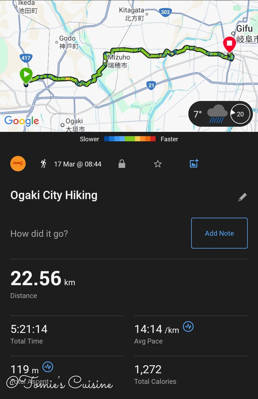
Day 5 on the Nakasendo takes us through the quiet plains of Mino, from Akasaka across the Nagara River at Godo to Kano-juku, the largest post station in Gifu Prefecture, where a castle town and distant castle-mountain view complete the story begun at Sekigahara.
As an Amazon Associate we earn from qualifying purchases.
Trip Overview
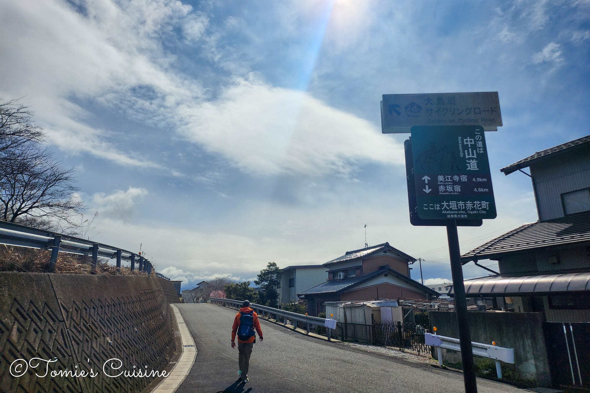
Day 5 on the Nakasendo starts with a return to where we left off. A quick seven-minute train from Ogaki drops us back at Mino-Akasaka station, and just like that, the road resumes. The weather had other ideas: cold, persistent rain and winds sharp enough to make every layer count. But then came the rainbow. It appeared low on the horizon as we were leaving Akasaka, and it was exactly the kind of sign we needed to keep moving. Twenty-two kilometres lay ahead, taking us through four post towns: Akasaka, Mieji, Godo and Kano, and ending at one of the most historically unusual stations on the entire route.
Post towns covered today: Akasaka, Meiji, Goudo and Kano
8:20 am Going back to Akasaka from Ogaki station
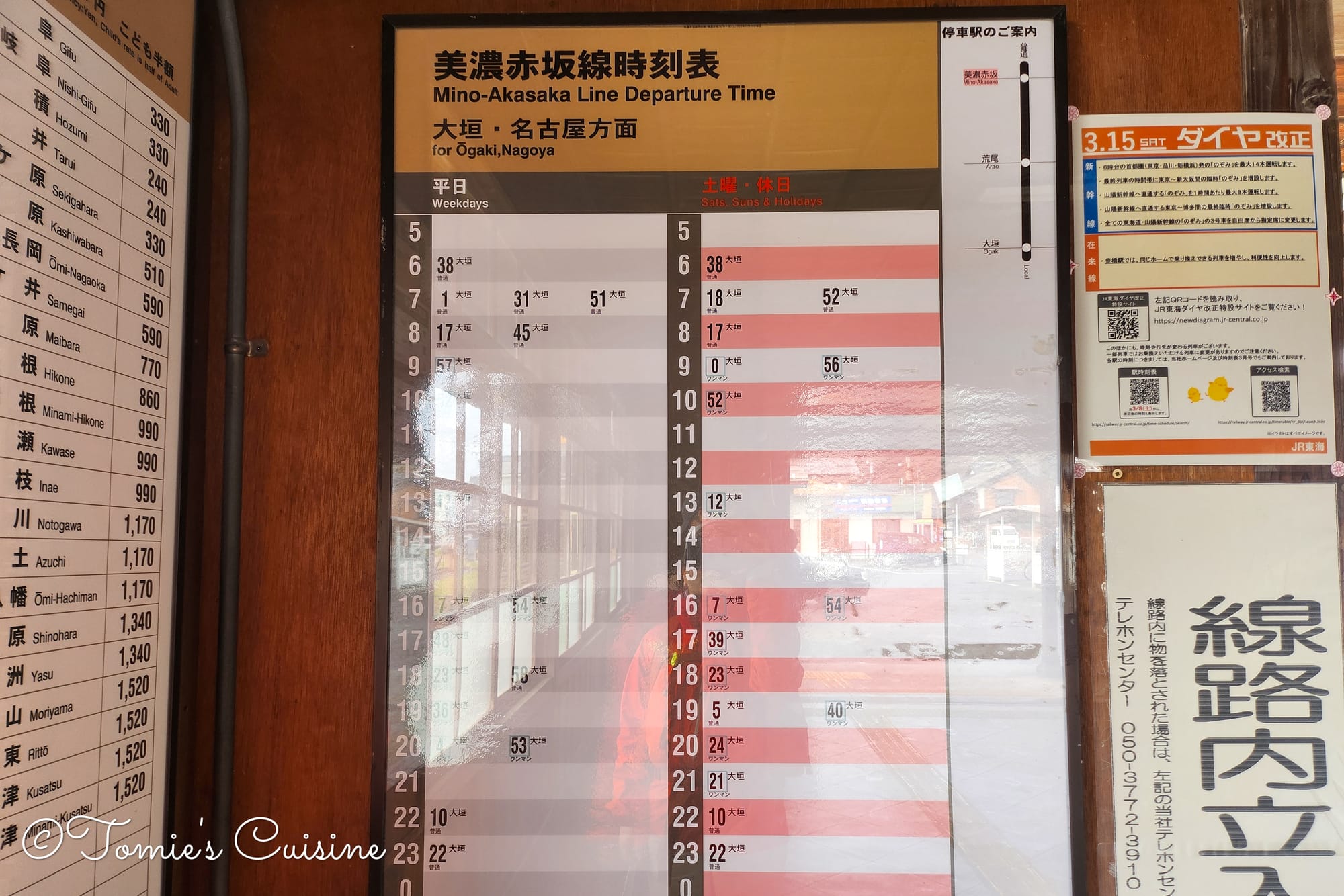
The timetable at Mino Akasaka Station.
We stayed at Comfort Inn Ogaki (from Day 4). Following the plan, we took the short JR train from Ogaki back to Mino-Akasaka Station, which took about 7 minutes and cost only 190 yen, to pick up the Nakasendo exactly where we left off.
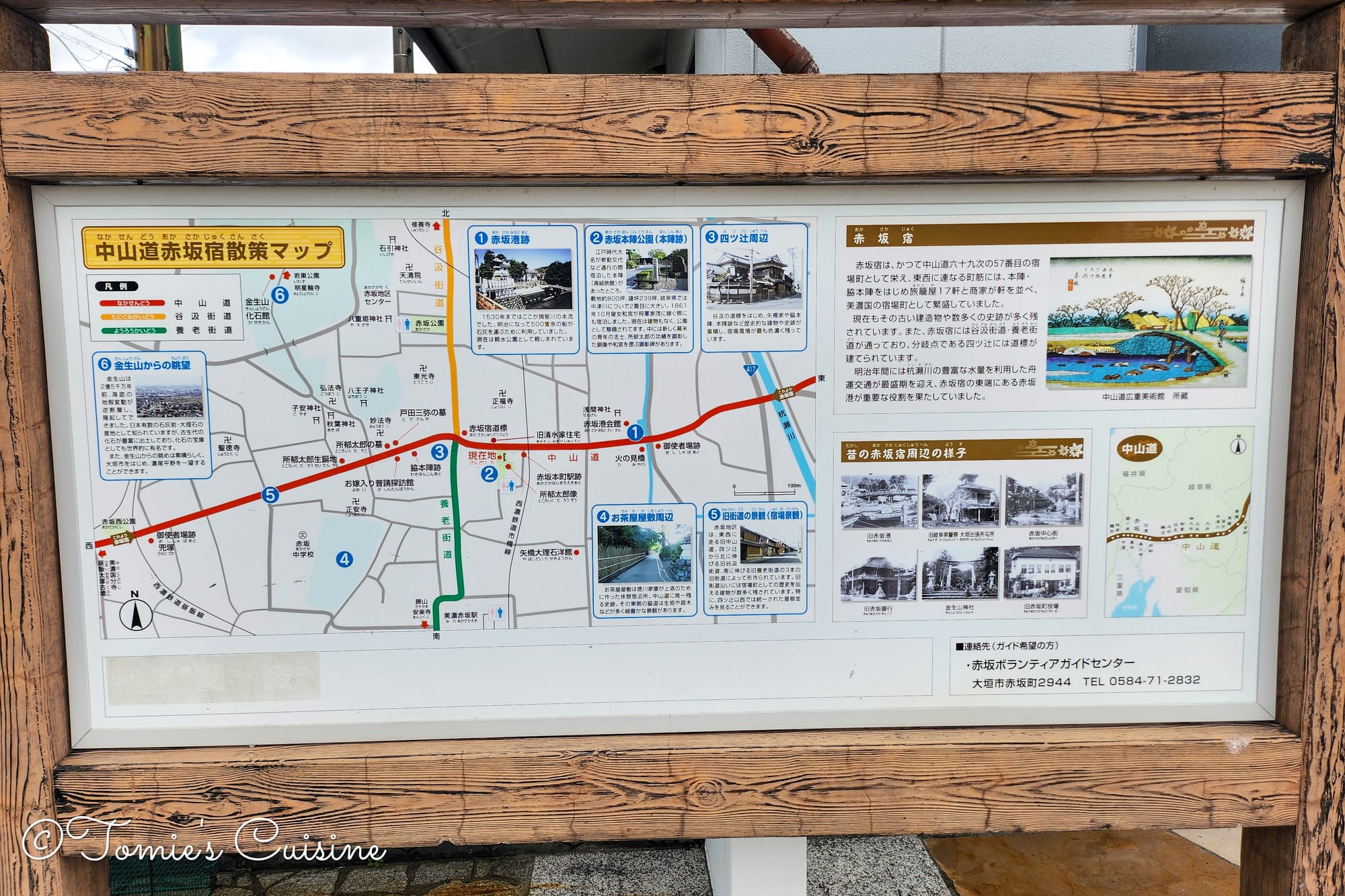
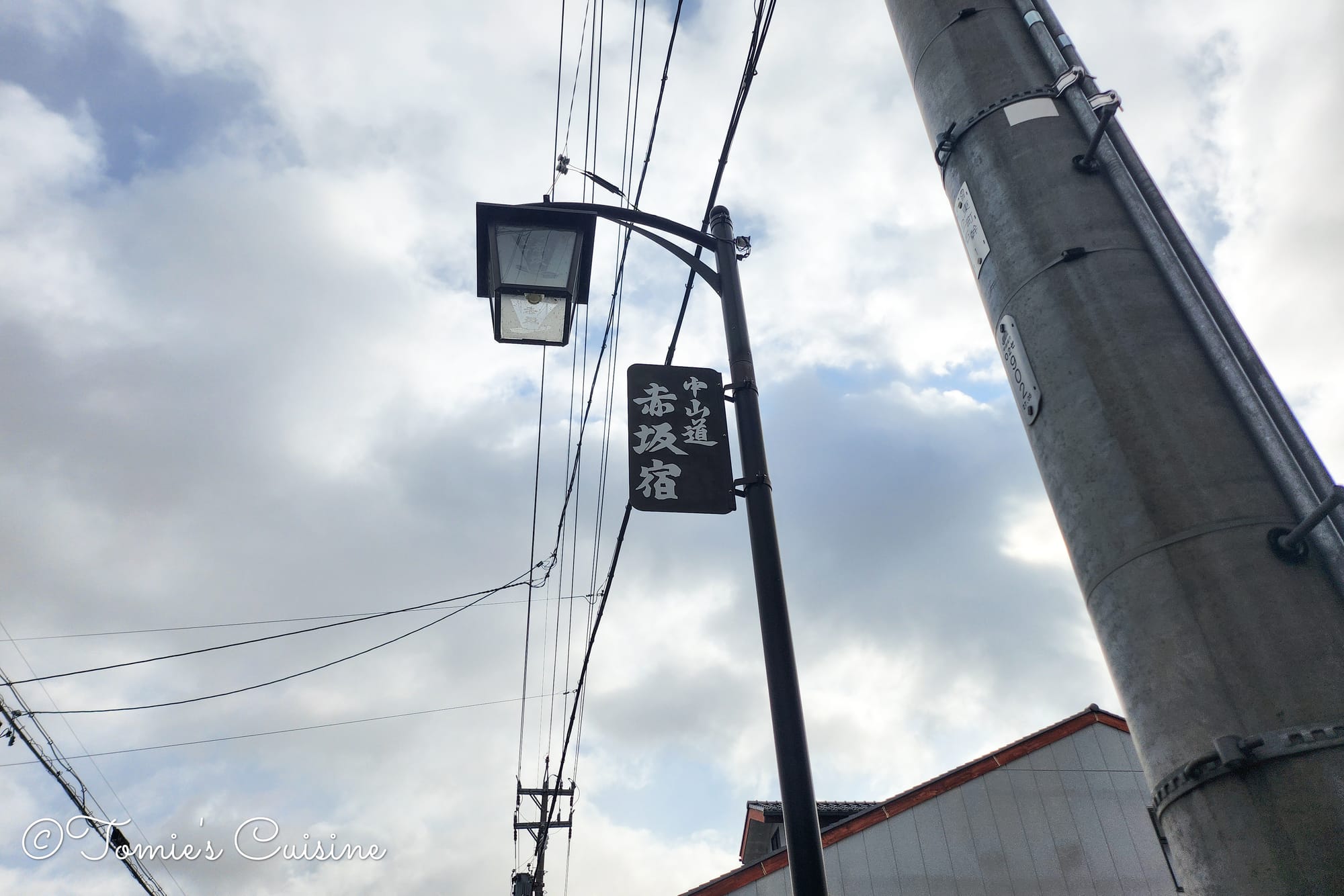
Nakasendo Akasaka post town walking map (left), and a Nakasendo Akasaka post town sign on the street lamp (right).
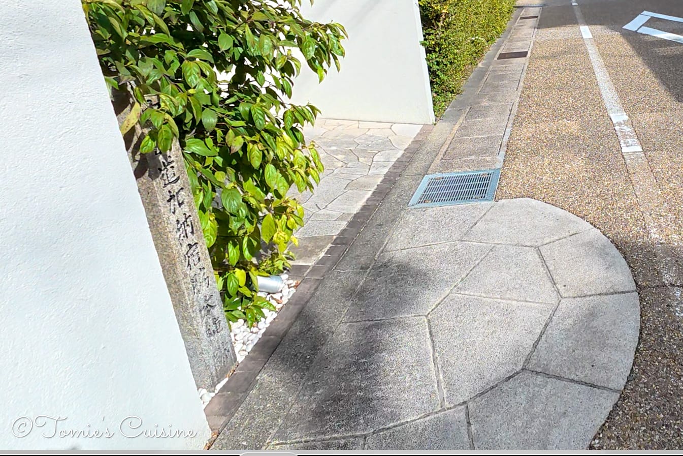
Back on the Nakasendo, the post town comes into focus within minutes. We later discovered we had walked straight past the honjin ruin, from the main path, it looks like a quiet park, and there is nothing to immediately draw your eye to the statue or sign inside. If you are walking through Akasaka, take a brief detour into the park on the left: the honjin marker is worth the few minutes it costs you.
Right, let’s go back to where we were!
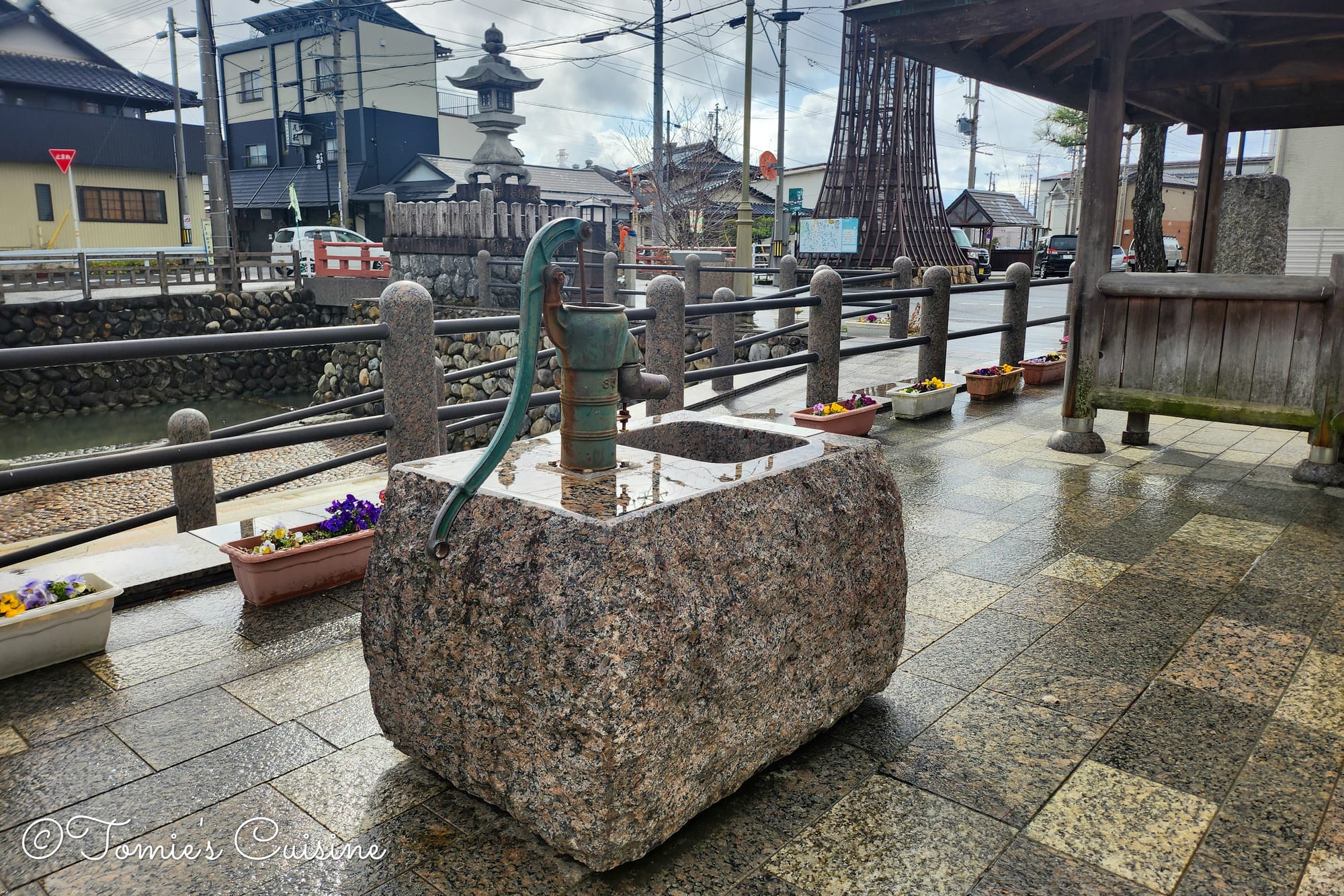
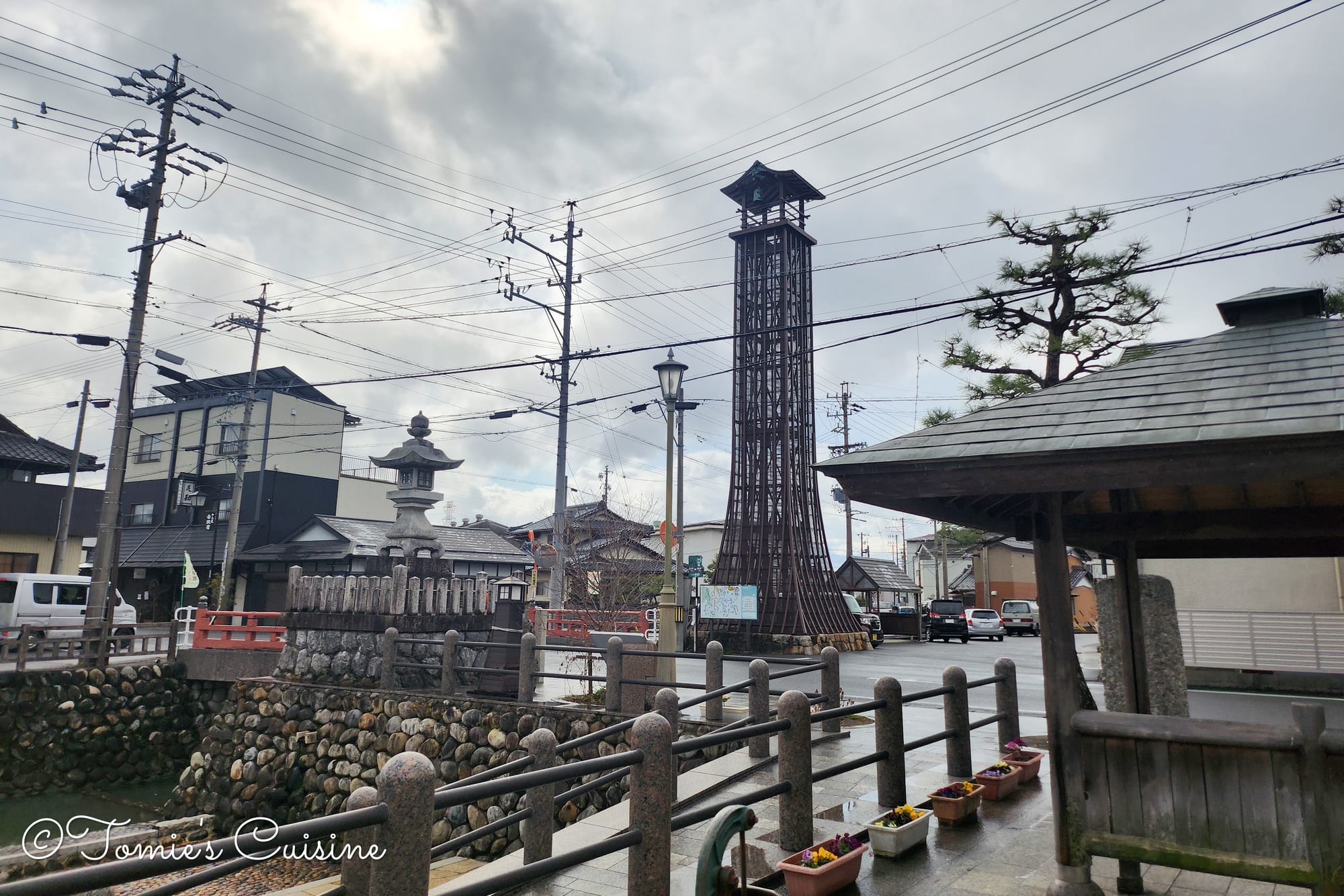
An old well (left) and the watch tower (right).
The centre of Akasaka post town has a small river running through it. This was once Akasaka Port, an active river trading port until the early 1900s. Beside it stands a tall fire watchtower that remained in use until around 1960.
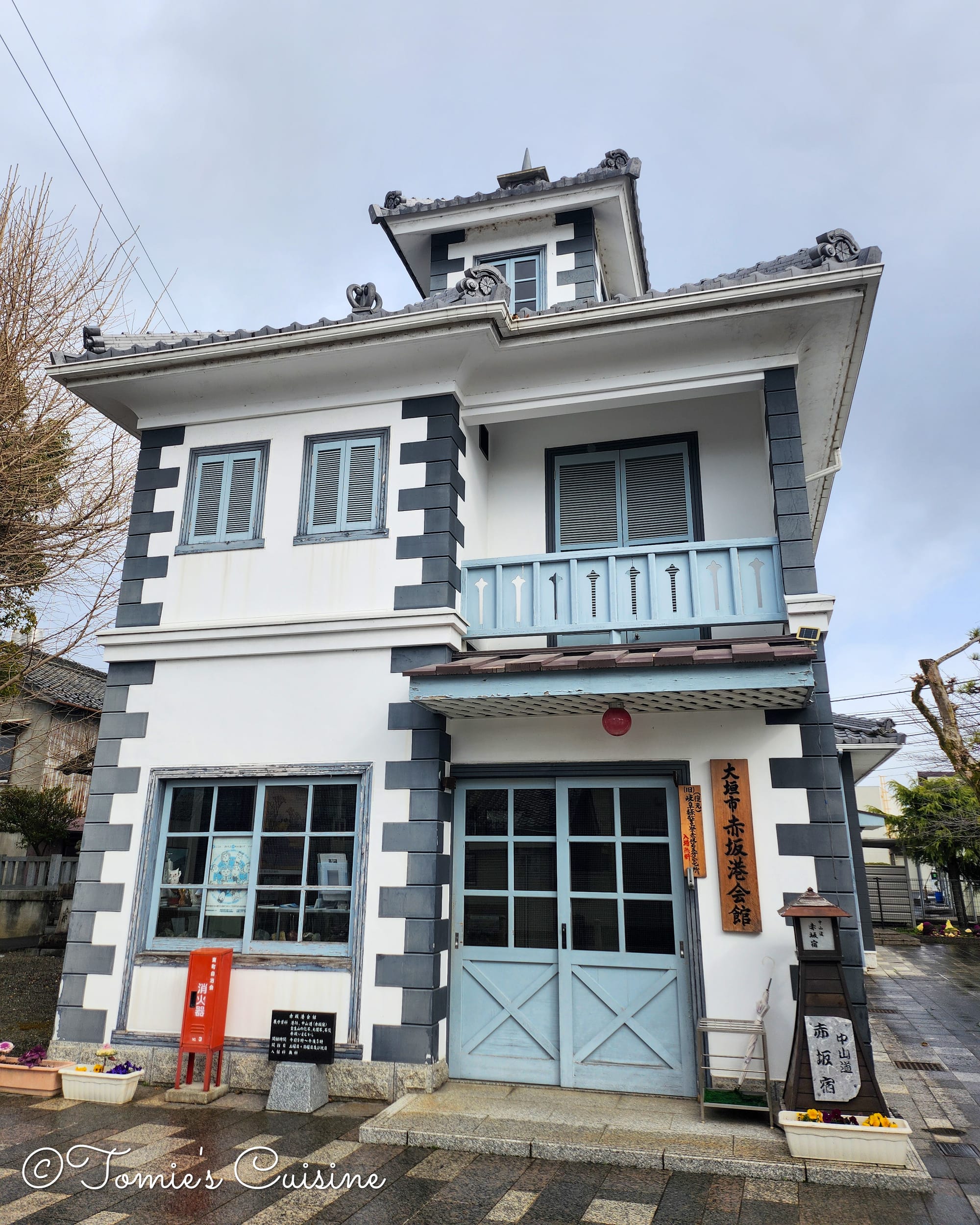
Akasaka Port Hall.
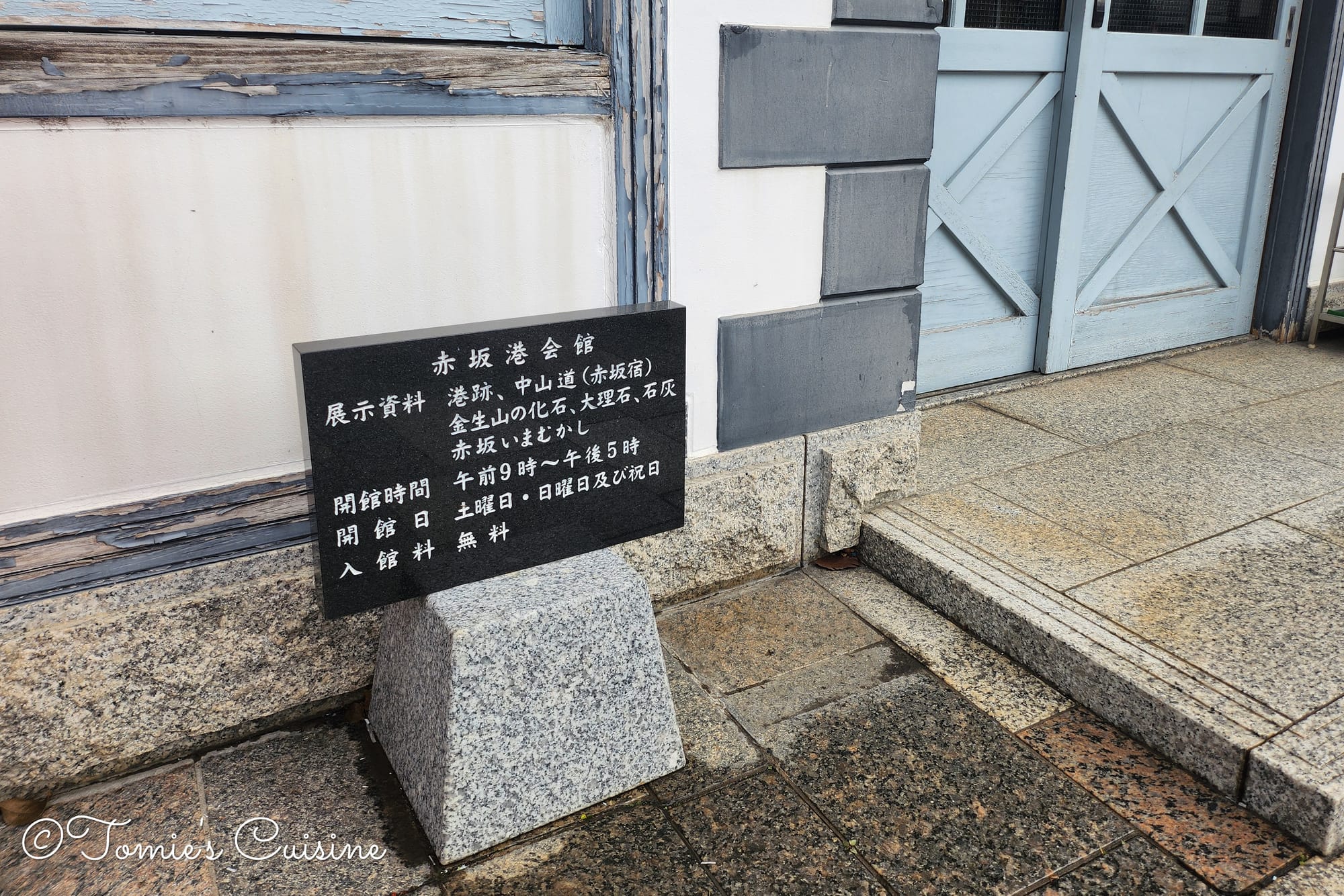
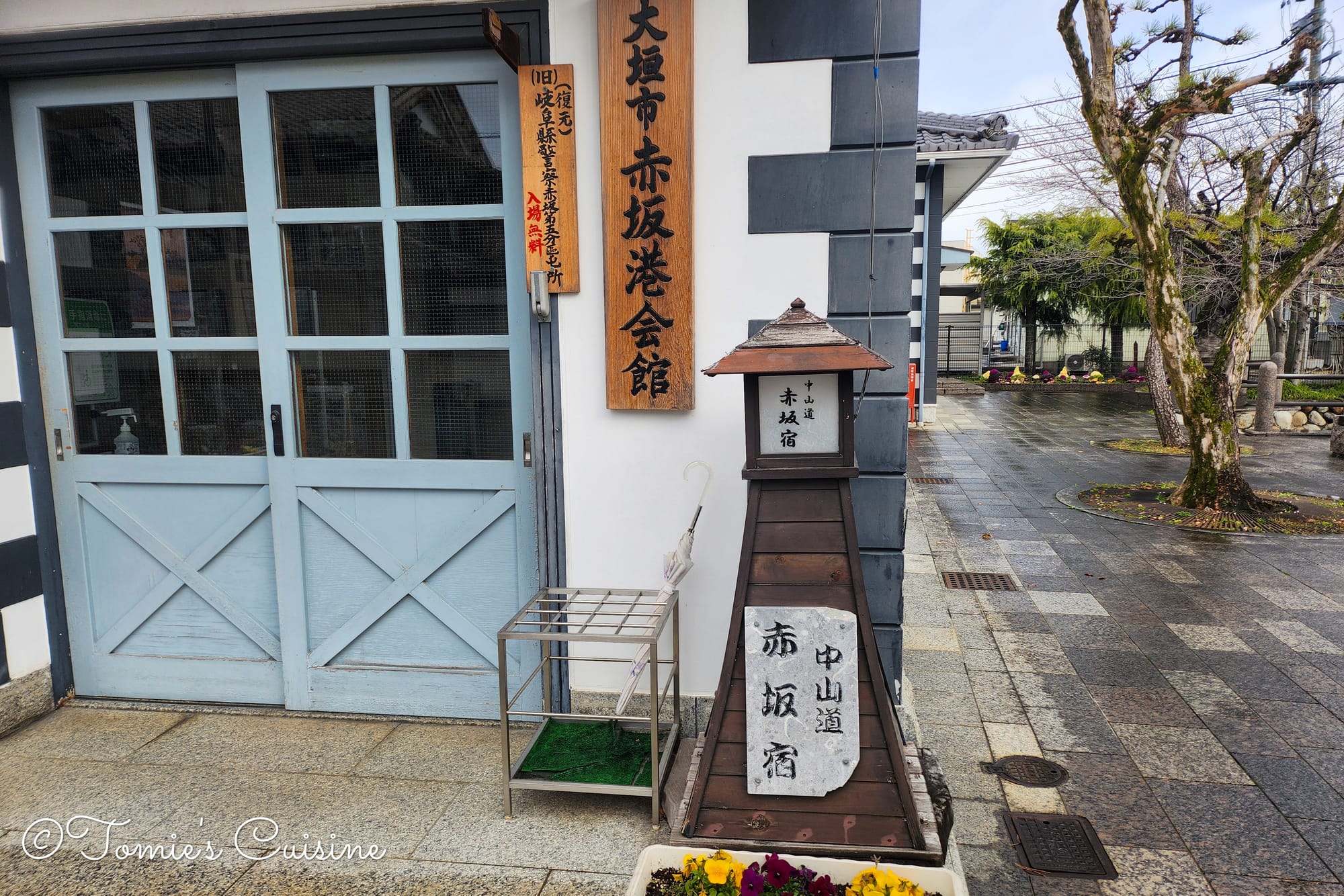
Next to the port ruin is Akasaka Port Hall (赤坂港会館), a local history museum. The museum is a reconstructed police station from Akasaka, built in 1875. It is a compact but well-kept space and a good starting point for understanding how important river transport was in this part of Gifu.
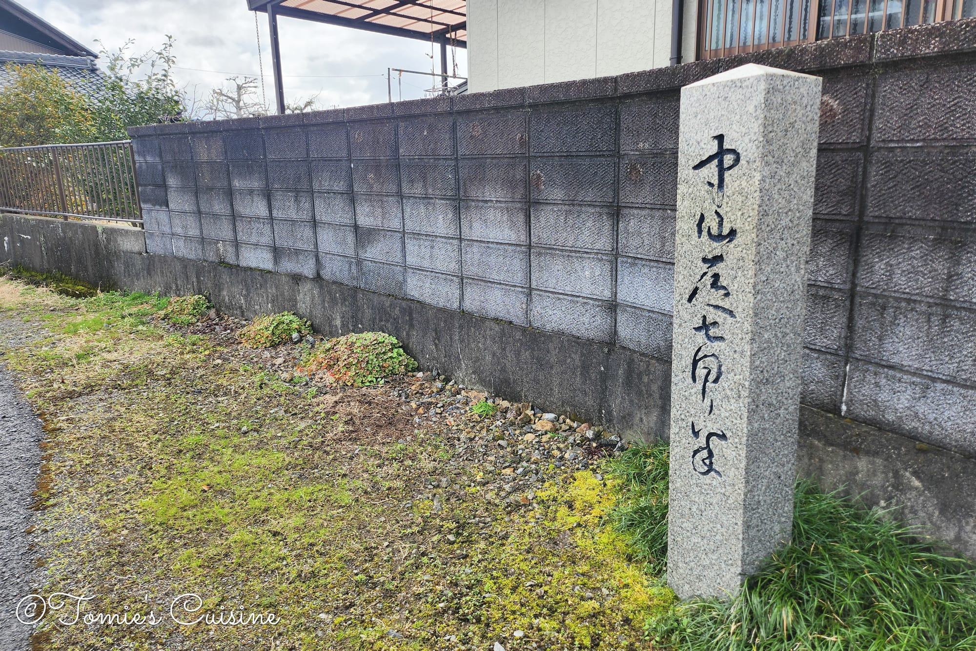
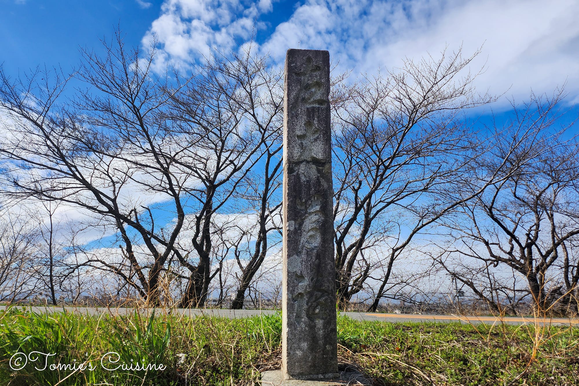
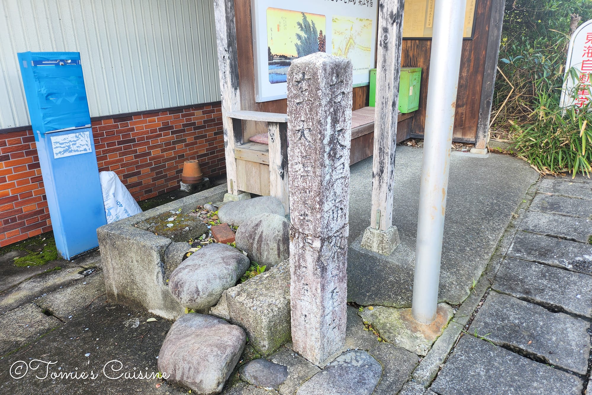
Ikejiri Ichirizuka (milestone) ruin.
It was still raining in the morning.
9:20 am Leaving Akasaka; Cold rain, but the rainbow cheered us up
Can you see the flat rainbow in the middle of the picture?
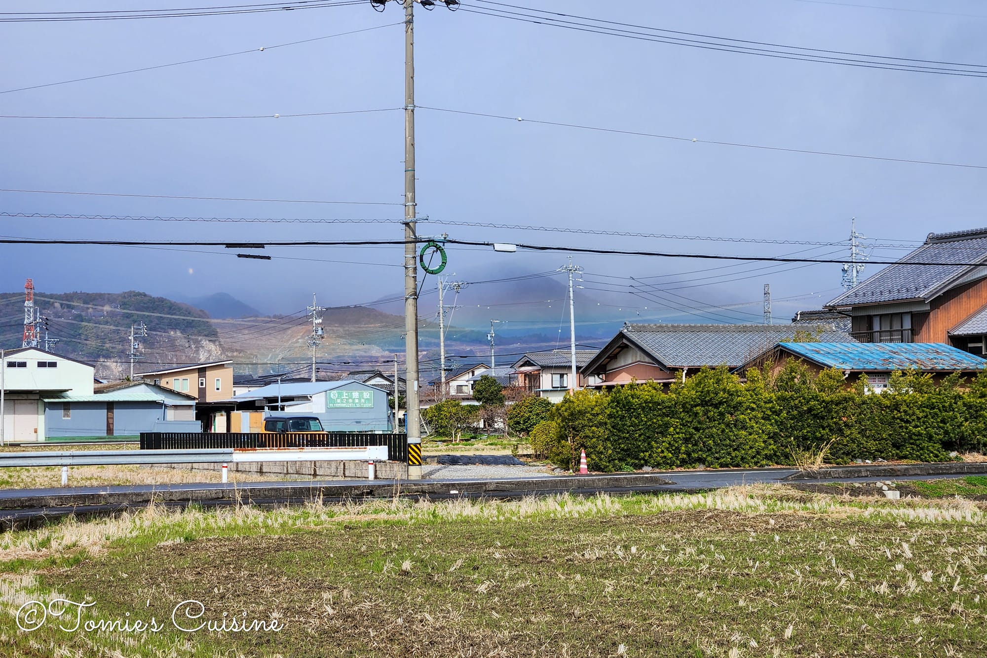
The rain had settled in properly, so we needed to wear almost everything we had, including gloves. But when we turned back for one last look at Akasaka, we could see a beautiful rainbow. It was appearing in quite a low position as if a parting gift from the town.
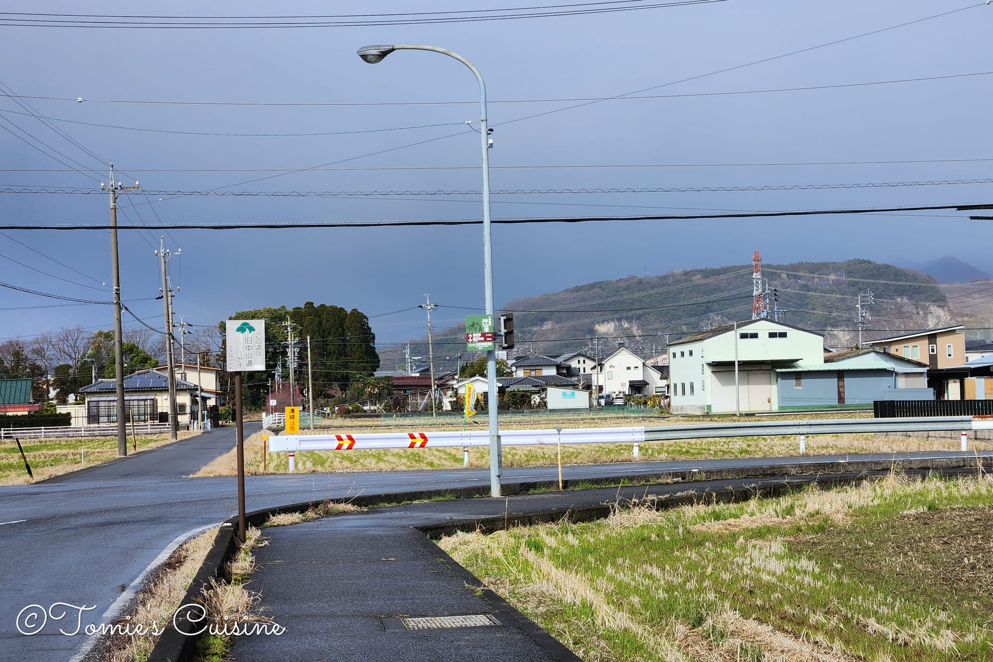
7.4km to Mieji post town, let’s go!
Seven and a half turnings and three and a half turnings (七回り半と三回り半)
Nana magari han (seven-and-a-half turnings) sign (left) and one of them (right).
While we were walking, we saw this sign but didn’t realise what it was, as even I, despite being Japanese, couldn't read it as we passed by. The road had quite a few twists and turns. According to the sign, there are seven turns on the way to Kyoto, so we encountered "seven turnings." There wasn’t any explanatory board, and we couldn’t find any historical information. If we do find it, we will provide an update here.
The purple mark on the right is where the "Seven and a half turn" sign is. As you can see, there are seven and a half turns from there towards Kyoto.This one reads "Nakasendo San Mawari Han (Three and a half turnings)".
The views we saw around the Hananoi River in Ogaki city (between Akasaka post town and Mieji post town).
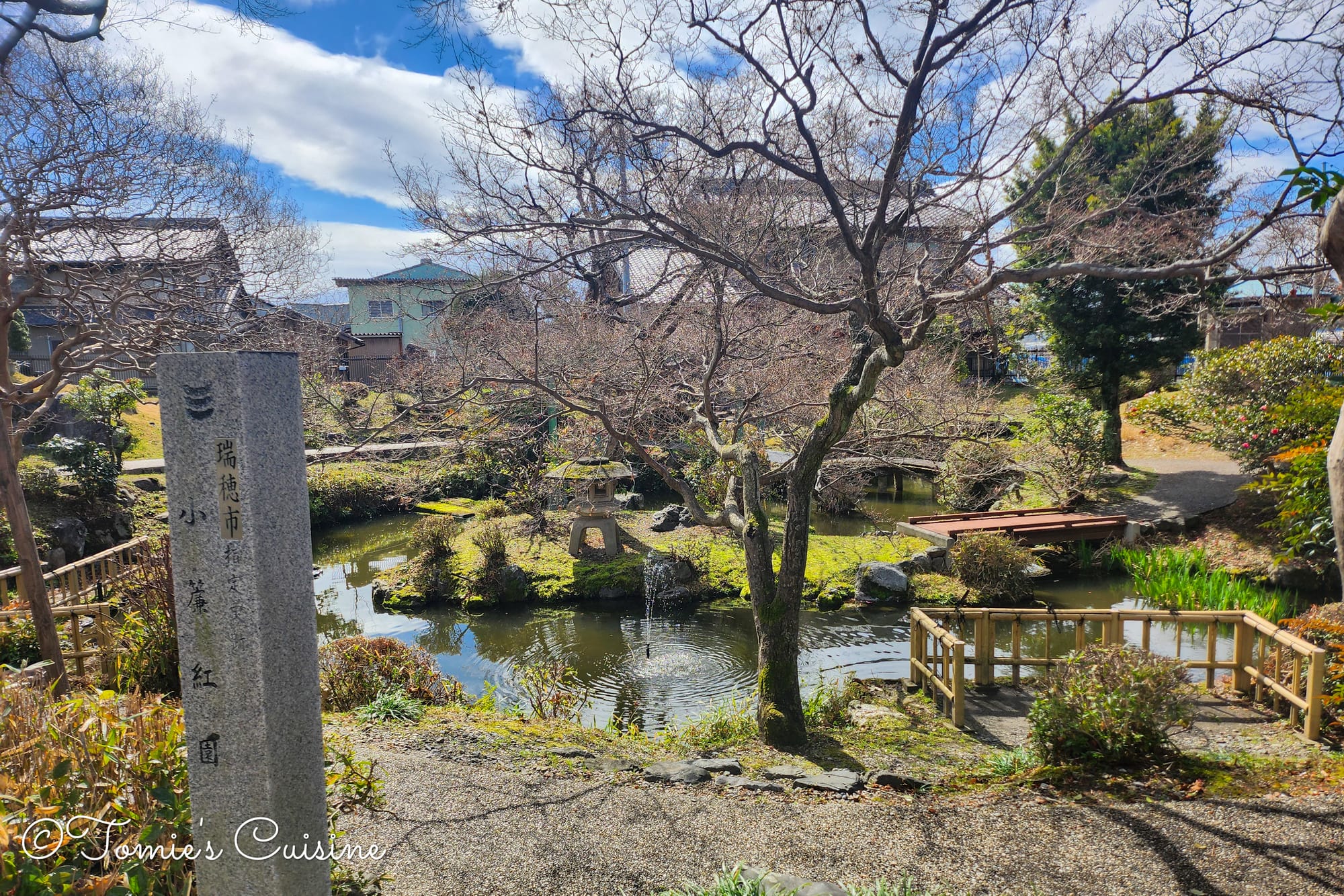
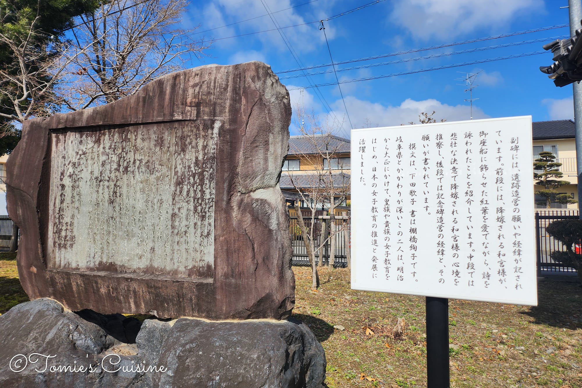
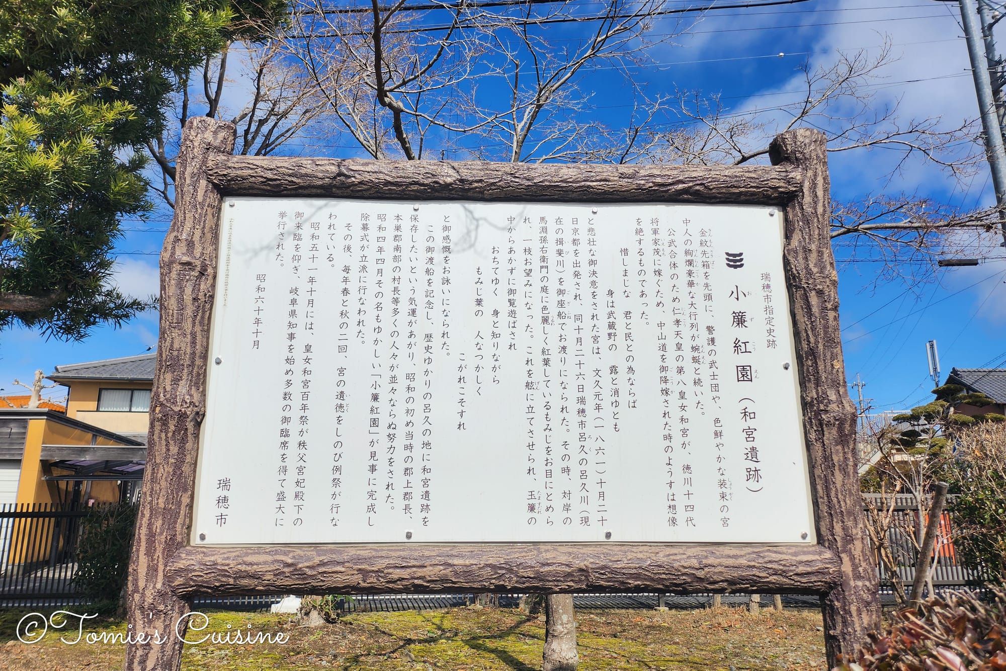
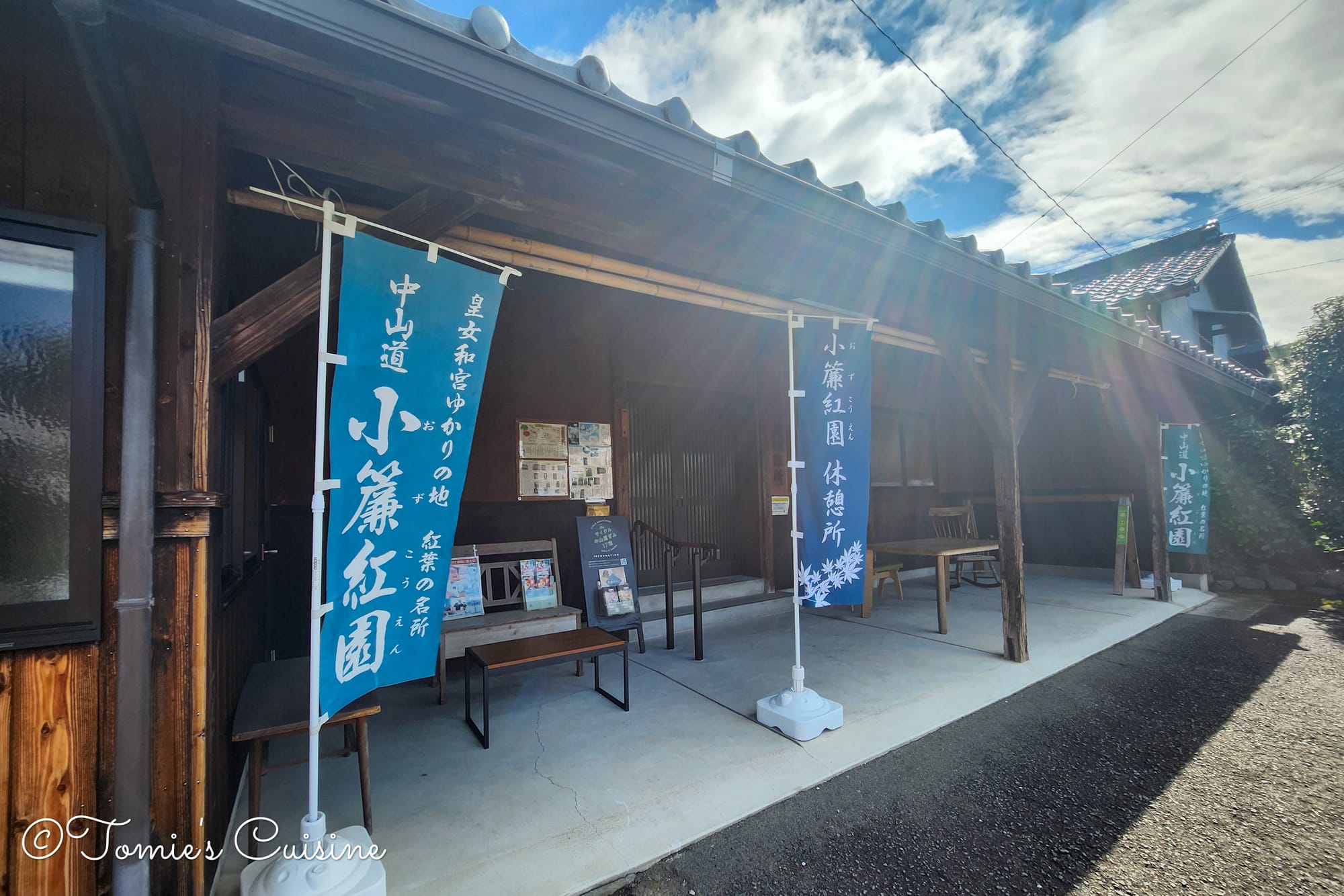
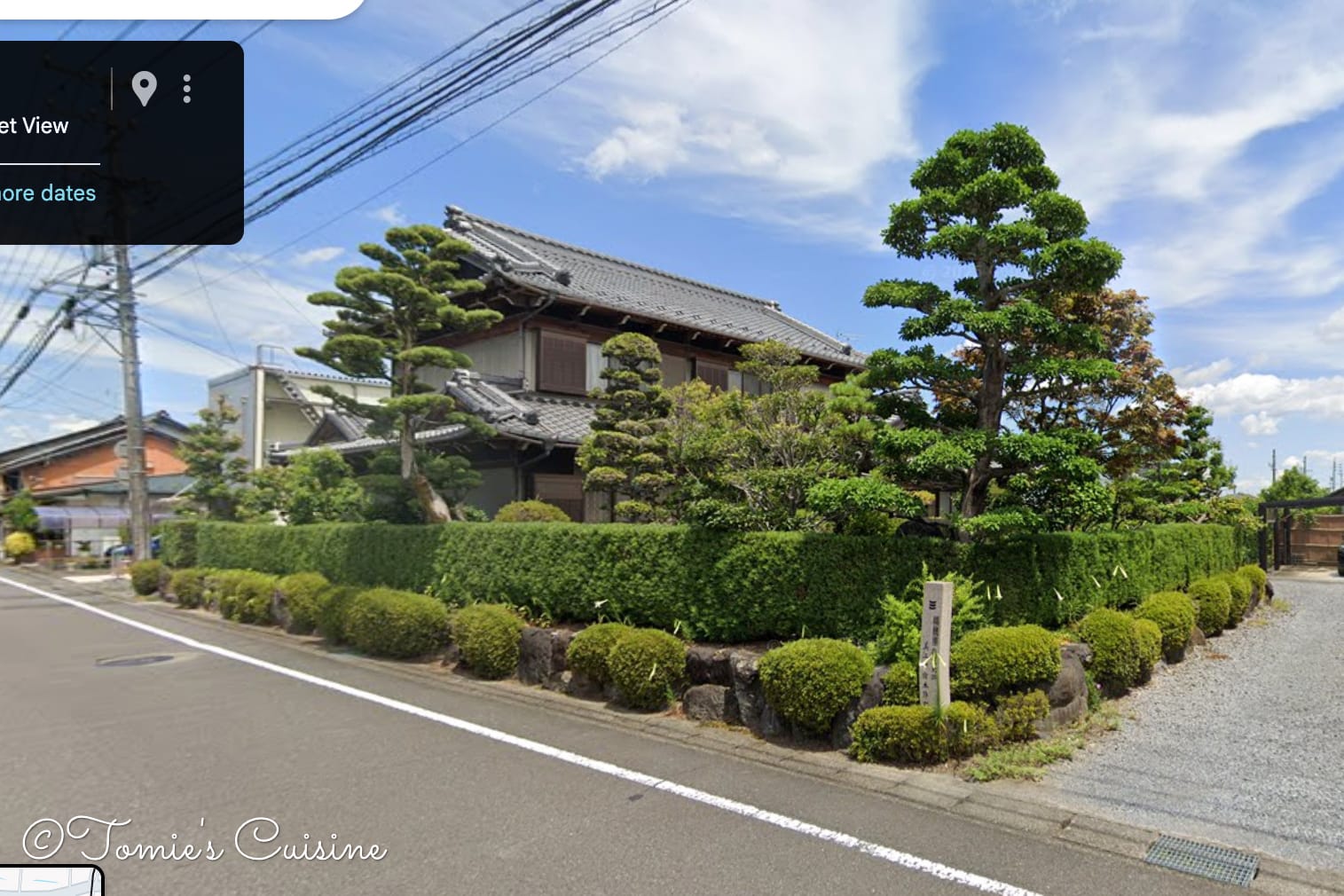
On our way to Mieji, we found a beautiful park with a garden called Ozu Koen along the Nakasendo. “Koen” is typically written “公園” and means “park”, but this one is written “紅園”, which means “red park (garden)”. It is named after its vivid maple leaves that draw visitors in every autumn, so it’s one of the most popular places to come and enjoy them.
Ozu Koen was built as a memorial to Princess Kazu (和宮 親子 内親王), who travelled the Nakasendo to marry the fourteenth shogun, Tokugawa Iemochi (徳川家茂), and relocate to Tokyo (Edo). She left behind a fiancé and the Kyoto life she had known. Before crossing the Roku River (now the Ibi River), she composed a poem. The poem speaks of maple leaves: they know they are falling, but they do not mourn it. They simply live out their lives fully. The park carries that spirit quietly.
The information board about the Roku ferry dock and the old Ibi River. The river used to be big, but now it's small.
The boat dock used to be beside this park, where the Roku River was. Then in 1925, the dock was moved to the new Ibi River. But the poem, and the park built around it, remain. Mizuho City holds an annual festival here in both spring and autumn to honour Princess Kazu's memory.
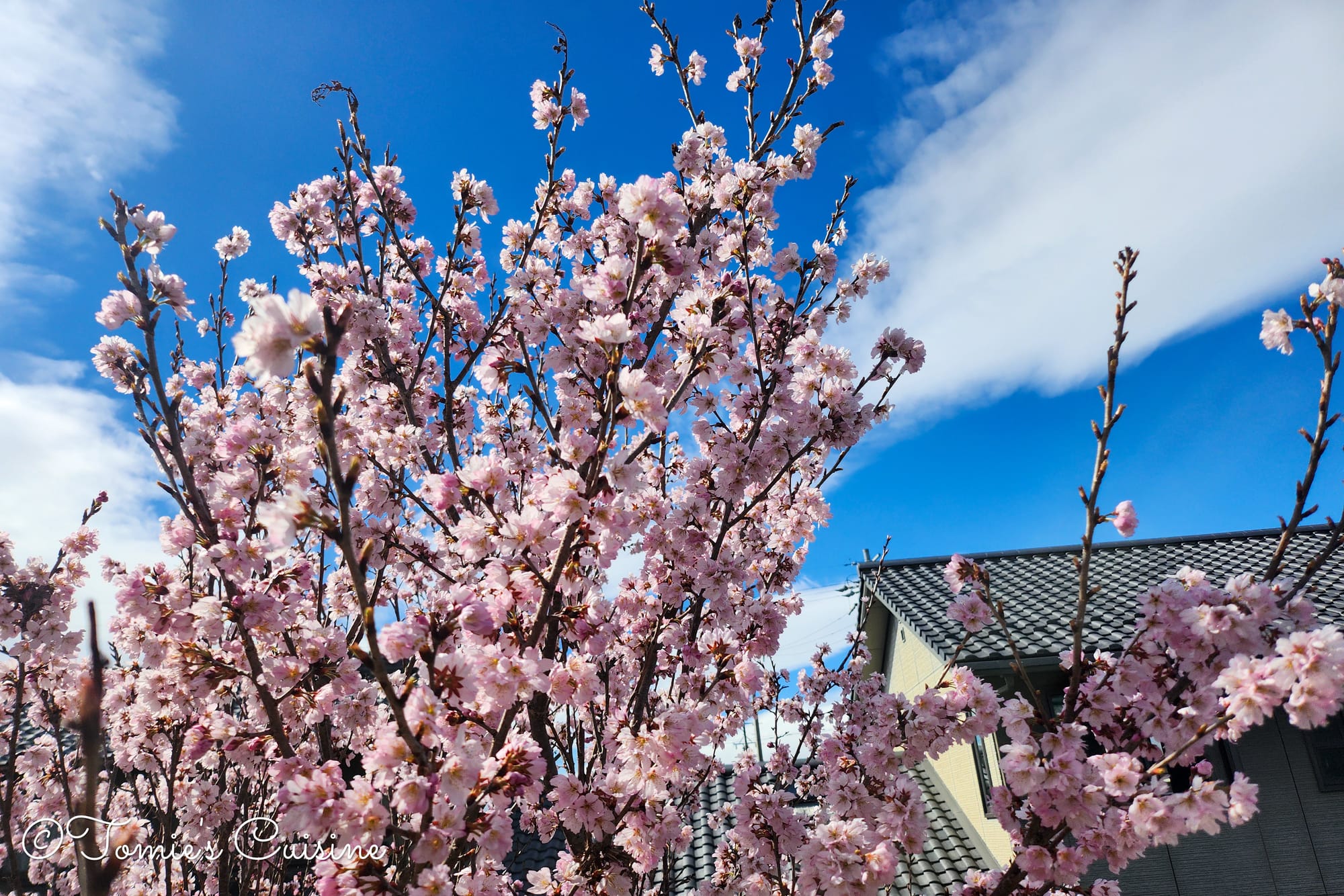
It was March when we visited there, so we couldn’t see the coloured leaves, but it was nice to stop by to enjoy the ambience. We are hoping to visit again during the coloured leaves season and think about the poem.
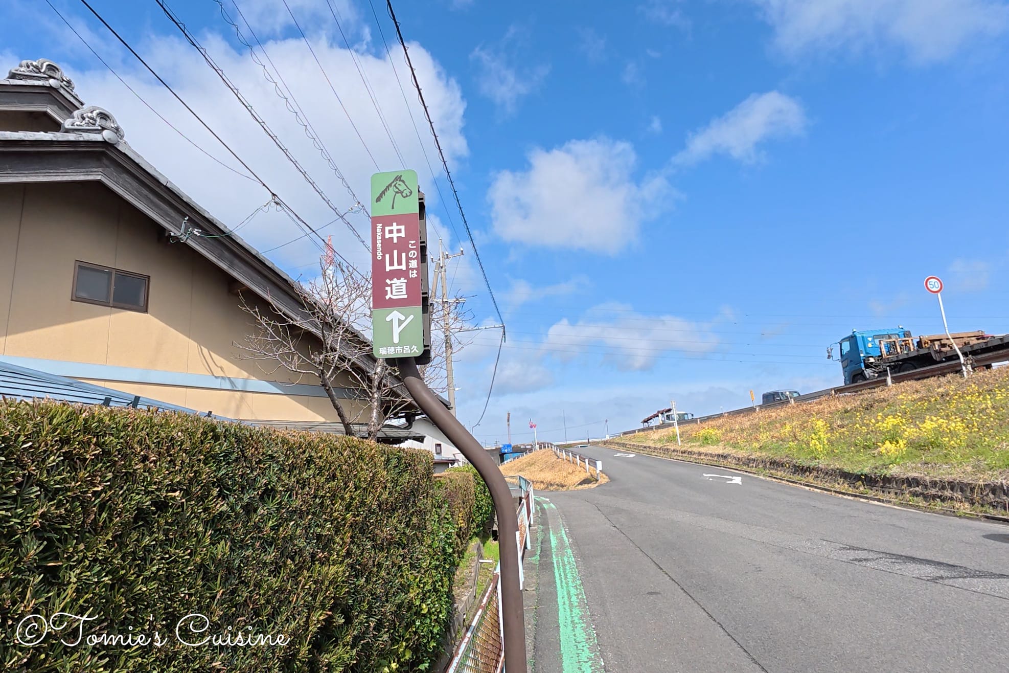
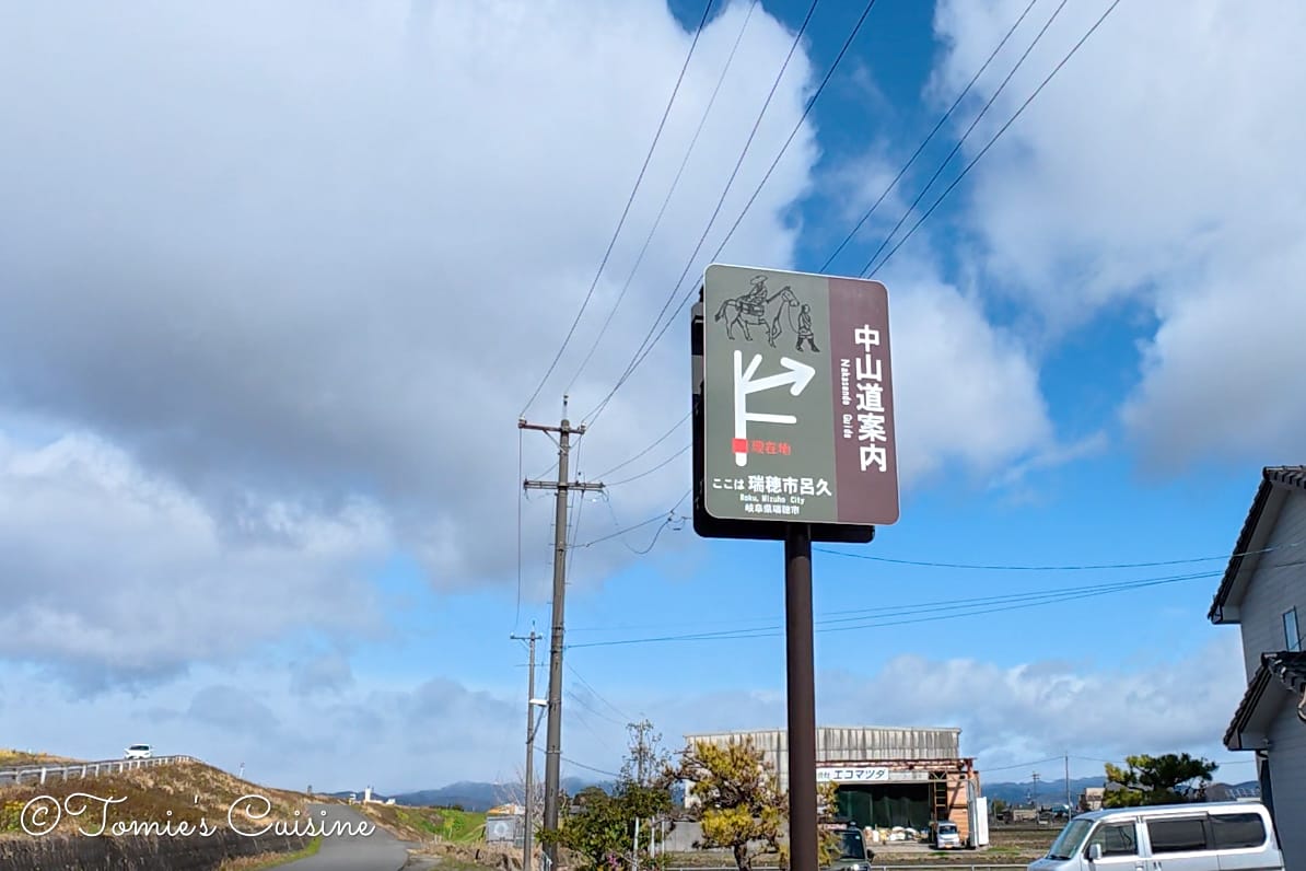
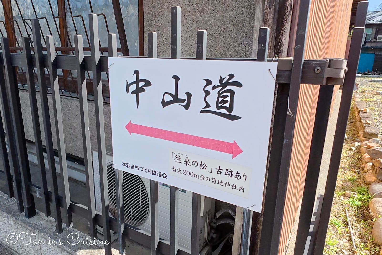
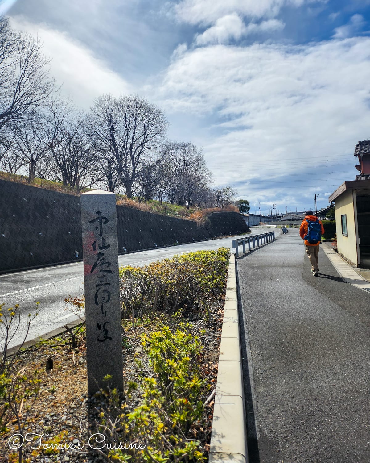
The Nakasendo direction sign helped double-check that we were following the path (left).
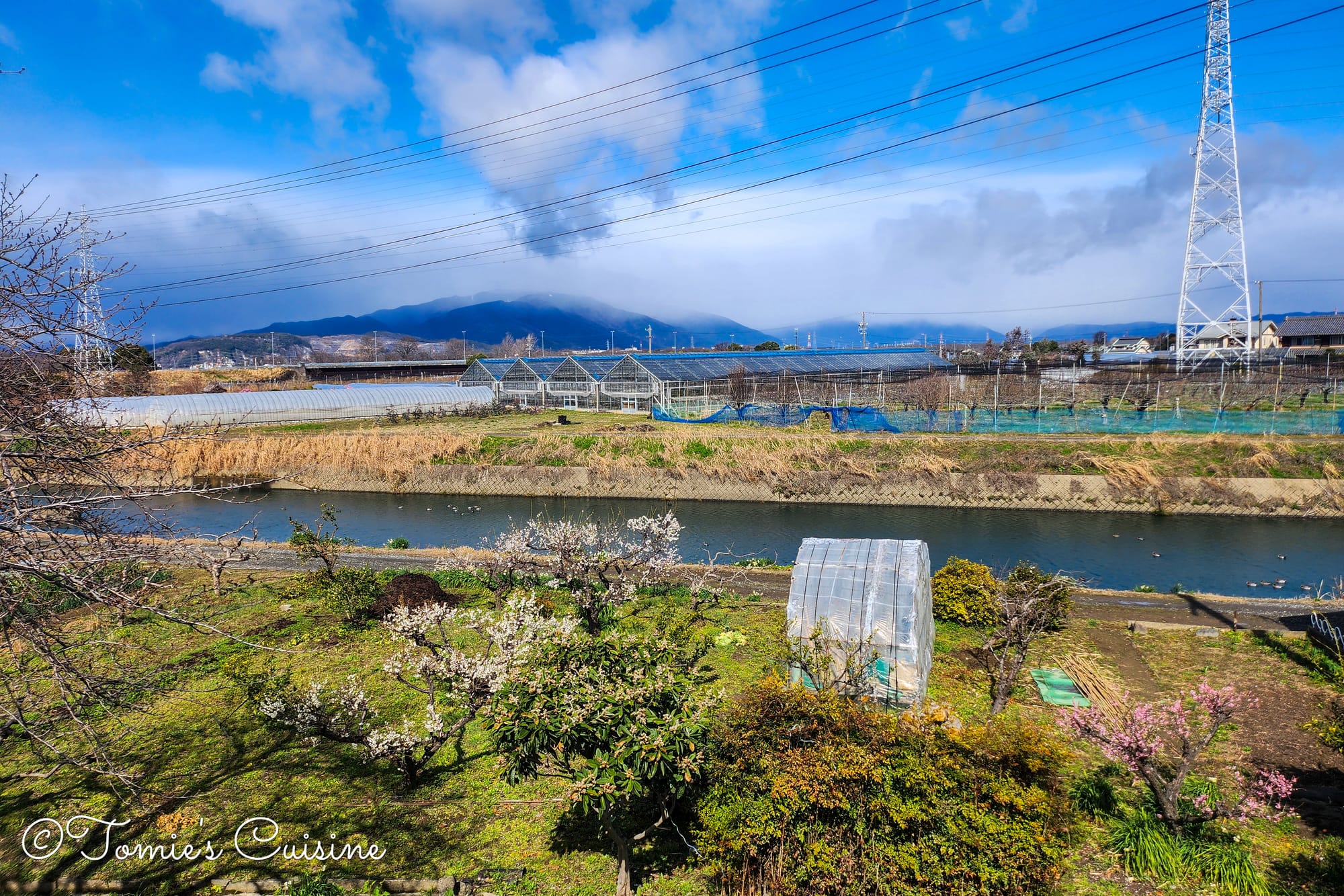
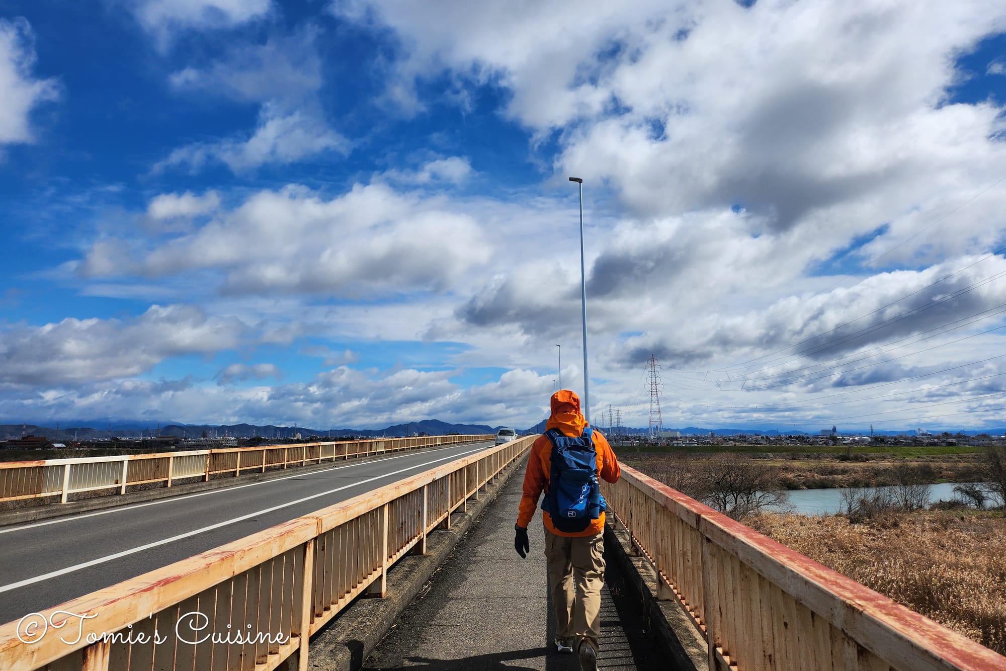
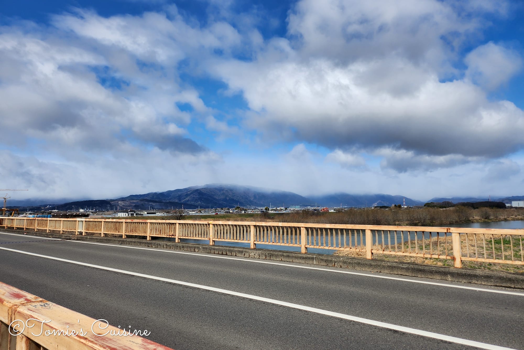
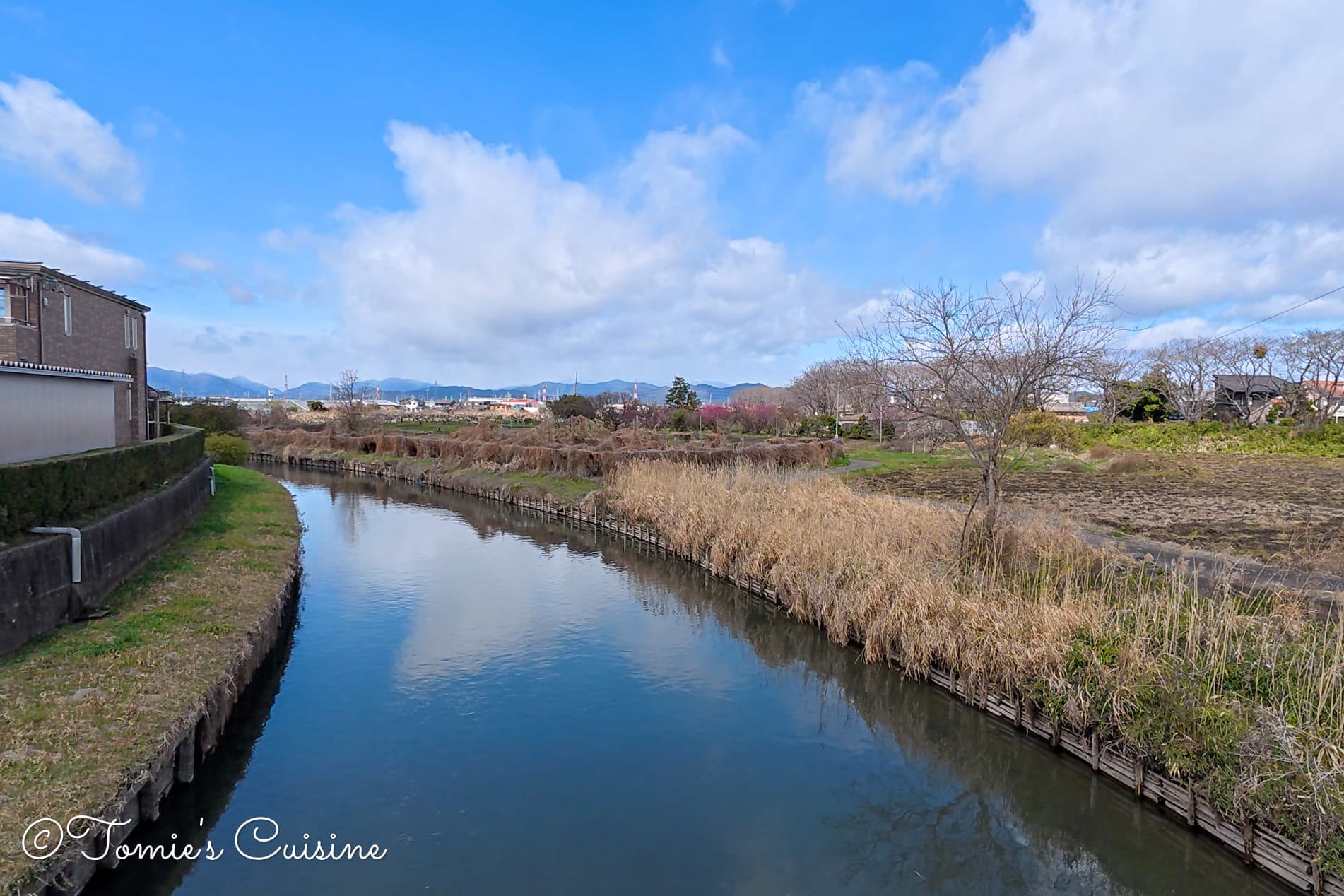
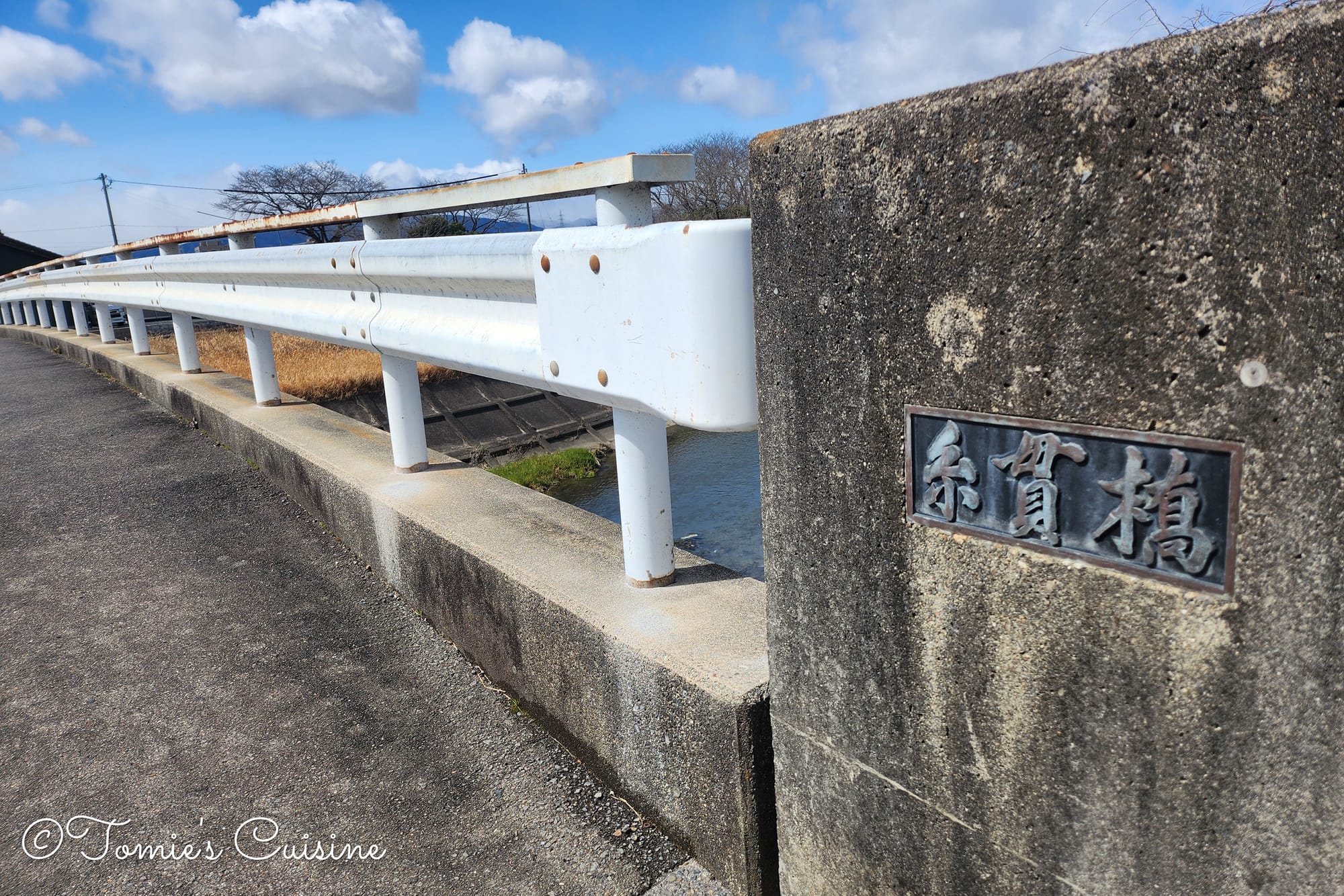
The Sagita Bridge carries the Nakasendo over the wide, shallow Ibi River (揖斐川). The bridge is straightforward, but the scale of the river gives you a sense of how formidable a natural barrier this would have been before modern crossings existed.
The weather improved, but it was a cold, windy day, especially as we crossed the bridge over a large river like the Ibi River.
After crossing the Sagita Bridge.
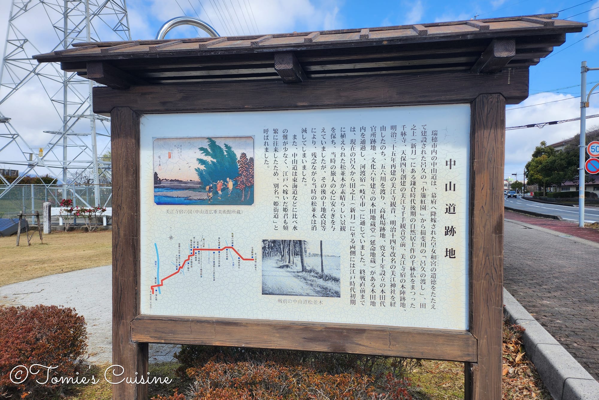
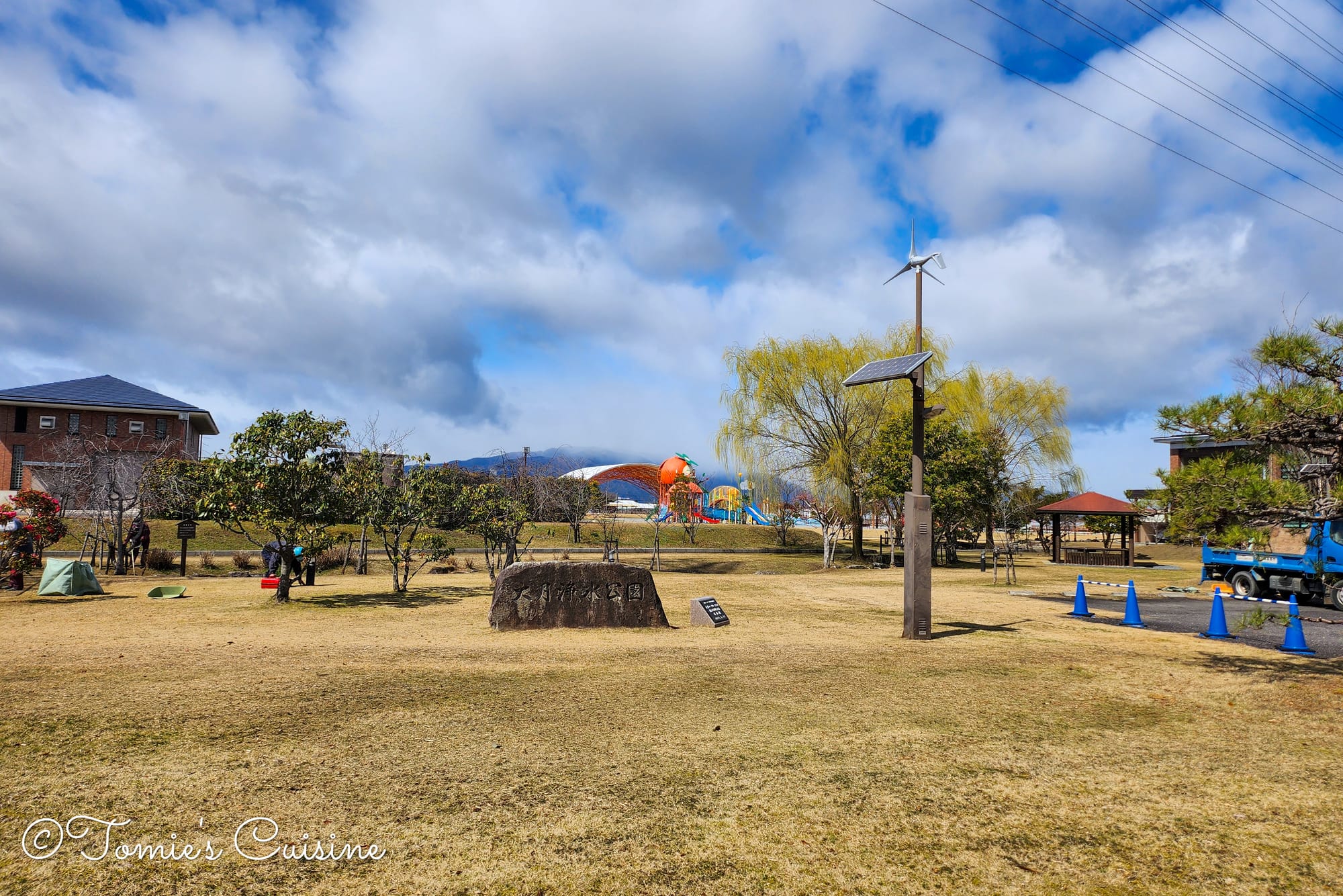
Otsuki Josui park (大月浄水公園) had an explanation board about Nakasendo post towns and ruins in Gifu prefecture, and a stone pole with the names of post towns. Cool spot to rest, especially for Nakasendo travellers!
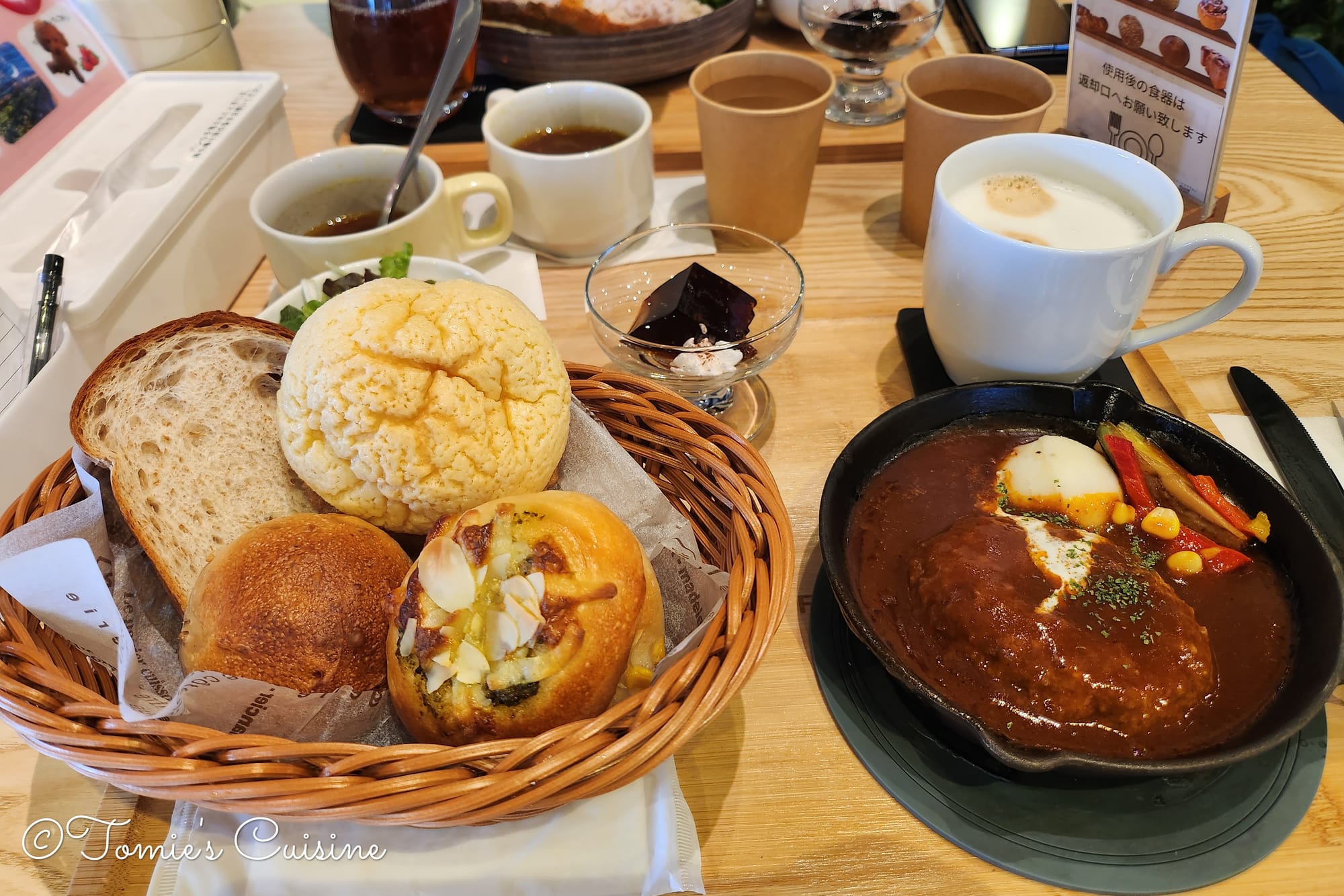
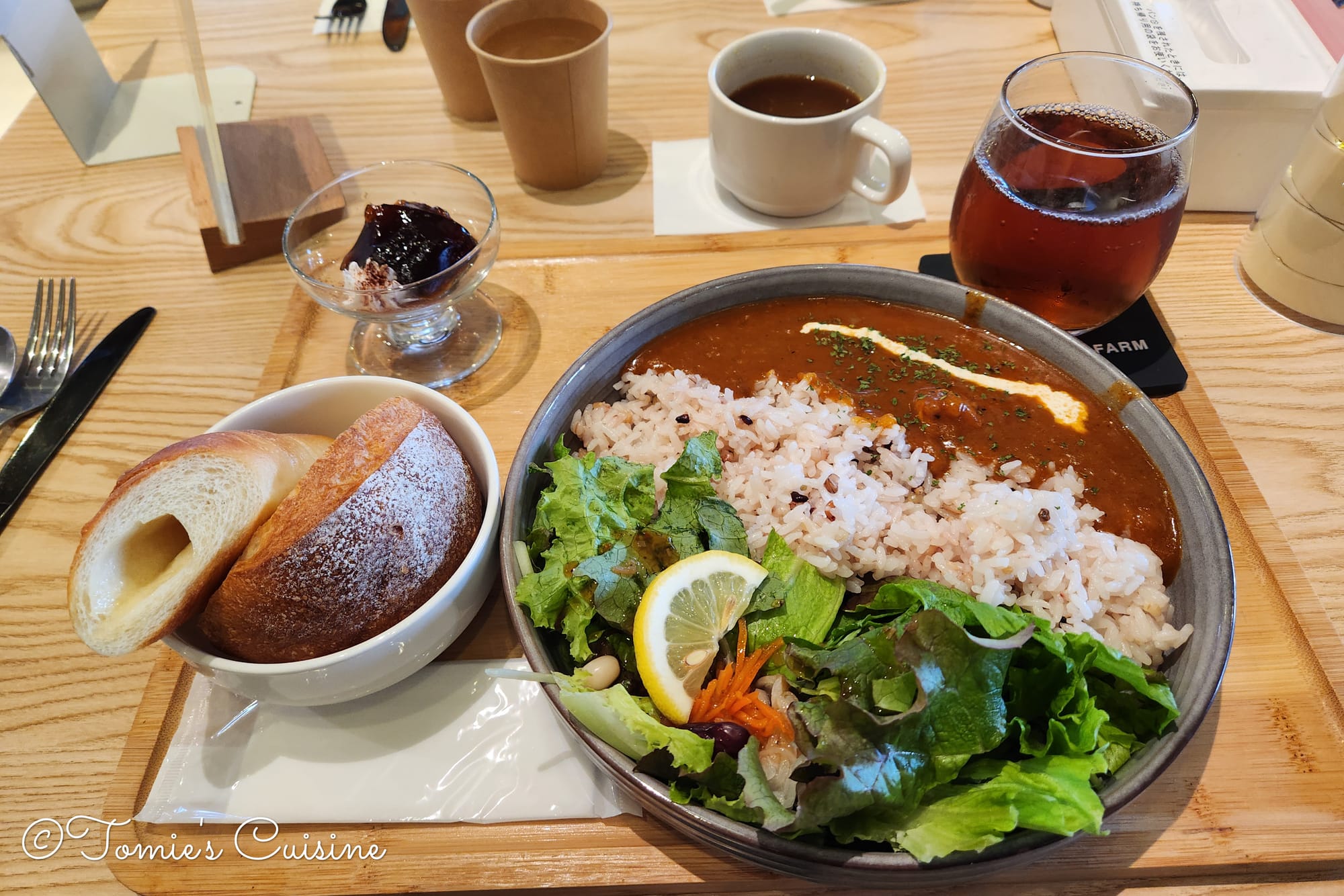
The lunch at Hanaoka Farm in Mizuho city, near Mieji post town.
We had been looking for somewhere to eat since leaving Akasaka, and the Nakasendo in this stretch is not exactly full of options. Hananoka Farm turned out to be a welcome surprise: a strawberry farm with a proper café space, already busy when we arrived at a quarter past eleven.
The cafe space was big, and we ordered and took a seat. There were self-service section where you can get some water and soup. They were serving a few different lunch menus, so we chose Hamburg steak with demi glace sauce and curry. For the Hamburg steak, a lot of different kinds of bread came with it, and I was worried I wouldn't be able to finish them, but there was a plastic bag on the table to take the leftover bread home.
They were serving various desserts made with the strawberries from their farm, but we didn’t want to be stuffed, so we passed this time. They are also selling their strawberries, but it was surprisingly expensive for the direct farmer’s market.
The great part of the farm was that it is dog-friendly! It’s unusual, so we liked that bit a lot!
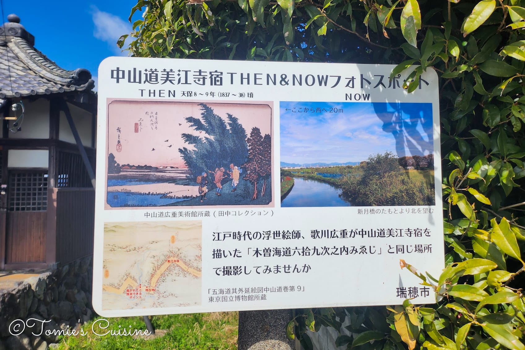
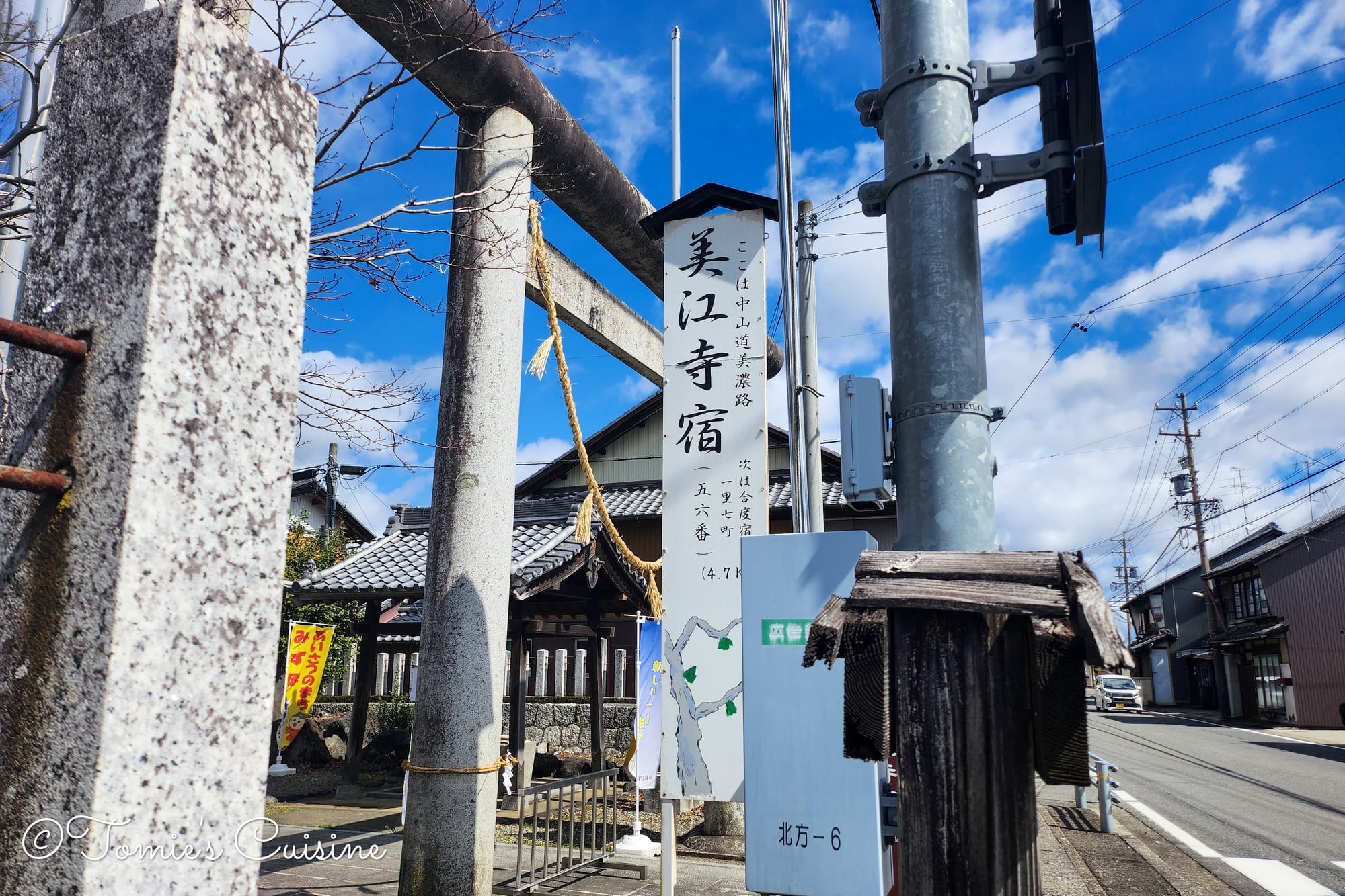
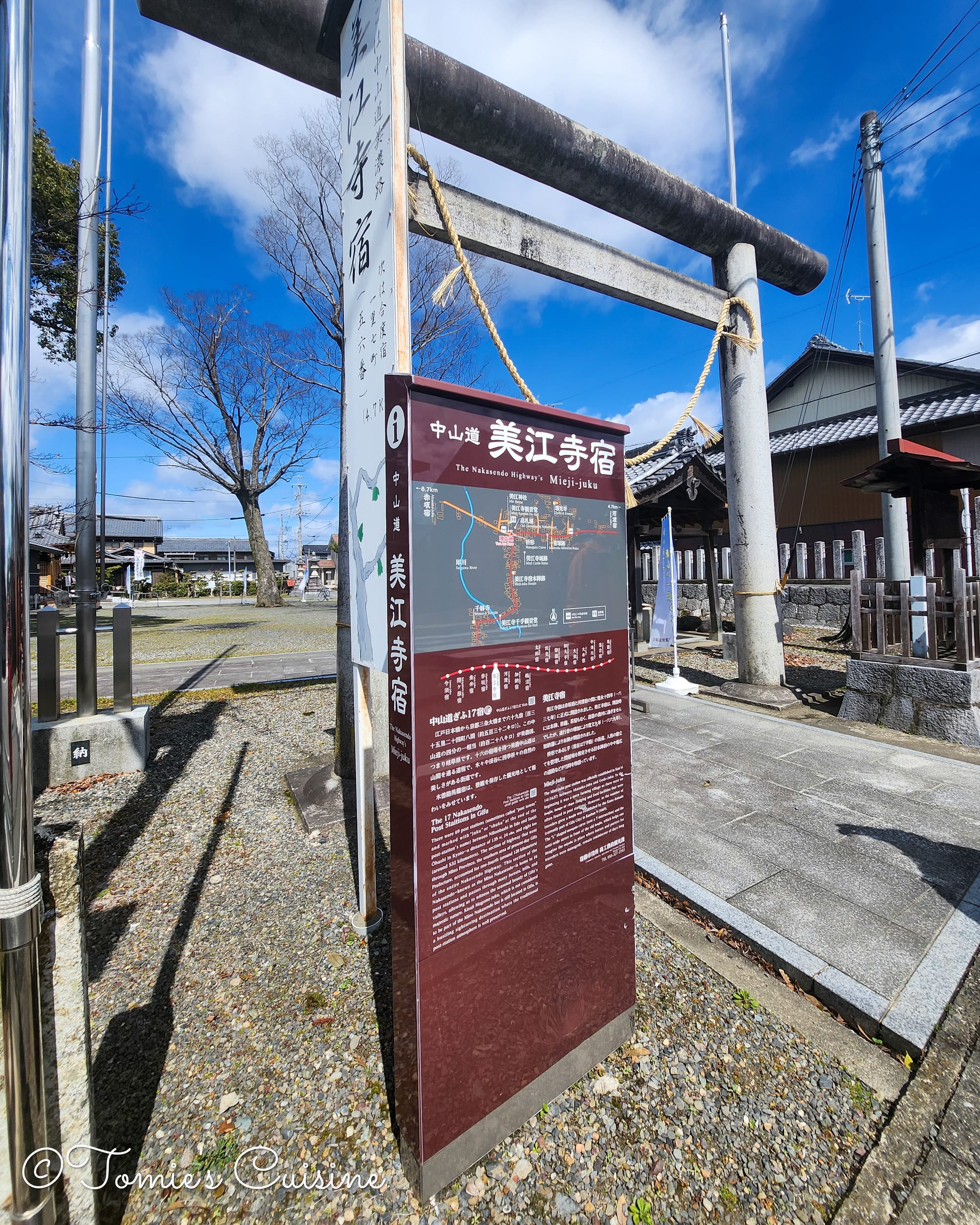
The Mieji post town Ukiyoe and the actual viewpoint explanation board next to Mieji Senju Kanon.
A small sign marked our first indication of Mieji, and just beyond it came something genuinely exciting: a board explaining that the bridge we had just crossed is the exact spot depicted in one of Utagawa Hiroshige's Sixty-nine Stations of the Kiso Road woodblock prints! Hiroshige's series documented the Nakasendo's post towns in the early nineteenth century, and seeing the real landscape behind one of those prints, standing where the artist once stood, is the kind of moment the Nakasendo keeps delivering.
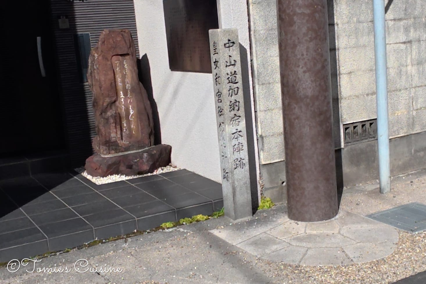
We missed the location of the Honjin ruin in Mieji post town, so here's a screenshot from Google Maps. The building is not the Honjin, by the way.
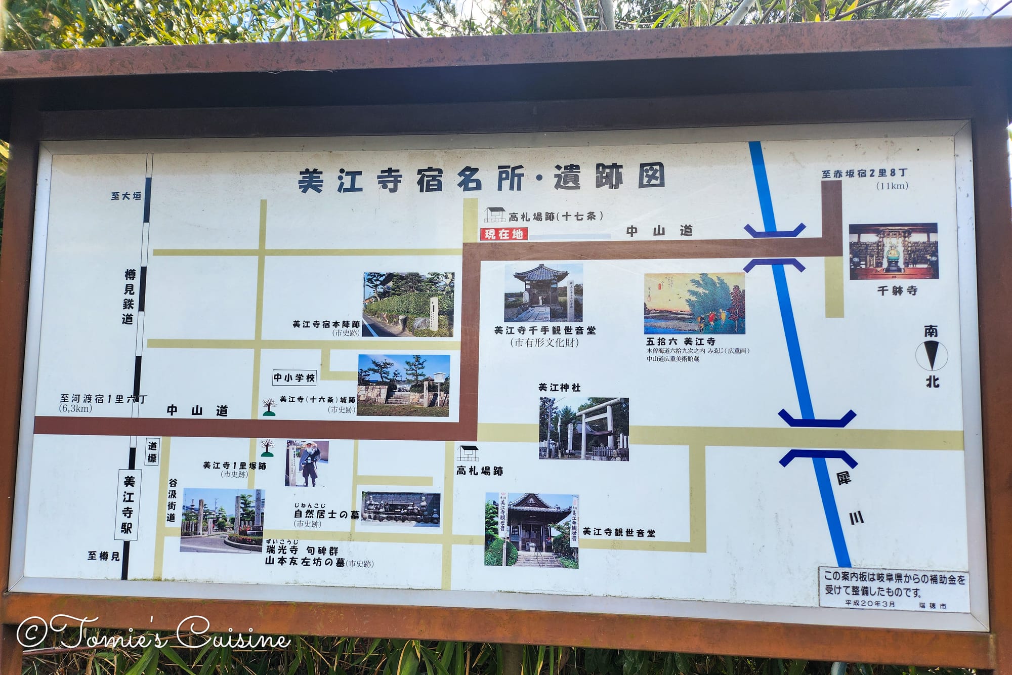
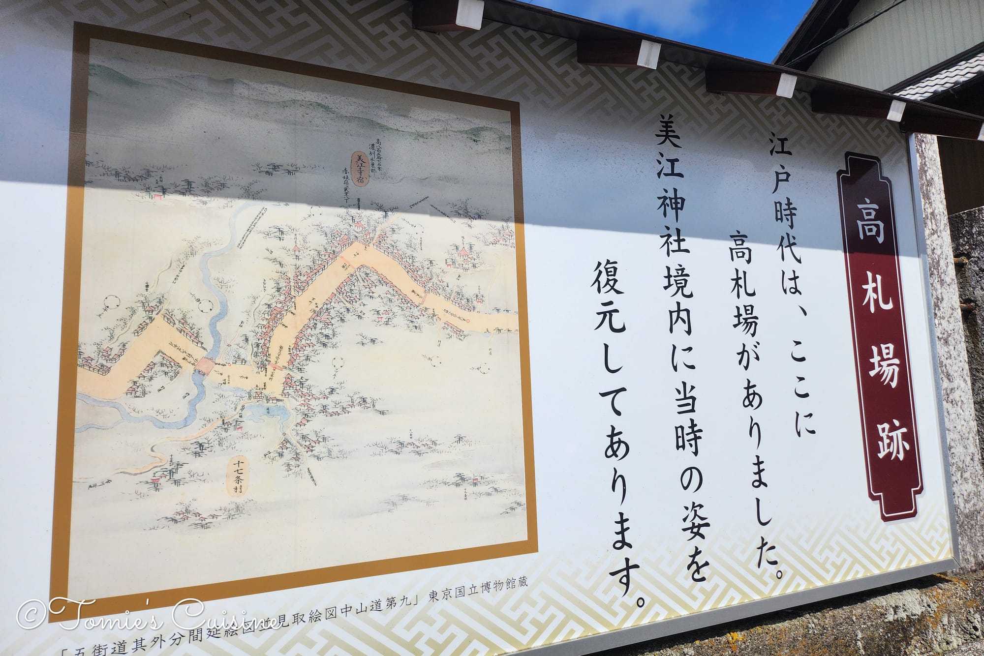
Walking towards Mie shrine (美江神社), we passed quite a few information boards, old maps, new maps, and explanatory panels about the post town's layout and history.
These signs help us a lot in understanding the area and how it used to be, and we can feel that the local authority cares about the history and has done its best to make it accessible.
Especially since once we got to Mie temple, we saw the same style of new boards as in the previous post-town in Gifu prefecture, written in both Japanese and English.
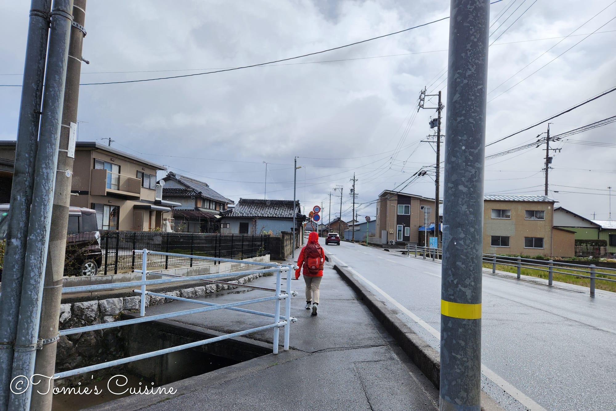
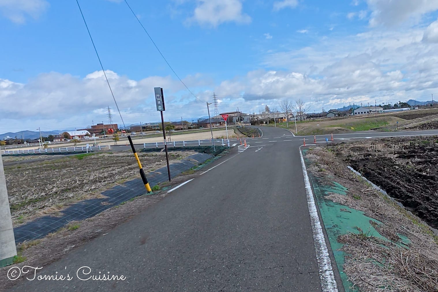
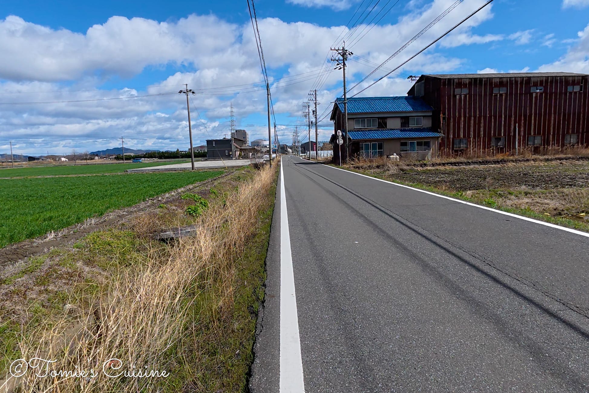
12:27 pm Going through the road by the fields without a pedestrian path
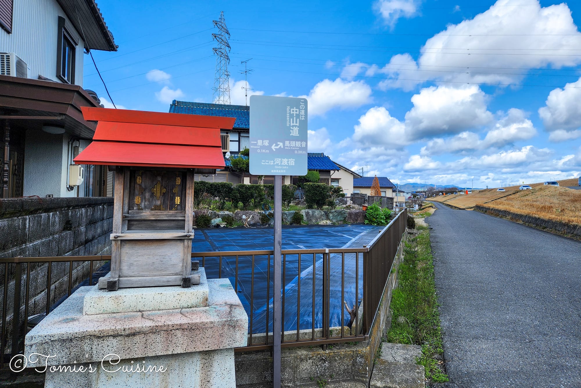
Godo post town sign with the explanation stone board.
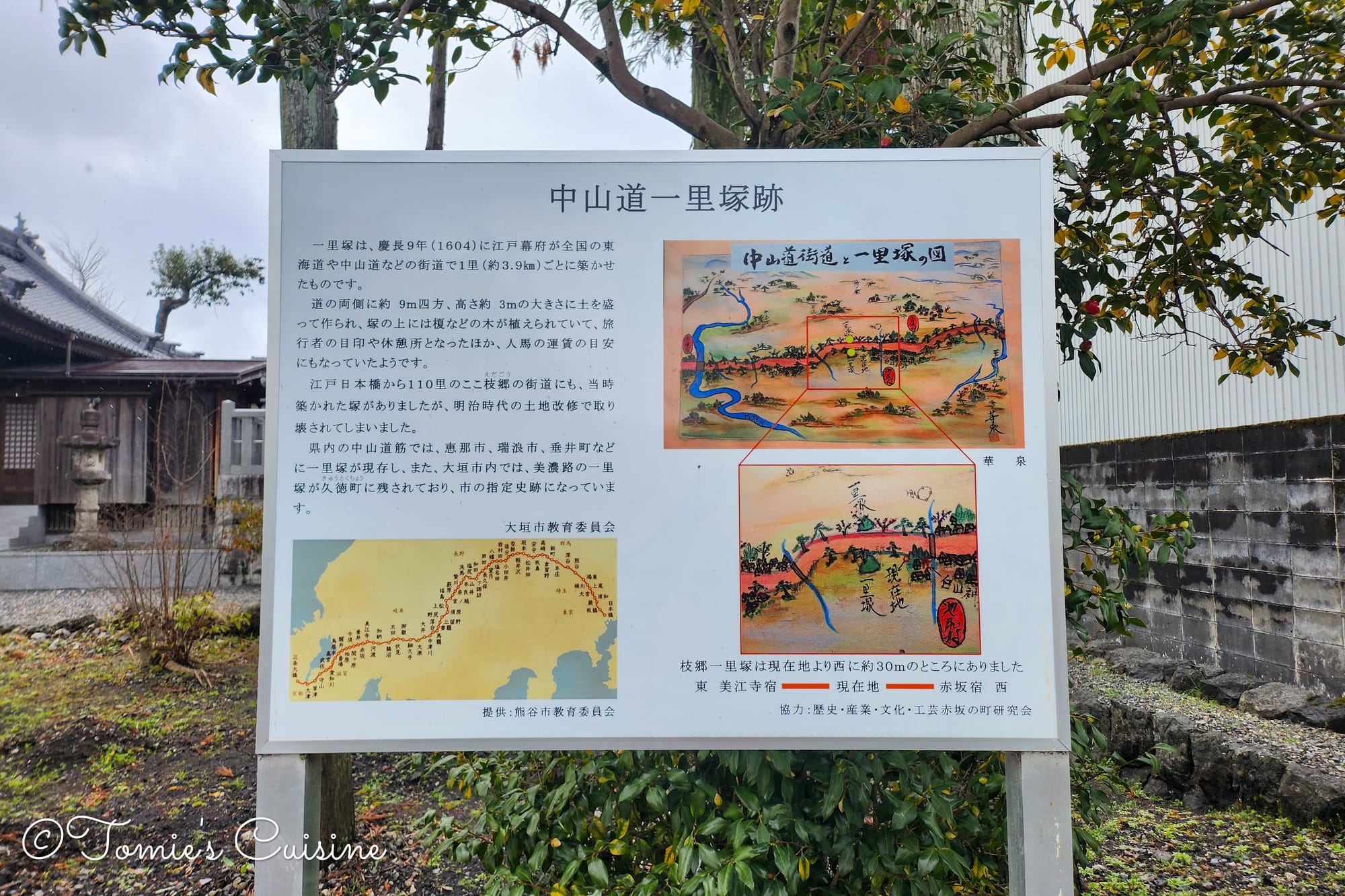
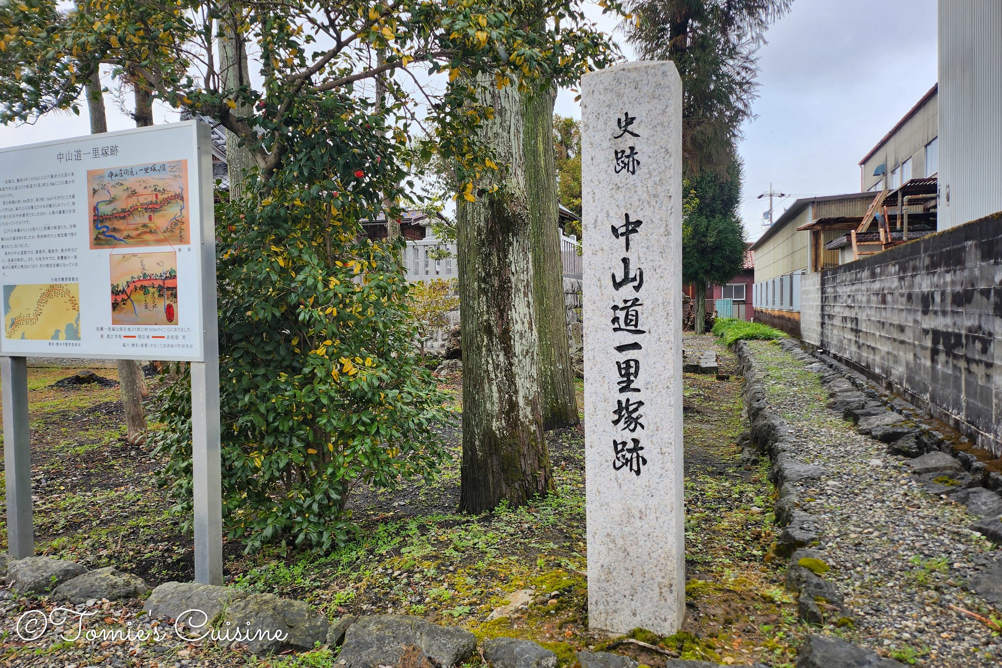
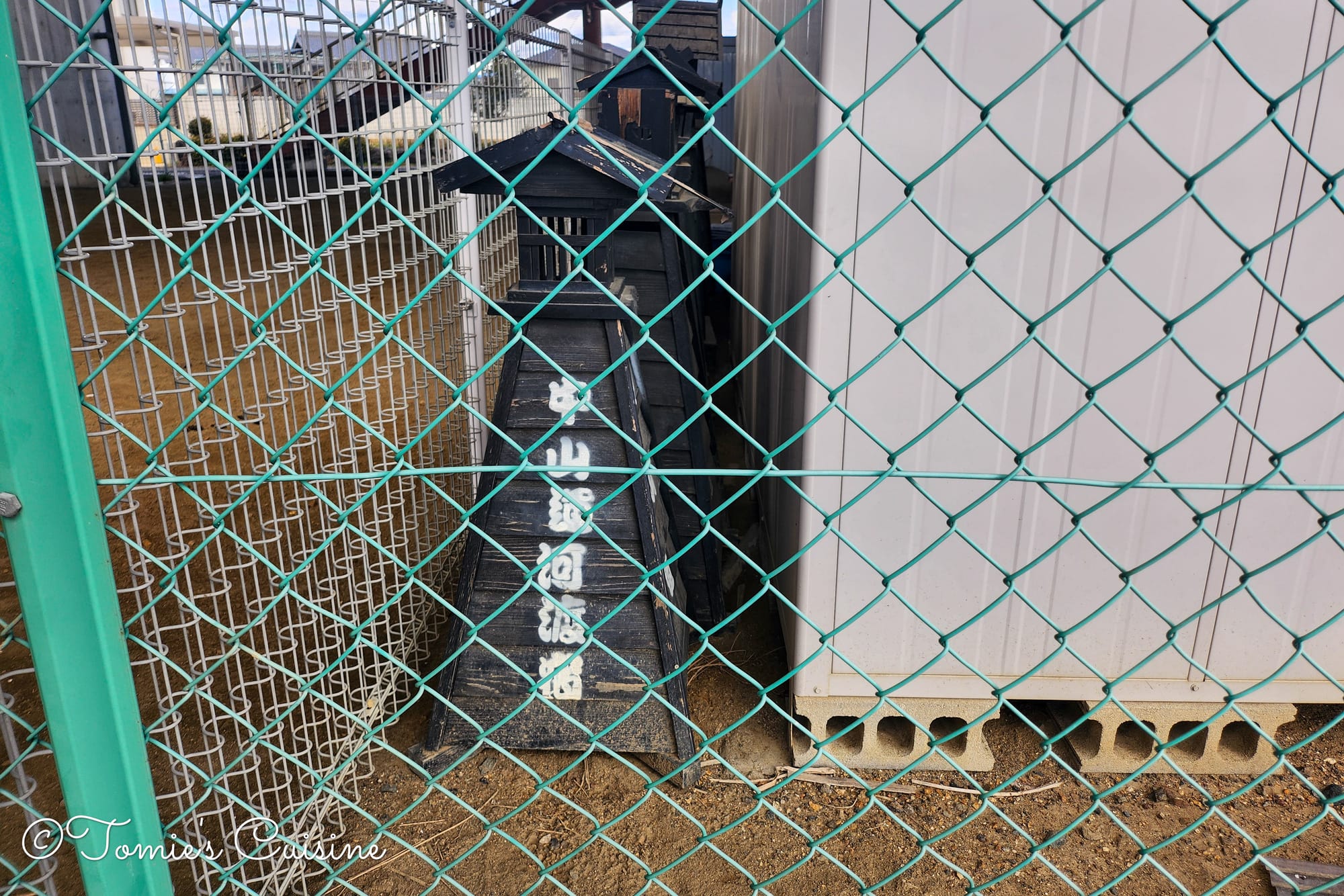
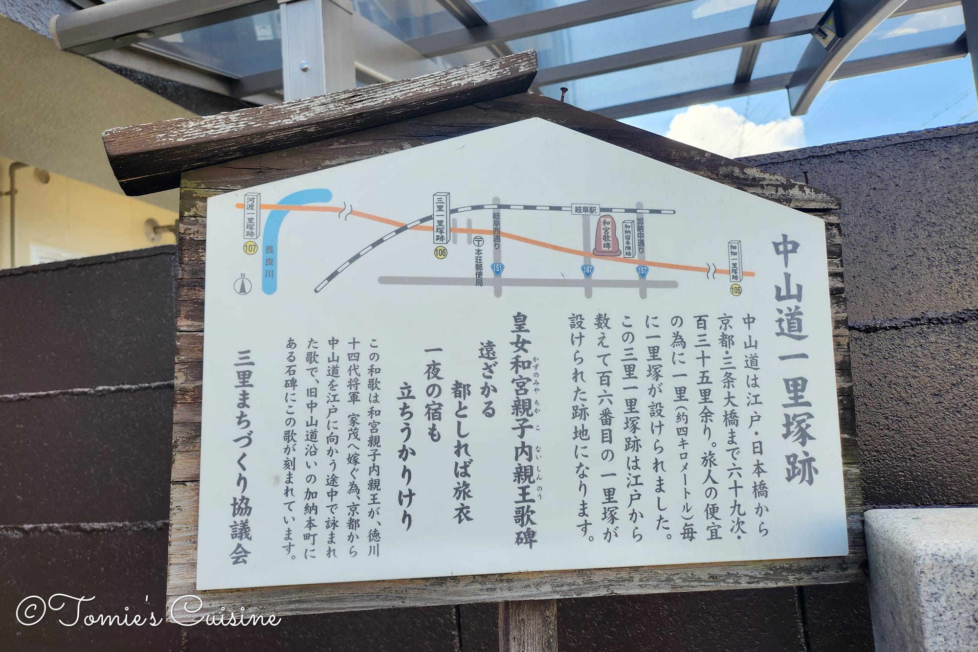
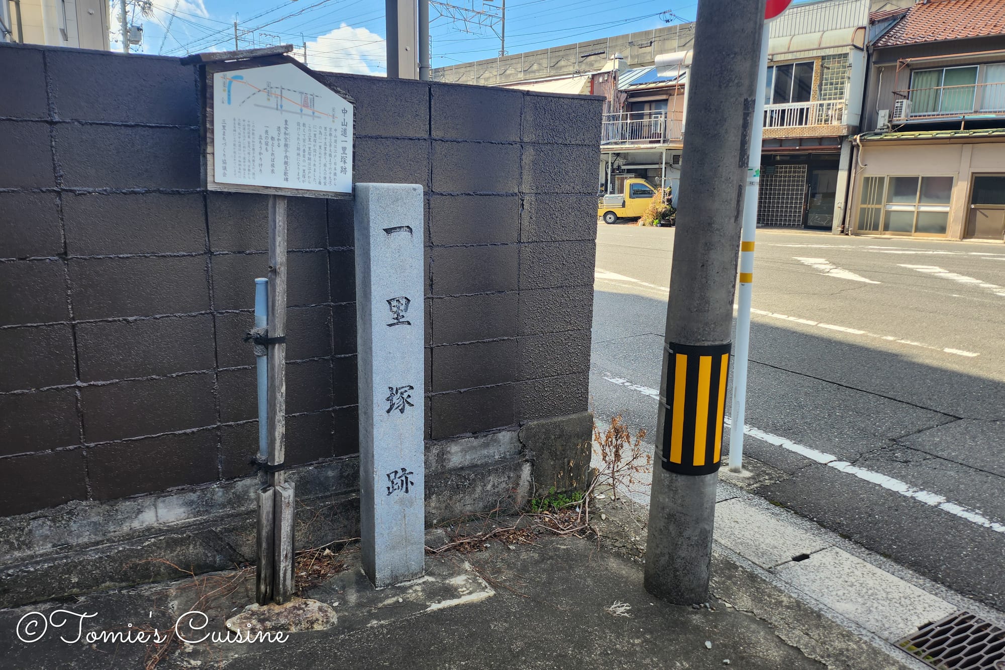
We nearly walked straight past it. The first sign for Godo post town was tucked between two houses, easy to miss against the surrounding streetscape. Once we found it, we also spotted the site of a former ichirizuka (一里塚). They are milestone mounds that once marked each ri (approximately 3.9 km) along the Nakasendo highway.
Despite its historical importance, Godo-juku was (and still is) remarkably small: just three districts (Higashi-machi, Naka-machi, Nishi-machi) stretching a total of only 330 metres. For a post town on one of Japan's great highways, that brevity is striking.
This is because the town’s urban development, as well as the flooding from the Nagara River, has resulted in most of the historical buildings being gone.
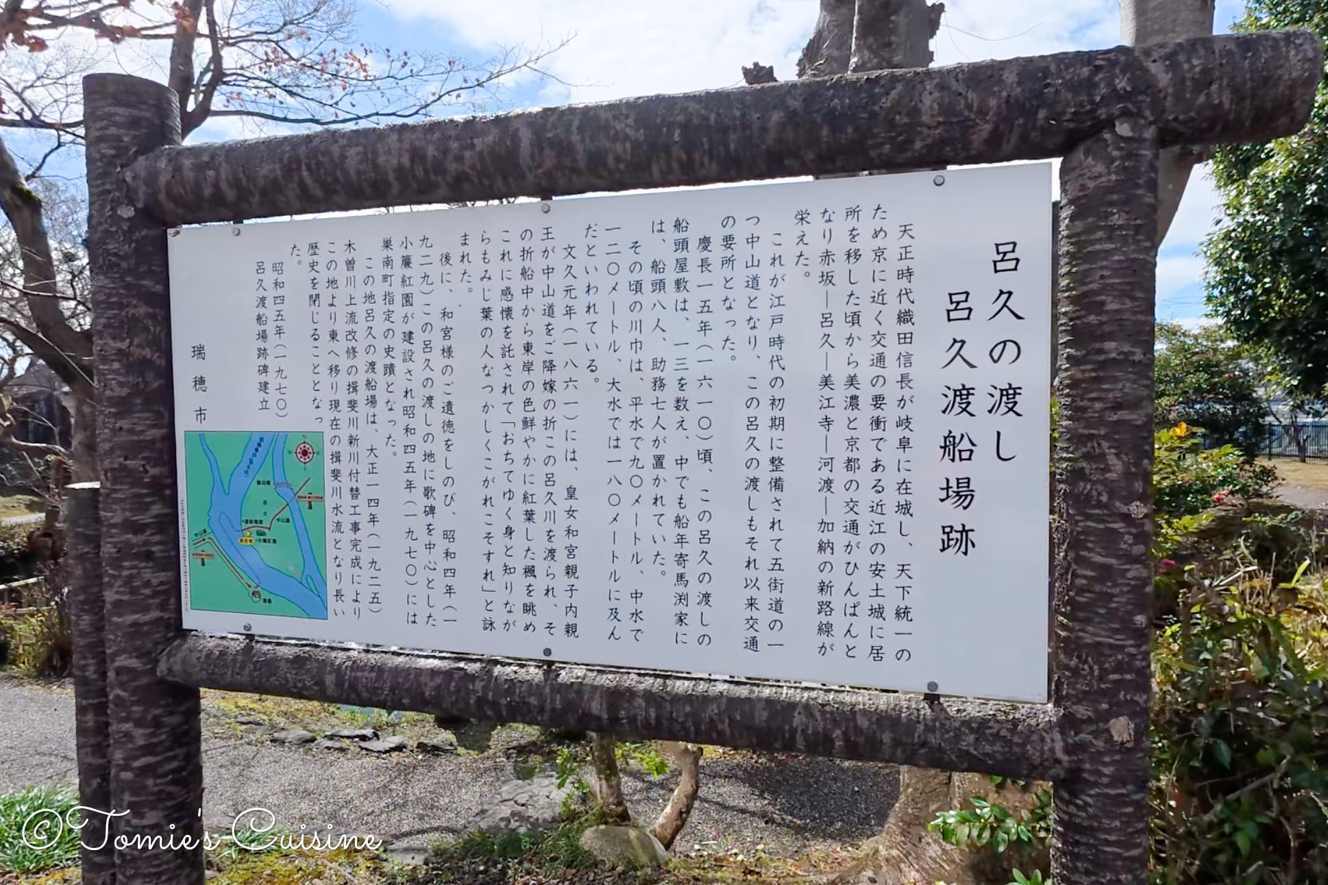
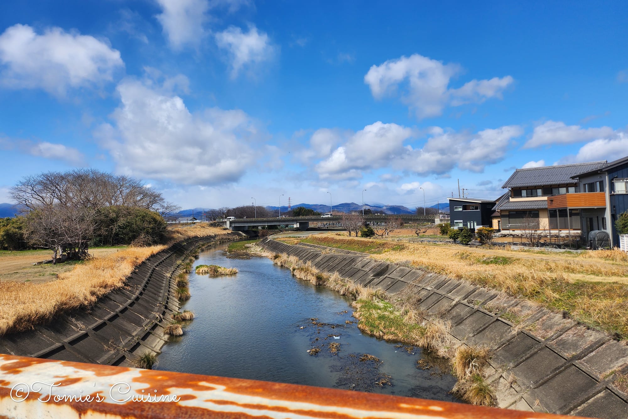
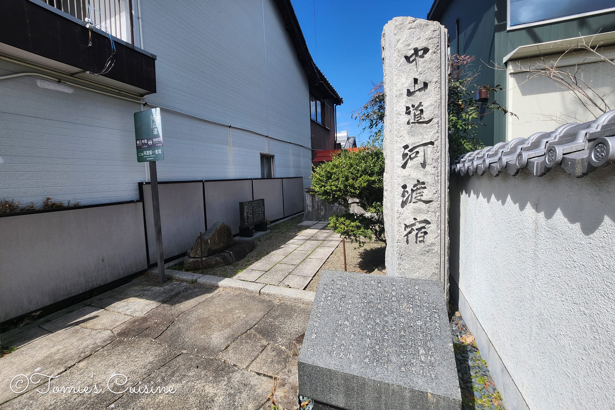
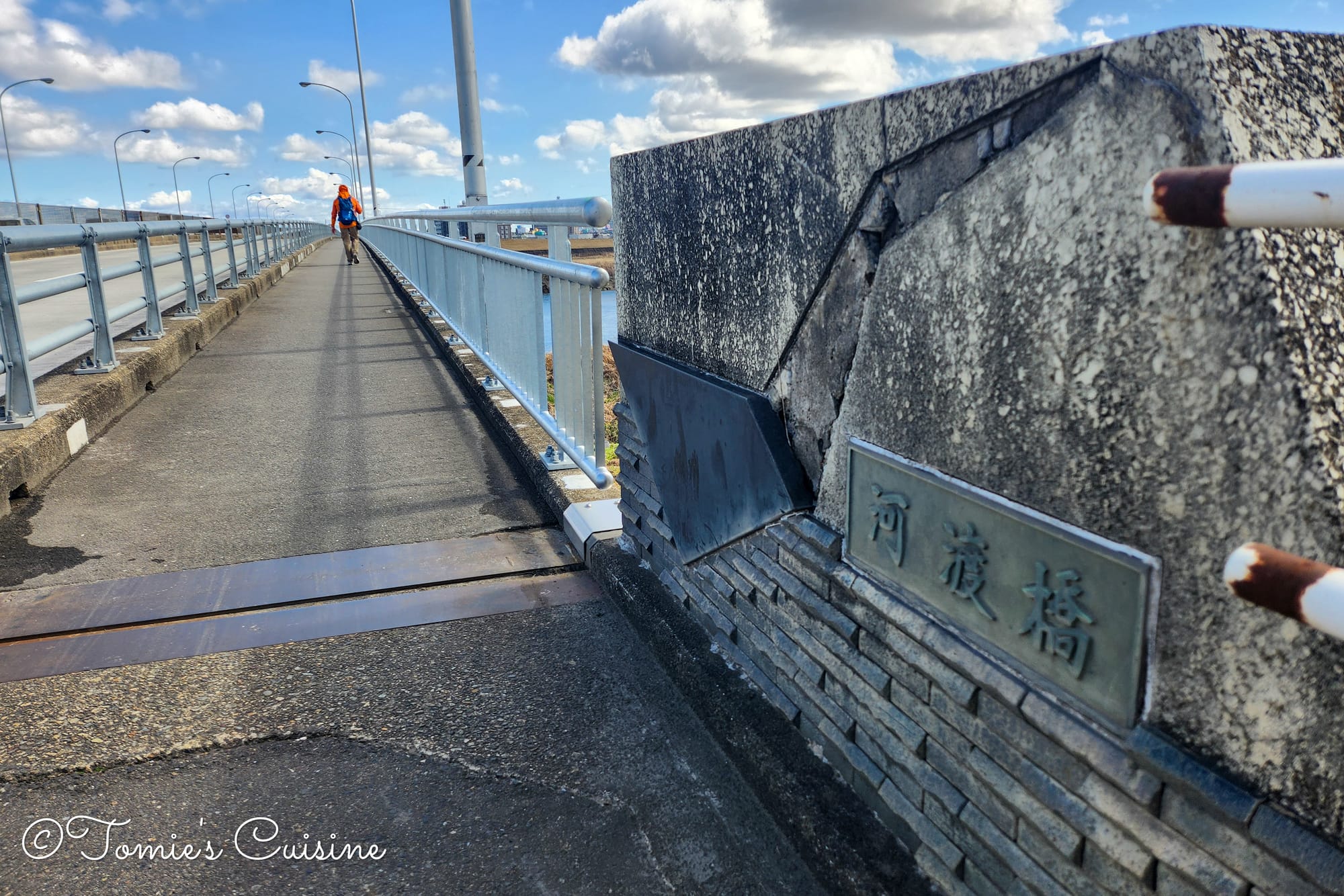
There was a ferry port called Nagara River crossing (河渡の渡し) until the Godo Bridge was built in 1881. Travellers couldn't cross on a bridge, so they relied on ferrymen to carry passengers and luggage across the strong current throughout the entire Edo period. During floods, the crossing could be halted completely, stranding travellers in the post town indefinitely.
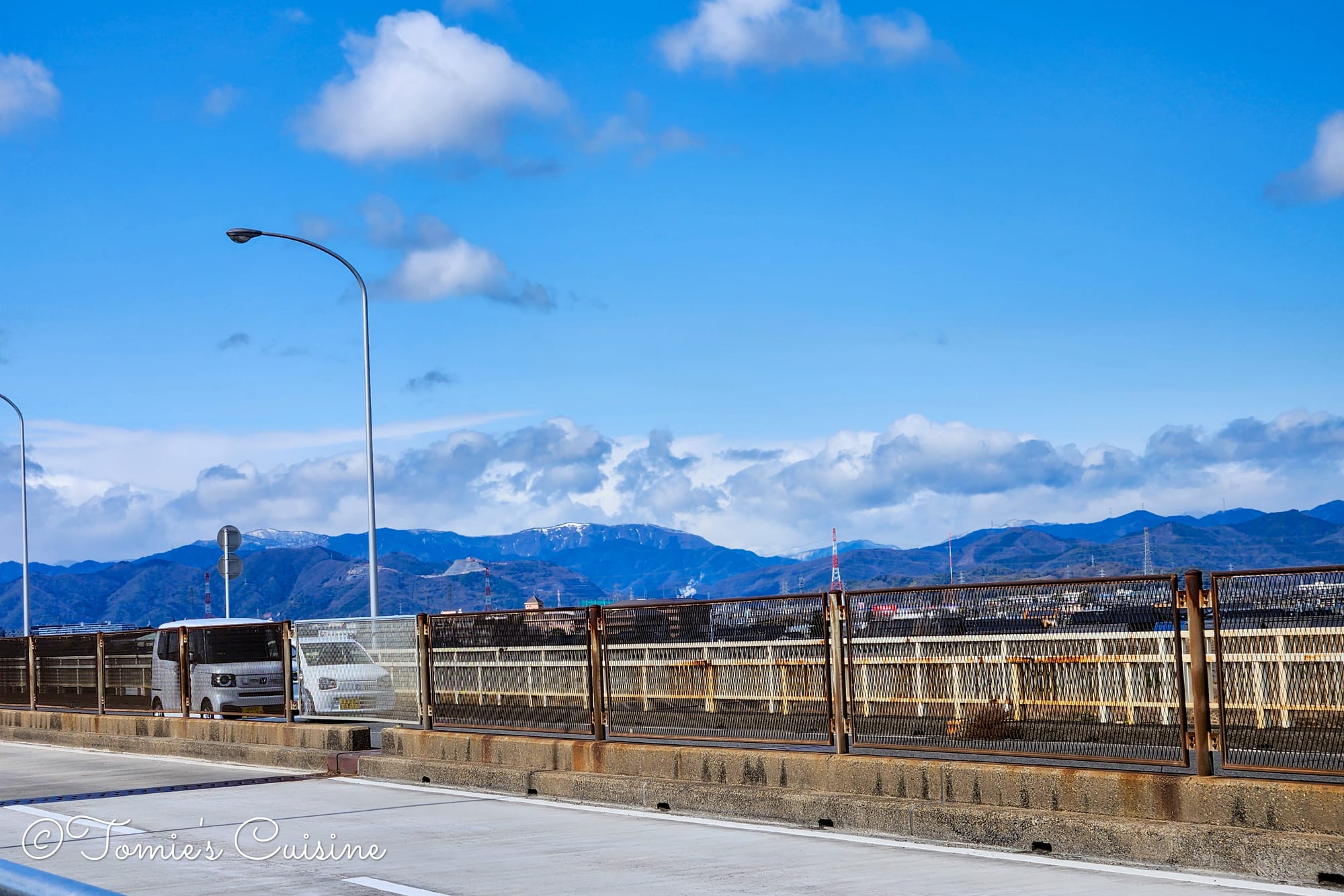
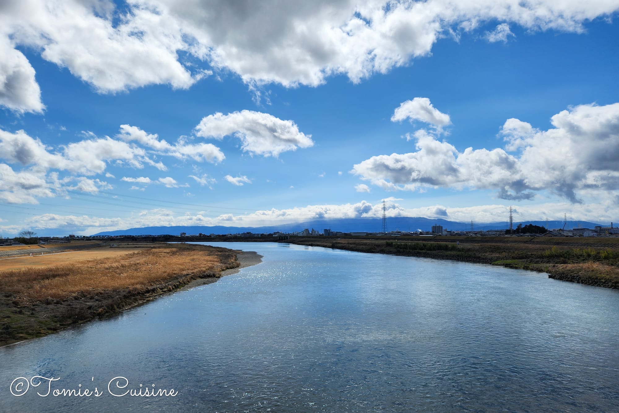
The mountain view from the Godo Bridge.
Nagara River (長良川)
The view of the Nagara River from the Godo bridge.
The Nagara River is one of the three major clear streams in Japan, and in its upper reaches around Gujo City, sweetfish is one of the best products.
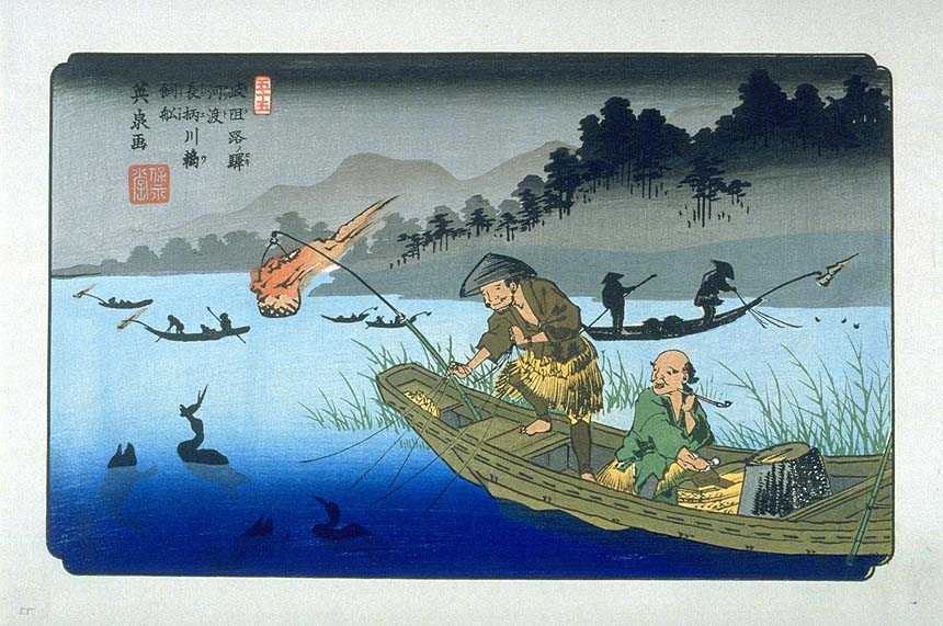
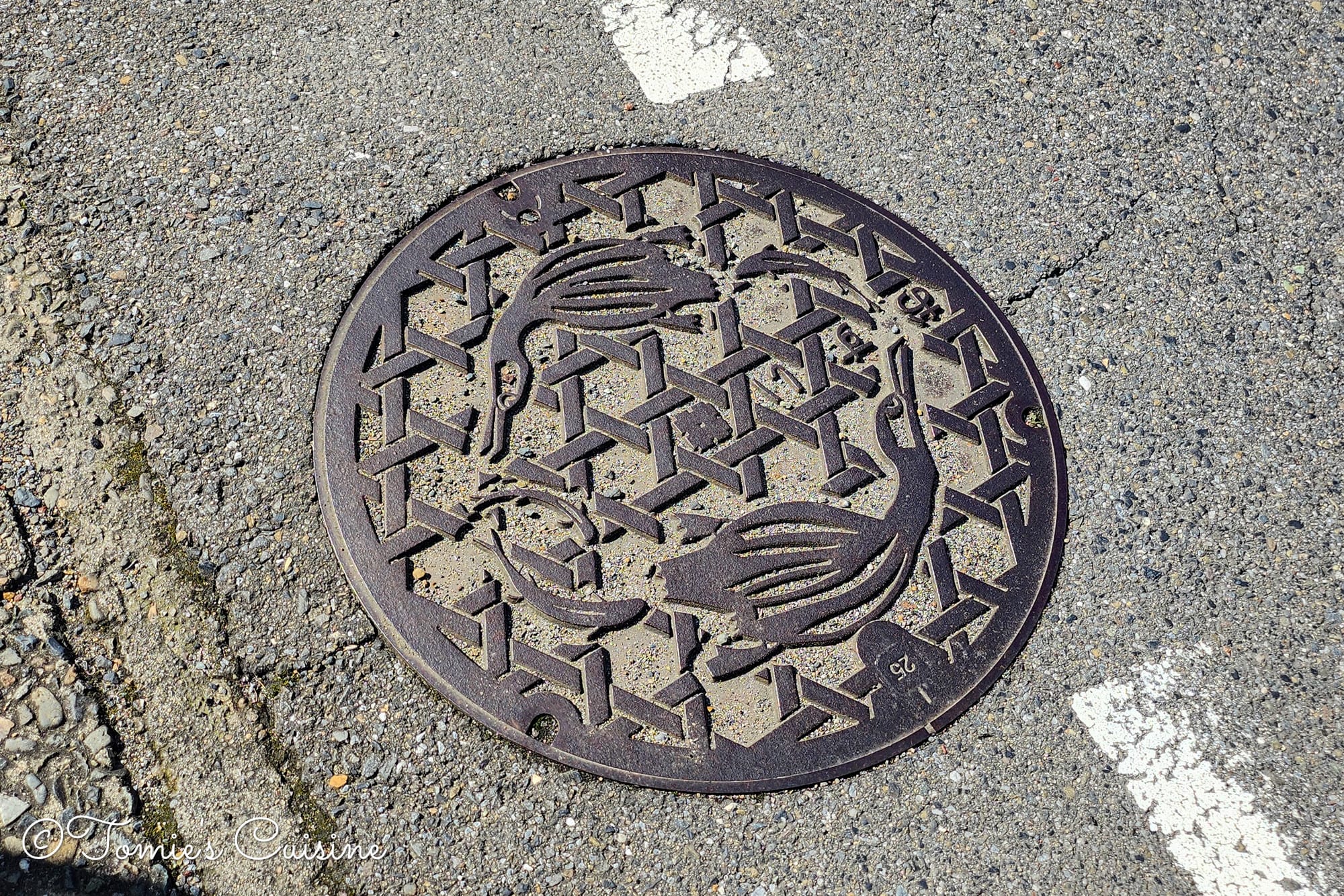
The Ukiyo-e of Godo post town, drawn by Eisen, depicts the Ukai (Comorant fisherman) on the Nagara River (left), and the utility hole lid we found nearby also had the Comorant design.
There is a traditional fishing technique called the Ukai (鵜飼: Cormorant fishing), which has been practised for over 1,300 years. Trained cormorants catch the fish on behalf of their handlers, who manage them from wooden boats lit by fire lanterns at night. If you are planning a trip to Gifu, the Ukai season runs from 11 May to 15 October (except when the river level is high and during the harvest moon). It is one of the most distinctive features of the prefecture.
After crossing the Nagara River, a short walk along the riverbank leads to the Kagashima area.
The Kagashima area once faced Kagashima-minato, a river port on the Nagara River.
A little off the Nakasendo route (but worth knowing about if you have time) is Osshin-ji Temple (乙津寺), which is more than 1,200 years old (!), and linked to local Kagashima legend and history. We had to stick to our schedule this time, but it’s on our list for next time.
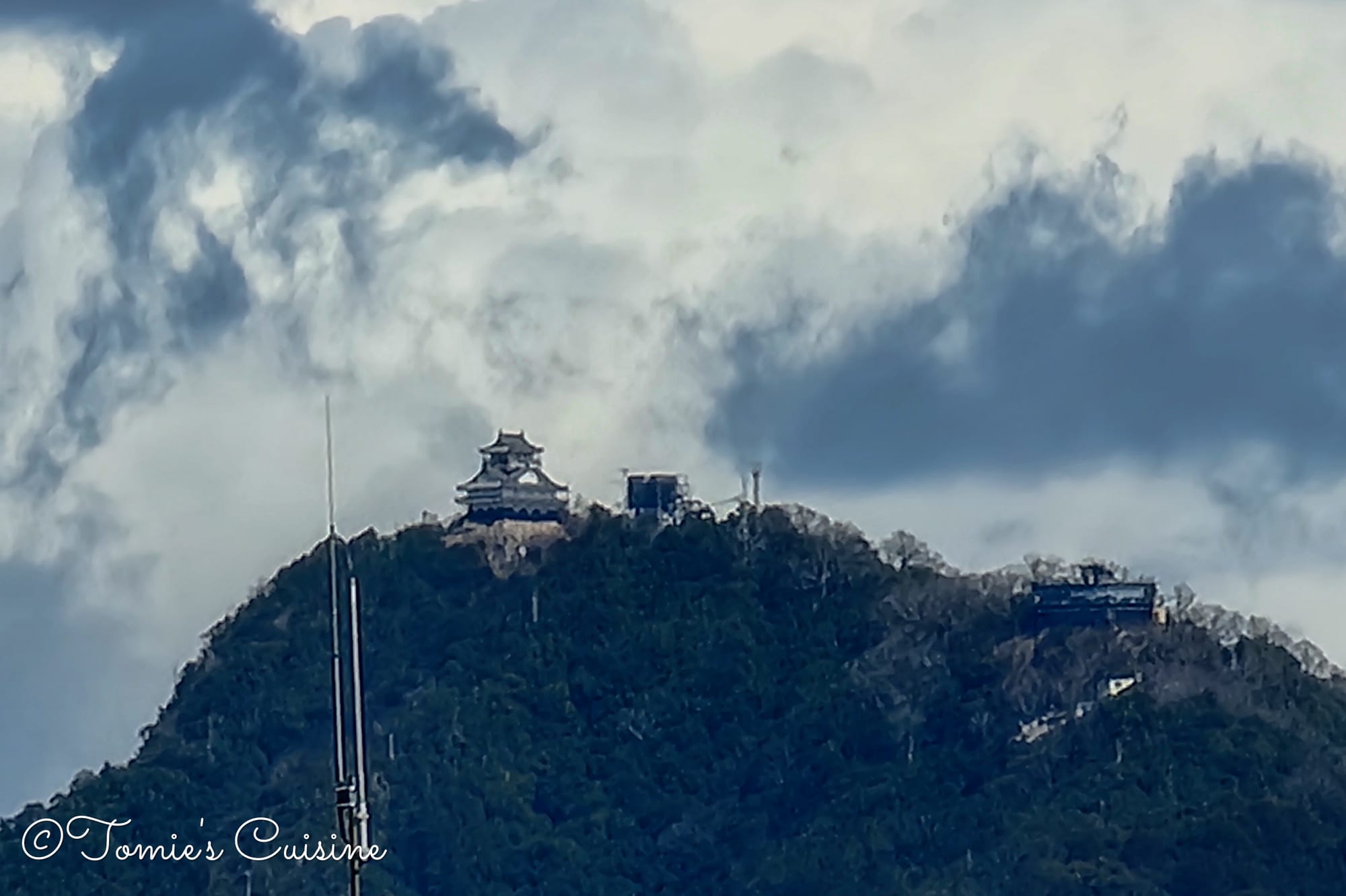
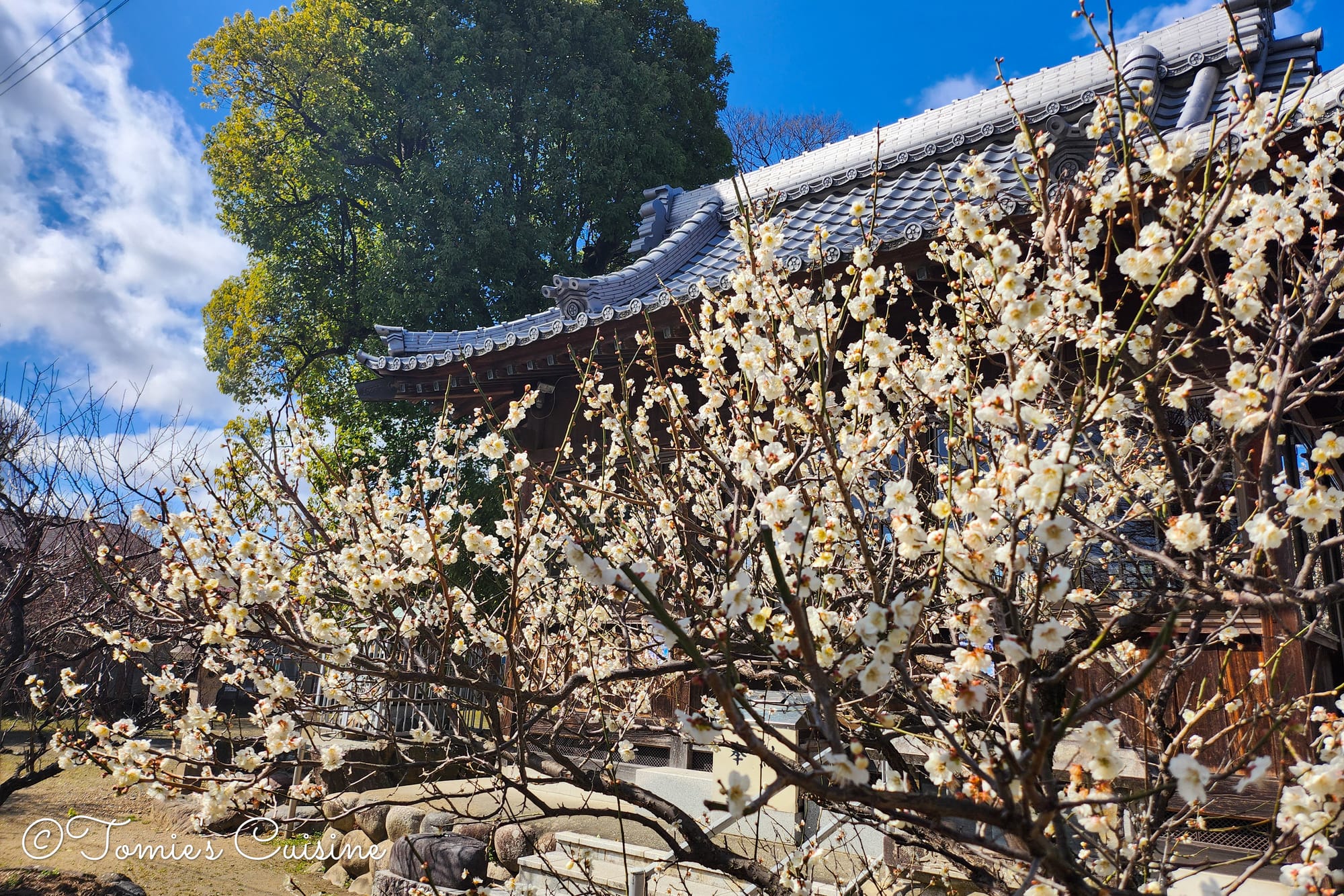
We could see the Gifu Castle from the Nagara River.
The Kitano Shrine in the Kagashima area in Gifu City. Plum blossoms were blooming.
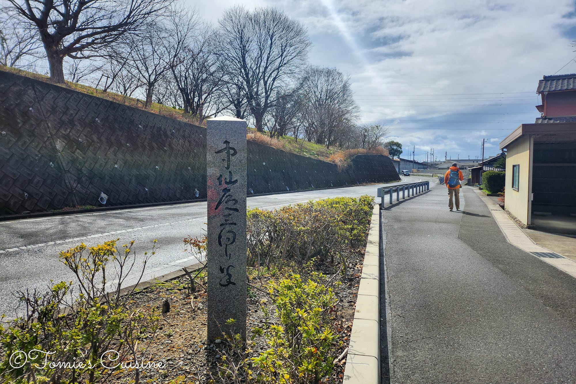
An Ichirizuka ruin on the side of the street to Kano post town.
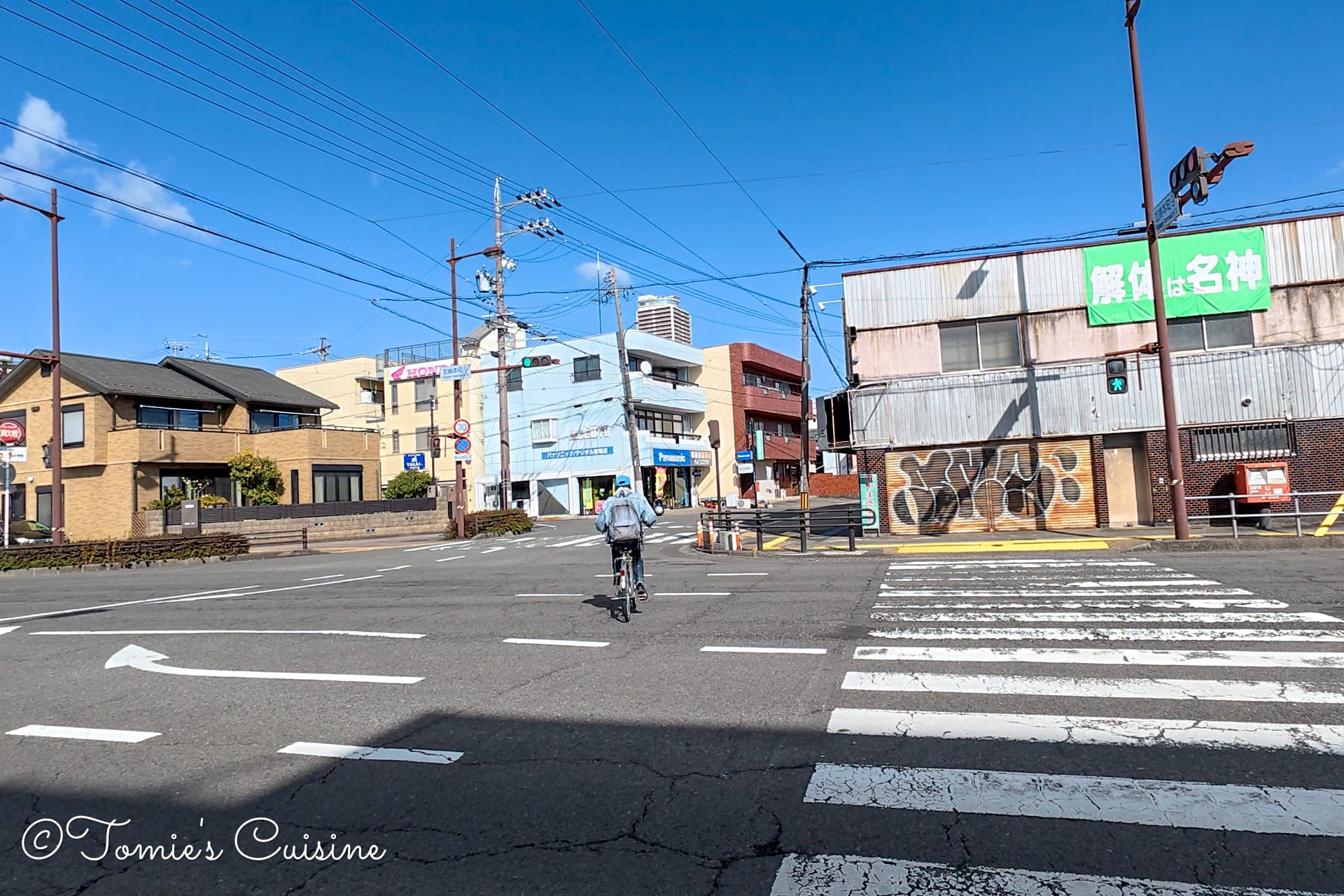
Nakasendo sign, and the big crosswalk to Kano post town.
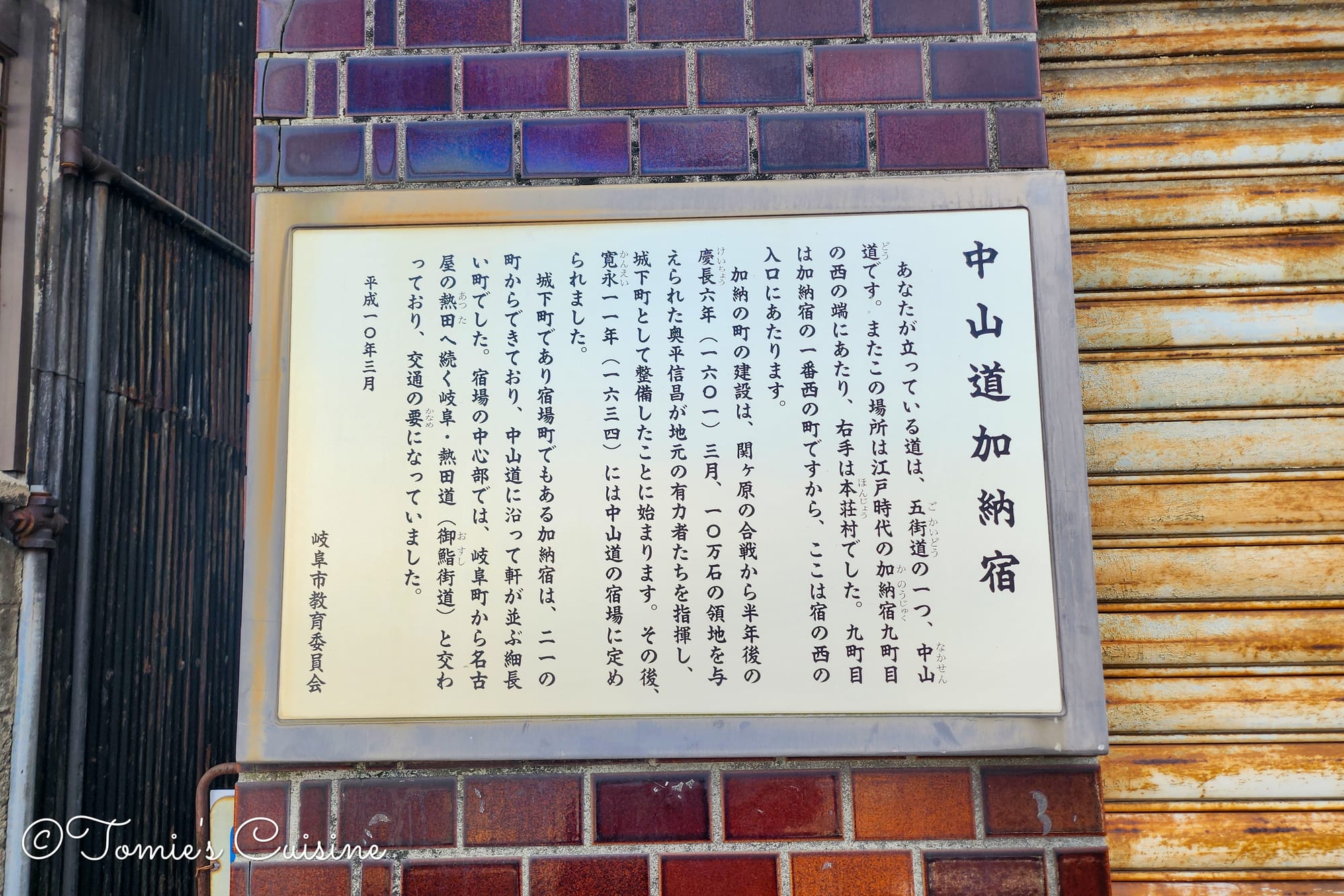
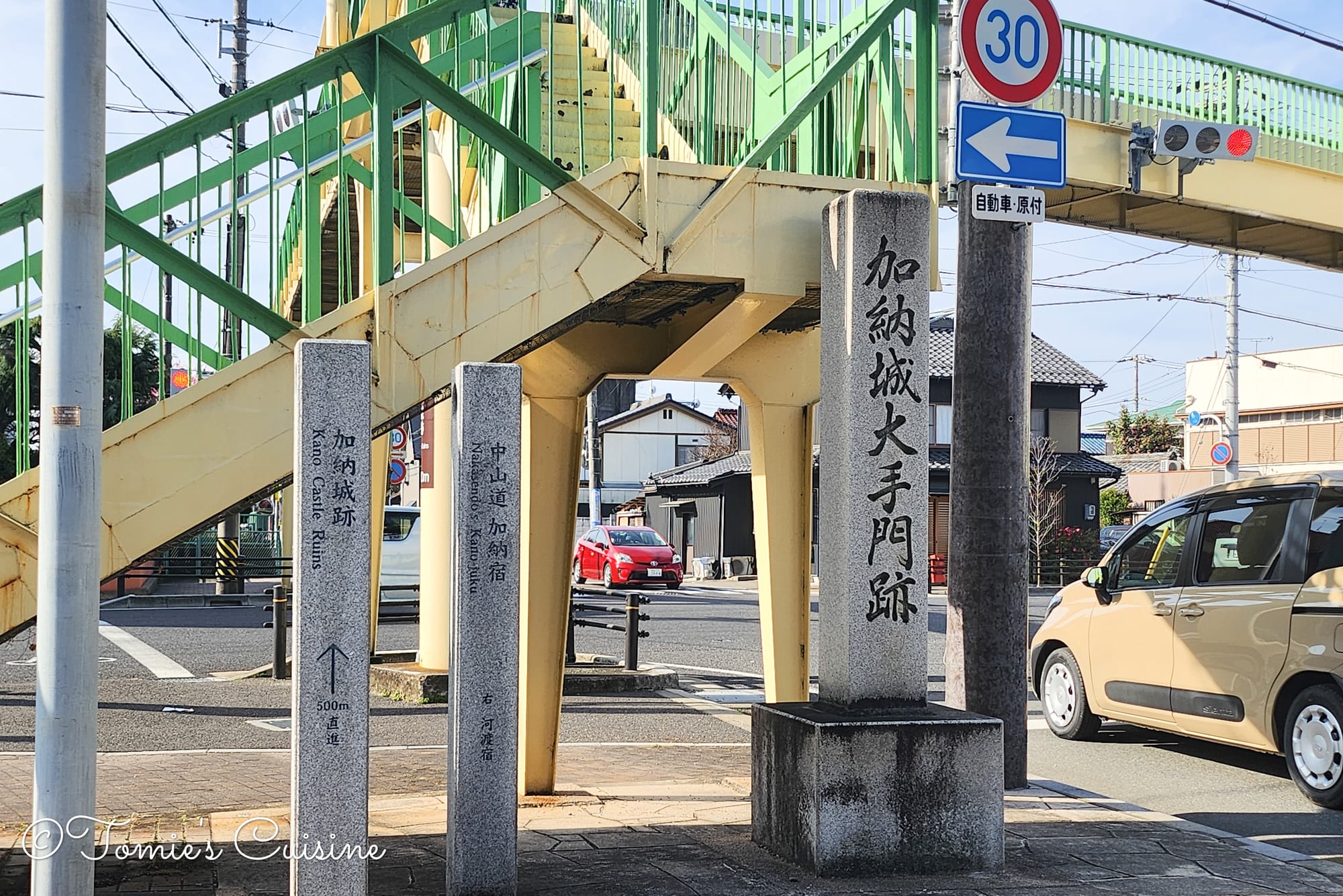
Kano was both a post town and a castle town, which gave it an unusual status along the Nakasendo. Kano Castle (加納城) was built in 1601 by Tokugawa Ieyasu, exactly one year after his decisive victory at the Battle of Sekigahara, which we crossed on Day 4. The castle was a deliberate statement of control over the Mino region, and its construction reflected the political moment: Ieyasu consolidating power before formally establishing the Edo Shogunate in 1603. From the ruins of the castle's main enclosure (honmaru), now designated as a National Historic Site, you can see Gifu Castle atop Mt. Kinka in the distance.
Walking through Kano, keep an eye out for the masugata: the deliberate crooked road layouts that characterise castle towns. These defensive designs introduced sharp turns and dead-ends to slow enemy forces if the town were ever attacked. In a post-town context, they create a pleasantly disorienting walk, with narrow lanes that open unexpectedly into wider streets.
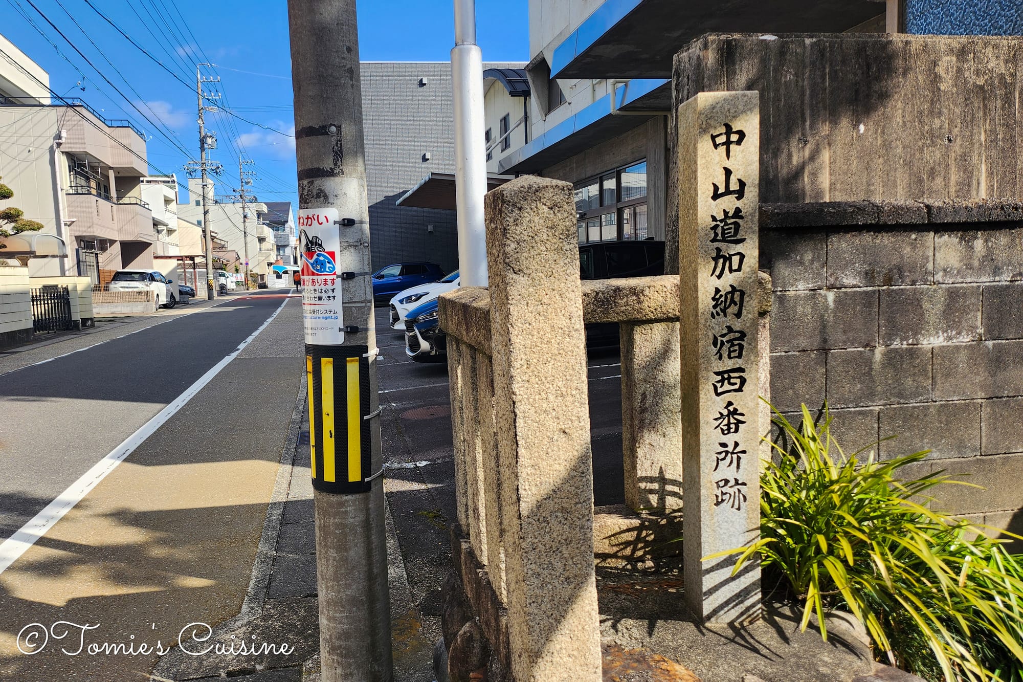
Several old-style road markers remain throughout the town, hinting at the scale and importance Kano once held along the highway.
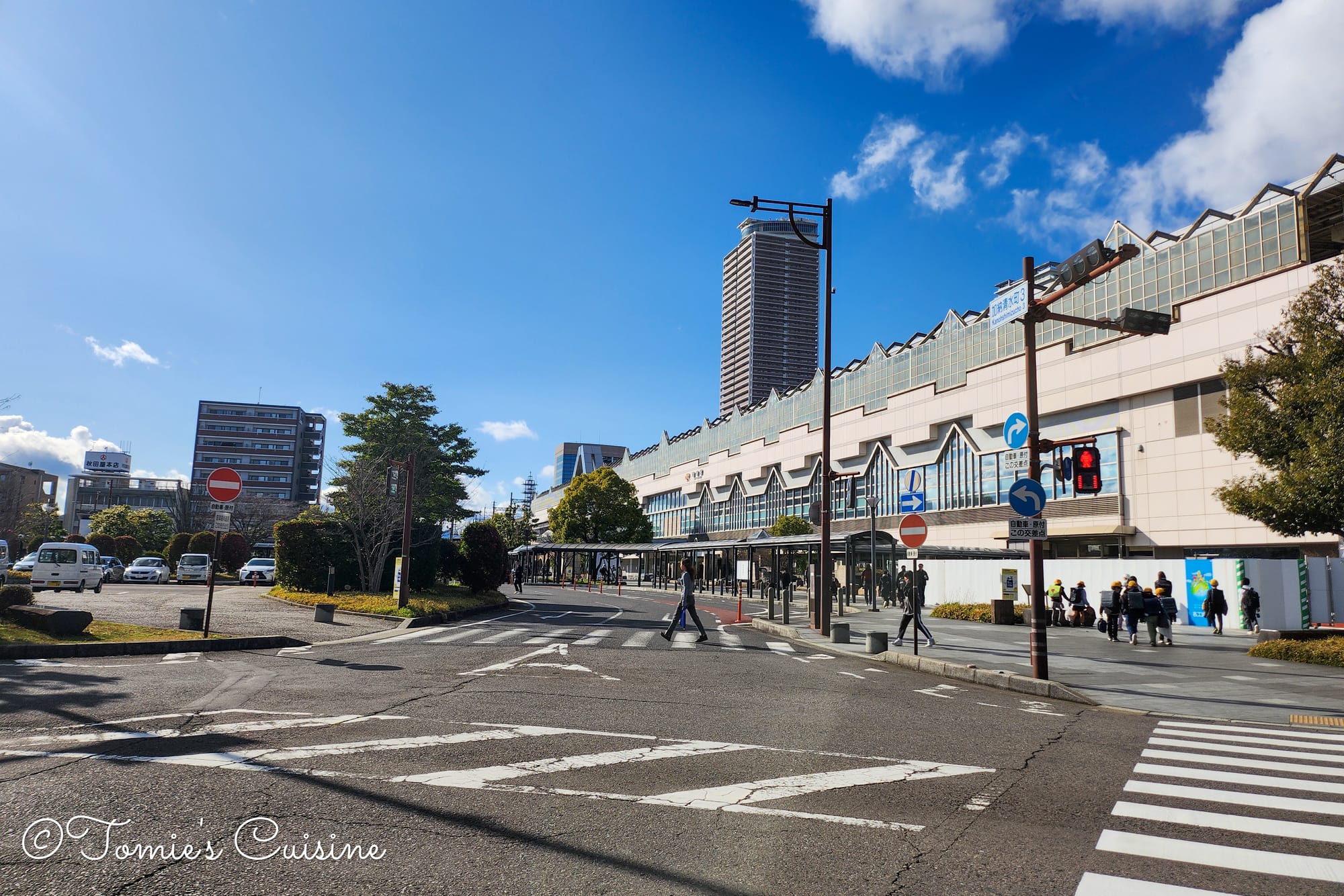
We walked from Kanou post town to Gifu station to take a train back to Ogaki. (Took only 7 minutes!)
We saw this Shimizu greenery park on the way back to Gifu Station from Kano post town. The board on the right is showing the list of creatures living in the park.
From Kano, we continued on foot to Gifu Station and took the train back to Ogaki, another seven-minute ride, another day neatly closed by the same line.
On the way to Gifu Station, there was a nature reserve area to protect natural habitats. It was great to see such activities in the city to help preserve the greenery.
Back at the hotel, we did a grocery run and picked up sushi, sashimi, and instant miso soup for a quiet dinner in the room.
Day 5 was shorter in distance than the first three days, but it was far from quiet. The emotional weight of Ozu Koen and Princess Kazu's poem, the Hiroshige connection at Mieji Bridge, and the sheer historical density of Kano made it one of the more memorable days on the trail so far.
On Day 6, we return to Kano and walk towards Ota post town. There is a cool discovery ahead, and a conversation with some local people we won't forget.
To ensure you don't miss any part of this Nakasendo adventure report,subscribe to our free newsletter today. You’ll also unlock our free, offline track covering the entire Nakasendo for our subscribers, so you know exactly where to go if you visit Japan! If you have any questions or would like to see early photos of Nakasendo, feel free to visit our Instagram, Pinterest, or Facebook page. We’re happy to answer any inquiries!
This post is for subscribers only
Sign up now to read the post and get access to the full library of posts for subscribers only.