
By Hitomi and Kevin from Tomie's Cuisine. We walked it, Kyoto to Tokyo, in spring 2025.
£5 until the last chapter is out.
The complete field guide, all 21 GPX tracks, and every place we stayed — today.
Plans for 3 days in the Kiso Valley · 7 days · all 19 days
Instant download · Apple Pay, card and more · Charged in your local currency · 30-day money-back
Free. No spam. Unsubscribe in one click, any time.
What's included
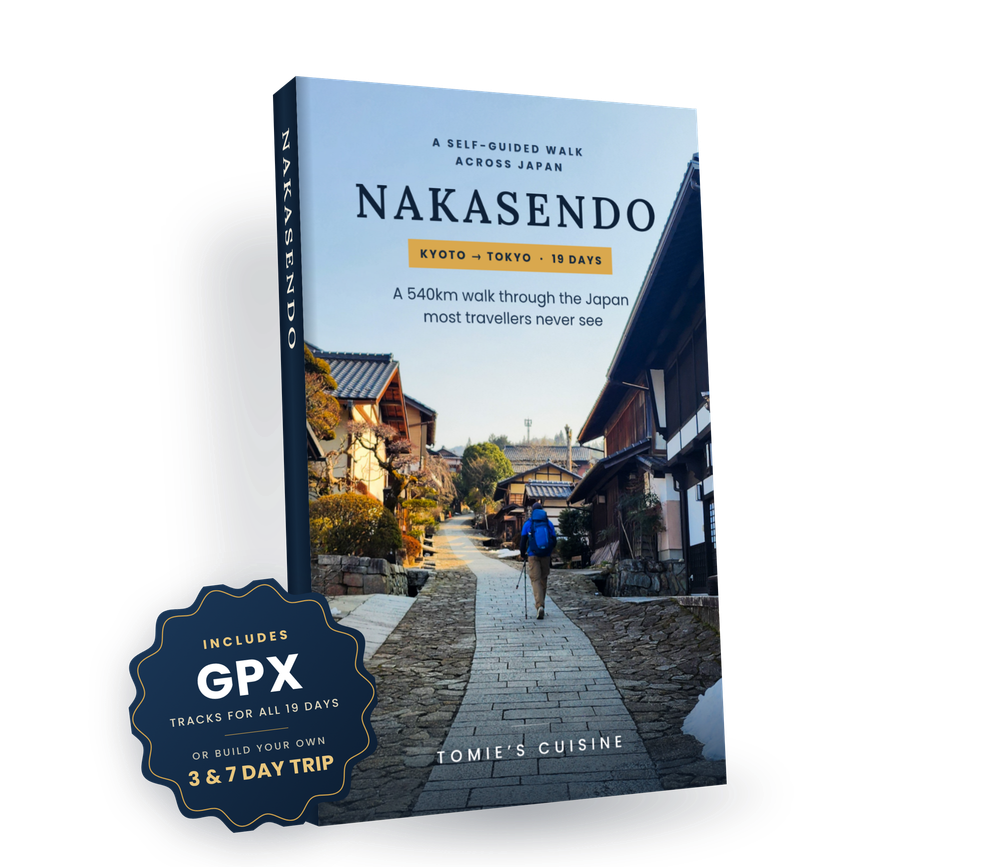
Days 1–8 written. Days 9–19 free to you as they're published. You get the full accommodation guide and every GPX track now, more than 500 pages worth of illustrated guide — plus an email with the download link the moment each new day goes live.
Look inside


The hardest part of the Nakasendo isn't the walking. It's knowing which path to take, where to sleep and how to get a taxi when there's no bus. We walked all 19 days, Kyoto to Tokyo, and put everything we wished we'd known into one field guide, with a GPX track for every day.
Over 500 pages. Read the free preview first →
Photos, maps and an elevation profile for every day. See the full contents →
A sample from the stays guide
Hotel Gran M's Kyoto (Sanjo Ohashi)
The Nakasendo is Japan's historic mountain highway — a historic alternative to the shinkansen that takes you through 69 ancient post towns, mountain passes, and rural villages that most tourists never see.
You do not need to walk all 540km to experience the Nakasendo. The Kiso Valley section — passing through Magome, Tsumago, and the mountain villages of Nagano — is one of the most scenic and historically intact stretches of trail in Japan, and accessible as a multi-day trip from Tokyo or Nagoya. Our field guide, accommodation guide and GPX files cover this section in full.
The complete 19-day route
Common questions
Think of it like Google Maps, but for hiking. Instead of directions to a restaurant, it shows you the exact path we walked. Every turn, every post town, every shortcut. Open it in any free hiking app like Garmin, AllTrails, or Komoot, or your GPS watch, and a line appears on your map. You can also load it in Google Maps in the "My Maps" section, and it will appear in the Google Maps app. Your phone shows you where you are on that path in real time, so you always know if you're on track. No signal needed!
Your smartphone will do! Download a free app like AllTrails or Komoot, open the file we send you, and the route appears. If you have a Garmin watch or similar GPS device, it works there too. Alternatively, you can use a standalone GPS device if you have one and load it there as well; there is no limit on how many devices you can load it on.
Yes, you can edit these on your app of choice. If you decide to walk less, visit a different museum, etc., you can add these points to your map.
In total, there are 19 places to stay, as on Day 5 and Day 6, we stayed at the same hotel. However, we provided plenty of alternative hotels, should one not be available to book, or you decided to change the route.
Yes, it covers the entire journey from Kyoto to Tokyo, so even if you're not exactly following the Nakasendo, it'll provide some great options to discover the Japanese countryside.
No, this guide is solely based on our own research. We may potentially earn a commission via Opodo if there's an eligible booking, but that's it.
Yes, some are cash only, but we've clearly labelled them and given you the price in advance, so you can prepare for it.
If the field guide doesn't help you plan your walk, email nakasendo@tomiescuisine.co.uk within 30 days of buying and we'll refund you in full.
Questions? Email nakasendo@tomiescuisine.co.uk
About the journey
The Nakasendo (中山道) was one of Japan's five great highways of the Edo period, threading through mountains and valleys between Tokyo and Kyoto. Unlike the coastal Tokaido, it stayed inland — quieter, more rugged, more beautiful.
We walked it in March and April 2025, starting at dawn from Kyoto's Sanjo Ohashi bridge and finishing 19 days later in Tokyo. Along the way we crossed seven prefectures, stood on the Battle of Sekigahara battlefield, sheltered from mountain rain in 400-year-old post towns, and ate more ichigo daifuku than we care to admit.
This site is where we document all of it — practically, honestly, and with enough detail that you can do it yourself. Browse all published days on Tomie's Cuisine.
Get notified when 9–19 publish and grab your free preview of the field guide
Free subscribers get each daily report + GPX track as we publish them. No catch.
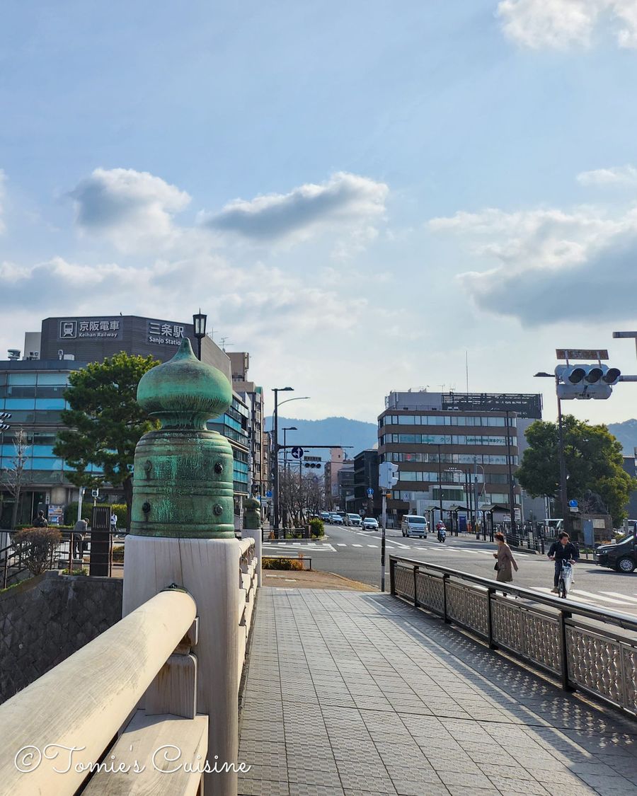
Day 1 · Kyoto → Kusatsu
Sanjo Ohashi to Kusatsu next to Lake Biwa
~24 km · Sunny, 18°C, lows of 7°C · For the next 19 days, we're trading the everyday for an epic journey on Japan's old highway. The road awaits, and we are ready to walk, eat, and breathe in every moment
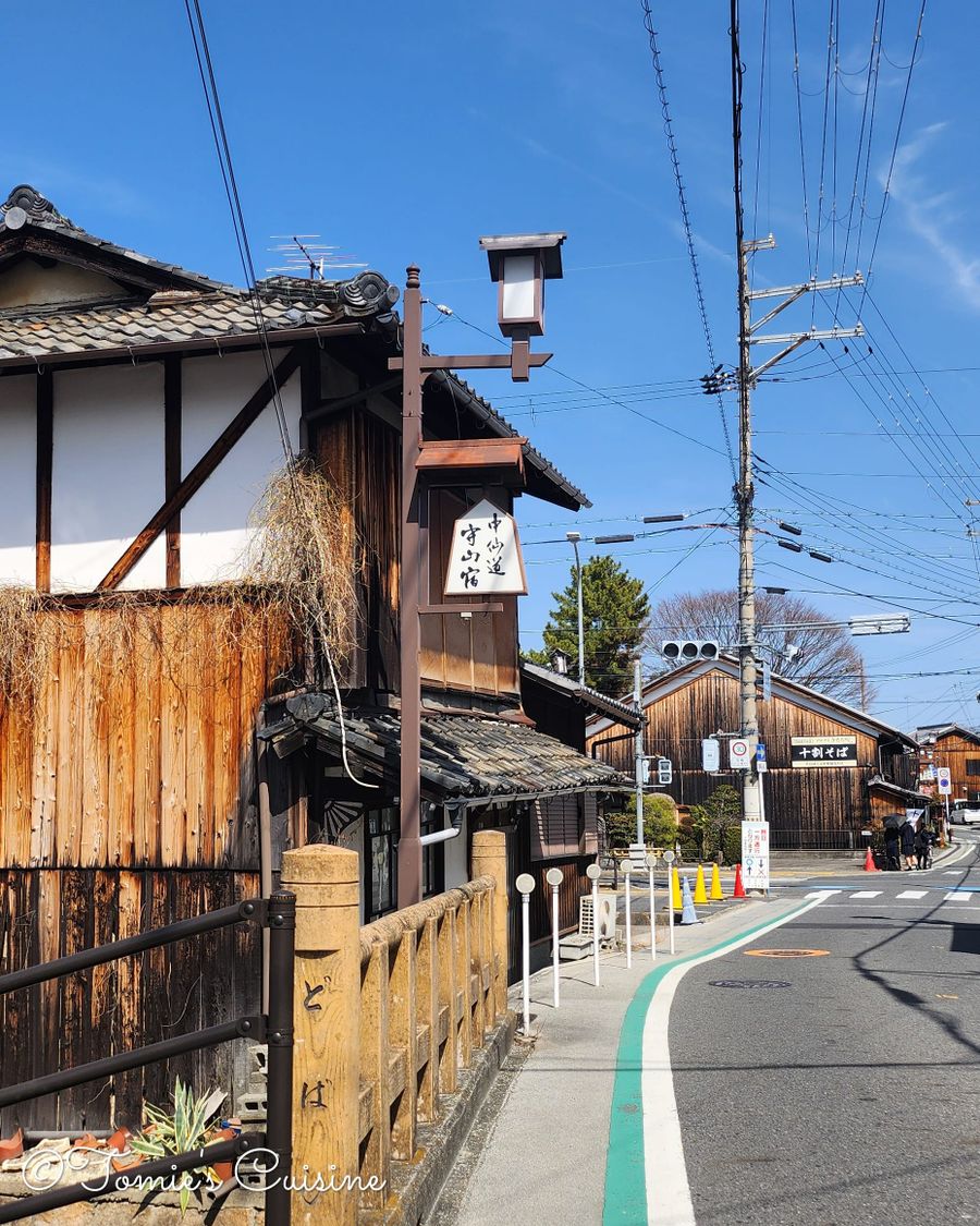
Day 2 · Kusatsu → Echigawa
Walking through Shiga's post towns
A 33km trek through historic post towns, where you'll discover unexpected delights like a Ukiyo-e workshop, experience heartwarming moments, and take in stunning views.

Day 3 · Echigawa → Kashiwabara
Hiking through the post towns of Takamiya, Toriimoto, Banba, and Samegai.
Despite the rain, we saw the birthplace of Goushu Ondo, the inn where the Meiji Emperor stayed, the setting of the anime K-On!, and enjoyed a home-cooked lunch.

Day 4 · Kashiwabara → Akasaka
Crossing into Gifu at Sekigahara
Explore the "Village of Bedtime Stories," the historic Battle of Sekigahara, and the "Carriage-Turning Slope." From rainy-day sushi to local sweets, join us as we walk 21km through legendary post towns and ancient Japanese folklore.
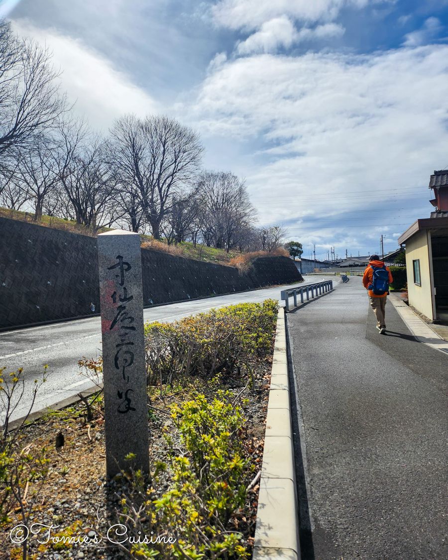
Day 5 · Akasaka → Kano
Crossing the quiet plains of Mino
From Akasaka across the Nagara River at Godo to Kano-juku, the largest post station in Gifu prefecture, where a castle town and a distant castle-mountain view complete the story begun at Sekigahara.
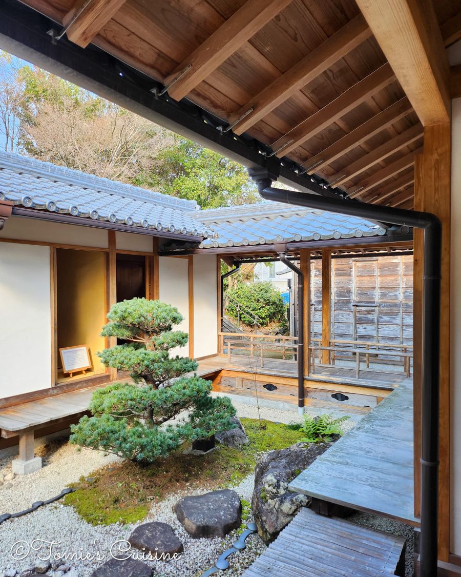
Day 6 · Kano → Ota
Gifu's only castle town to the ferry crossing
From Kano-juku, through the restored post town of Unuma, to riverside Ota, where Hiroshige once painted travellers waiting for the ferry across the mighty Kiso River.
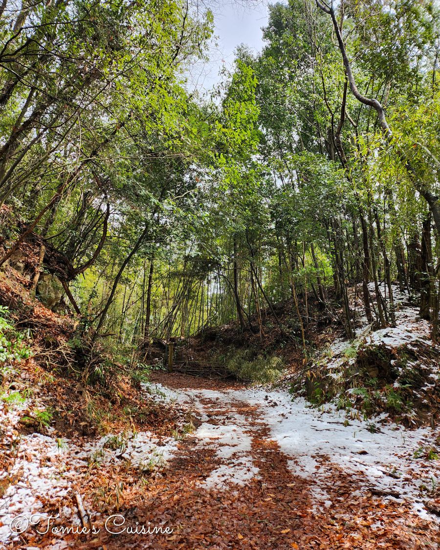
Day 7 · Ota → Hosokute
Where the Nakasendo turns wild
Snow in mid-March, bear warning signs, and one of our best breakfasts yet — forest paths, stone pavements and the hunt for a bear bell through three post towns, deep in the Gifu mountains.

Day 8 · Hosokute → Ooi
Over Biwa Pass to Ooi
A 730-metre stone-paved mountain pass, a headless jizo statue with a centuries-old grudge story, and a dash to Hiroshige's ukiyo-e museum before closing.
Free preview · Field guide
The story, free, as we publish it, one day at a time. Or everything you need to plan the whole walk, today, offline: the complete field guide, every GPX track and the full accommodation guide, in one go.
Free
£0
The essentials
£5 one-off · until the last chapter is out
£10 £5
The Nakasendo Field Guide
Days 1–8 written. Days 9–19 free to you as they're published — you'll get an email the moment each new day goes live.
Get the field guide — £5From the journal
Get a free preview of the field guide and the GPX tracks as we publish the articles on Tomie's Cuisine, or get the complete field guide, the full accommodation guide and every track today at the early-reader price — £5.
Your inbox is safe. We send one email per new post — no daily newsletters, no third-party sharing, no upsells in your first email. Unsubscribe in one click, any time.
or
Get the field guide — £5