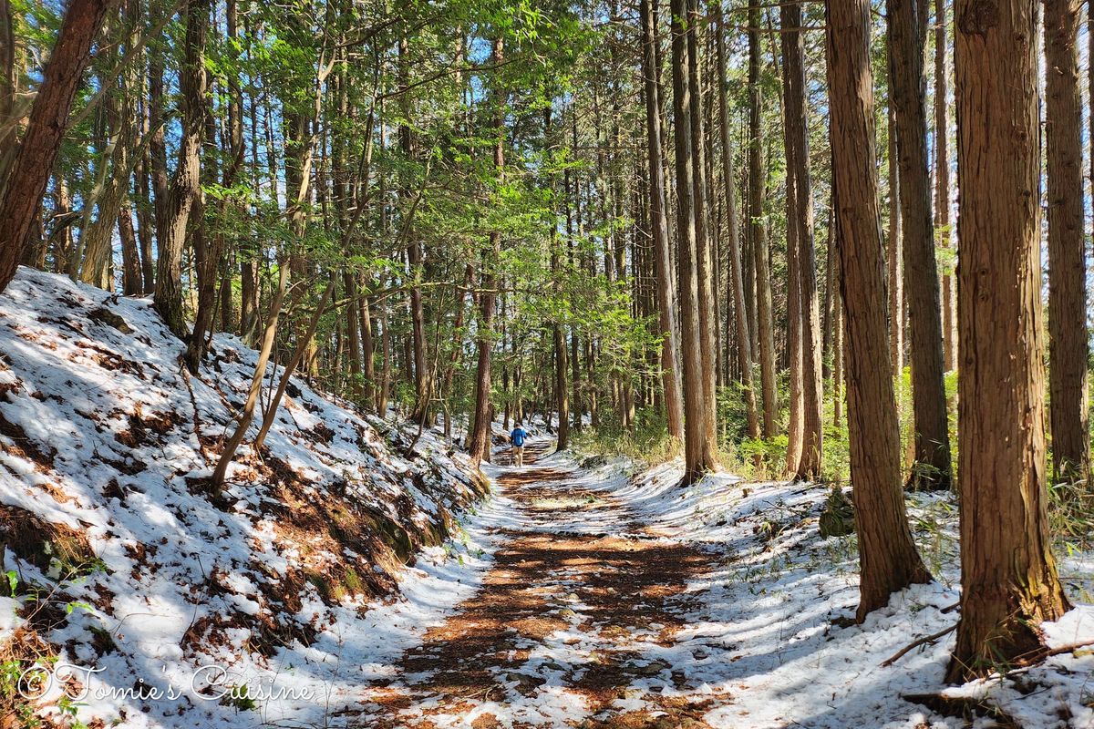
This bundle contains 19 GPX tracks covering the complete Nakasendo trail between Kyoto and Tokyo, as we walked it in early Spring 2025. Each track was manually handcrafted ahead of our trip and tested in the field during our spring trip. We’ve documented our diversions in post towns, rest stops, and local highlights on our blog.
Together, the 19 tracks cover approximately 540 km across seven prefectures — Kyoto, Shiga, Gifu, Nagano, Gunma, Saitama, and Tokyo — and pass through all 69 Nakasendo post stations. We've broken them down into 21 files, one for each day (except for day 19, where we created two tracks), and another covering the entire journey, in case you want to adjust the day split yourself.
What's in the Bundle
- 21 gpx files, one per day (named Nakasendo trip - day XX - YY.YY km), and another for the whole journey so you can adjust your trip to your speed.
- The PDF guide includes
- Usage instructions
- A day-by-day overview
- Google My Maps links
- Practical notes on timing, weather, and key highlights for each segment.
- Links to our blog when we have published the corresponding articles (we will update this PDF once we publish an article)
This post is for paying subscribers only
Sign up now and upgrade your account to read the post and get access to the full library of posts for paying subscribers only.
Sign up now
Already have an account? Sign in