Nakasendo Day 2/19: Kusatsu to Echigawa in Shiga Prefecture
Day 2 of our 19-day Nakasendo hike takes us from Kusatsu to Echigawa. Join us on this 33km trek through historic post towns, where you'll discover unexpected delights like a Ukiyo-e workshop, experience heartwarming moments, and take in stunning views.
The cities we'll visit today are Kusatsu, Moriyama, Musa, and Echigawa. To view our trip breakdown, please refer to our introduction post here.
Subscribe to Tomie's Cuisine
And get access to our offline GPX tracks that you can use on your own devices, and much more!
No spam. Unsubscribe anytime.
The Journey's Start
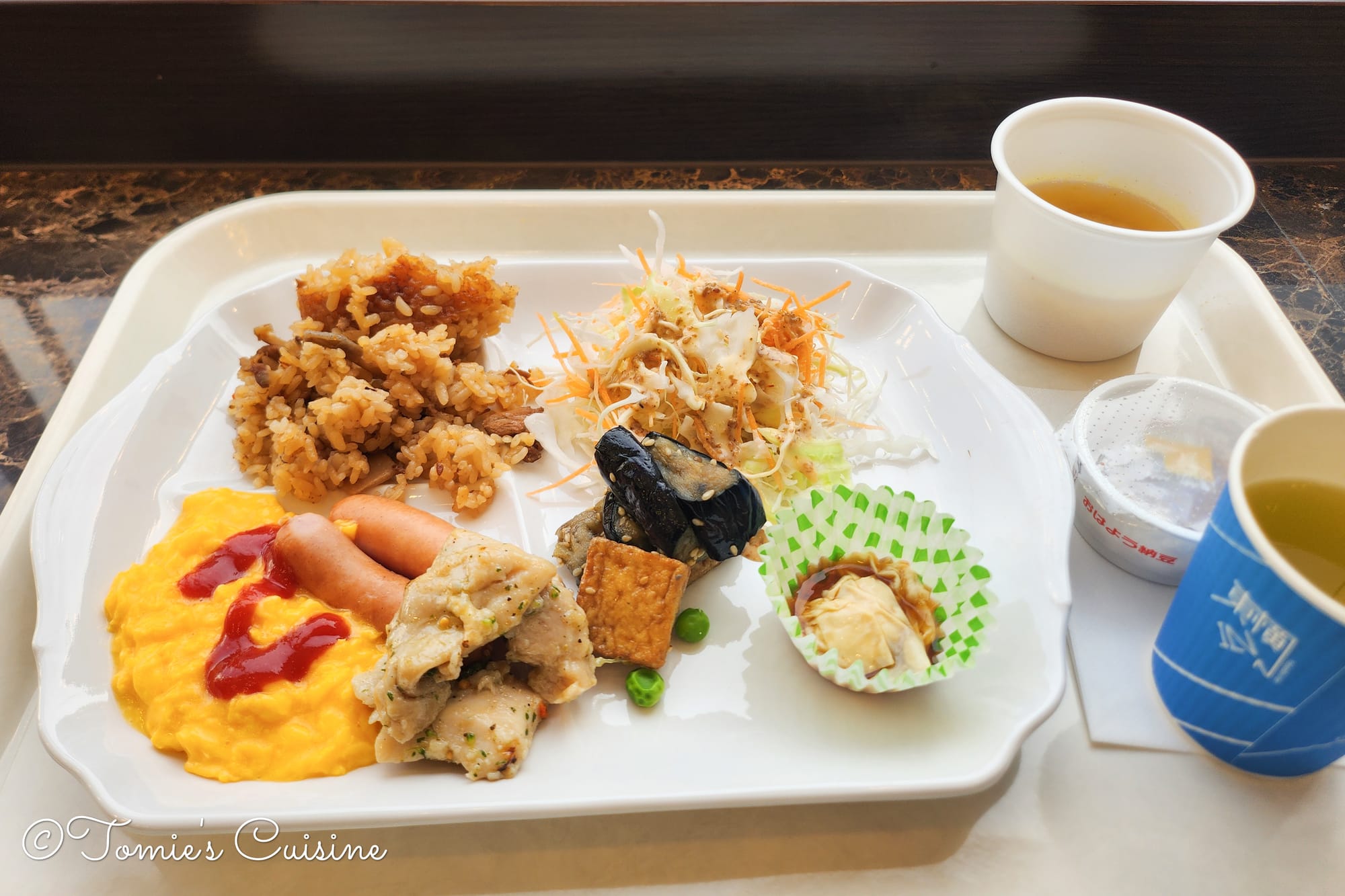
7:30 am Breakfast at Toyoko Inn
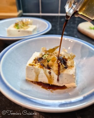
Our second day on the Nakasendo began with breakfast at the hotel. At Toyoko Inn, the meal is included, so we didn't have high expectations. However, what we found was a buffet offering a variety of Japanese dishes and a few continental breakfast options. The quality was surprisingly good. It was the perfect start to a long day of hiking.
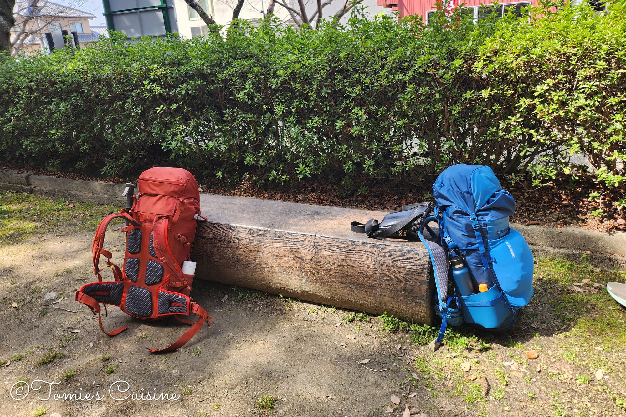
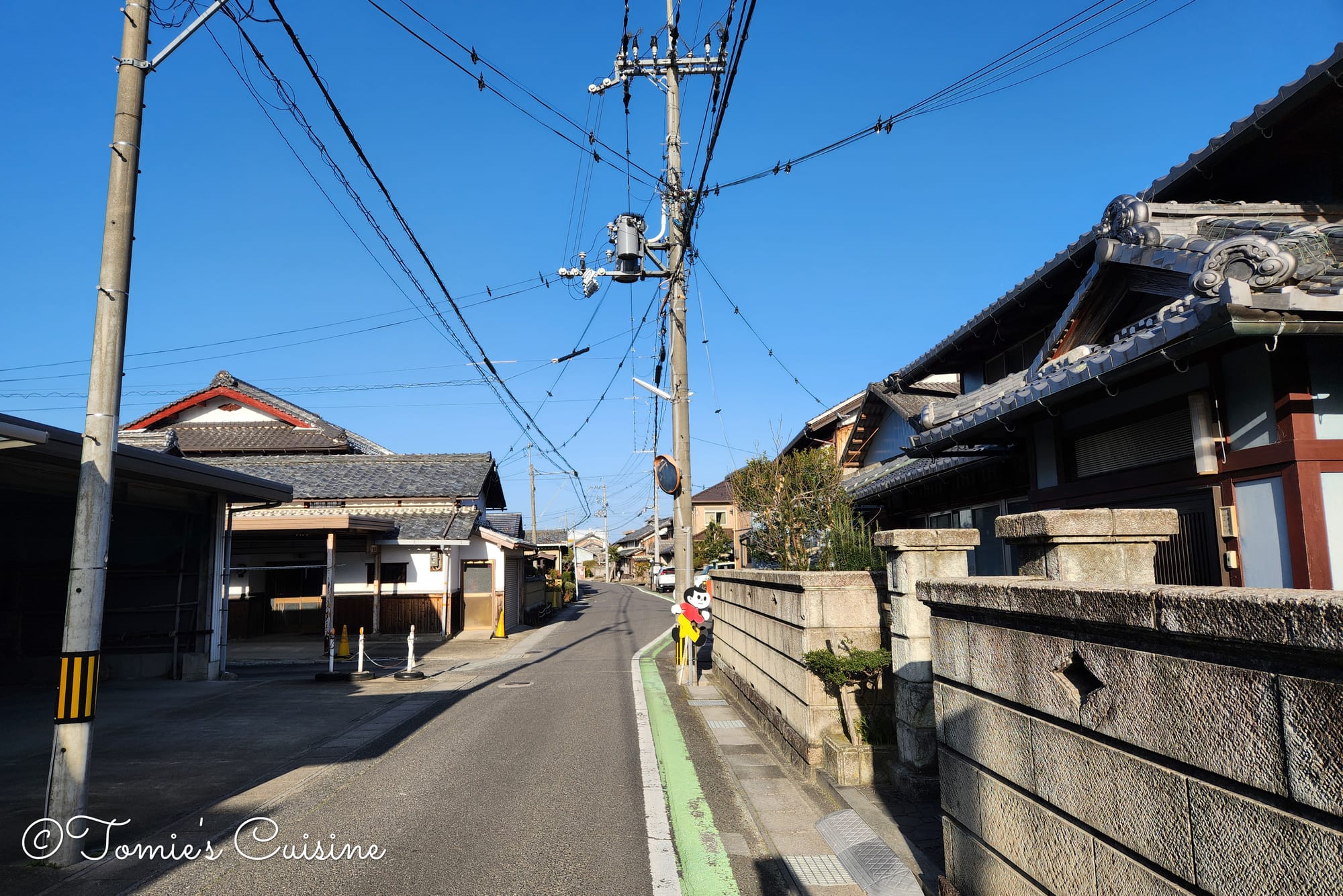
9:15 am After breakfast, we packed up and headed out.
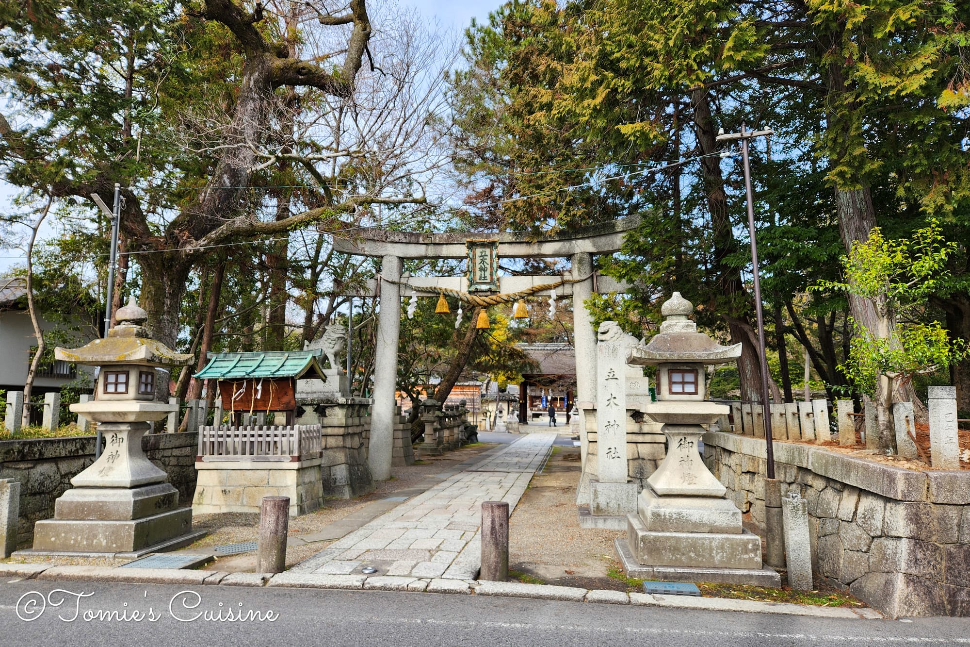
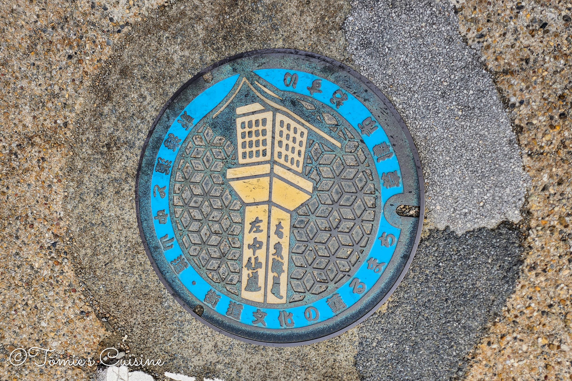
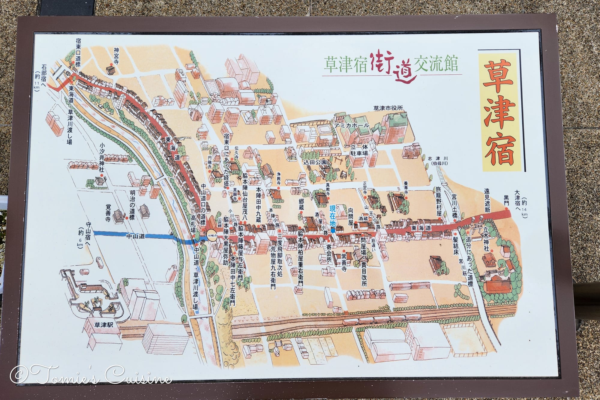
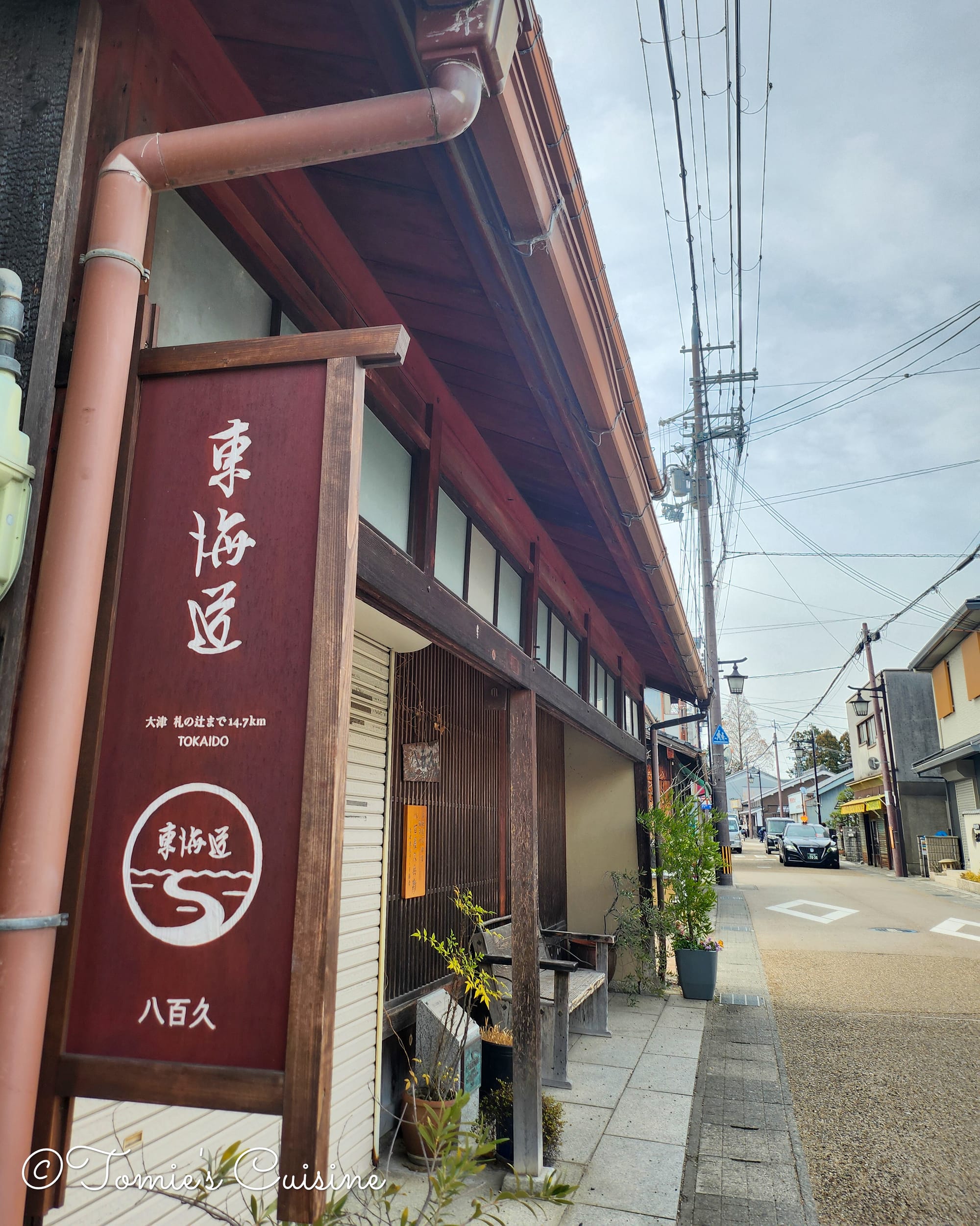
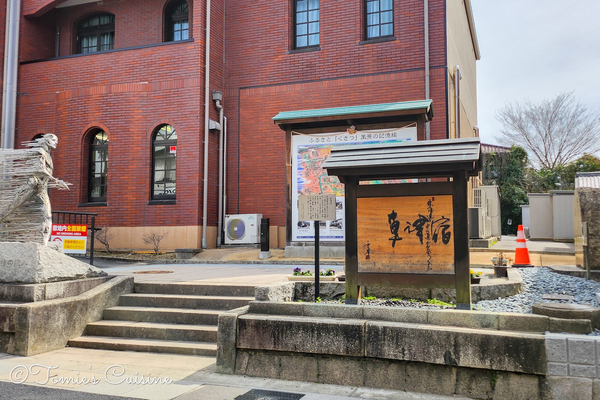
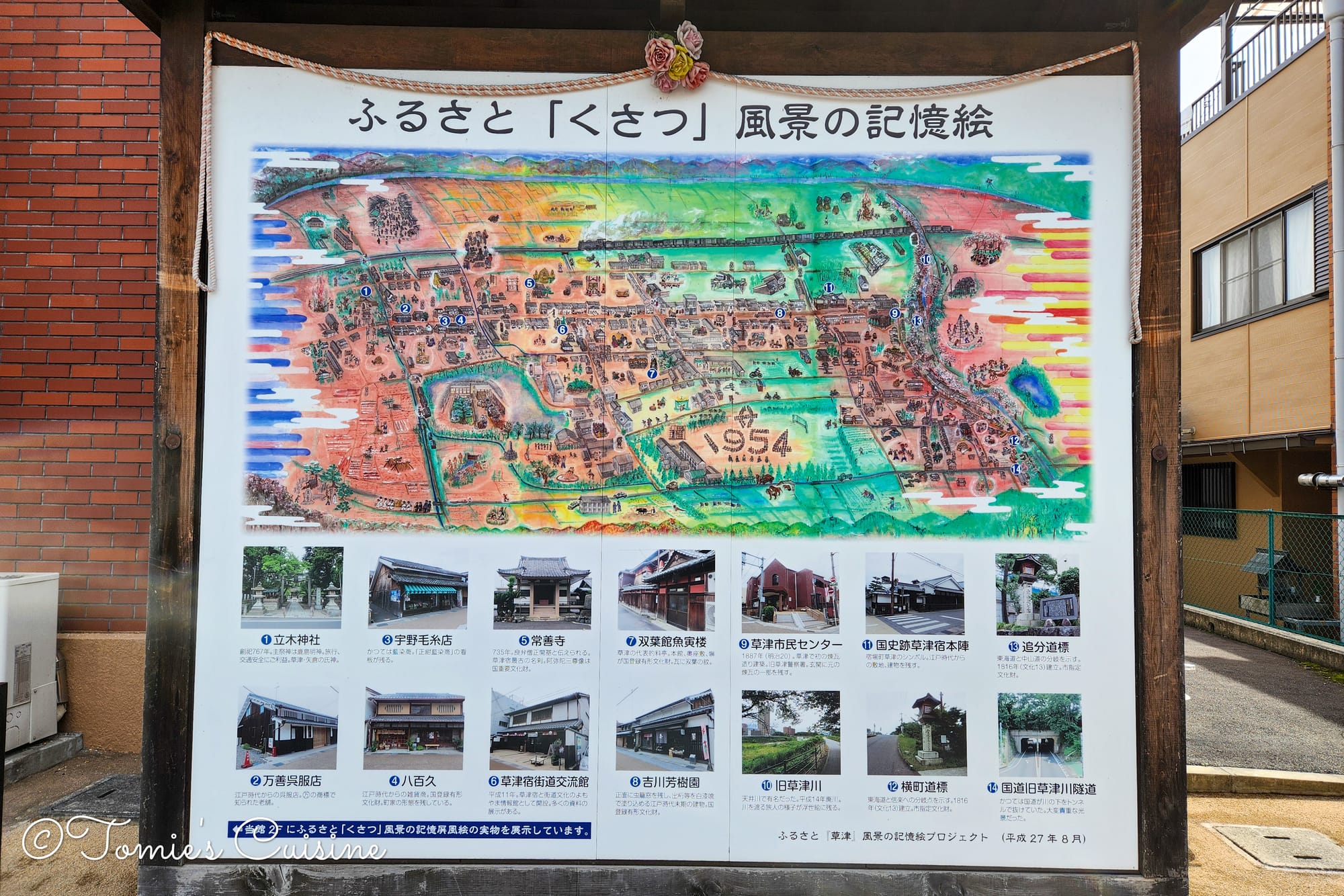
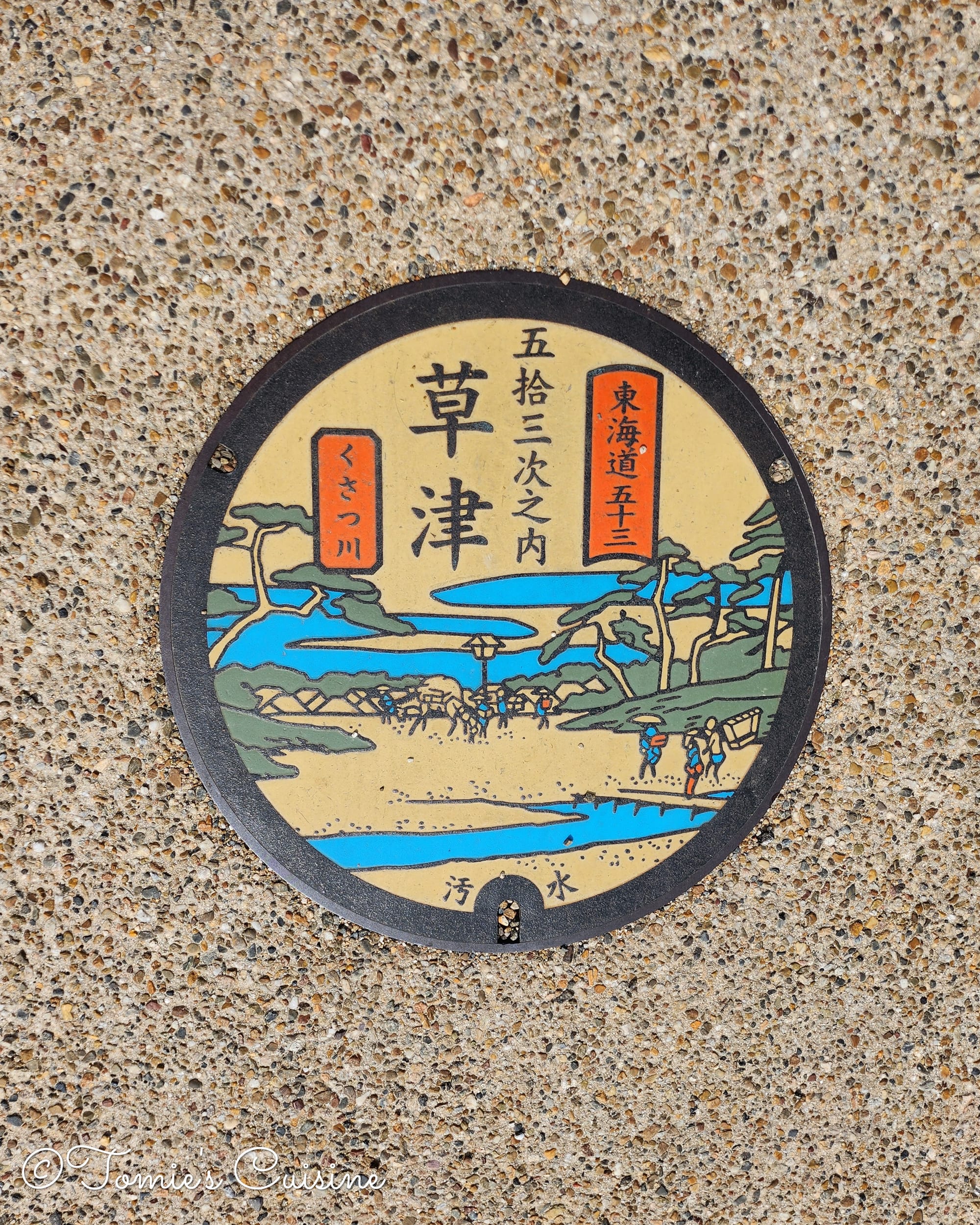
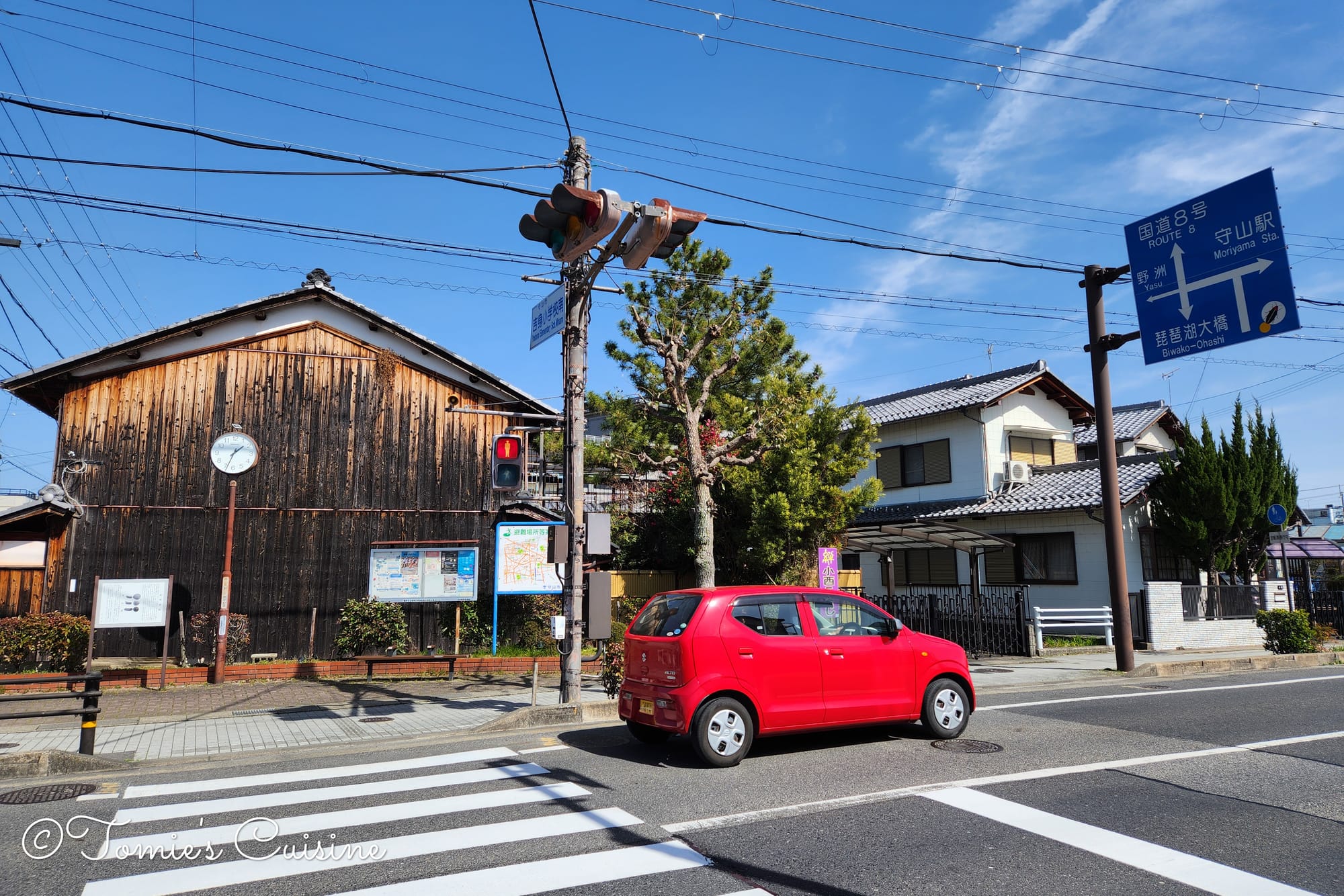
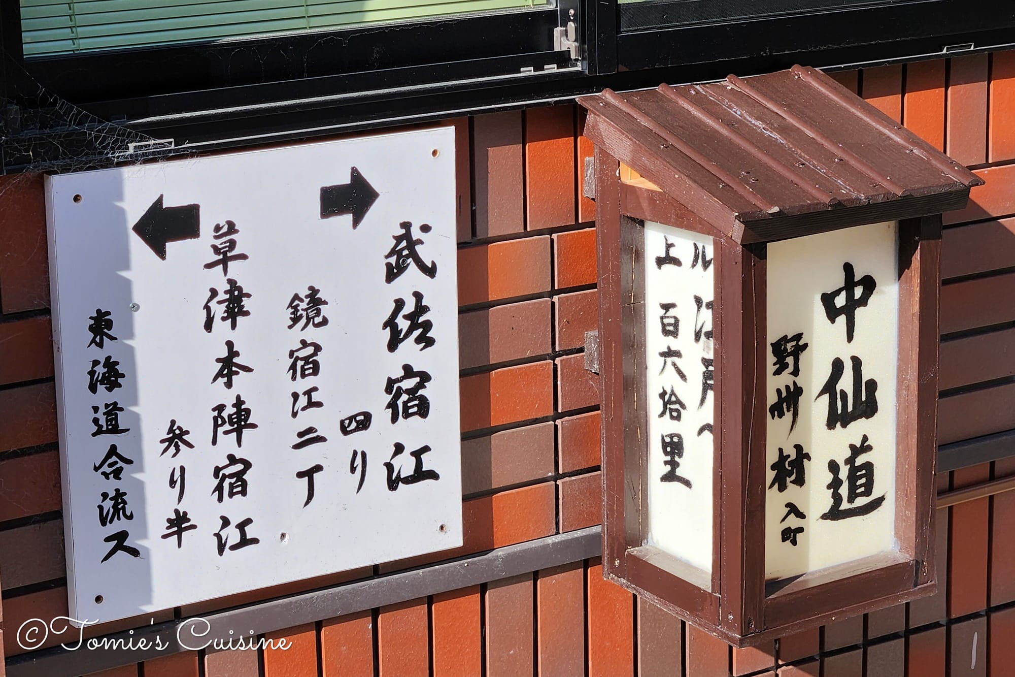
On the way to Kusatsu, there were several shrines, manholes with a local design, a map of Kusatsu post town, and Tokaido signs.
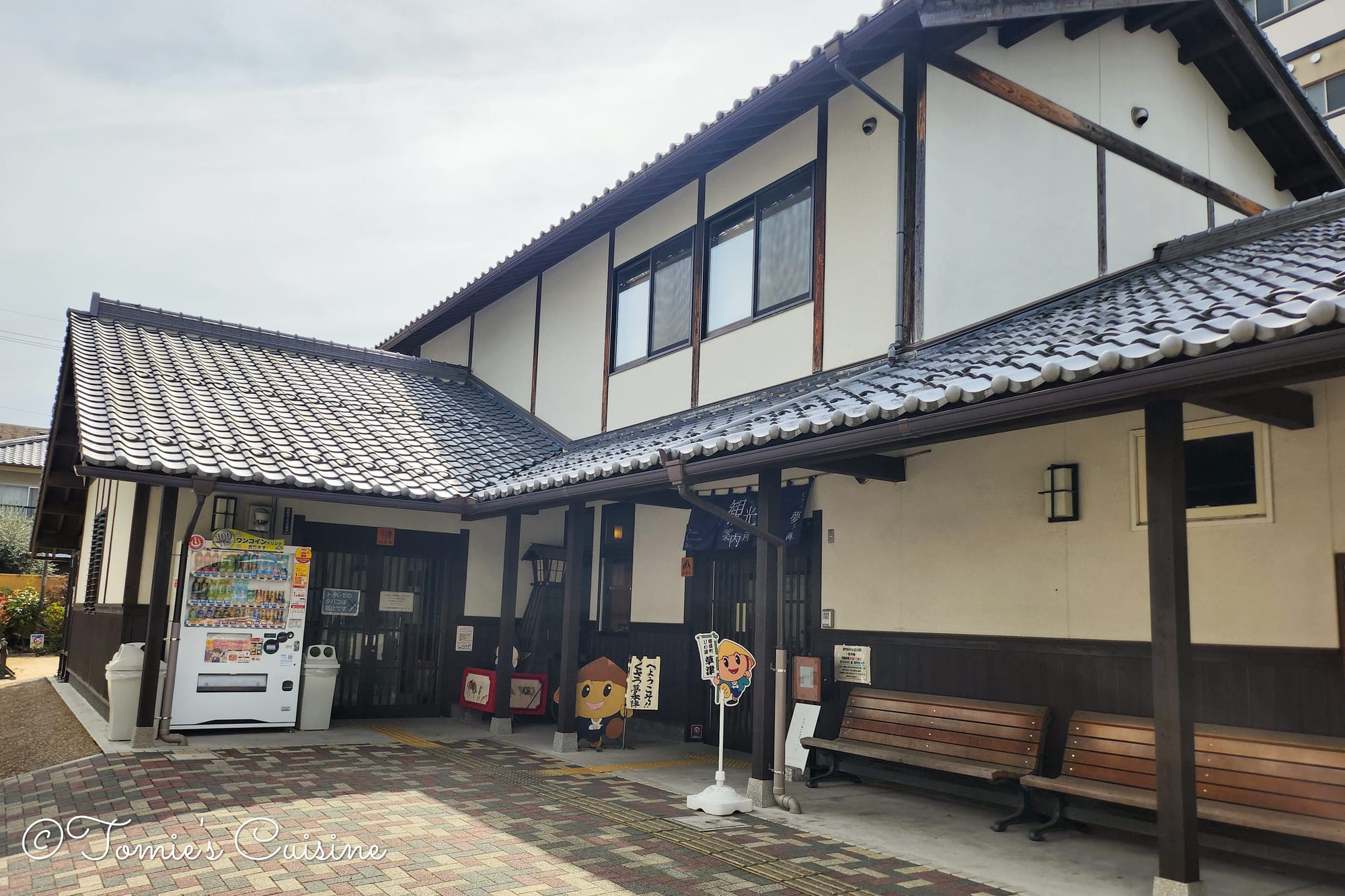
In Kusatsu 草津 (Shiga prefecture)
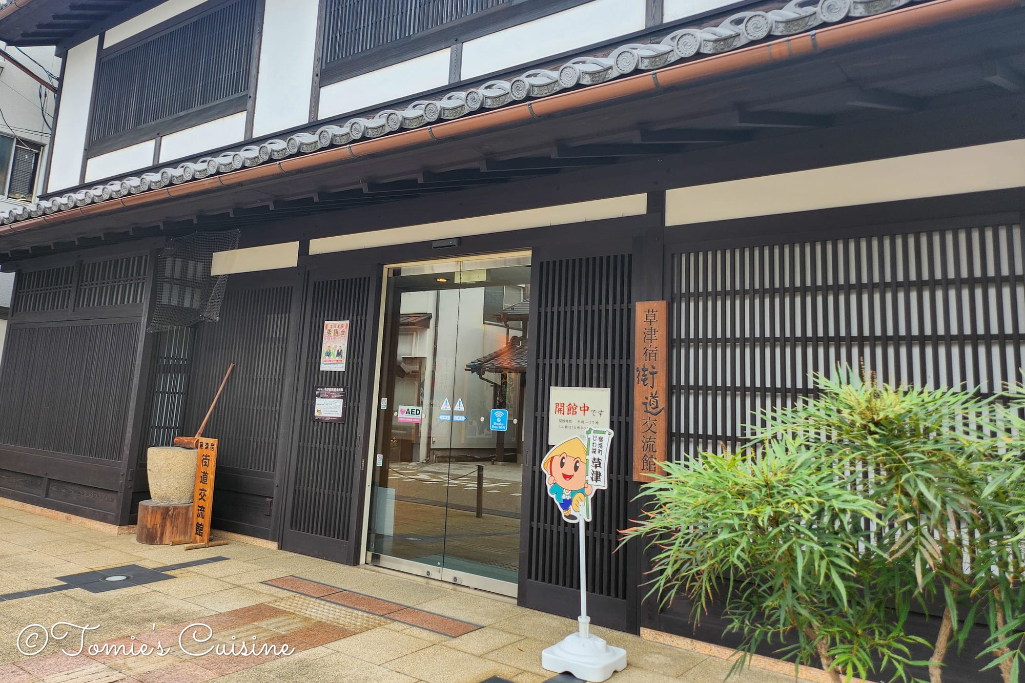
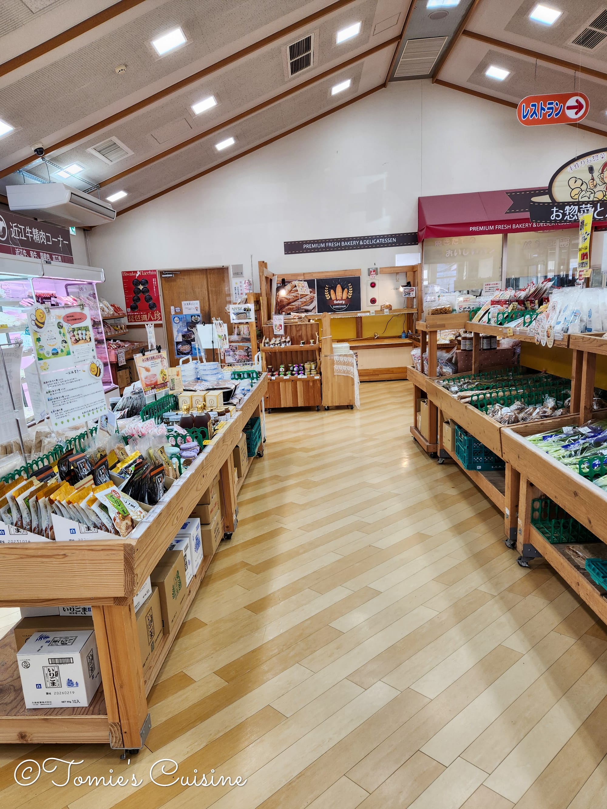
10:05 am We arrived at the Kusatsu Kaido Koryukan (草津街道交流館). We only planned a quick visit, but we ended up staying for almost an hour. Upstairs, a small museum with a 200 JPY entrance fee displays items from the period, explaining the history of Kusatsu Station.
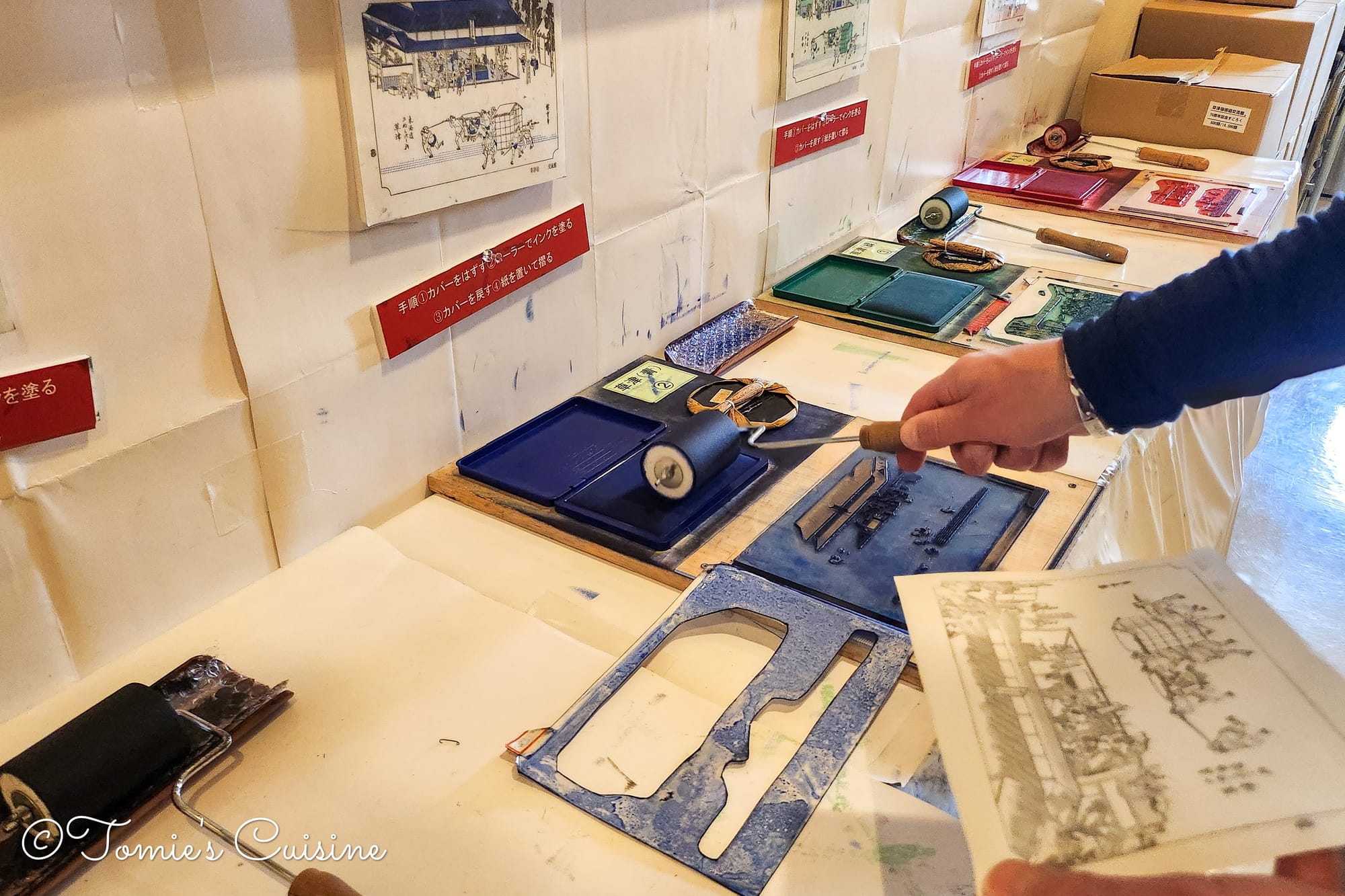
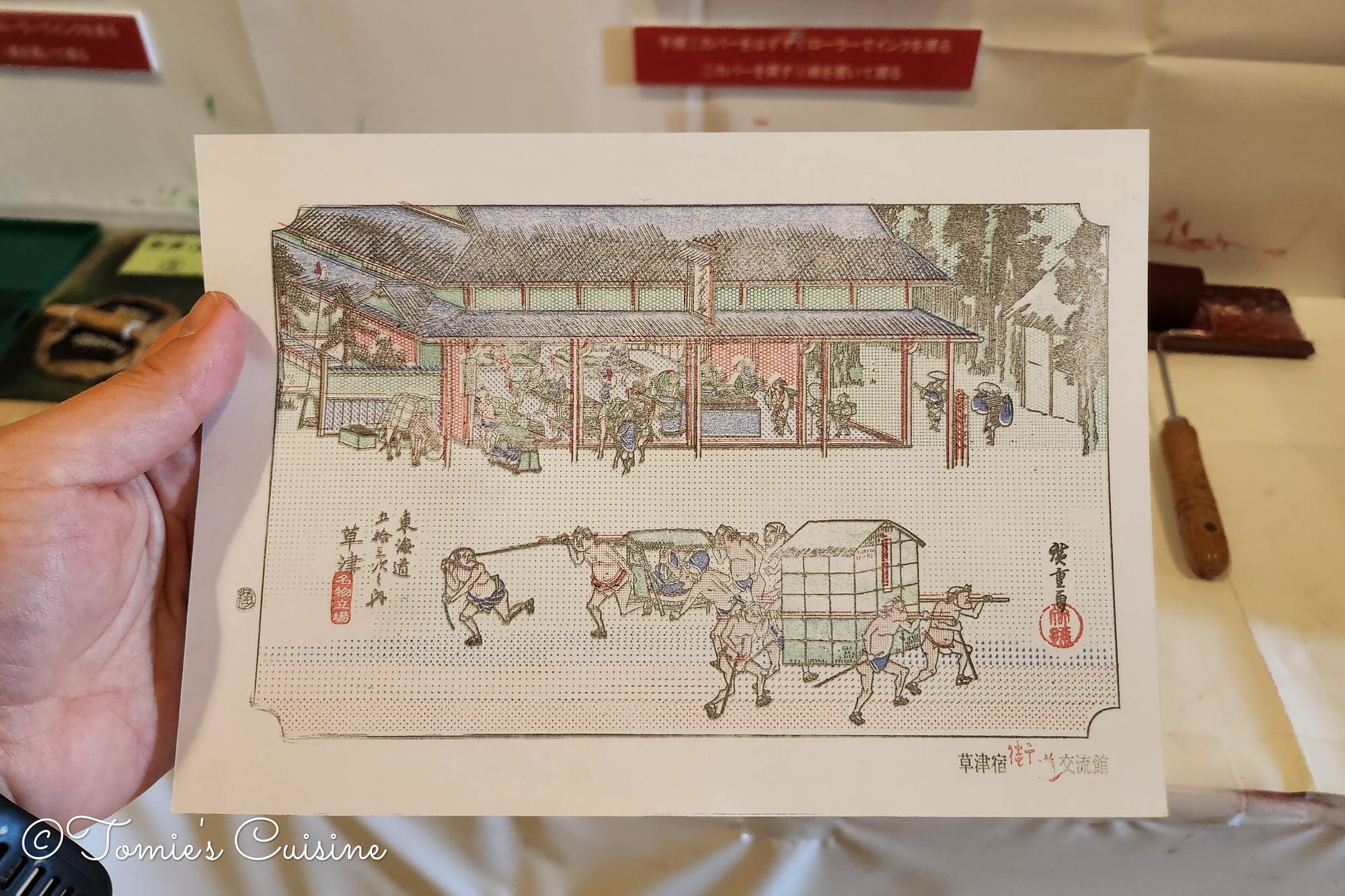
Downstairs, a staff member invited us to try a simplified Ukiyo-e print. It was a fun and hands-on way to understand how these prints were made during the Edo period. We each made a print and compared the results. We could have spent more time there, but our schedule was tight, and we needed to get back on the trail.
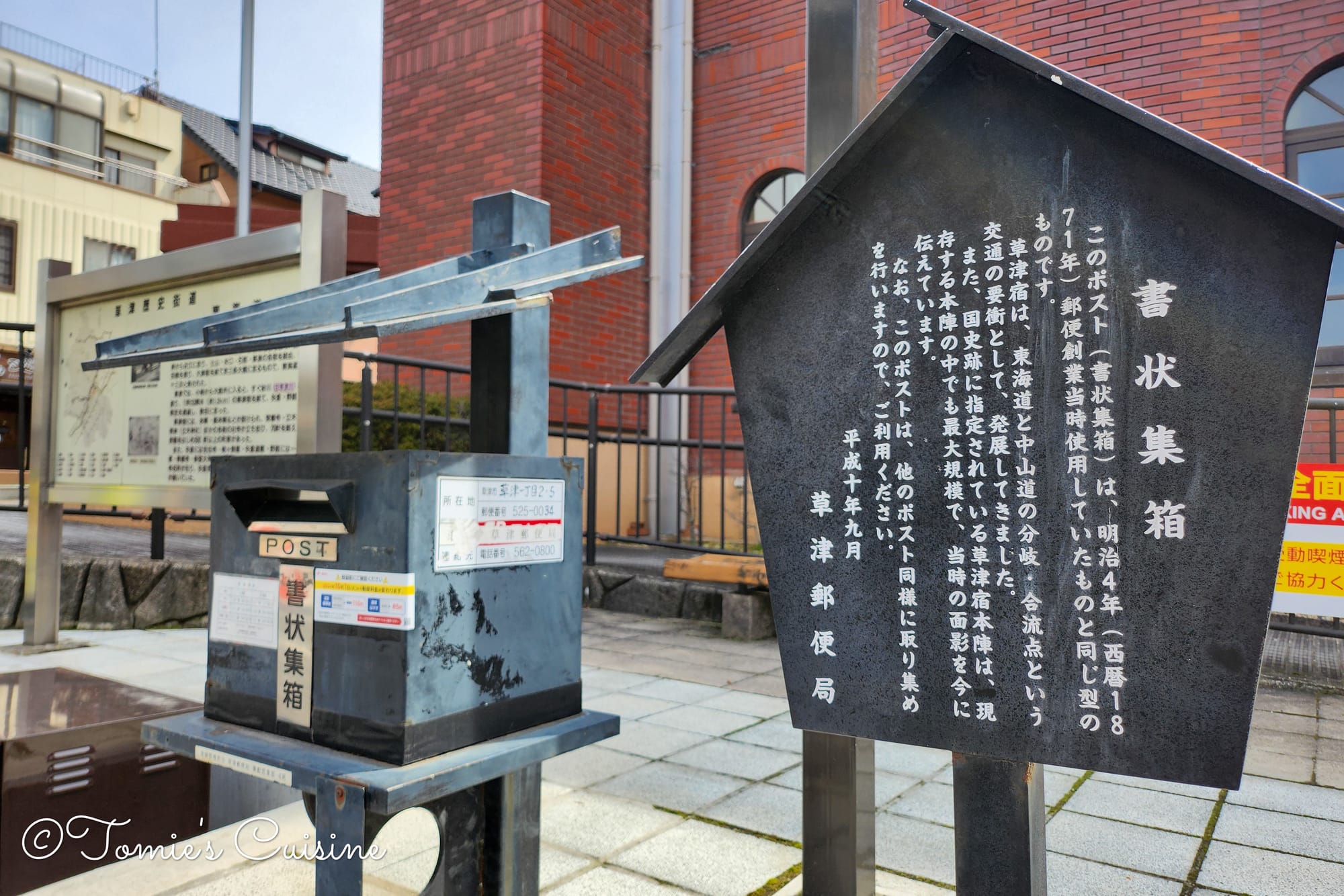
In the post town of Kusatsu, there was a post box designed like the one from 1871.
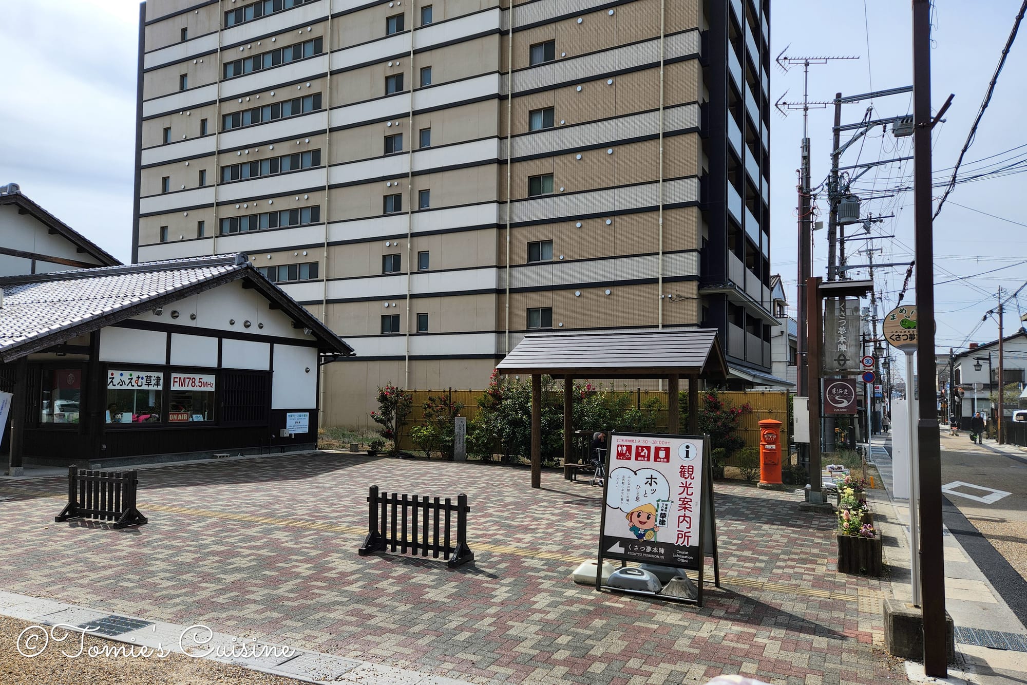
The tourist information centre in Kusatsu features a radio station and a manhole with a Ukiyo-e style design.
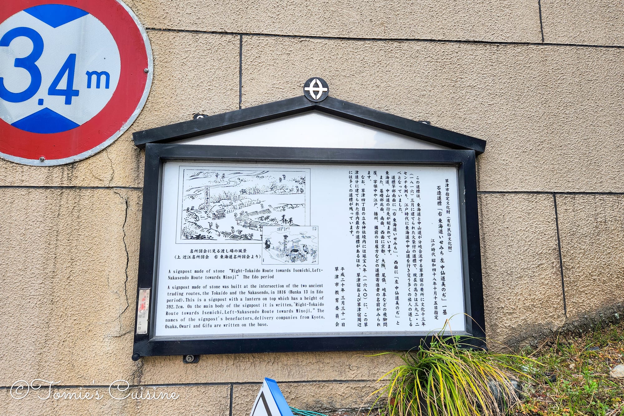
11 am As we left the Koryu Kaikan, we were supposed to see the junction of the Nakasendo and the Tokaido. However, construction was happening around the area, including the Honjin, and we missed our chance to get a good look.
The information board located at the junction of the Nakasendo and Tokaido roads describes how the two roads split.
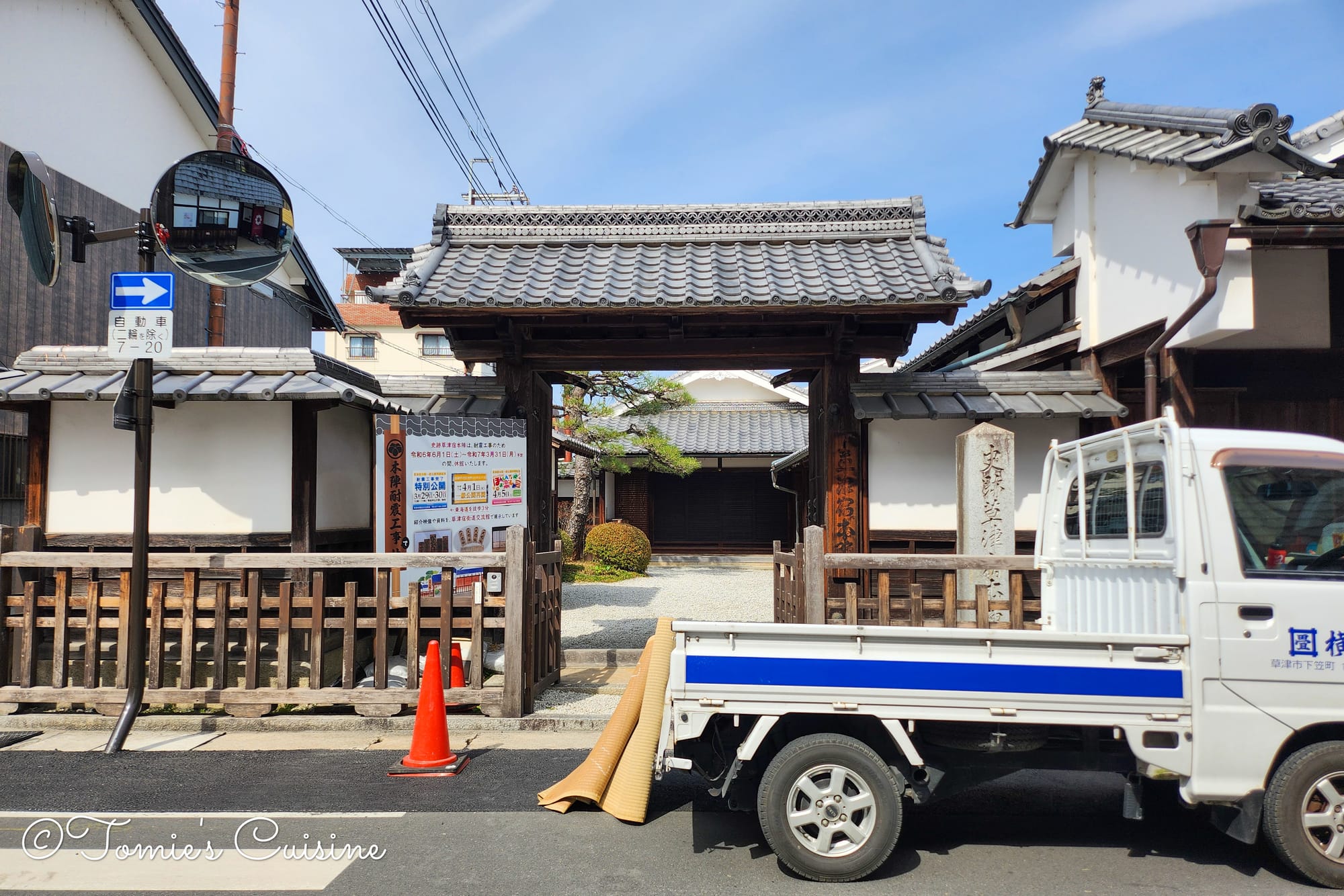
What is a Honjin (本陣)?
The Honjin in Kusatsu is currently closed for earthquake renovations. We hope to visit next time!
A Honjin was a special inn for high-ranking officials, such as daimyo and shogunate envoys, travelling on official business. After the shogun Tokugawa Iemitsu's journey in 1634, the system was formalised. Waki-honjin (脇本陣) were secondary inns used for overflow or for different clans who arrived at the same time. While a Honjin was exclusively for the elite, a Waki-honjin could be used by ordinary travellers when no VIPs were staying there.
A Missed Treat
We had hoped to try Kusatsu's famous sweets, Ubagamochi and Honjin Monaka, from Ubagamochiya (うばがもちや). The shop, known for its sweets with anko (sweet red bean paste), was a few streets away from our route. Unfortunately, we had to skip it, but we’re hoping to try it on our next visit.
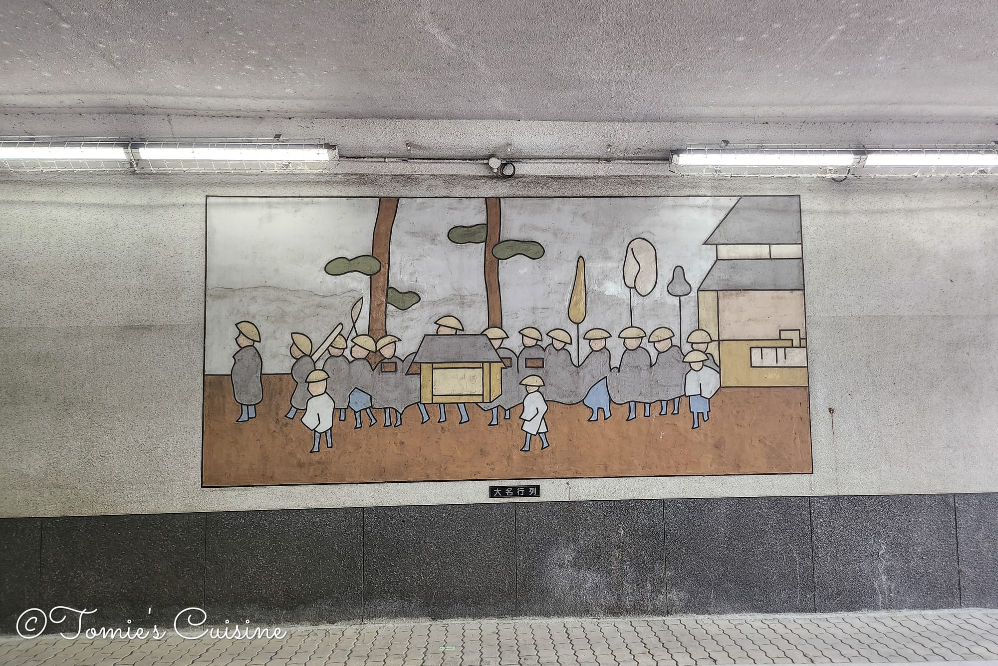
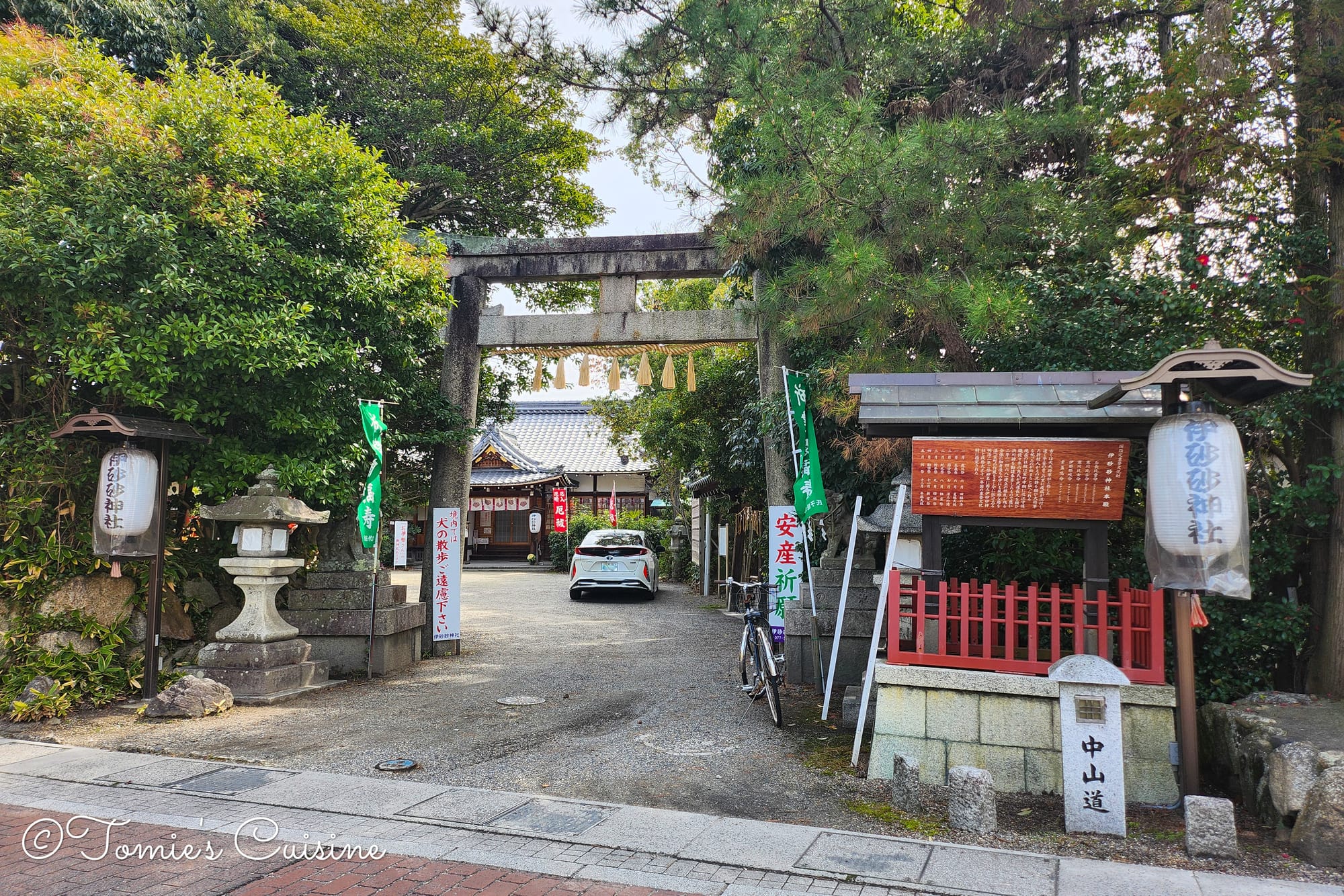
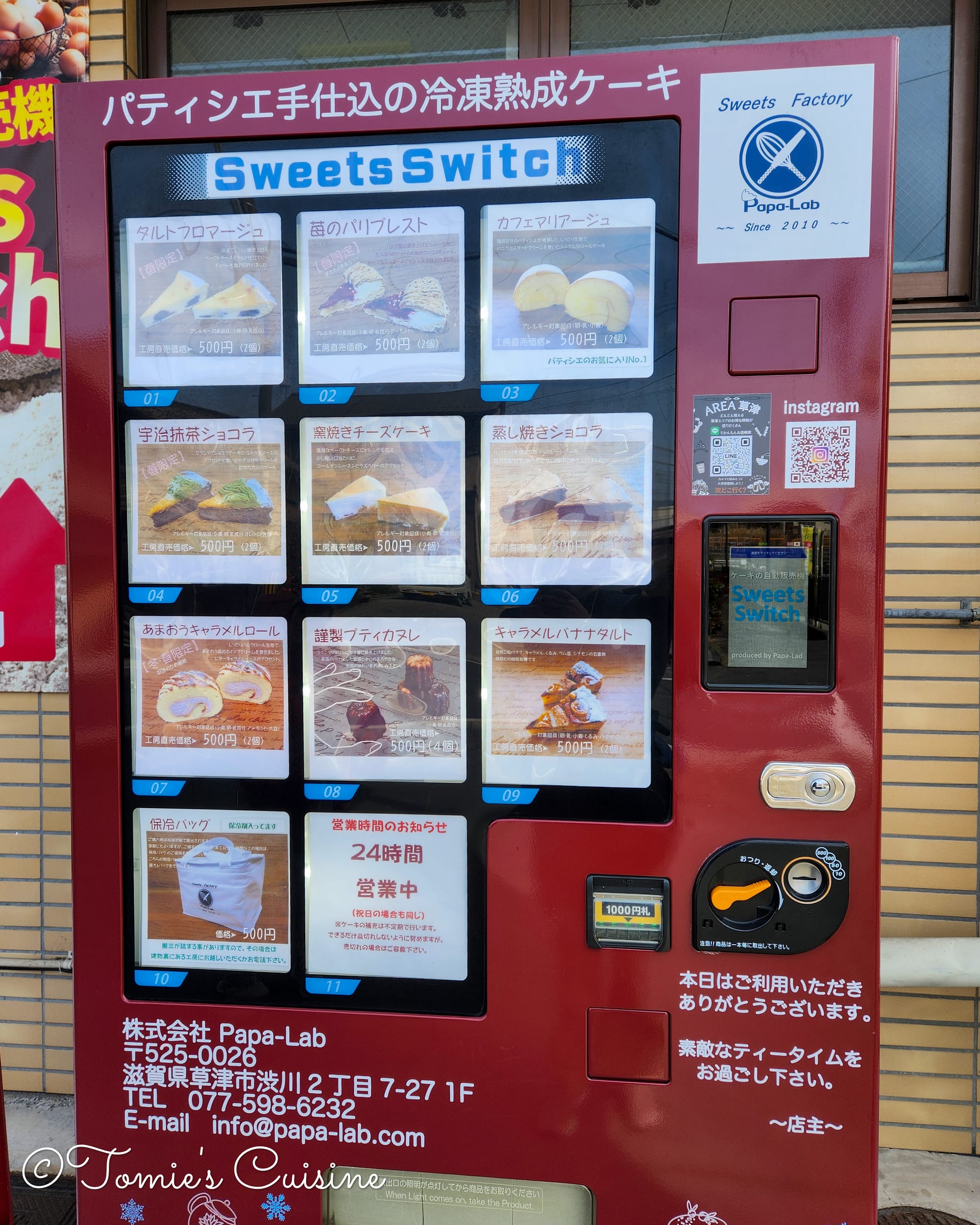
On the left is a historical scene depicting a Daimyo procession in the tunnel. In the middle is a shrine with the Nakasendo sign. On the right is a fresh frozen sweets vending machine.
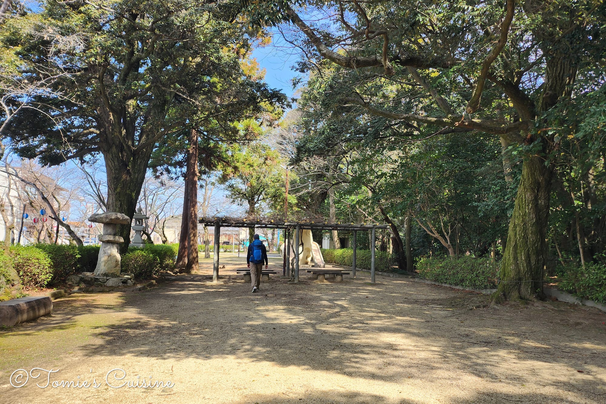
12:10 pm After walking for about an hour, we found a park called Daiho Park (大宝公園) next to Hiyoshi Shrine (日吉神社) and decided it was the perfect spot for a break. We had picked up sandwiches from a convenience store and enjoyed them for lunch. The park also had a public toilet, which was very convenient.
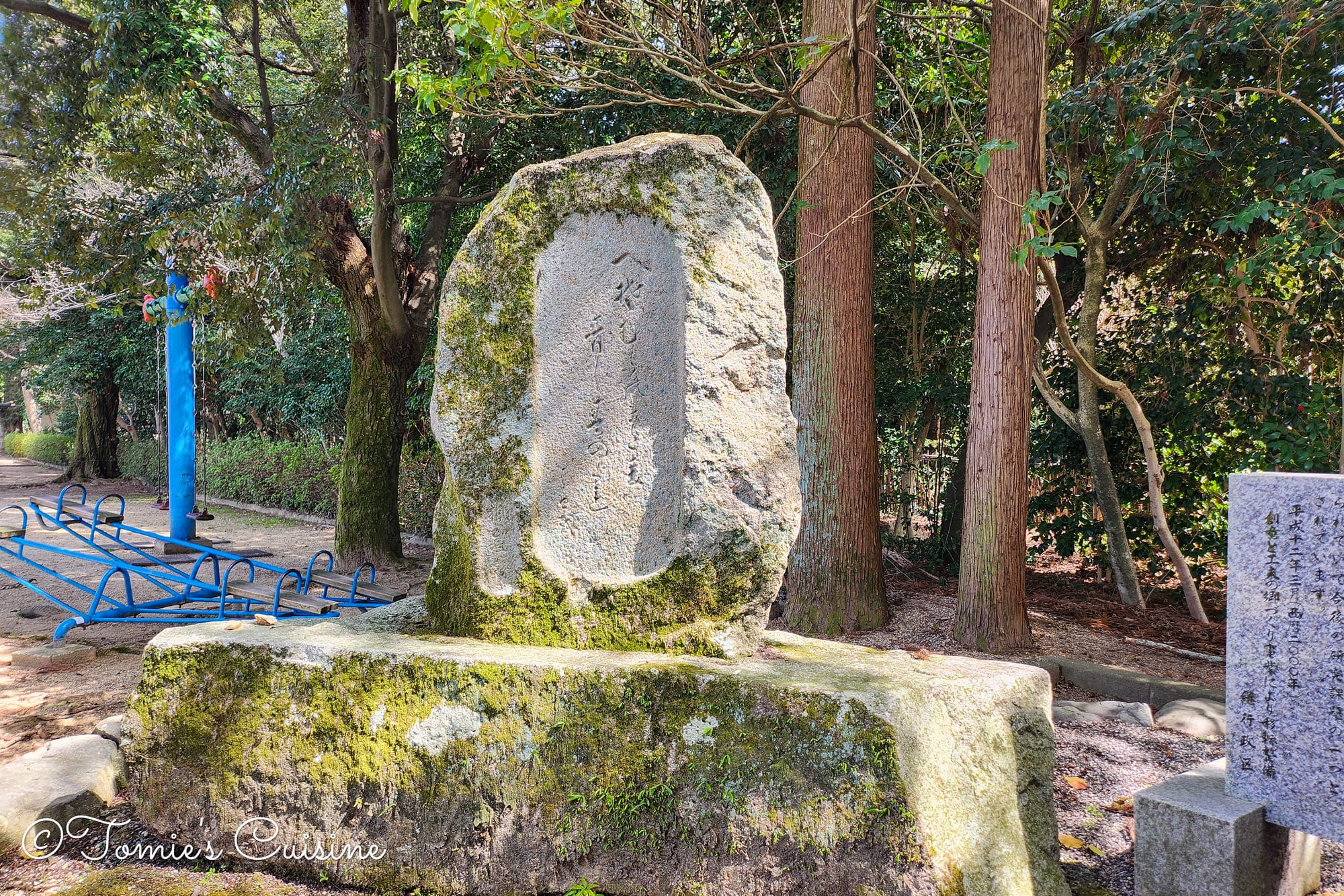
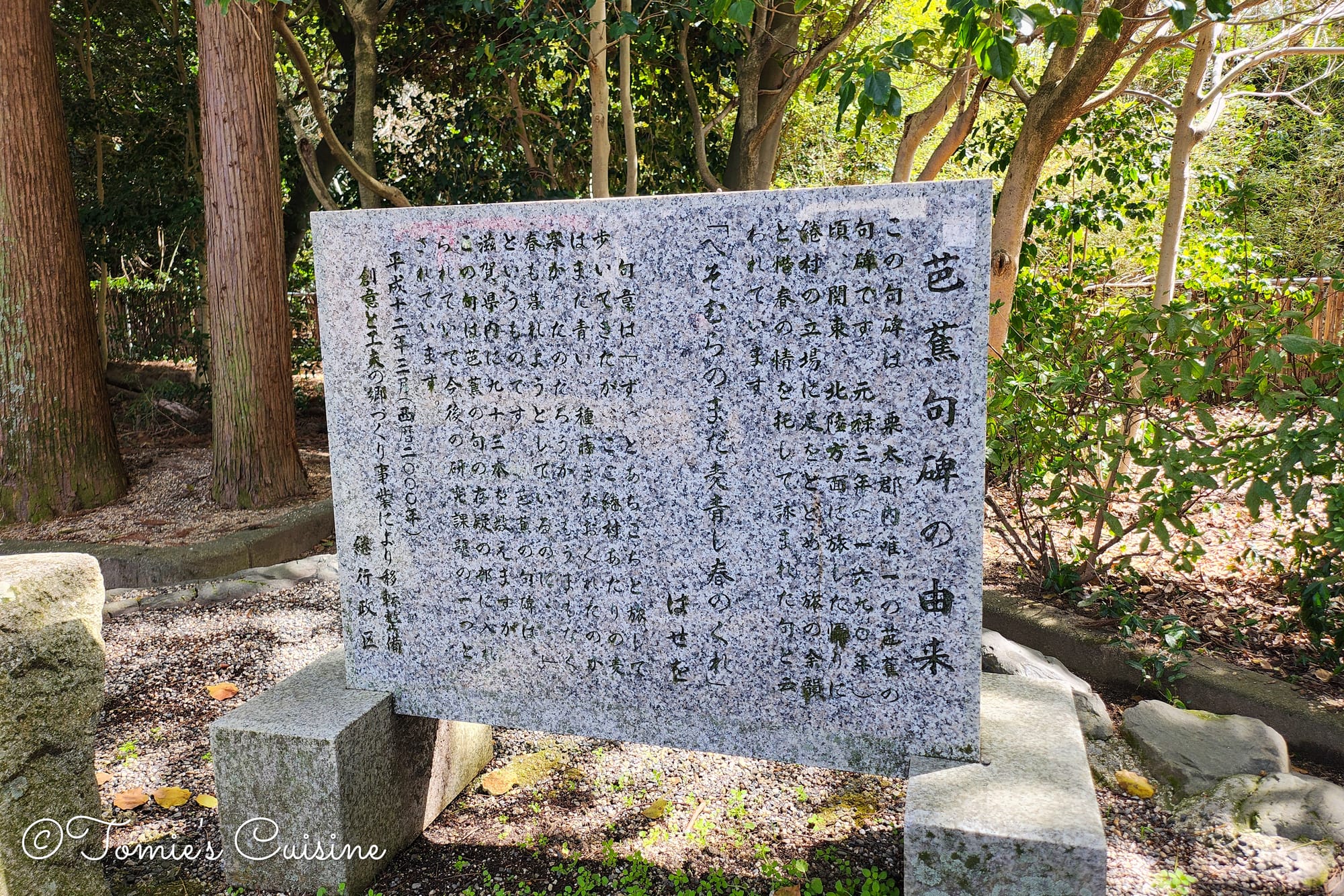
Basho-ku-hi (芭蕉句碑) is a statue with the Haiku poetry written by a famous Haiku artist, Matsuo Basho(松尾芭蕉 1644-1694)(left), and the explanation stone board. (right)
12:40 pm With our energy levels restored, we continued our journey.
On to Moriyama 守山
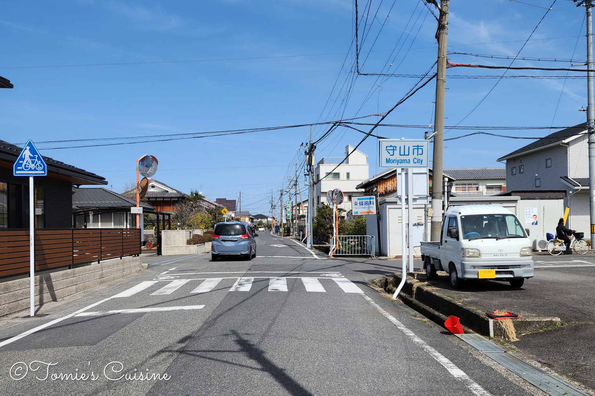
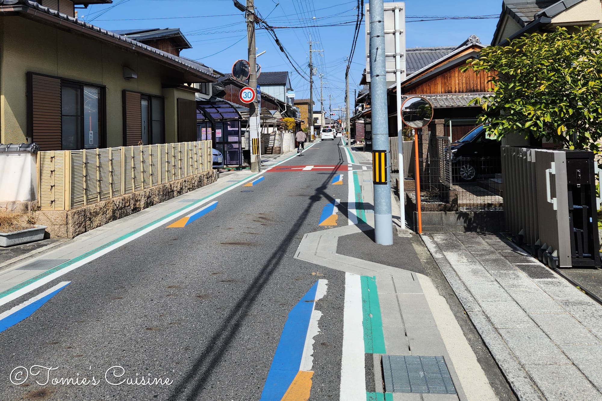
12:42 pm We entered Moriyama City, with the post town just a short walk away.
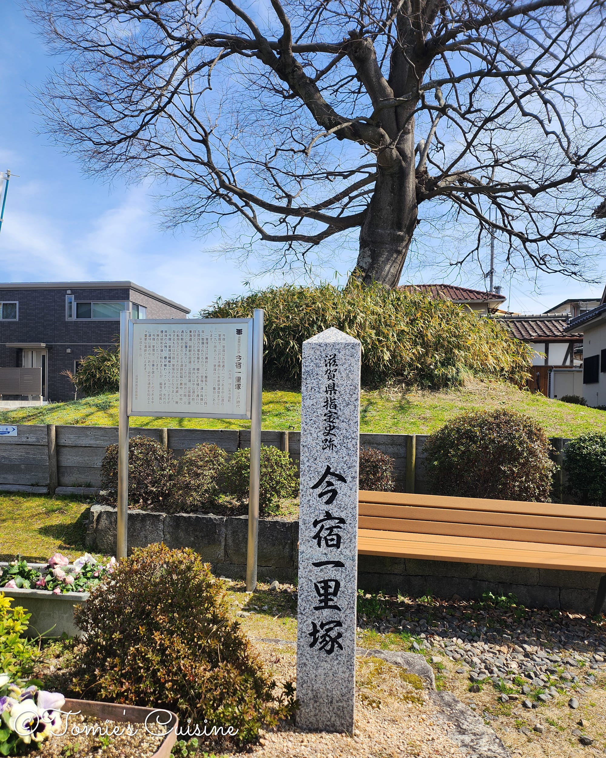
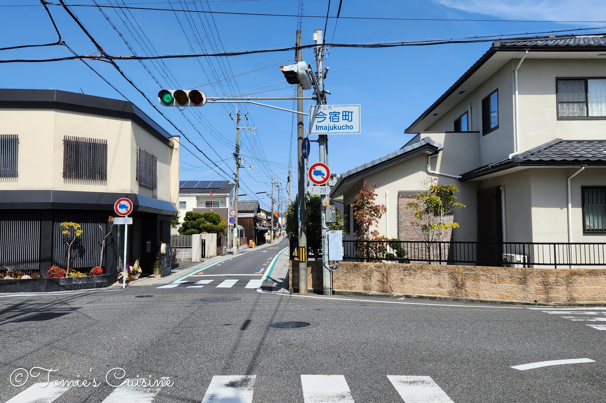
12:58 pm We spotted a great Ichirizuka (一里塚), a milestone mound with a tree on top, in a place called Ima-juku (今宿). The "juku" in its name signifies it was a Kashuku (加宿), an "additional post station" created to supply enough people and horses for the main post town.
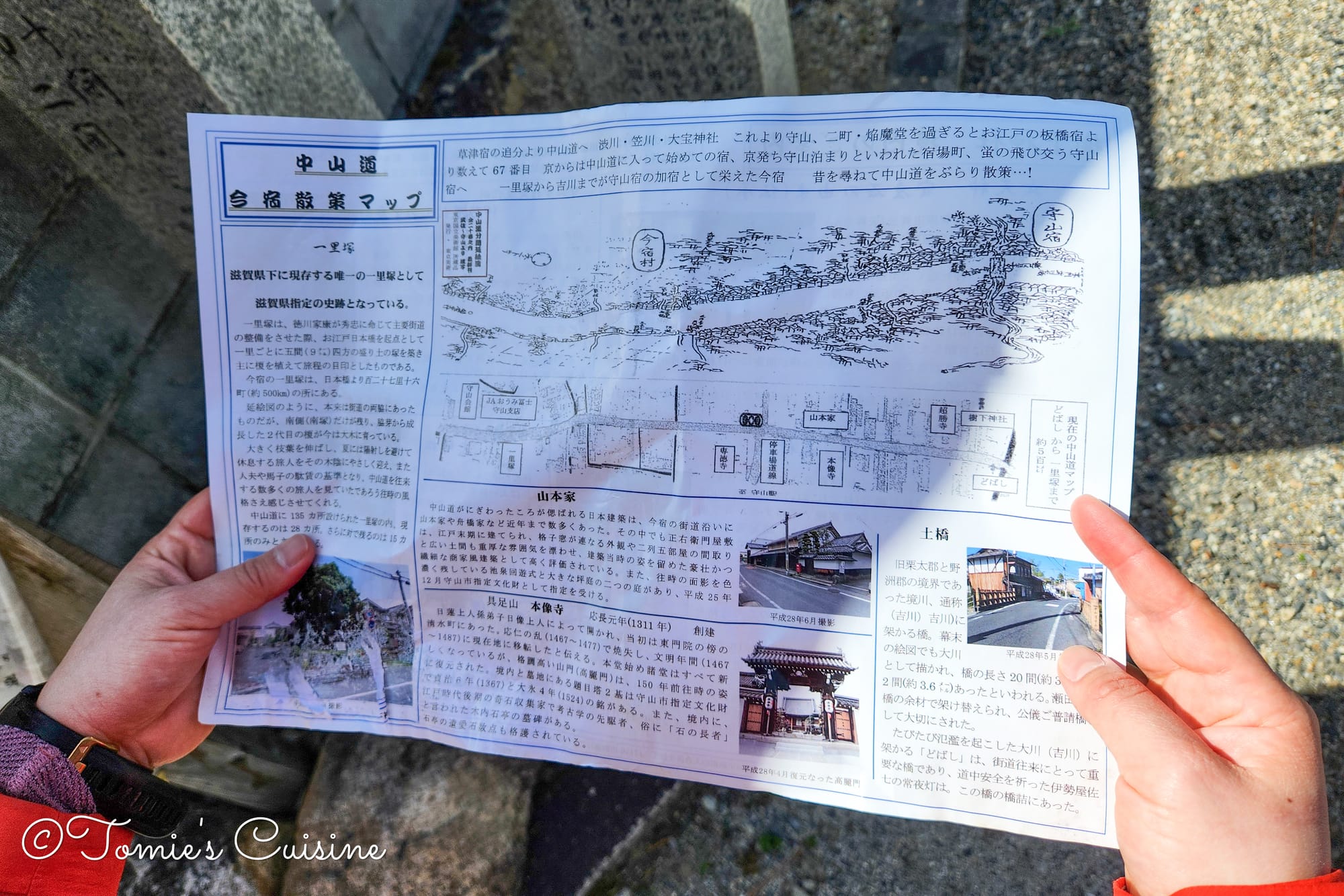
Photos of the view that we saw between Imajuku and Moriyama post town. The paper I'm holding is a free map of Imajuku on Nakasendo from Juge shrine.
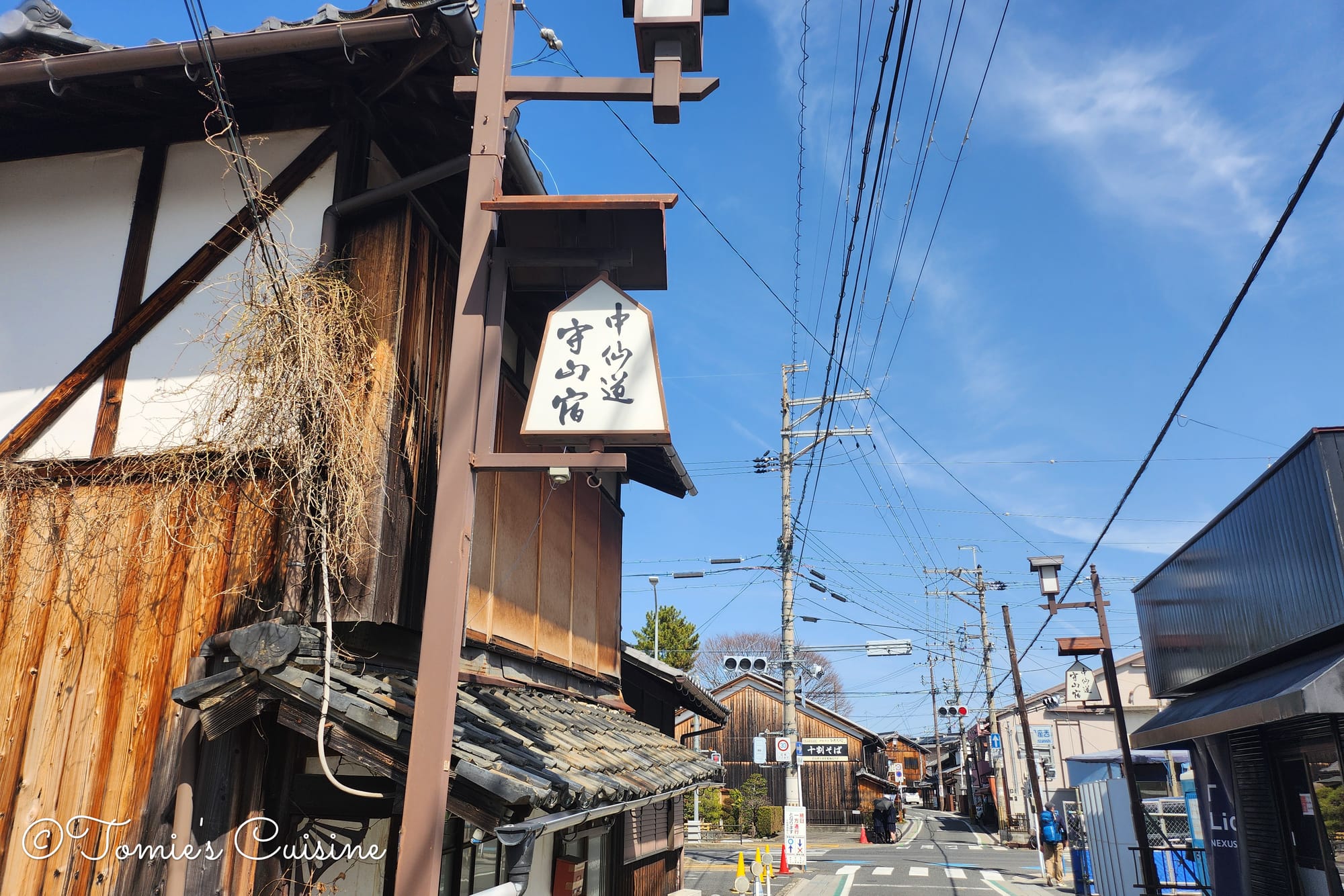
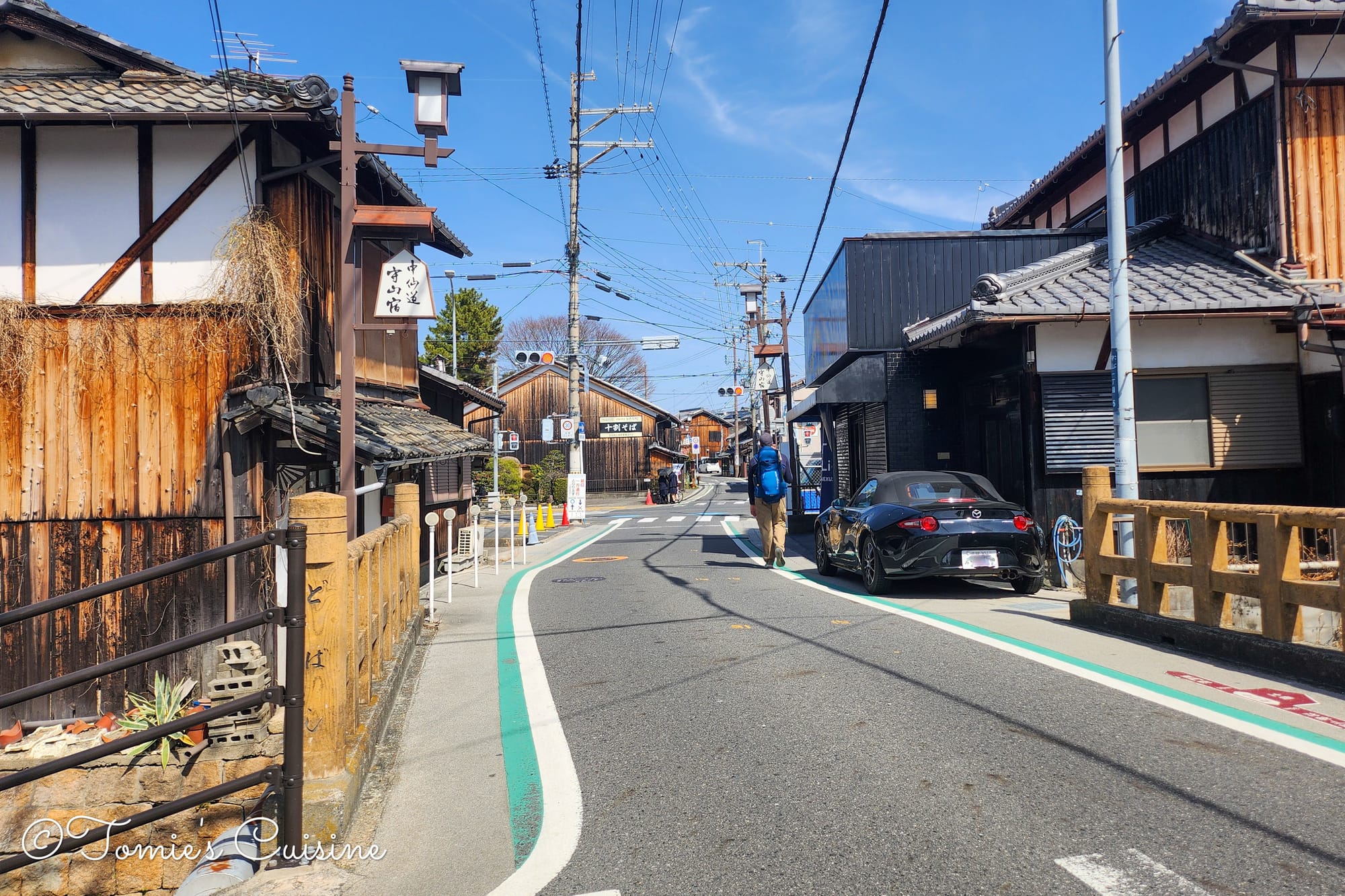
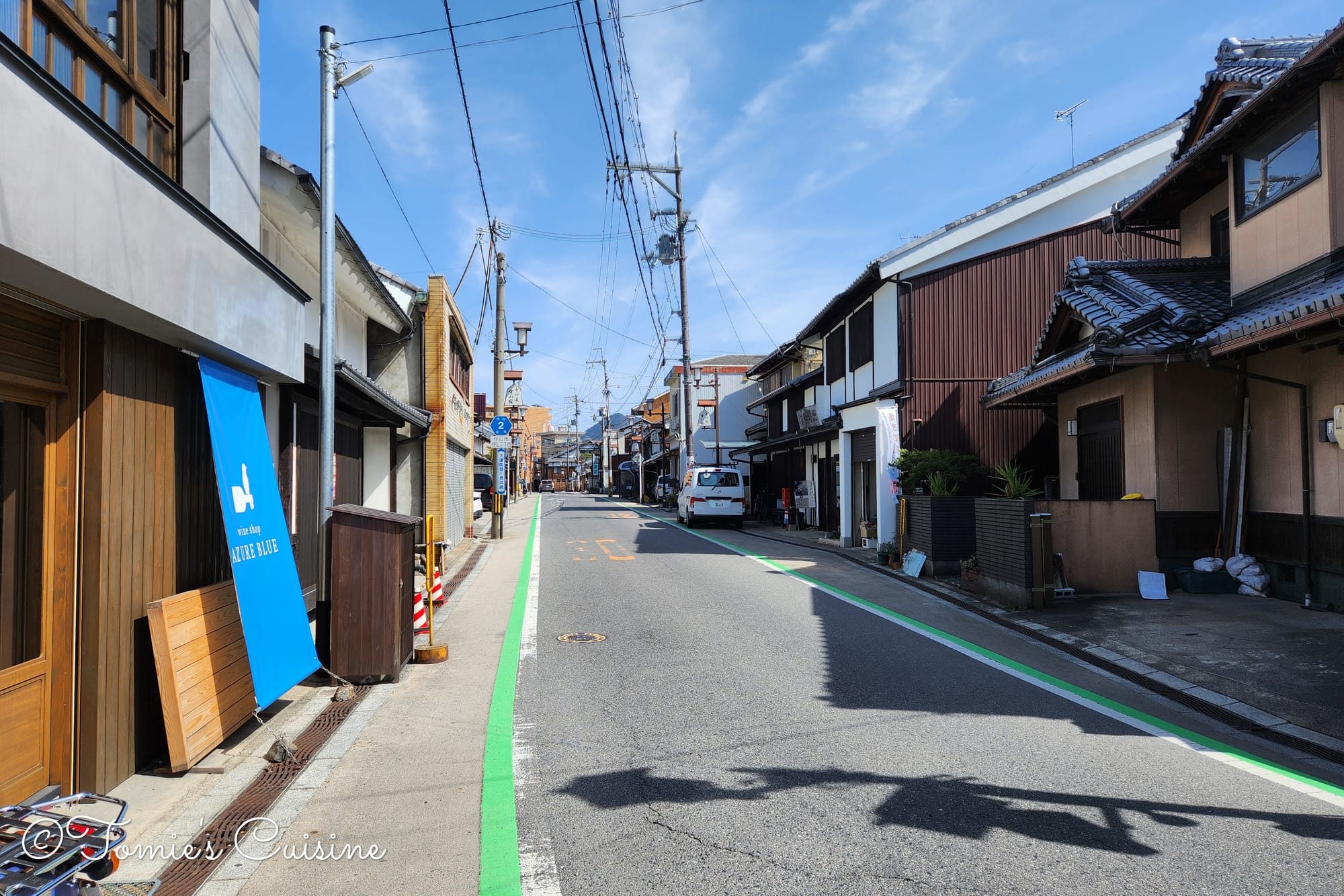
1:08 pm We had arrived at the Moriyama-shuku post town.
The Dobashi (土橋), a bridge once made of wood and soil, was 36 meters long and 3.6 meters wide, serving as a powerful boundary.
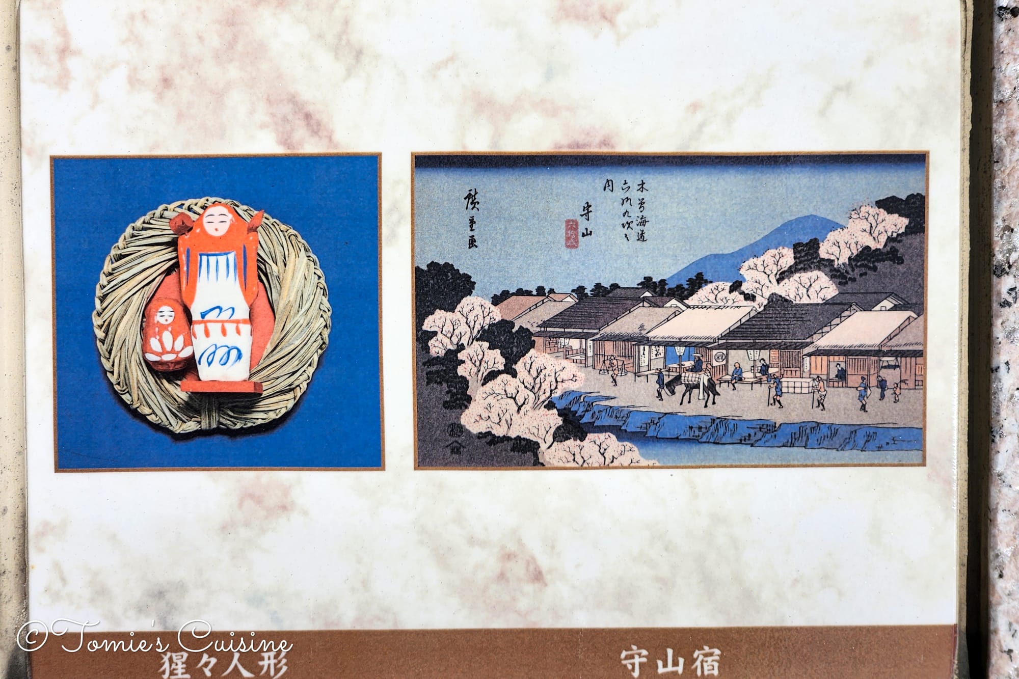
On the right is a Ukiyo-e print of Moriyama post town, and on the left is a traditional local amulet for children, known as the "Shoujou doll (猩々人形)".
It's a bridge that was famously featured in a ukiyo-e print by the artist Utagawa Hiroshige, who drew the view from this very spot.
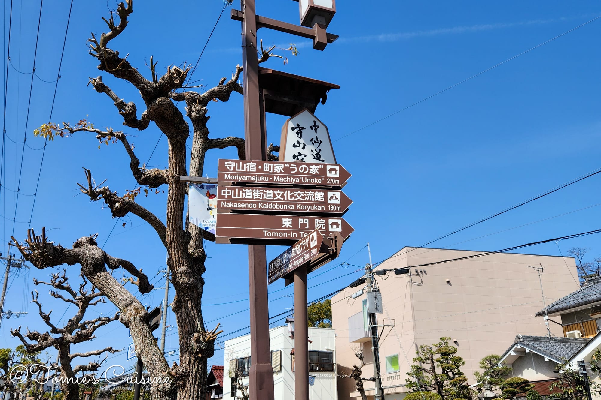
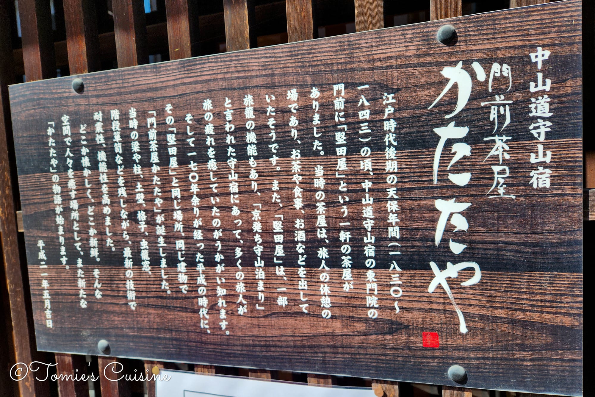
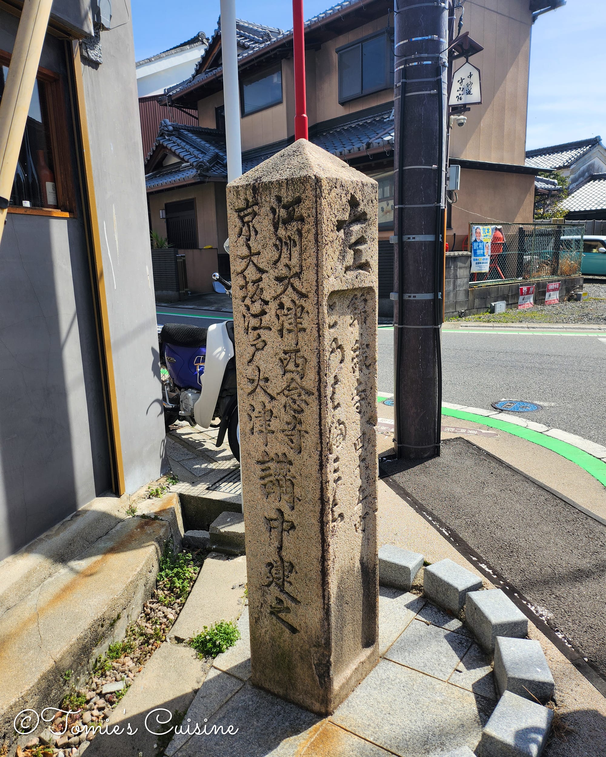
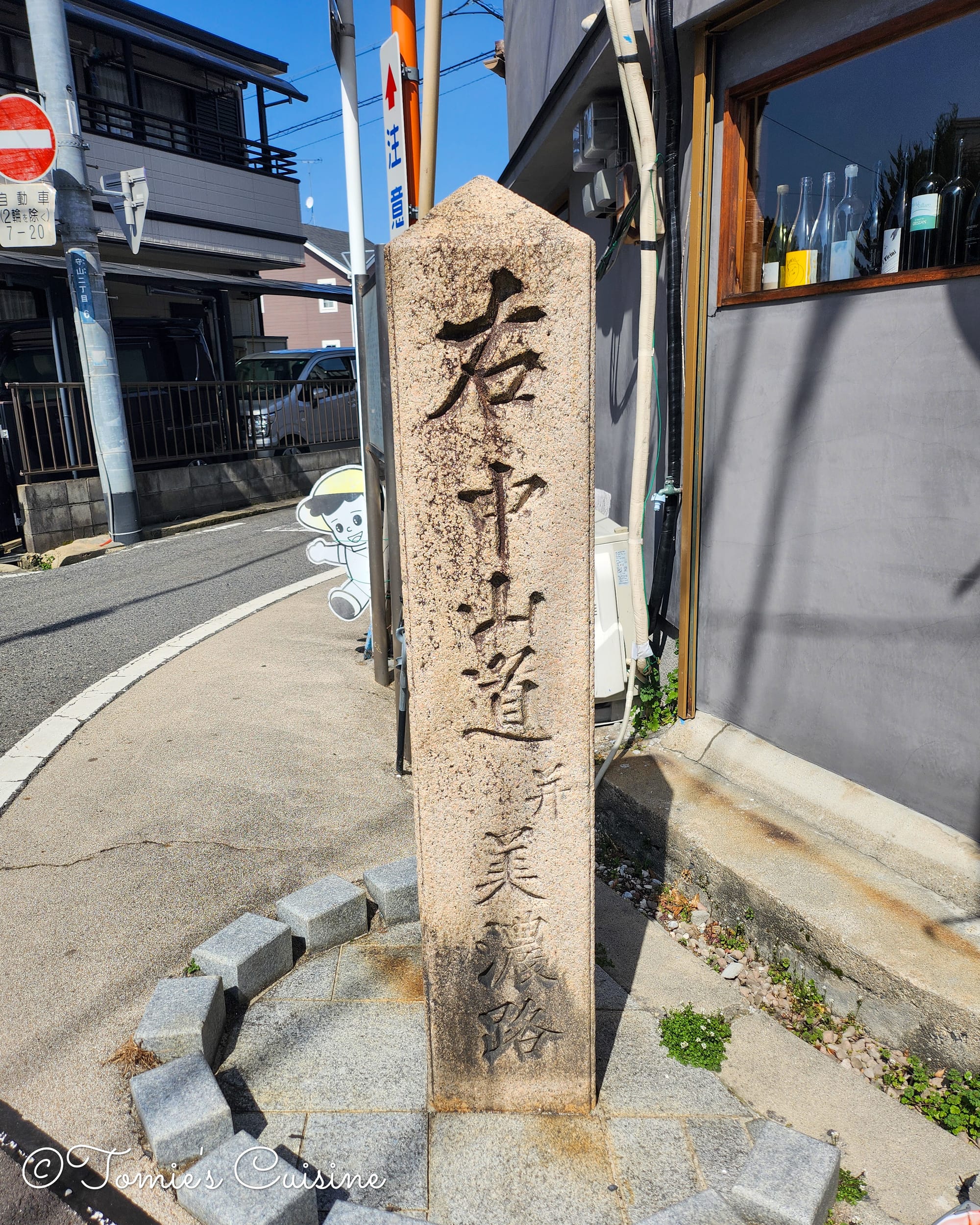
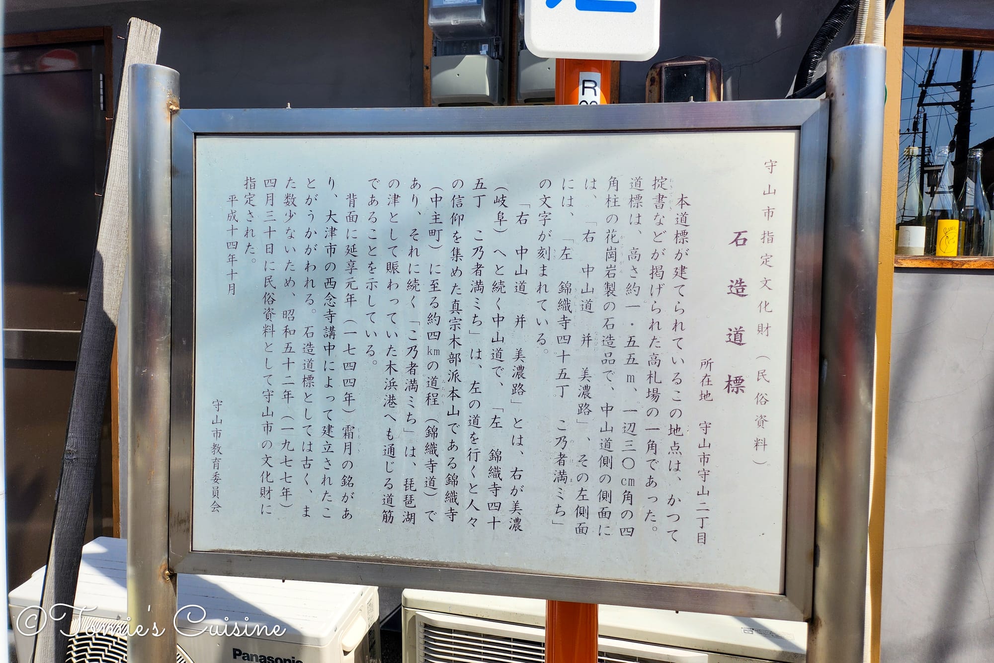
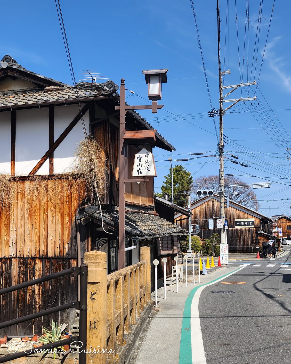
Going through Moriyama post town. From the top left, a direction sign, an explanation board of a tea house called "Katataya (かたたや)", a street view of Moriyama, a stone direction signpost to indicate "To the right, Nakasendo Mino road", "To the left, Nishikori temple", and the explanation board about the stone signpost.
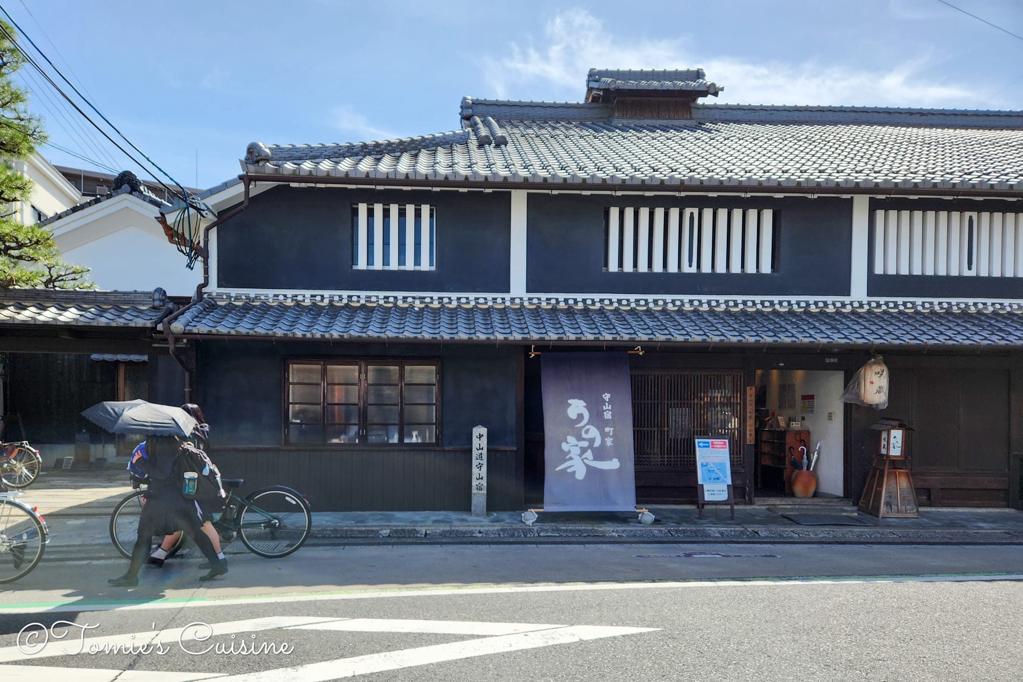
"Unoke (うの家)" is a machiya (town house) that was built in the Edo period and used to be a sake brewery. Now, they are operating as both a museum and a restaurant.
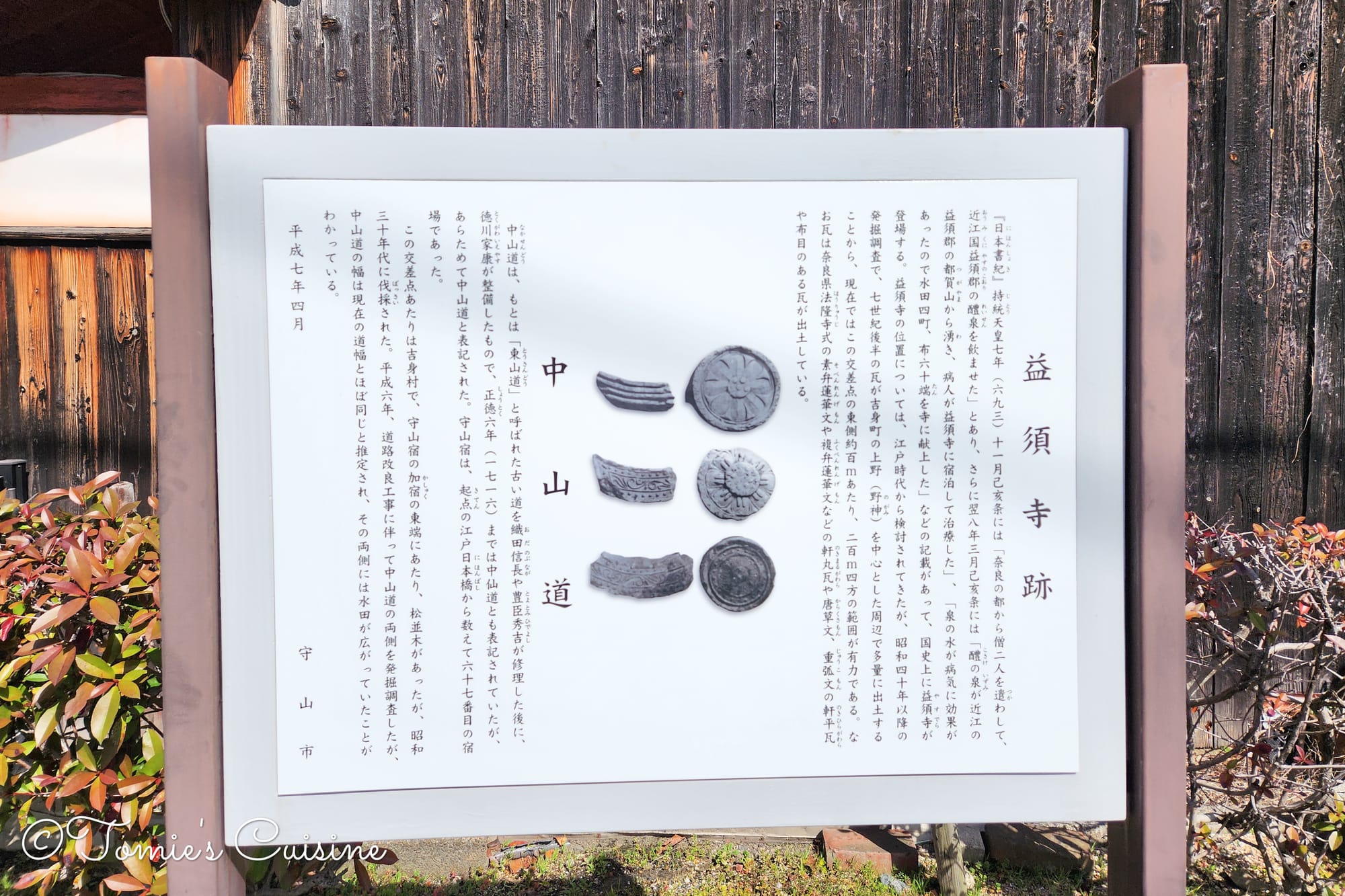
An explanation board for Yasu temple ruins (益須寺跡) (left), located right next to the road. (right)
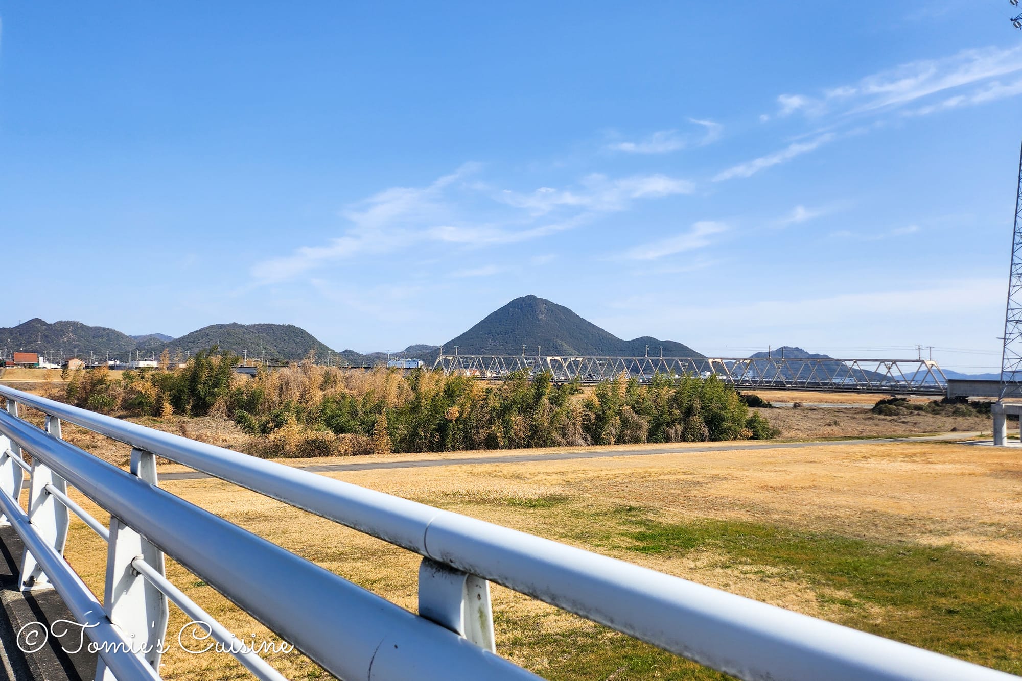
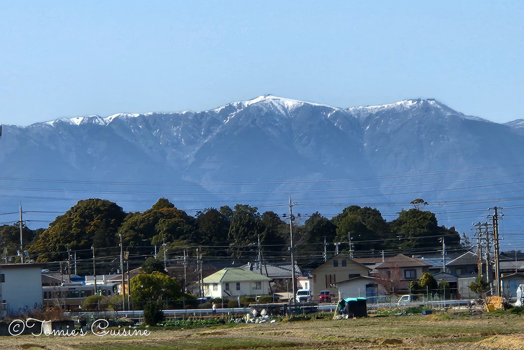
This mountain is known as Mount Mikami (三上山) and is also referred to as Omi Fuji (近江富士) due to its resemblance to Mount Fuji.
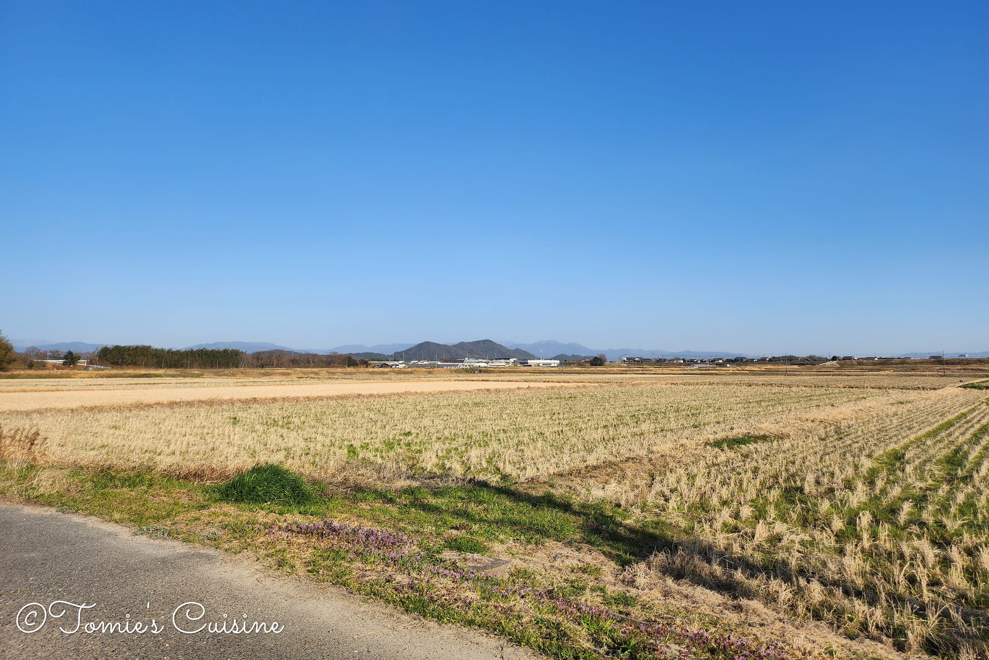
1:40 pm The mountain views were stunning as we walked along the trail.
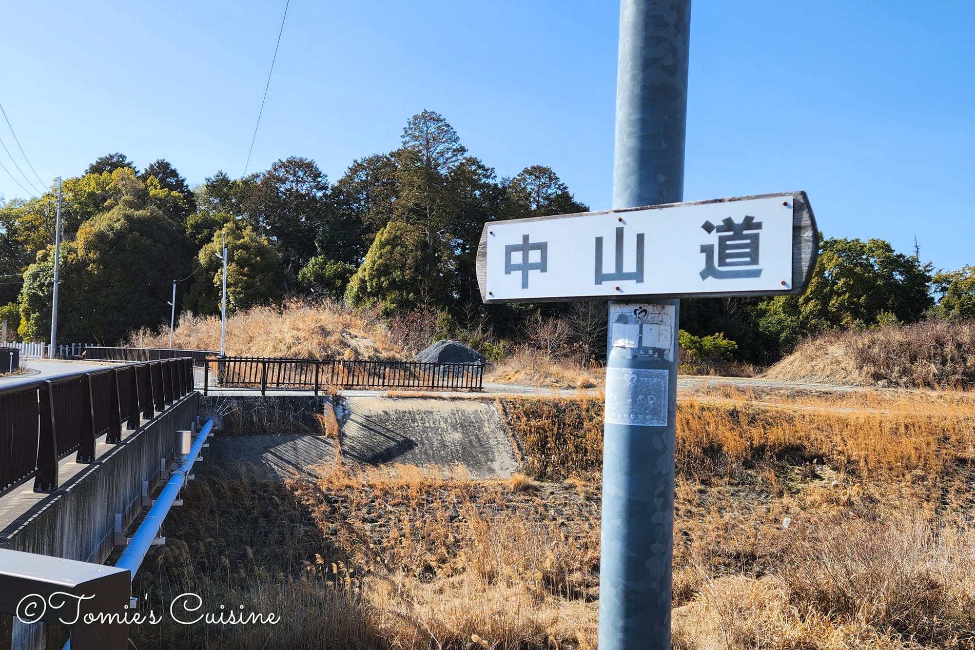
A few Nakasendo signs on the way made us happy, as they are sometimes few and far between.
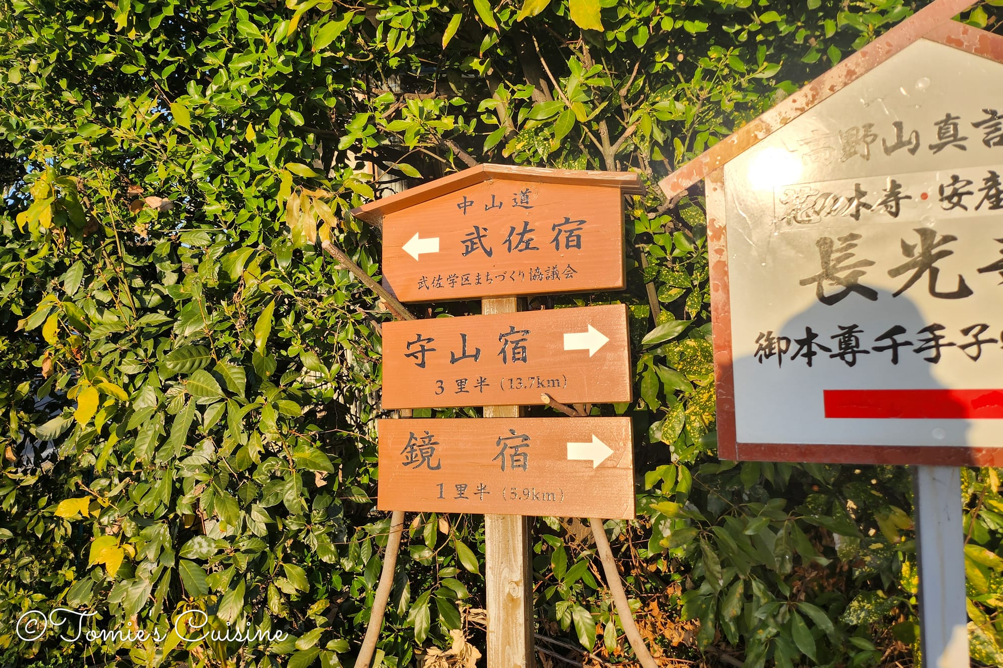
3:27 pm We saw a sign for "4 Ri (里) to Musa post town”, which is about 16km. However, our maps showed the actual distance from our spot to Musa was about 7km. The sign must have marked the distance from Moriyama.
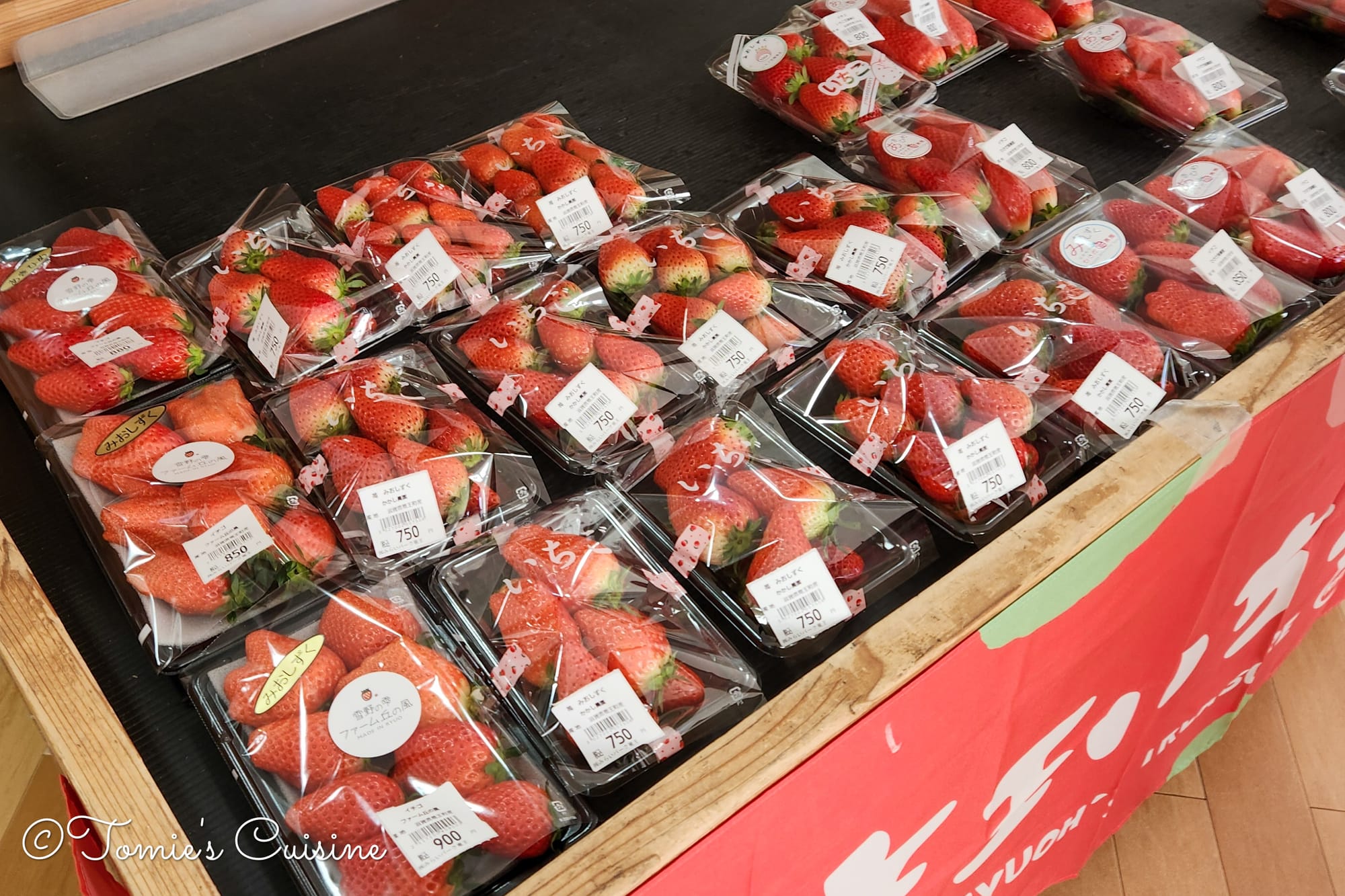
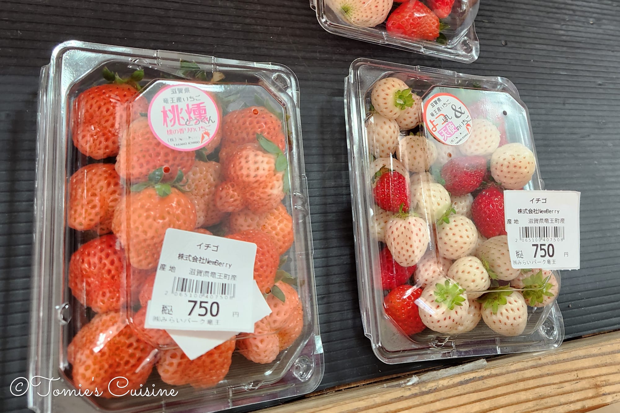
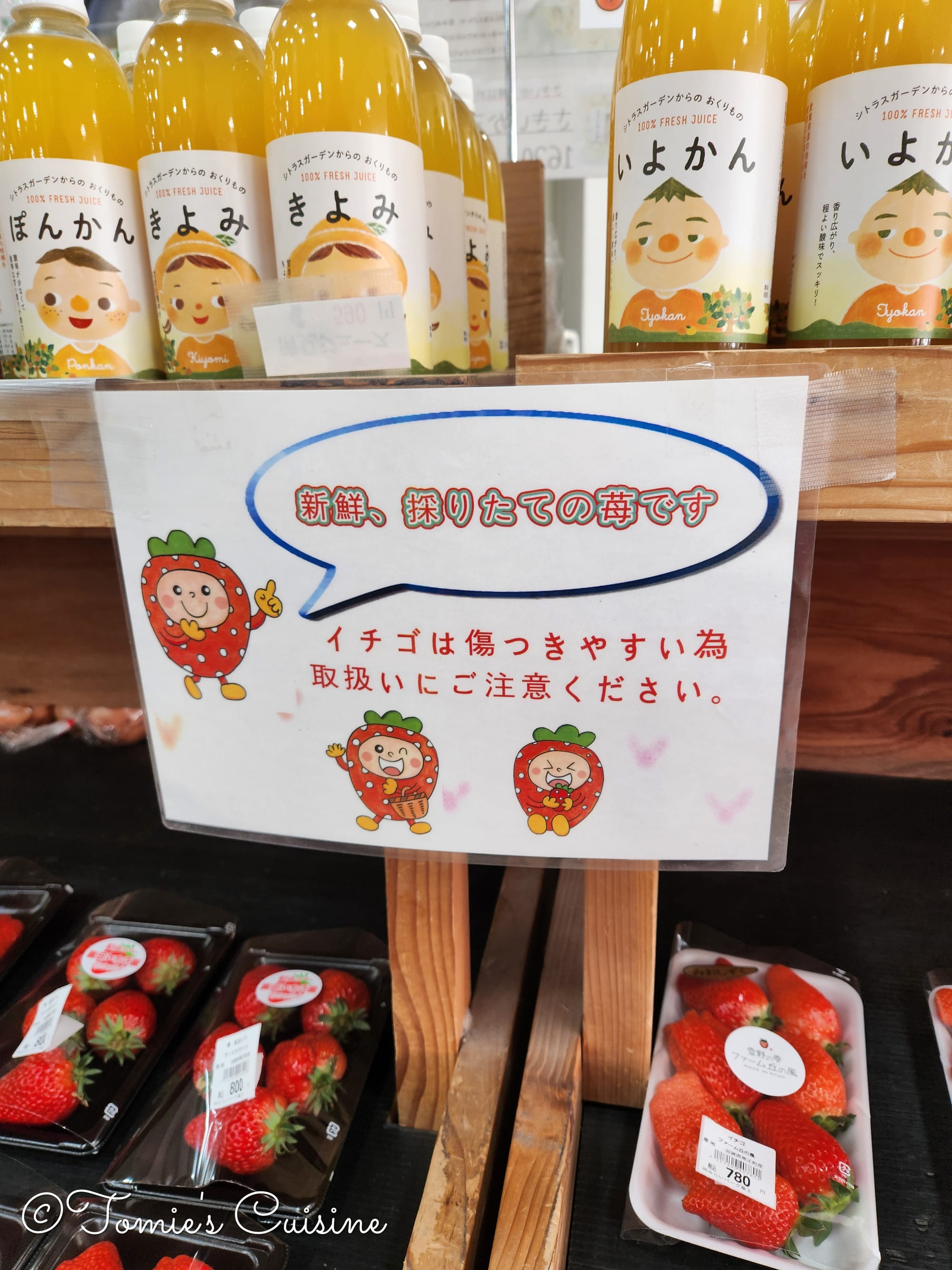
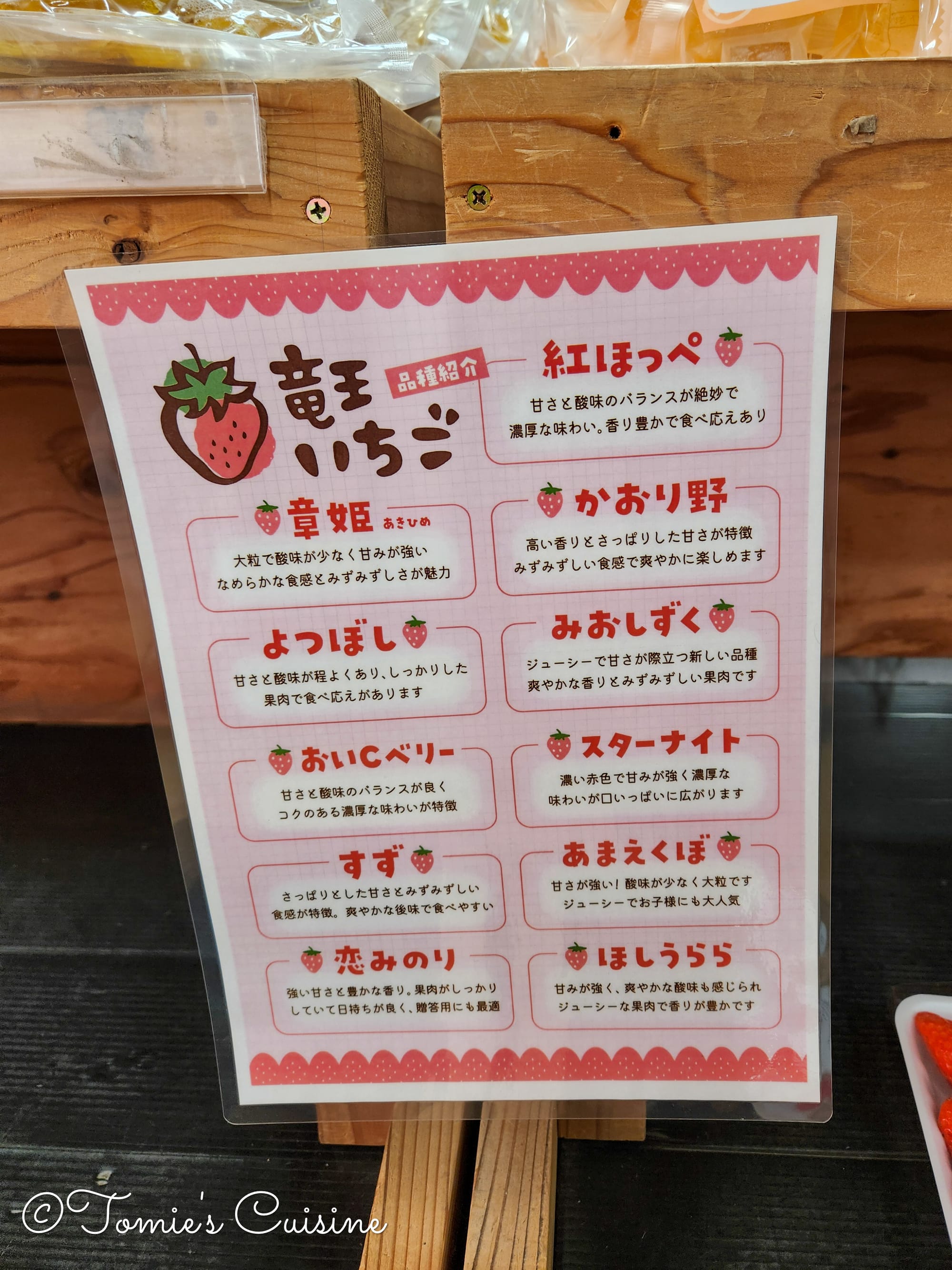
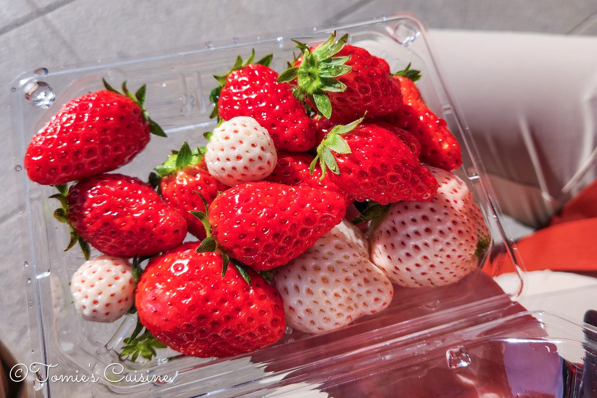
The sign warns that the strawberries are freshly picked and should be handled with care. The other sign displays the different varieties of local strawberries and describes the taste of each one.
We were especially drawn to the numerous varieties of strawberries, so we bought a mixed pack to try on our break. It was a delicious and fragrant snack, although the white strawberries weren’t as tasty as we expected.
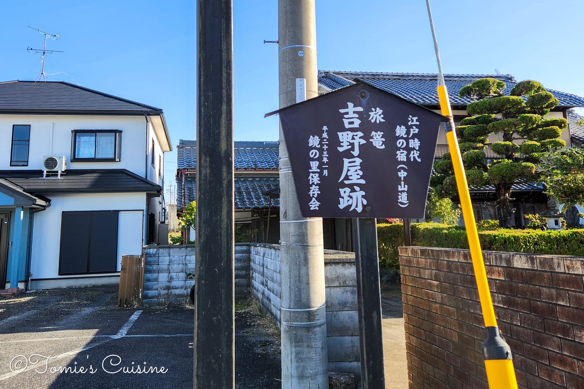
It seems like there was an Inn called "Yoshinoya", but all we could see was the sign. (right)
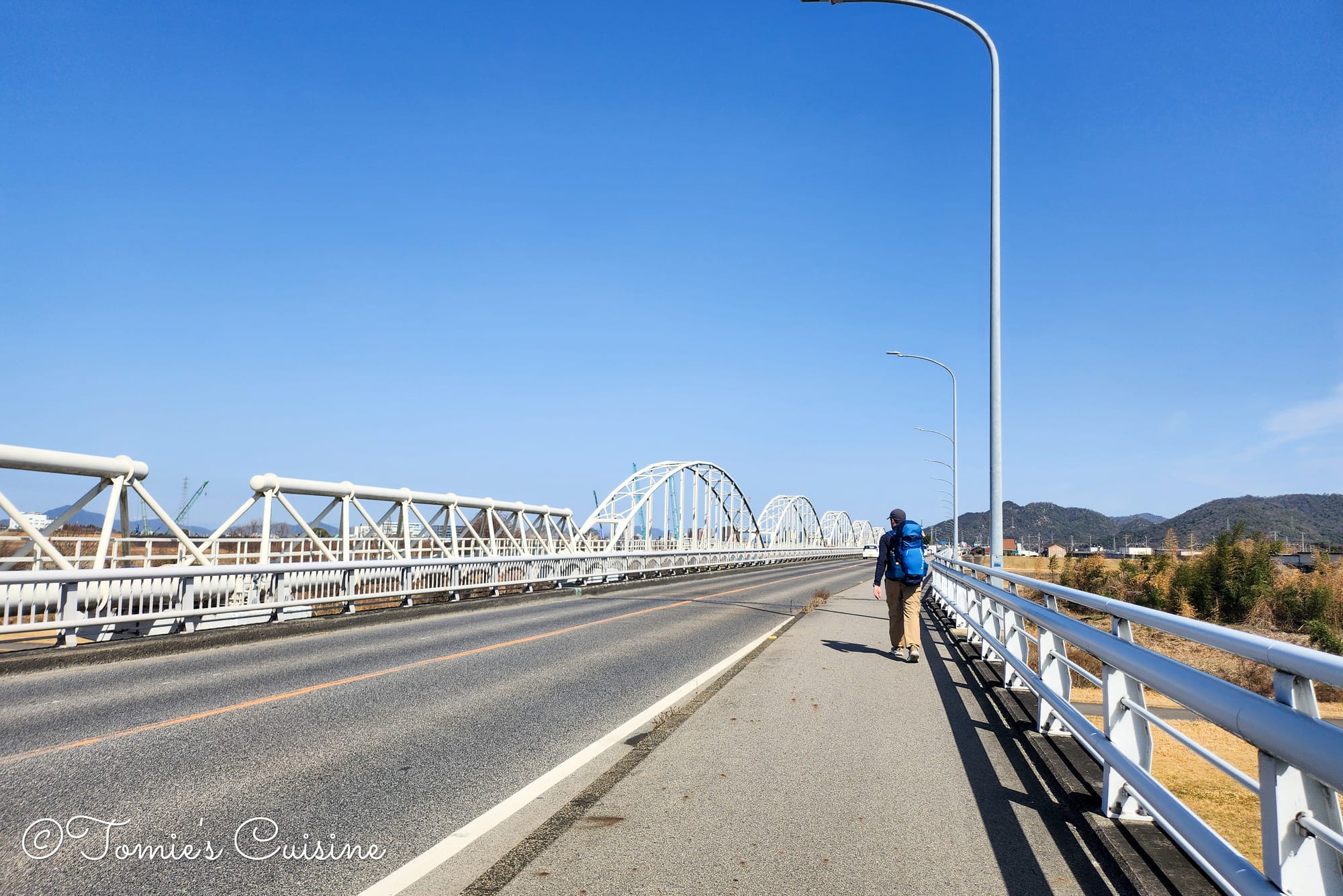
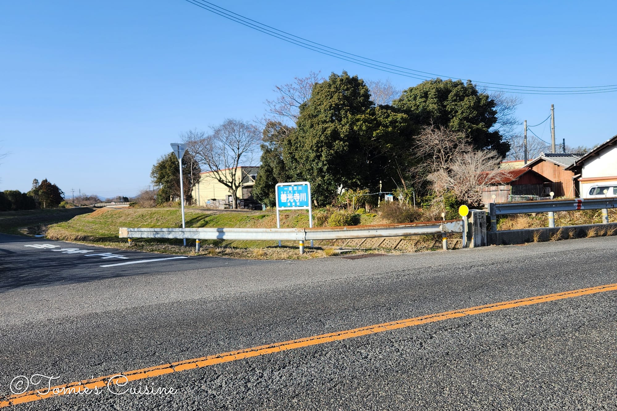
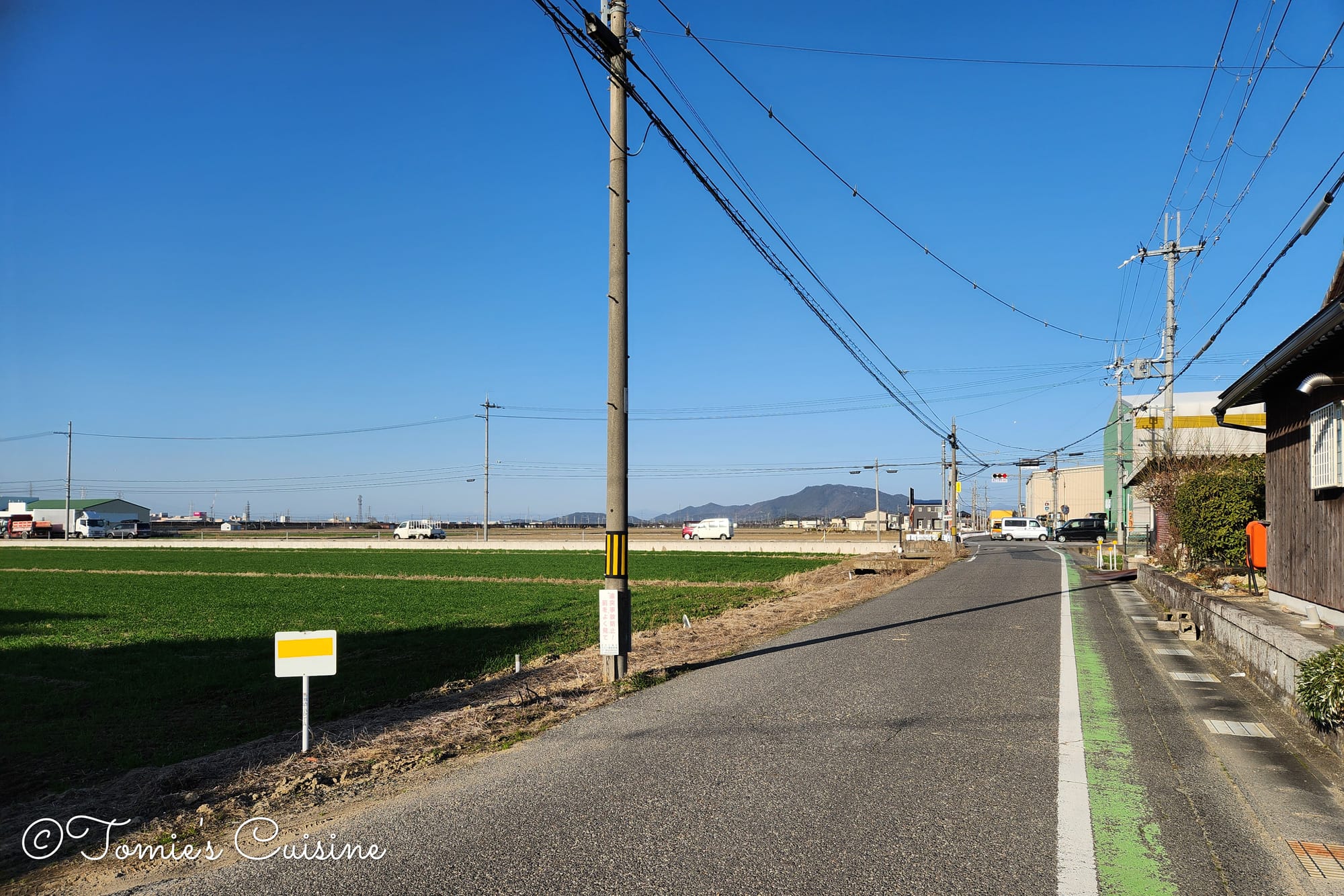
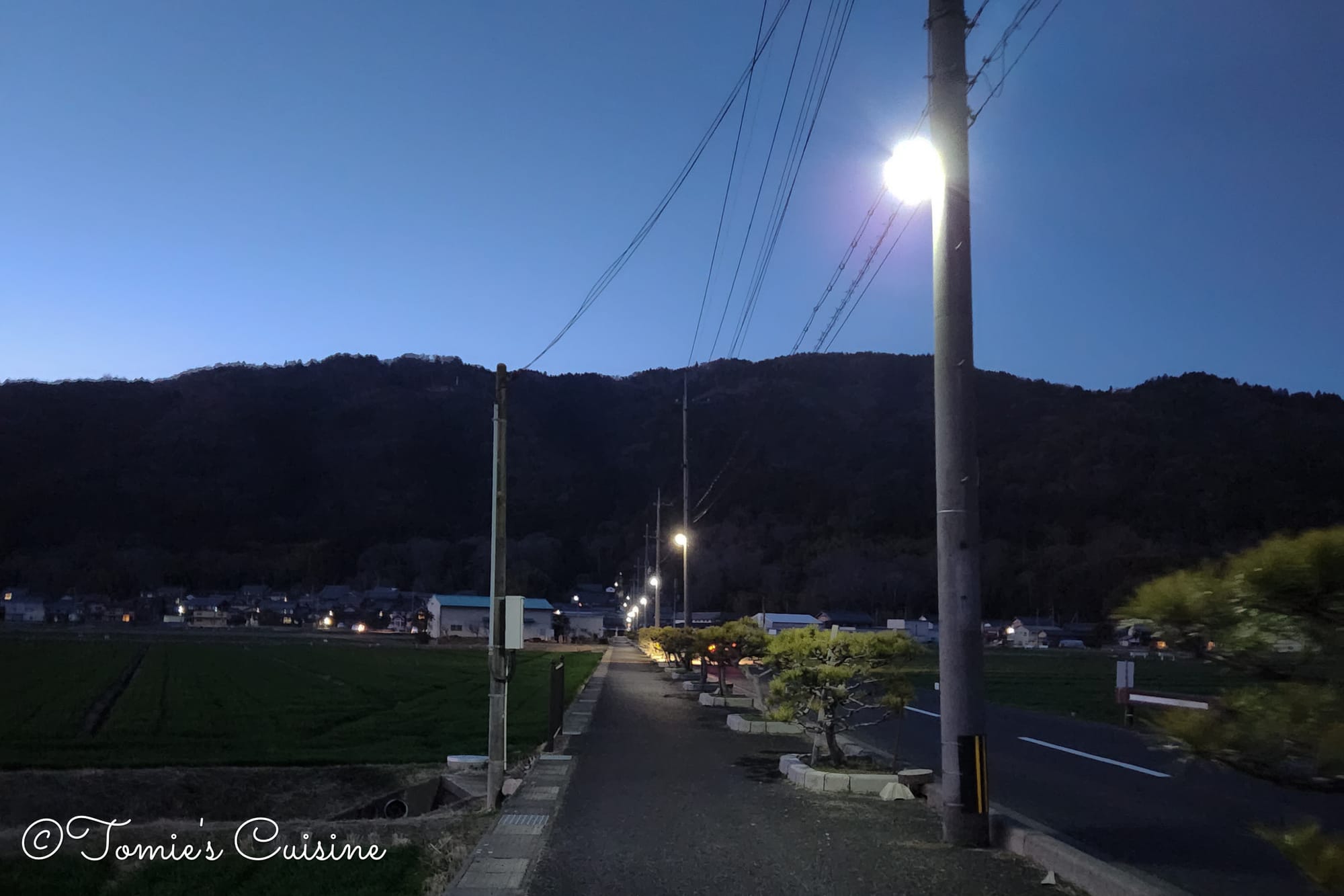
3:55 pm Back on the road, we walked on a narrow path next to traffic before the trail turned into a calm road that passed through peaceful rice fields.
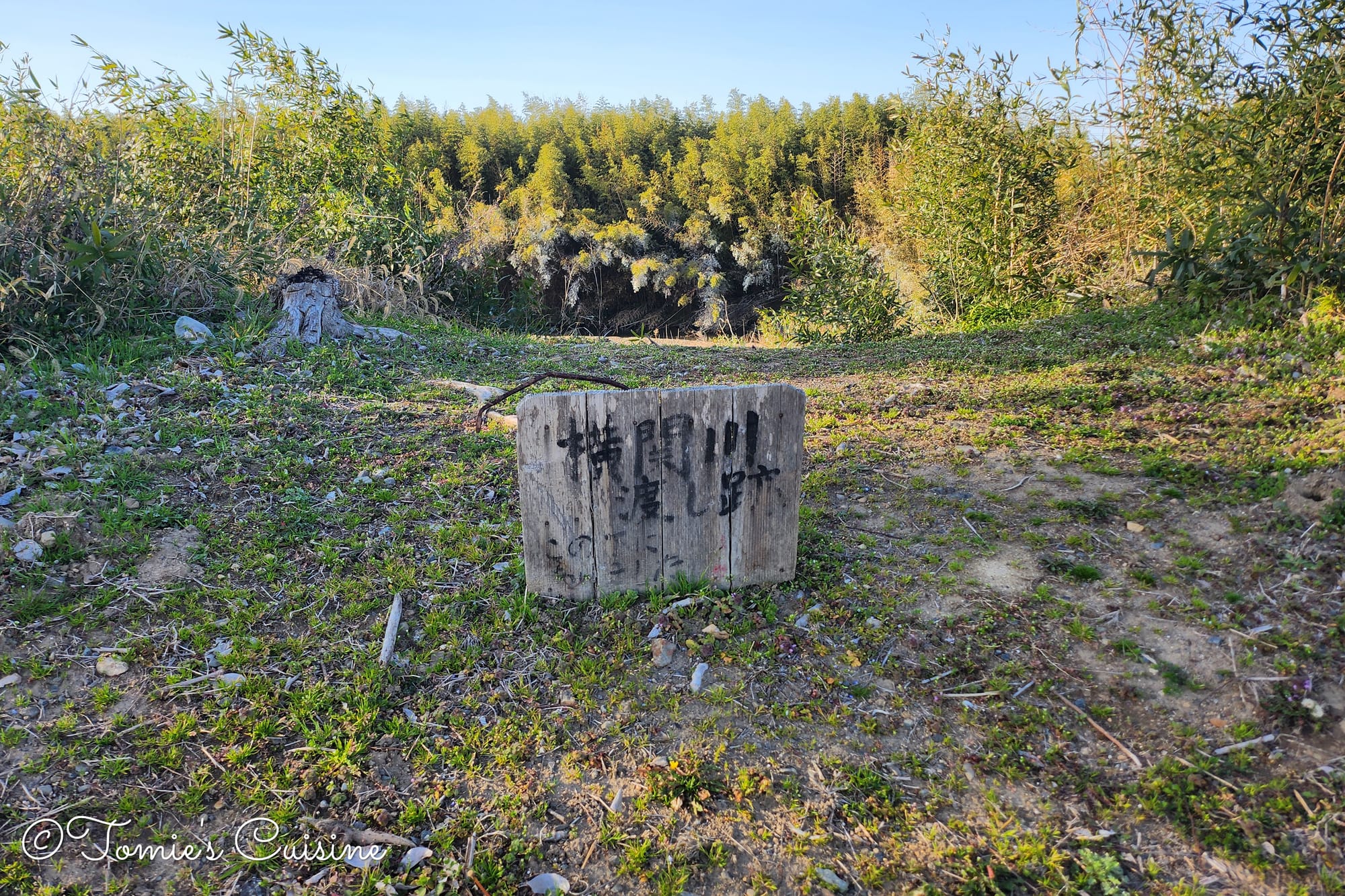
The photo on the right shows a stone inscribed with the words "Yokozeki river crossing ruin (横関川渡し跡)". That place was featured in a ukiyo-e print by the artist Utagawa Hiroshige.
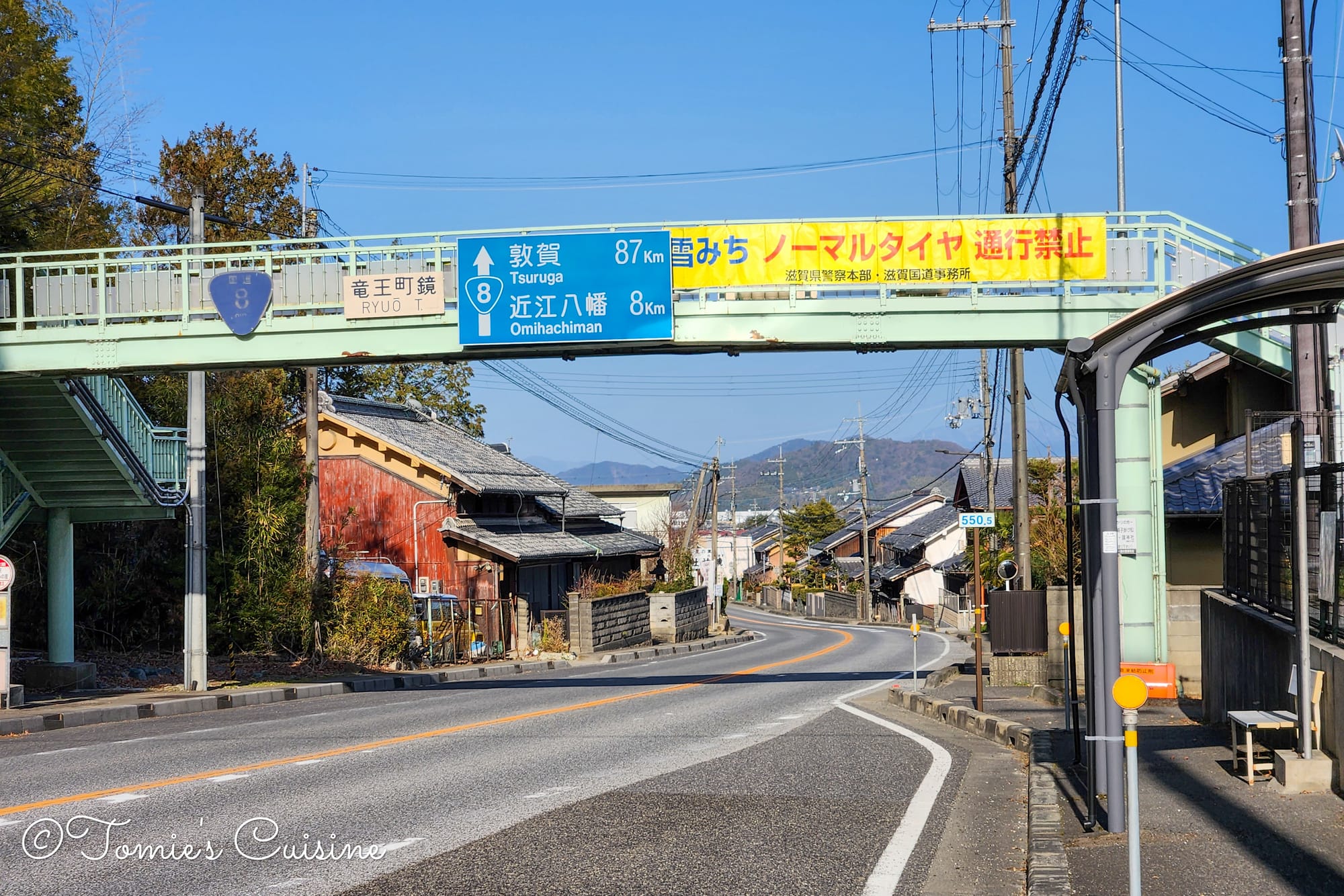
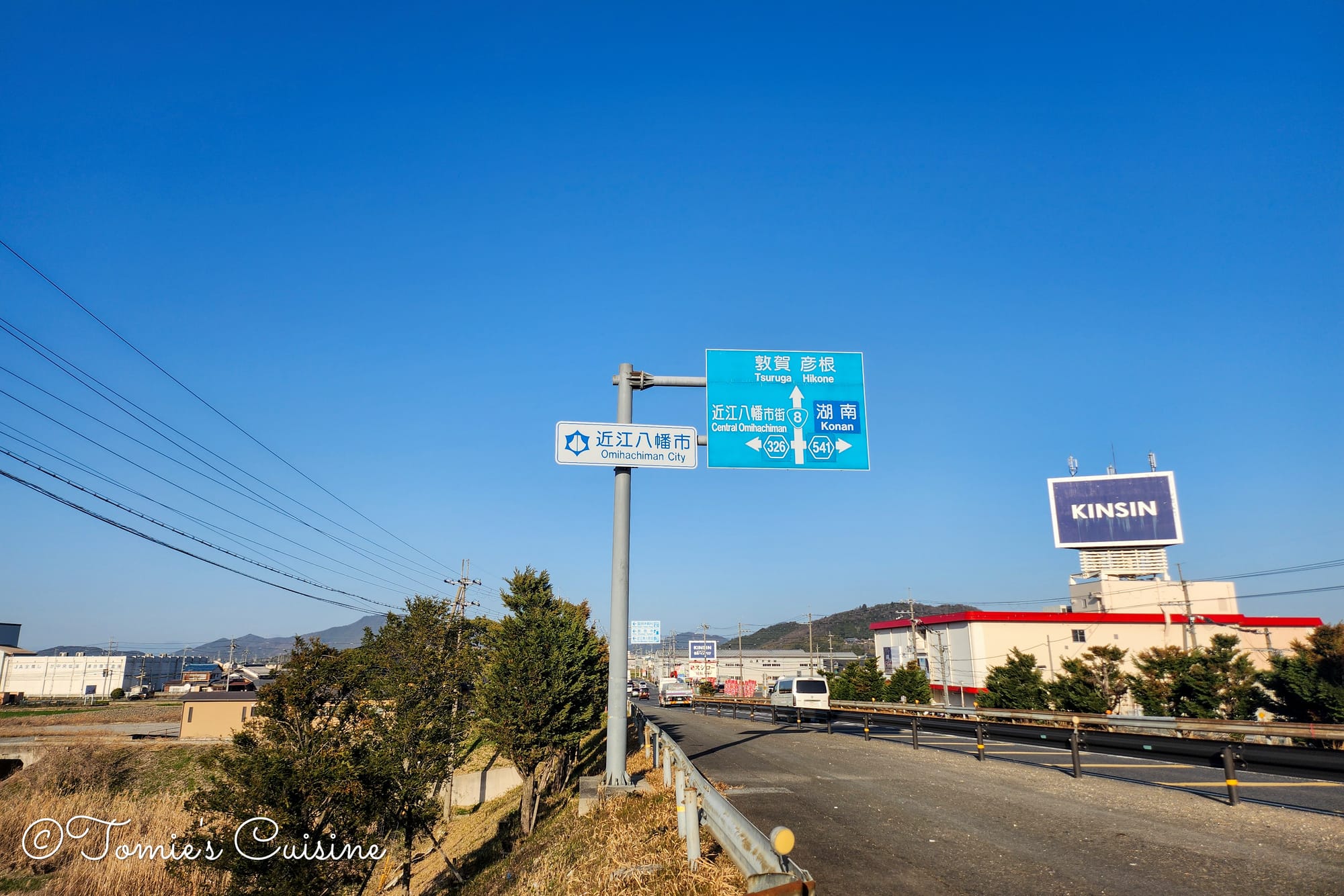
4:30 pm We were happy to see a sign for Omi Hachiman City! We recalled our last trip there and looked forward to going back someday.
As dusk settled in, we saw a signboard written Musa-Shuku without the distance. This sign means Musa-Shuku is nearly there.
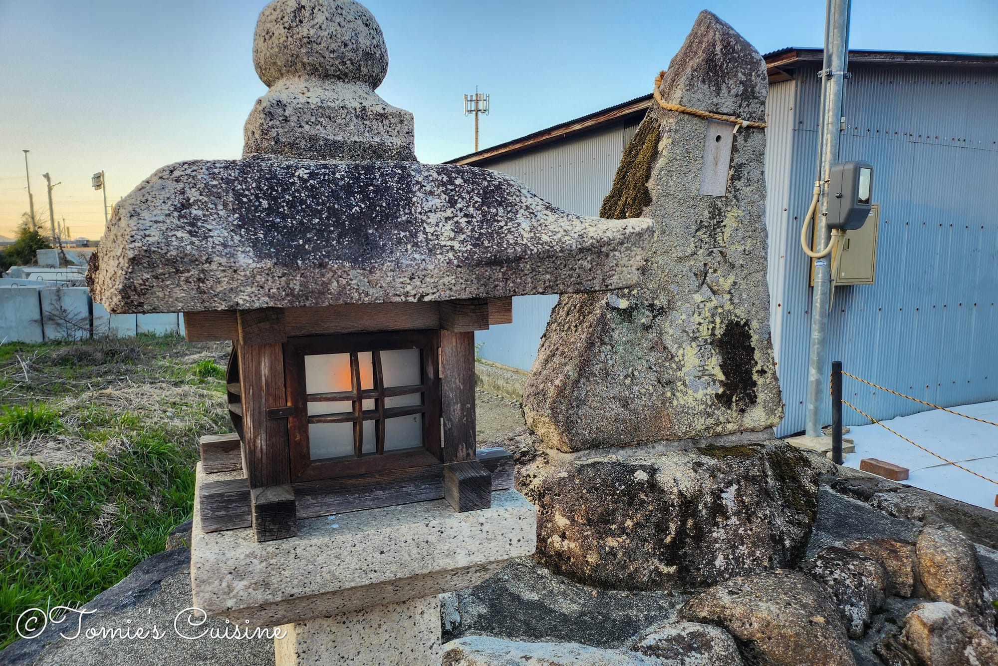
When we reached a stone monument and a lantern, a local gentleman emerged from his house. He told us that he saw us arrive and came out to light the lantern for us. He explained that the monument was a kitchen (fire) god, and is protecting the area. His small act of kindness was a genuine and heartwarming moment for us on a long day of walking.
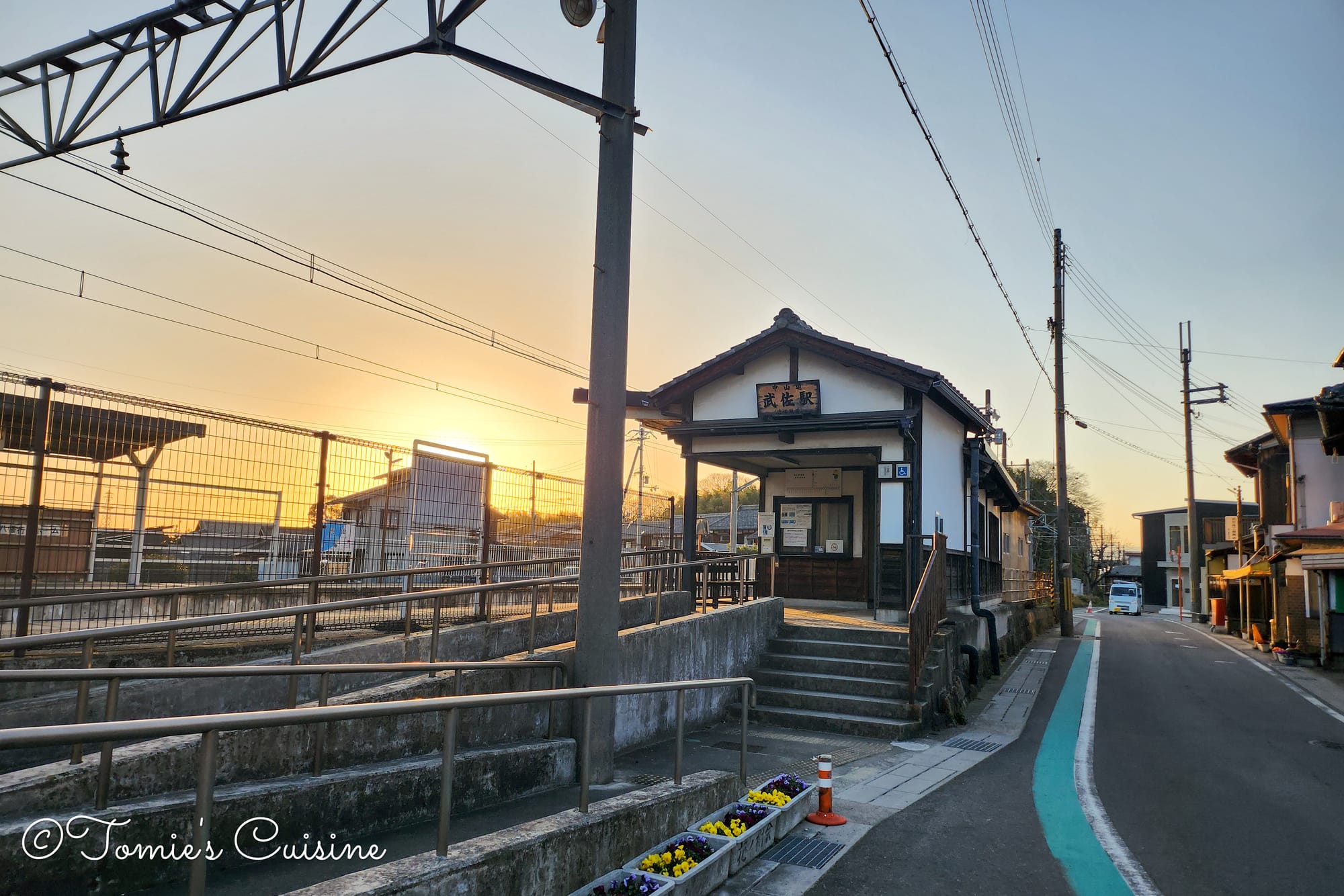
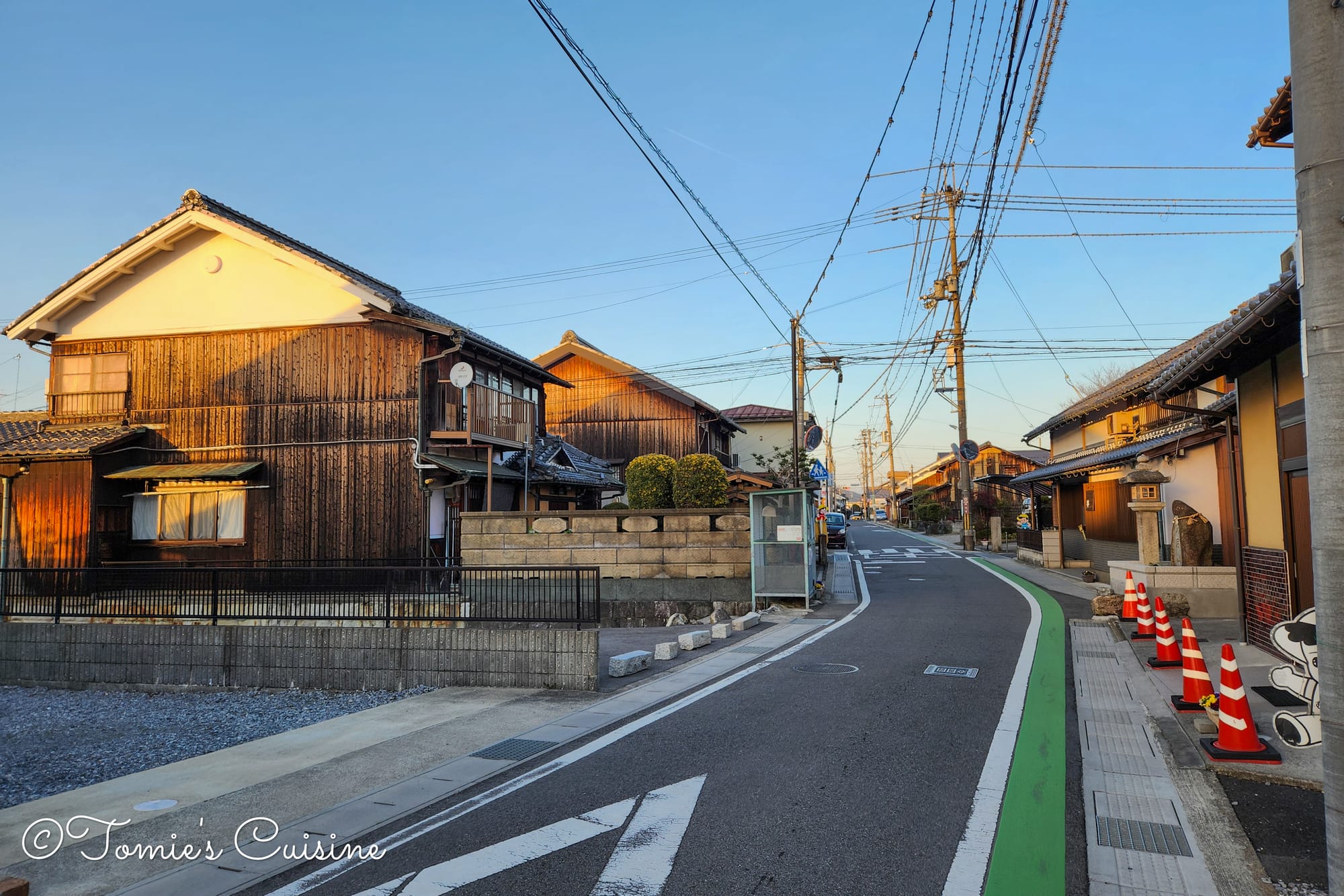
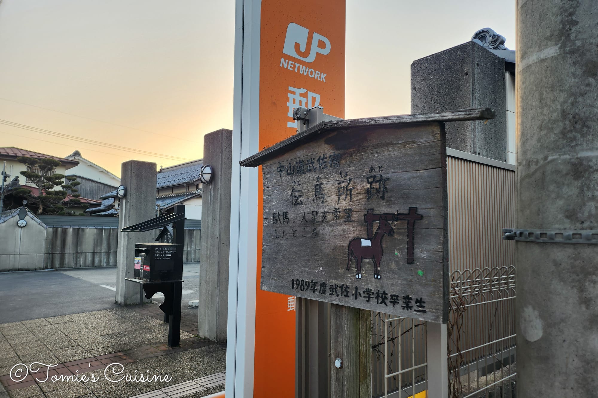
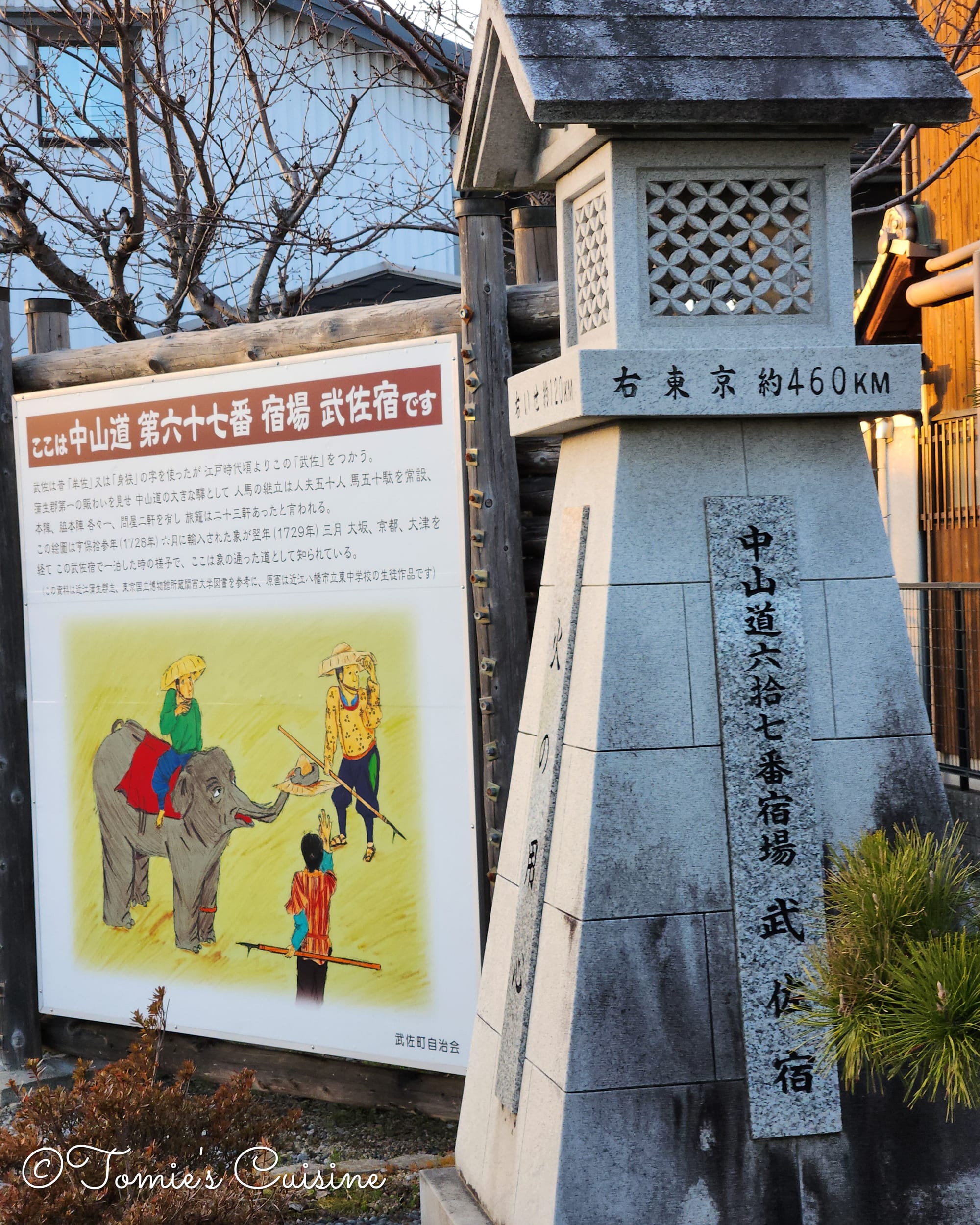
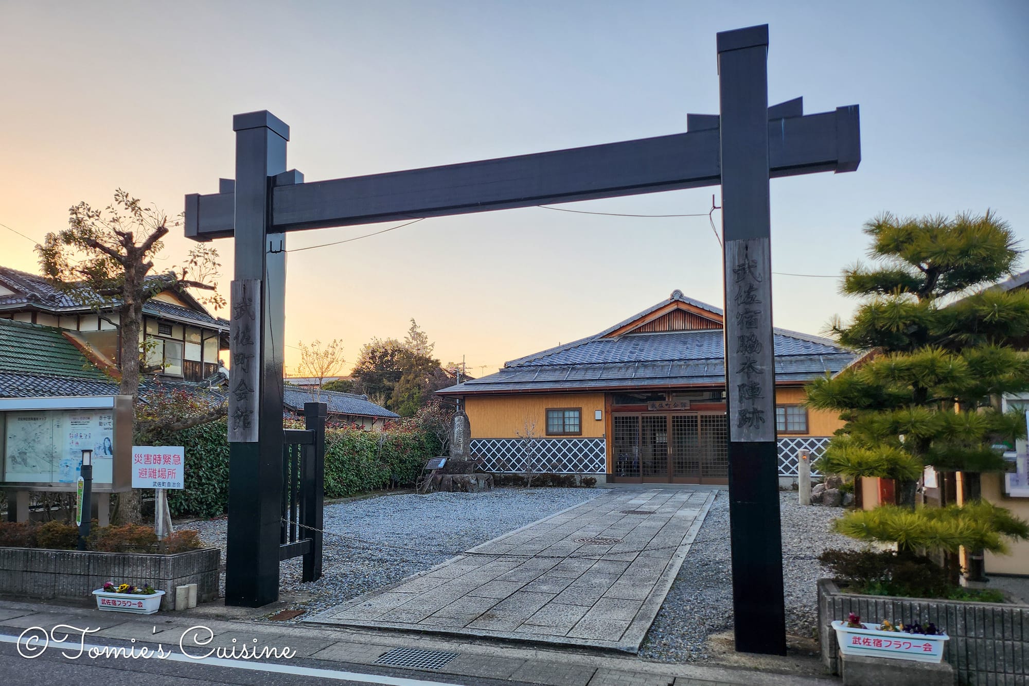
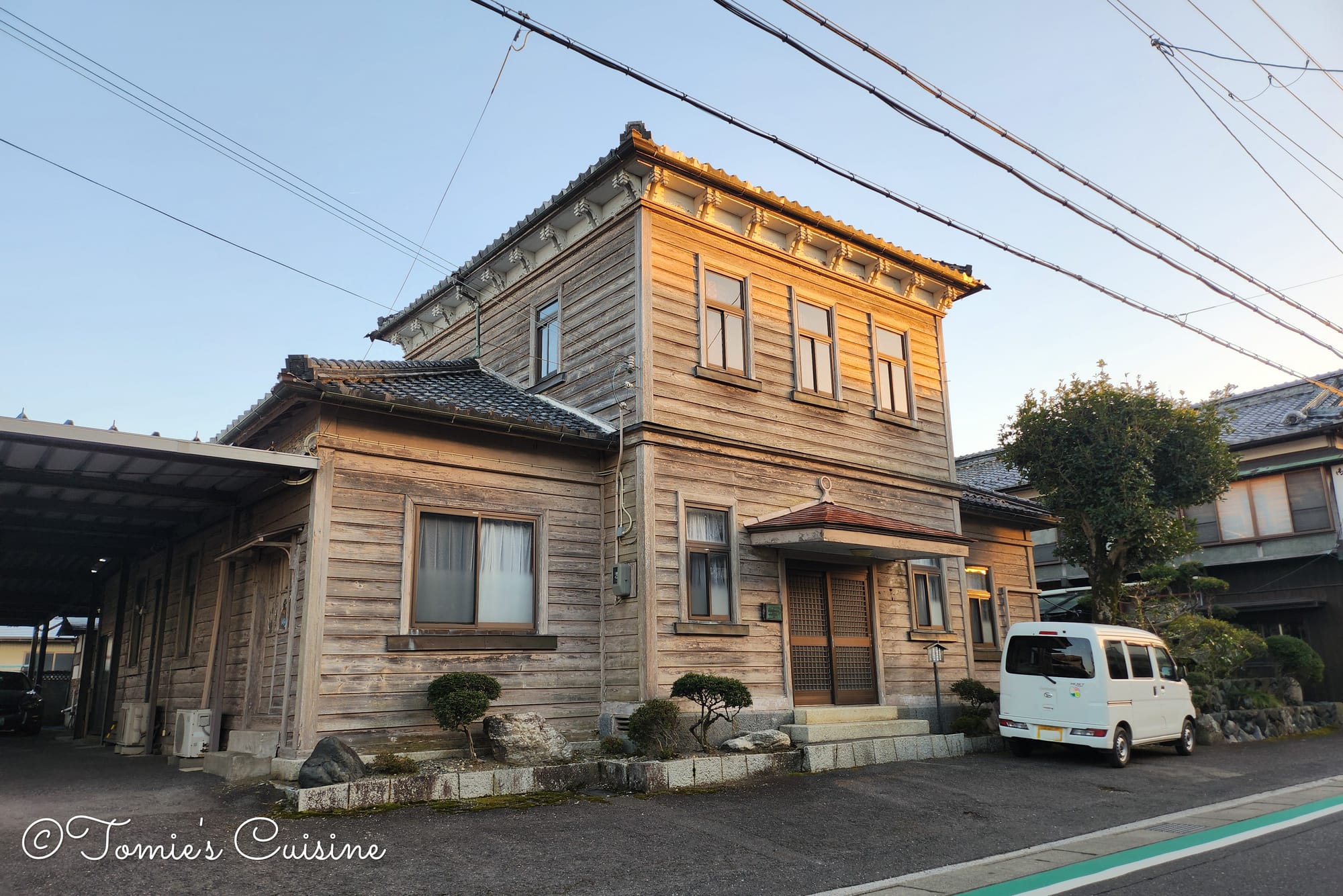
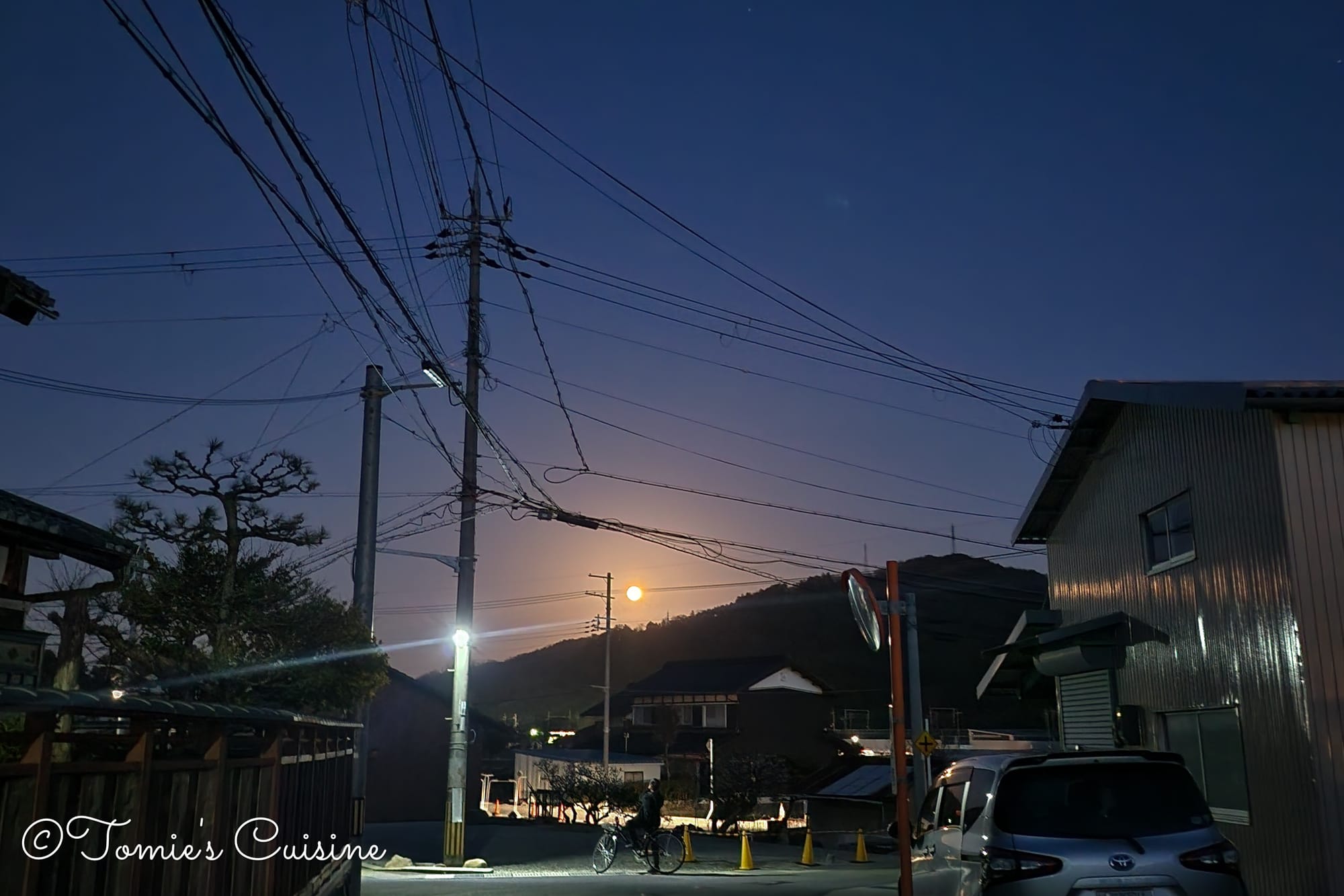
5:30 pm We arrived in Musa just as dusk began to settle.
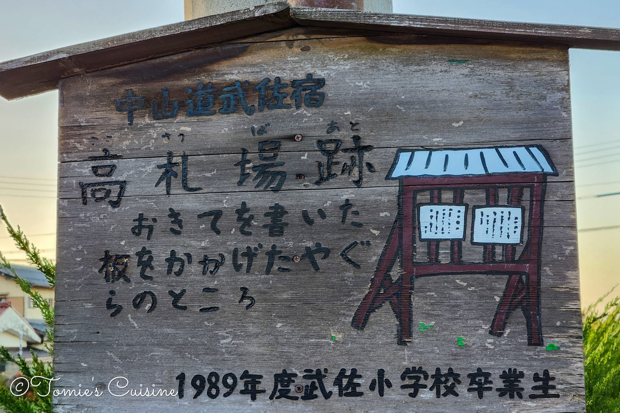
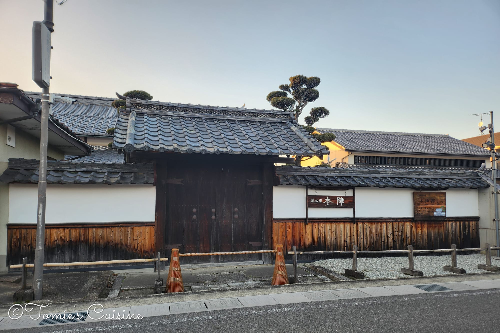
Near the train station, a lantern marks the location of the former Kosatsuba (高札場), which served as a public notice board. What makes this town unique is that the local elementary school students created the information boards. We also visited the historical Honjin, but unfortunately, it was closed.
An interesting historical fact about Musa is that it served as a resting spot for an elephant that journeyed from Nagasaki to Edo (Tokyo) in 1728 to meet the shogun.
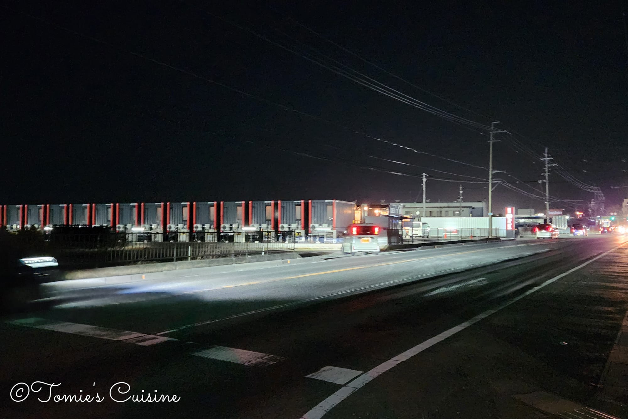
6:30 pm It was now completely dark, so we turned on our torches and put reflective gear on our backpacks to stay safe.
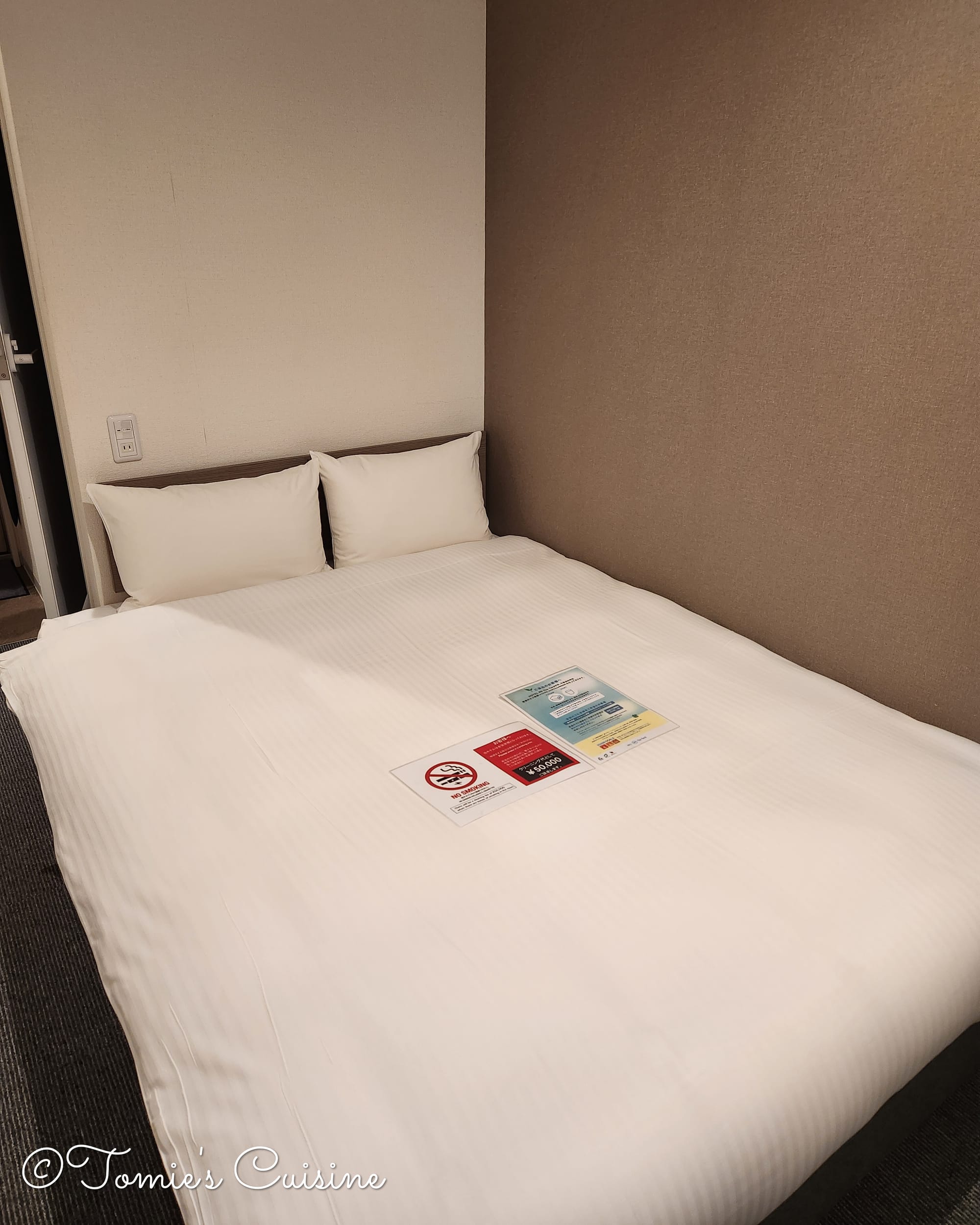
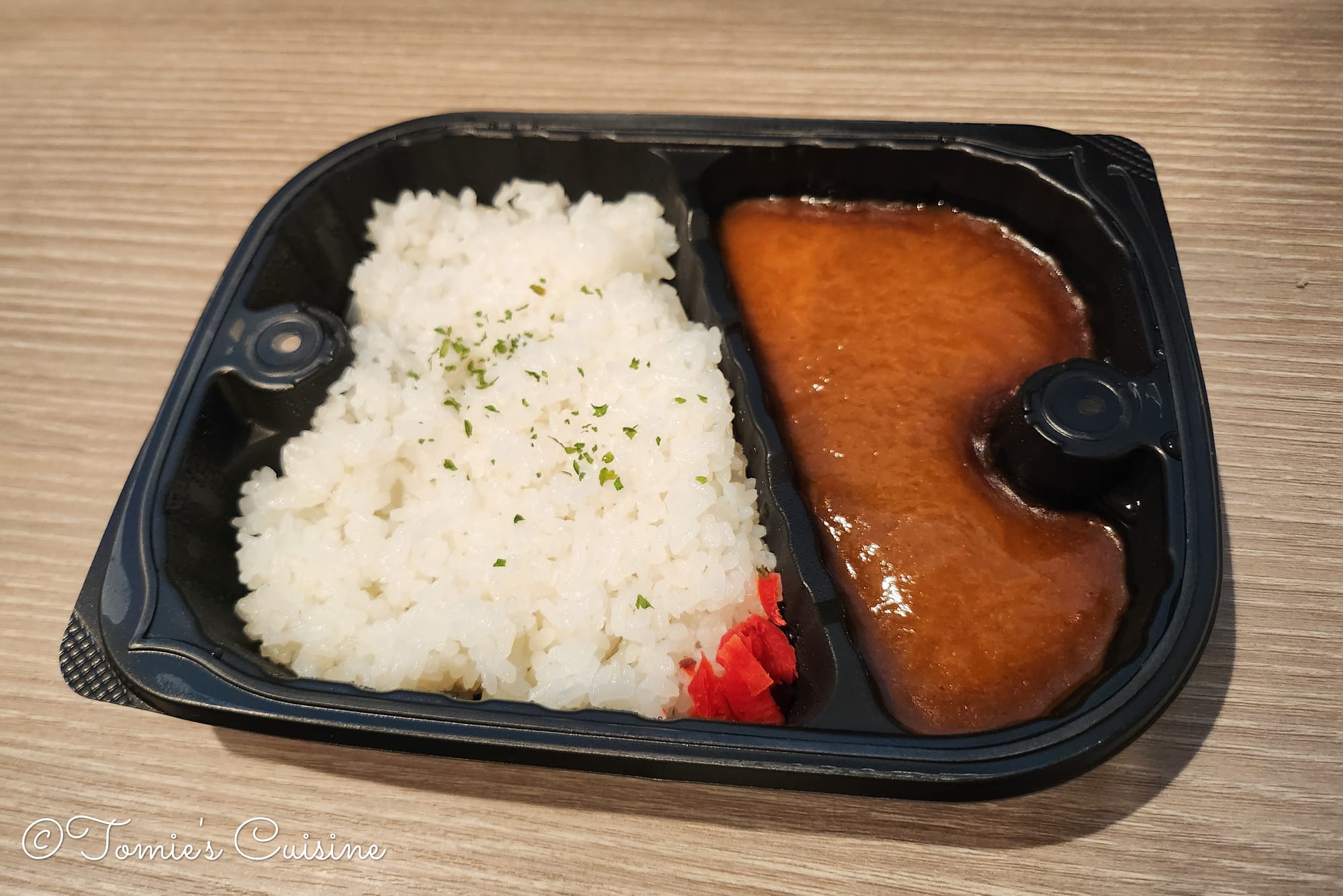
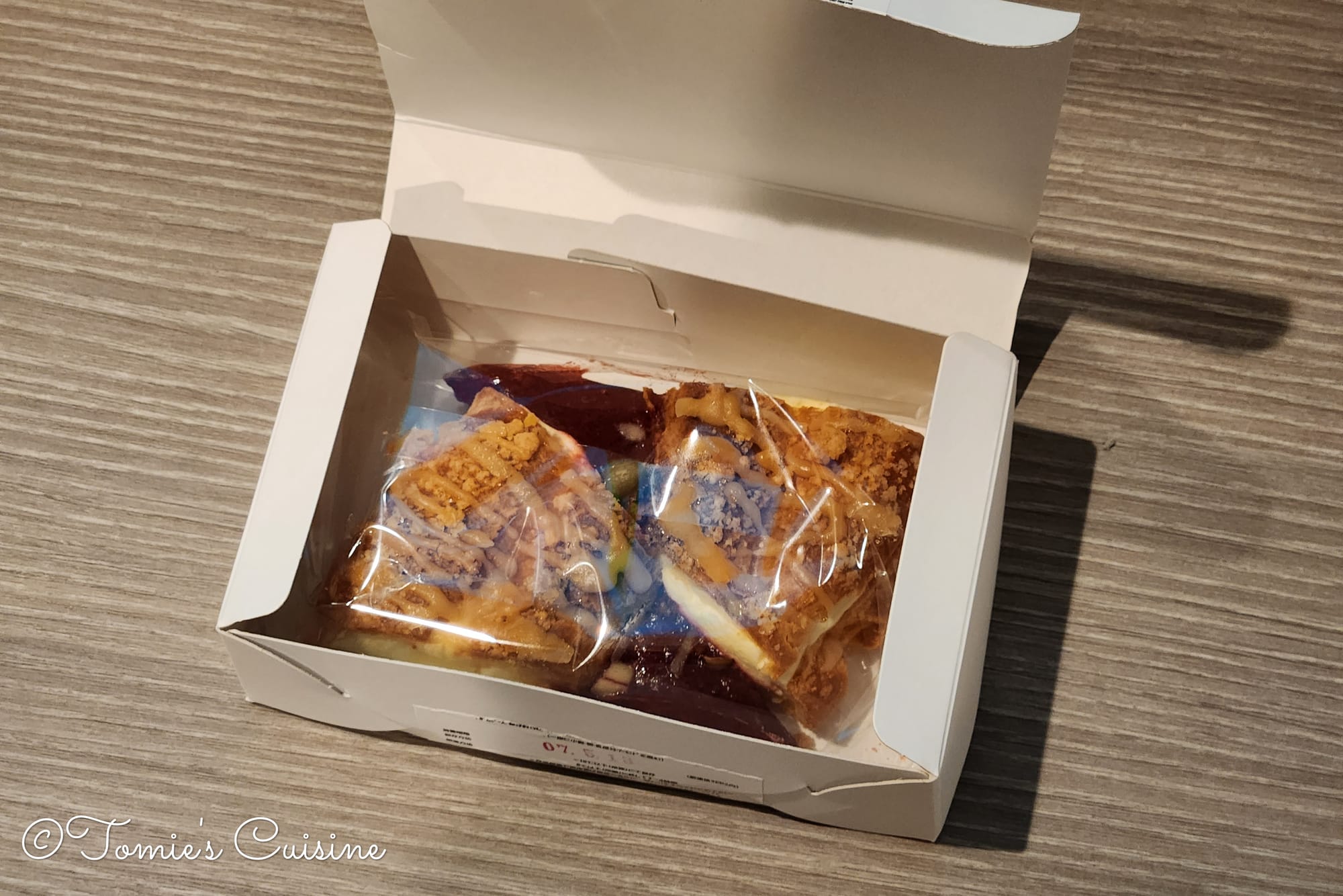
It's a fascinating place with rooms made from shipping containers, yet they feel just like a typical business hotel inside. They provided frozen meals that we could microwave, which was a huge help since we were too tired to go out for dinner.
The first injuries start creeping in
That night, my right shin was hurting and swollen. The unforgiving pavement of the Nakasendo was the complete opposite of the soft trails that we were used to walking on in England. Thankfully, we were prepared and had broughta cooling gelwith us to help soothe the pain and speed up the recovery process.
Closing Thoughts
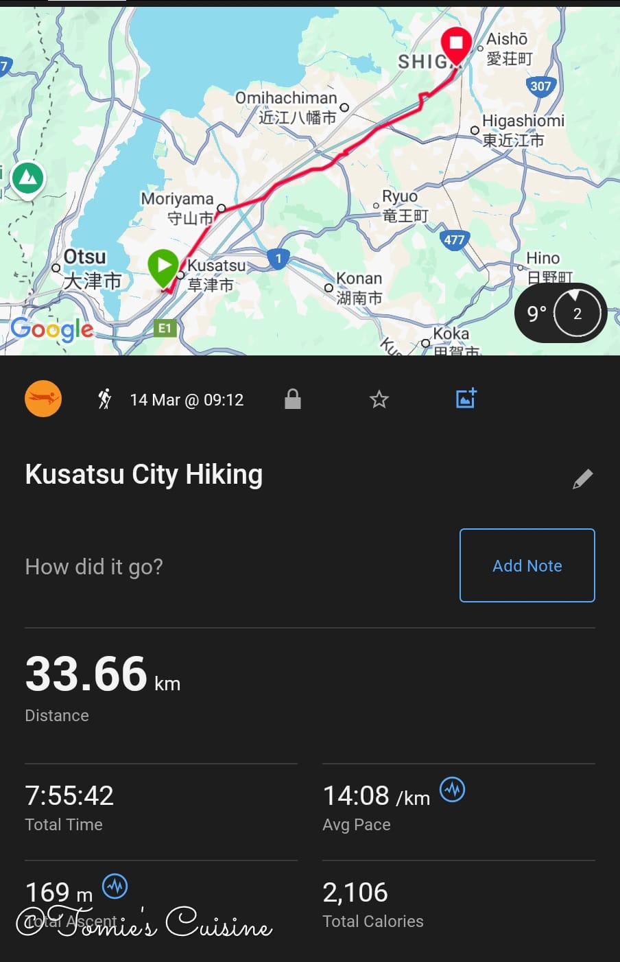
Day complete!
After a 33.66km walk, there's nothing better than a hot bath to relax tired muscles, a luxury many Japanese hotels offer.
Day 3 will be another long day as we hike through Echigawa, Takamiya, Toriimoto, Banba, Samegai, and Kashiwabara.
To follow the rest of our Nakasendo adventure, be sure to sign up for our free newsletter!
If you have questions or would like to see more photos from our journey, please feel free to visit our Instagram, Pinterest, or Facebook pages. We're happy to answer any questions you have.
This post is for subscribers only
Sign up now to read the post and get access to the full library of posts for subscribers only.