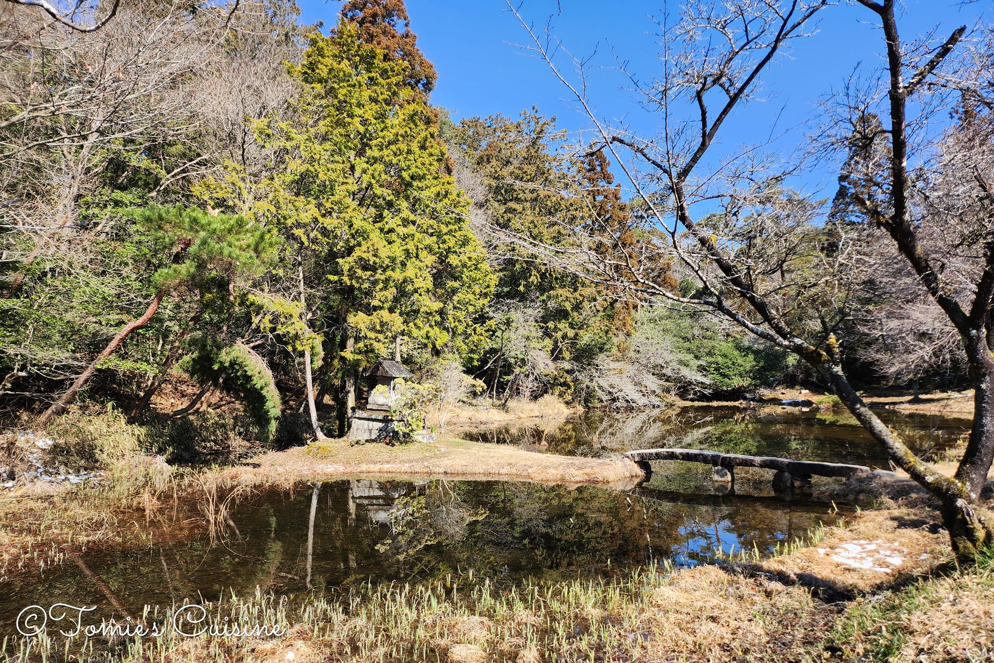
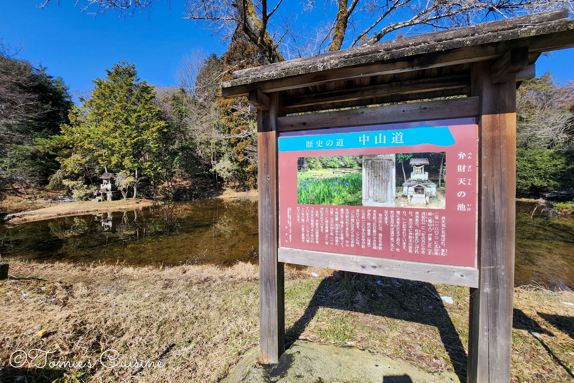
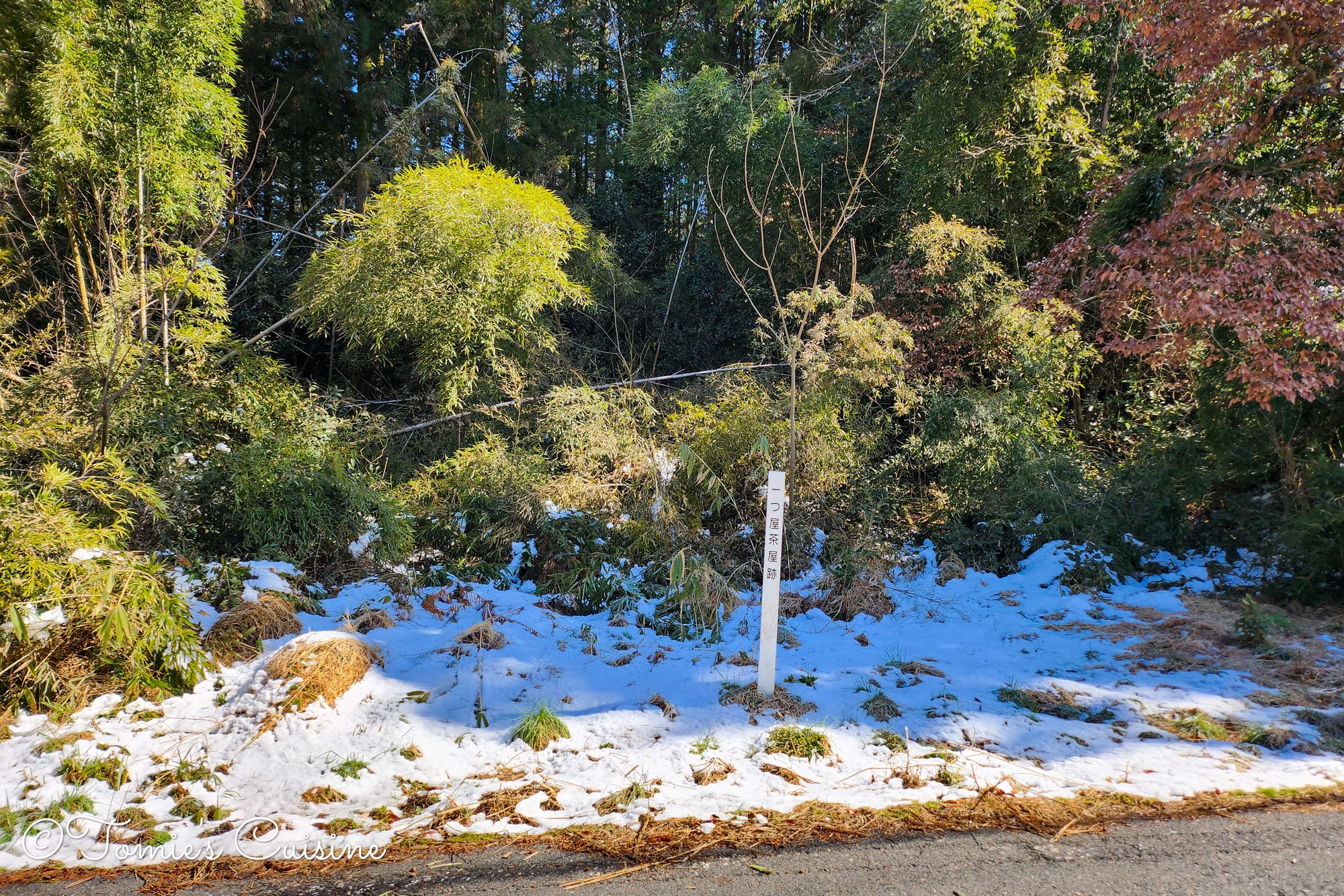
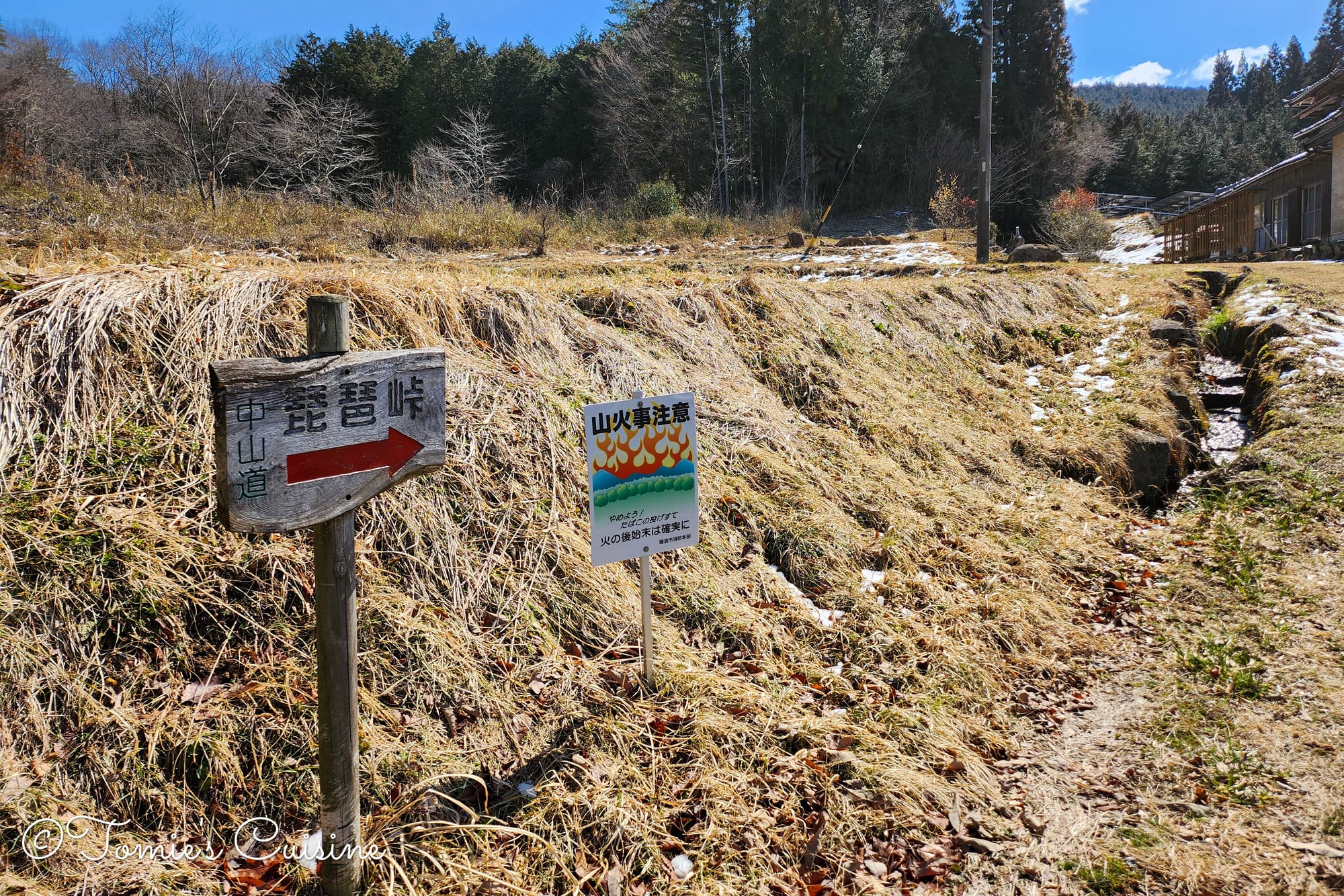
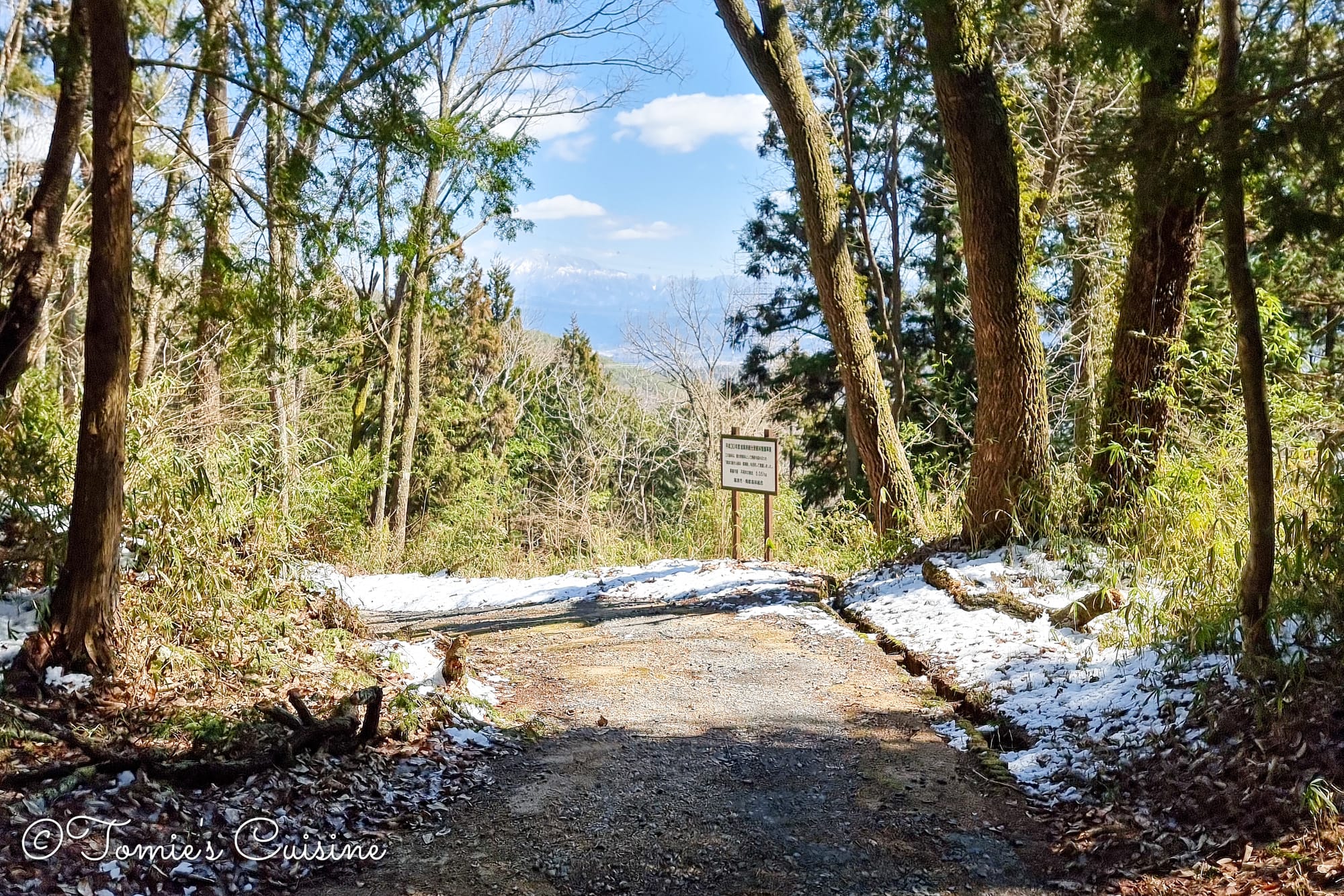
Sun after days of rain, a 730-metre stone-paved mountain pass, and a jizo statue headless since a traveller took revenge on it centuries ago. Day 8 takes us from Hosokute to Ooi through Gifu's Mino mountains, quiet post towns, hidden legends, and a dash to Hiroshige's ukiyo-e museum before closing.
As an Amazon Associate we earn from qualifying purchases.
Trip overview
On day 8, we took a taxi back to Hosokute post town to pick up the trail where we left off, this time heading over Biwa Mountain Pass, the highest point on the Nakasendo through the Mino area of Gifu, and home to one of the longest stretches of original stone pavement on the whole trail. From there, we pass through Okute, a small, remote post town, cross Jusan Pass, and make our way to Ooi, with a reported road closure between Okute and Ooi hanging over the day. We'll find out whether the path is actually blocked, and whether we make it to the Nakasendo Hiroshige Museum before it closes.
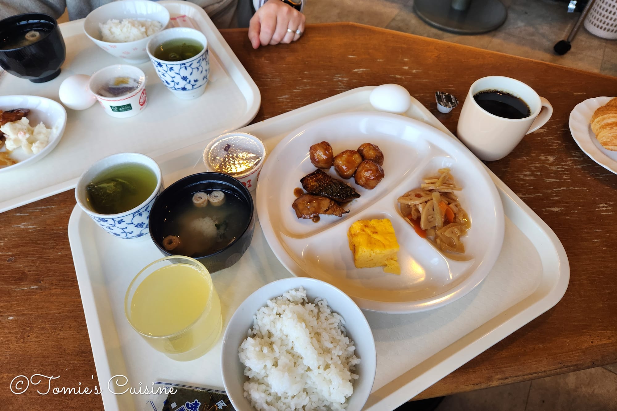
Until the day before, we hadn’t realised breakfast was included, so it was a great surprise. They offered quite a variety of food, both Japanese and continental, and the quality was decent. The buffet-style breakfast was served downstairs near the lobby. The hotel isn’t new and has a retro vibe, which is probably why the price was so reasonable. They also offer free cup noodles, which we thought was very generous of them.
8 am Leaving the hotel and meeting up with the taxi
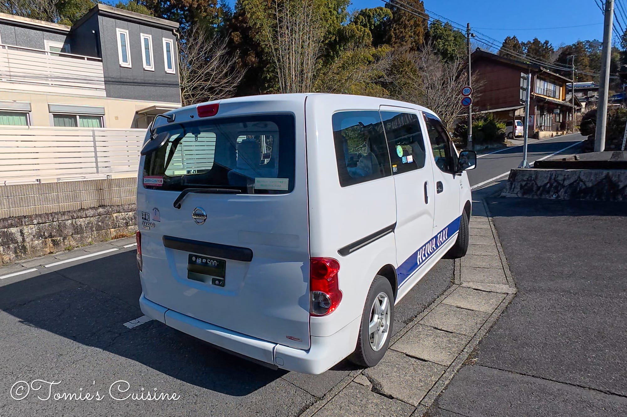
The day before, we’d asked the taxi driver to pick us up at Mizunami station and take us back to Hosokute post town. This time we hired the driver privately, so it was the standard taxi fare. She was waiting for us at the station right on time.
A small mix-up along the way
Thank you for the ride! The driver was very nice. 10/10!
After a while, I noticed we were on a different road from the one we’d taken the day before. I wasn’t sure at first, so I checked Google Maps on my phone and saw the taxi was heading to Okute instead of Hosokute. I asked the driver if she was taking us to Hosokute, and she told us she’d misunderstood the destination. I should have double-checked with her when we got in, so I apologised. She kindly took us on to Hosokute, and we appreciated her turning back for us. She wished us the best of luck for the rest of the Nakasendo hike before she left.
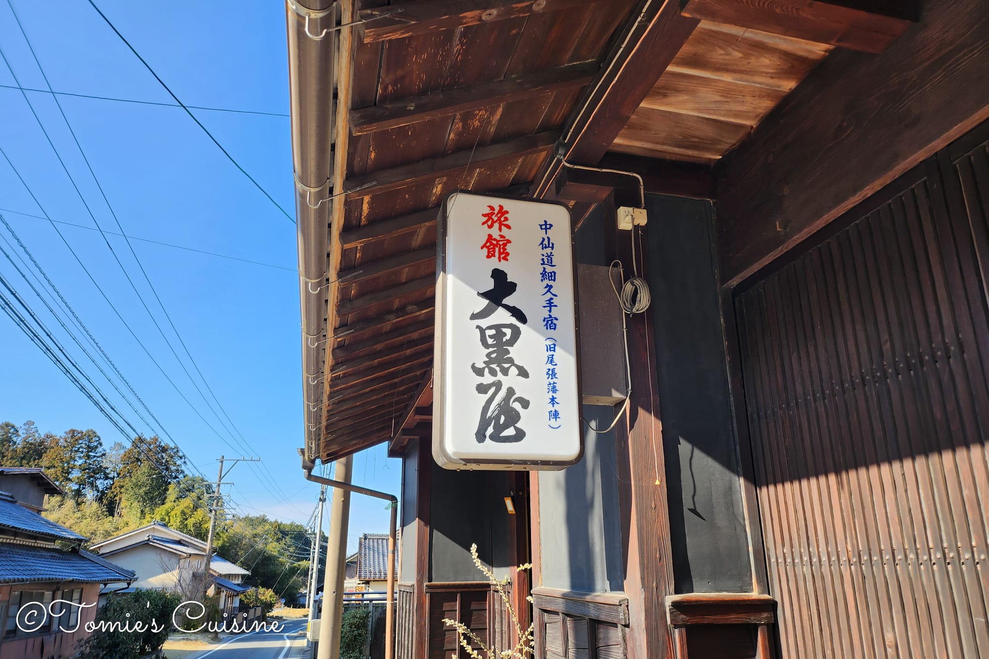
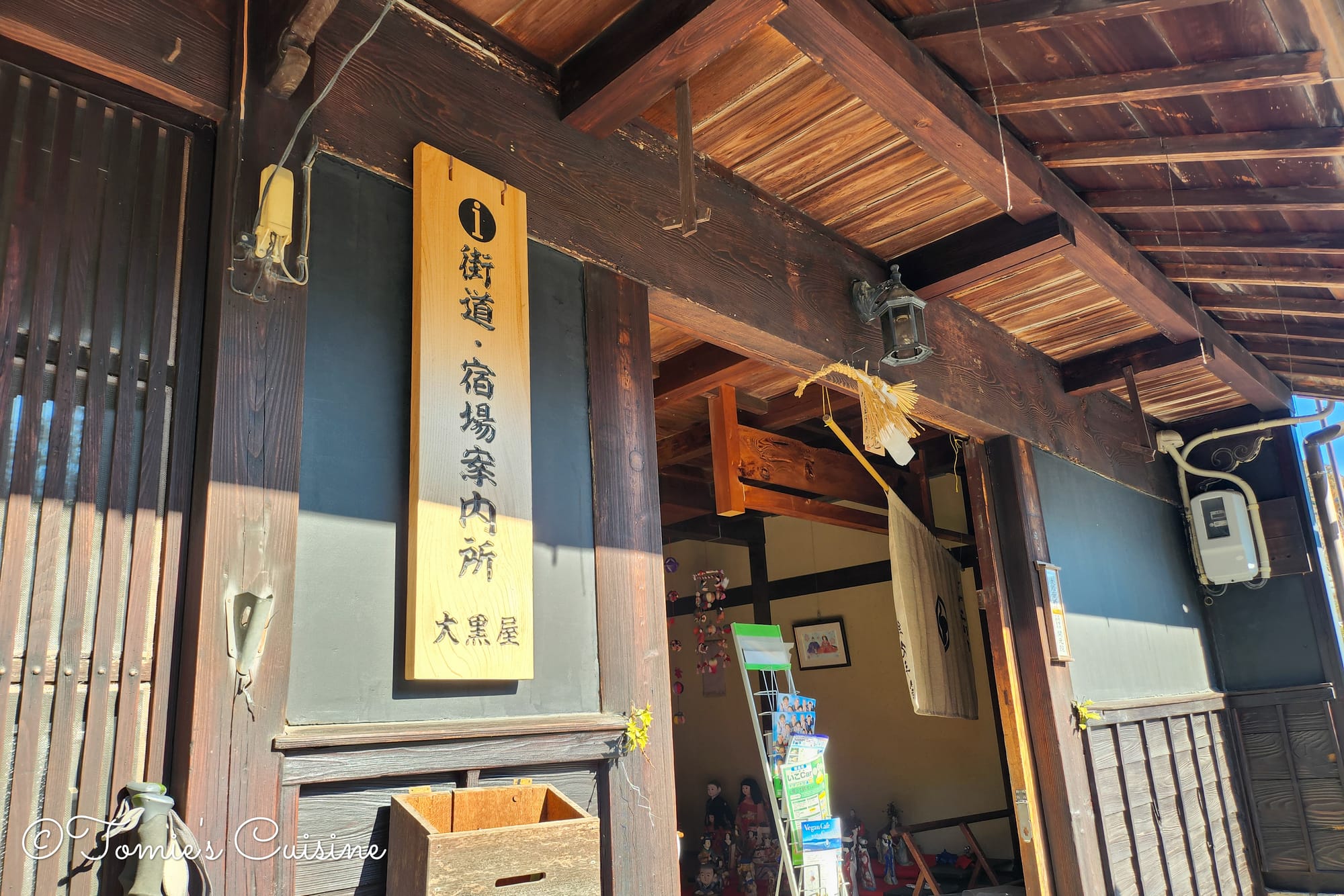
The driver dropped us off at the same spot she’d picked us up from the day before, in front of the historic inn Daikokuya Ryokan (大黒屋旅館). This inn is still running today, and if our budget had stretched further, we’d have liked to stay there. It’s the only place to stay in Hosokute post town. In the end, going down to Mizunami and staying there worked out more budget-friendly for us, and it meant we could track down bear bells too, so no regrets! But we’ll definitely stay at this historic inn next time.
💡
We weigh up exactly this kind of trade-off — plus the 19 other places we stayed along the route — in our nakasendo fieldguide, with honest reviews and what we actually paid.
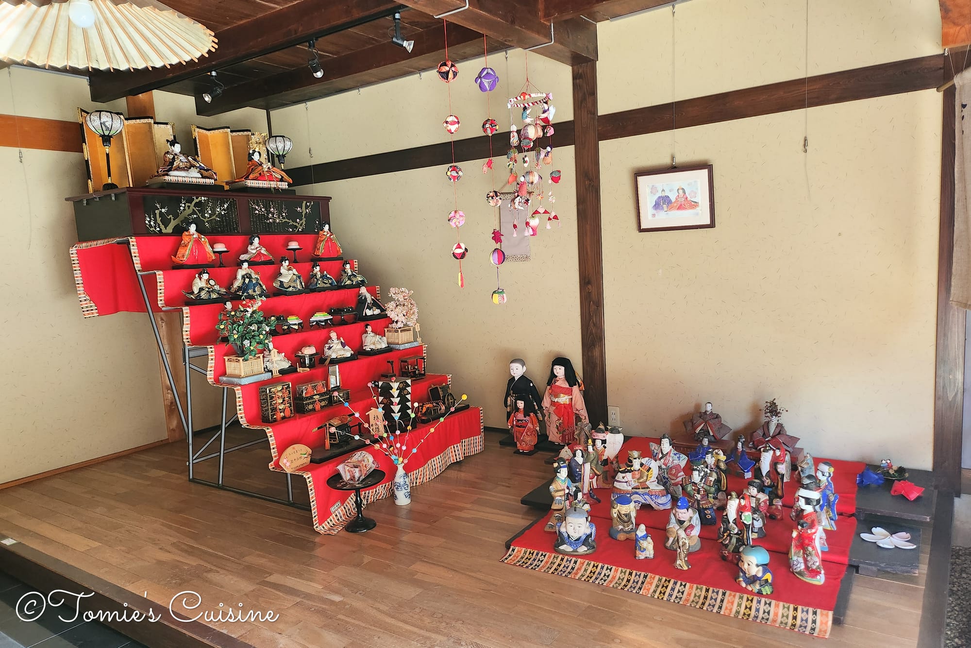
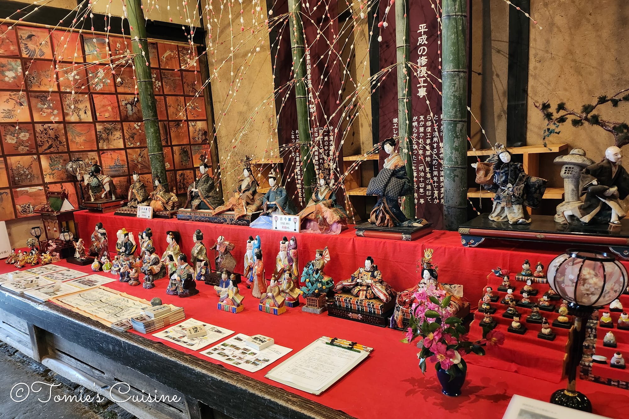
Inside Daikokuya Ryokan, they had Hina dolls on display, the dolls traditionally shown to celebrate Hinamatsuri, aka “Girls’ Day”. Hinamatsuri is a traditional event held in Japan on 3 March to pray for the health and happiness of girls.
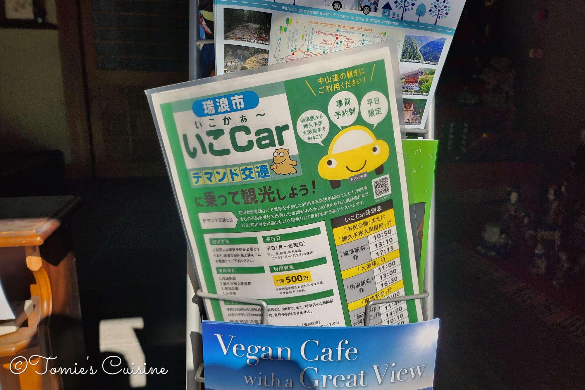
This is the local taxi service we took from Hosokute Post Town to Mizunami Station.
8:40 am Through the rest of Hosokute post town
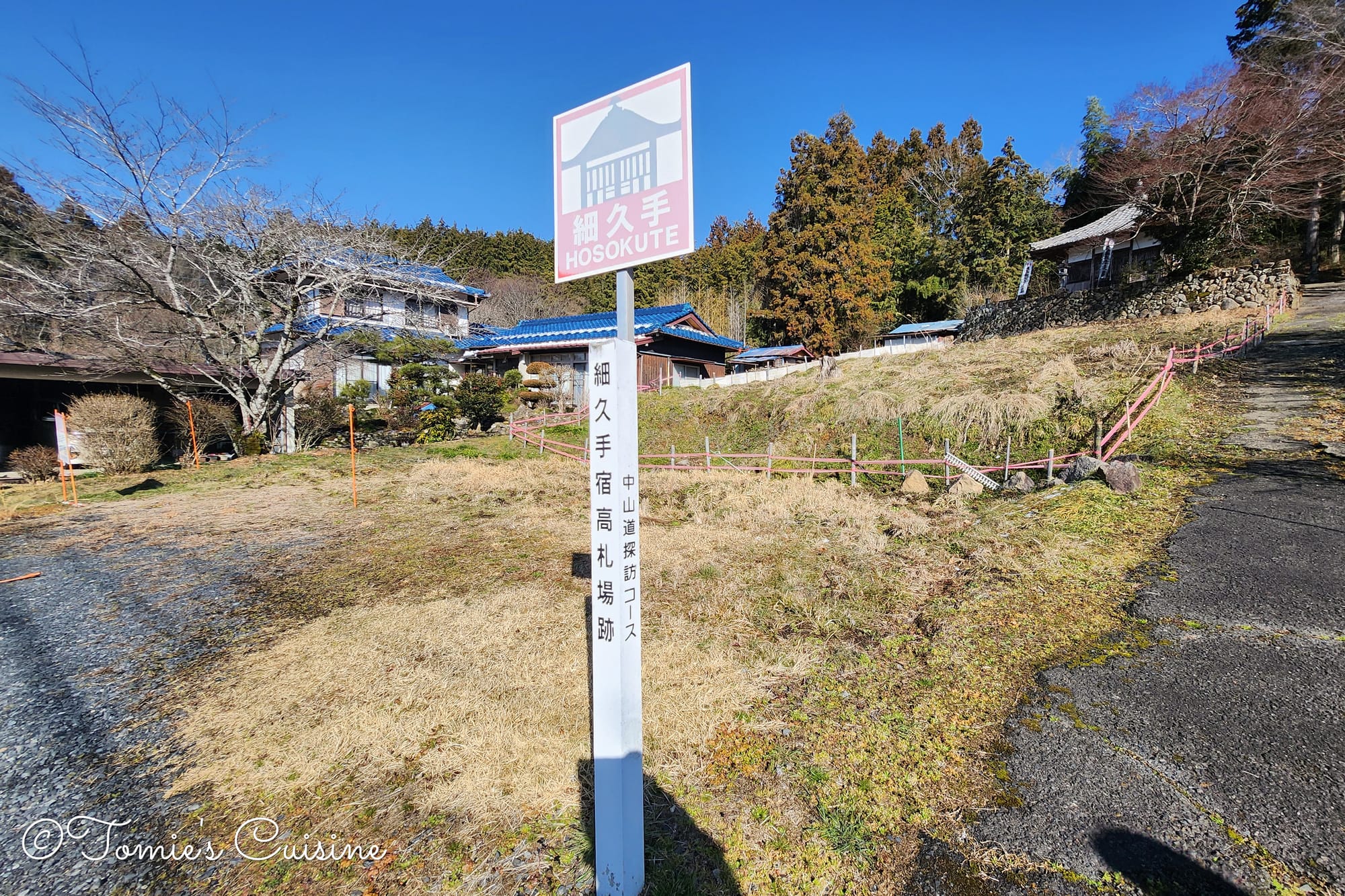
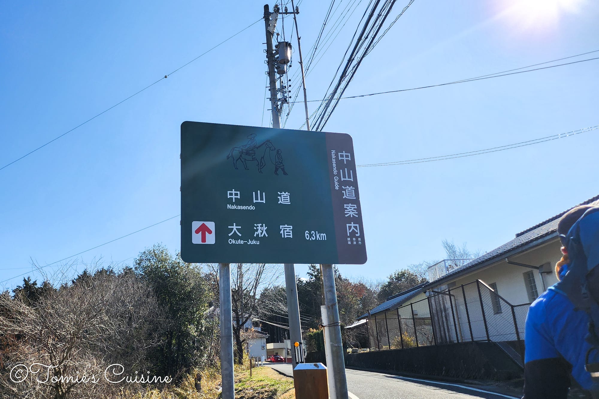
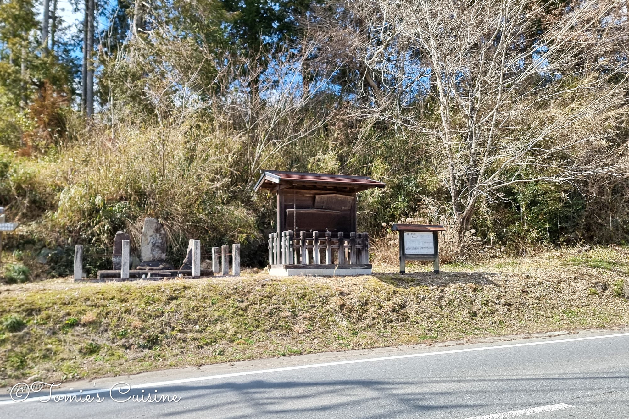
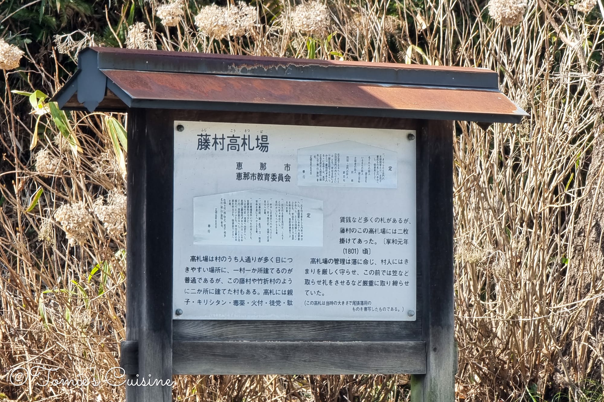
"Kosatsuba (高札場)" notice board ruin in Hosokute post town.Let's head to Okute post town! 6.3km to go!
The road with almost no place to walk
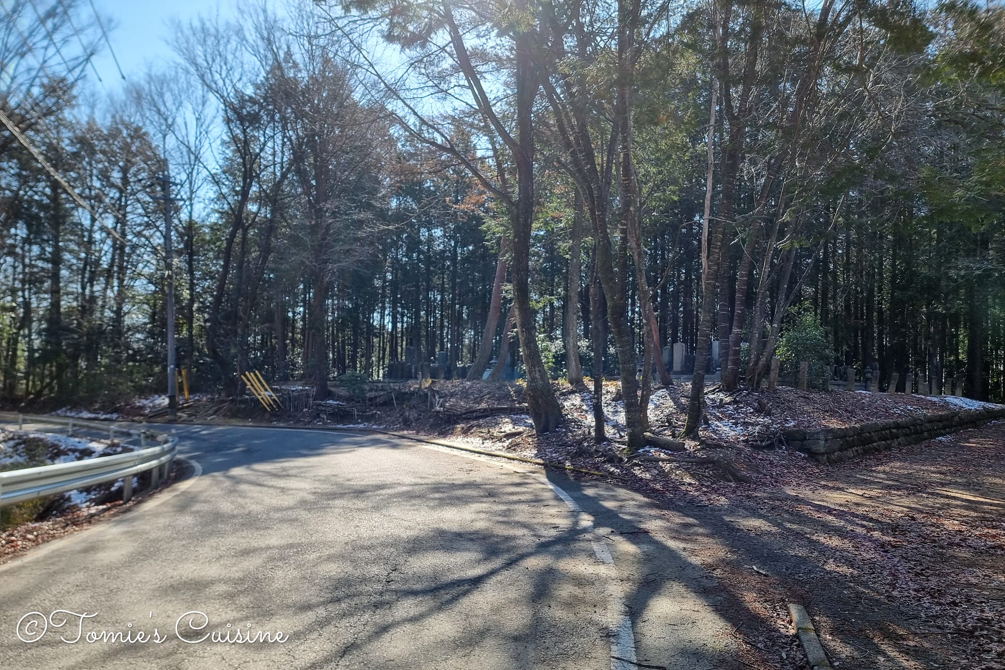
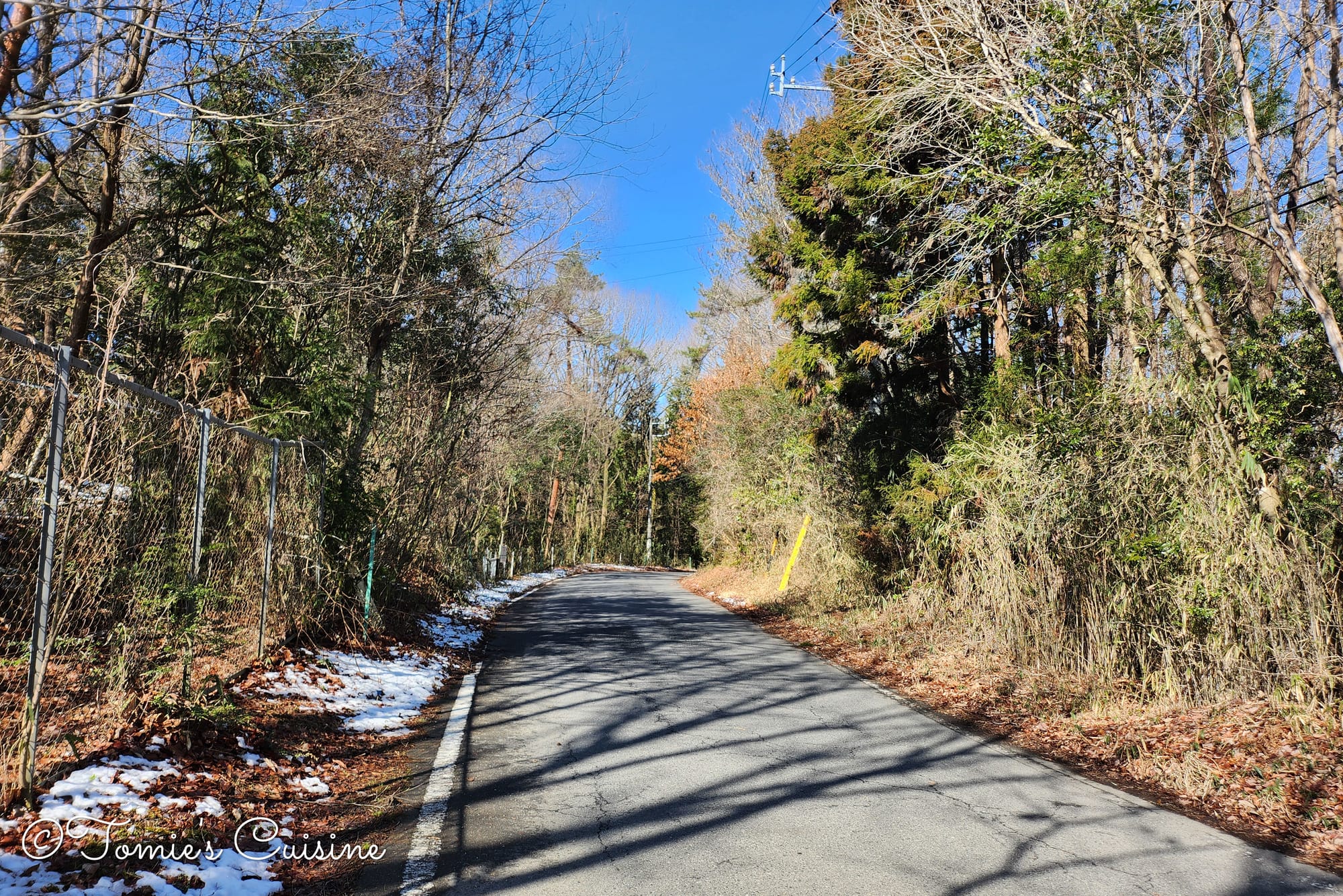
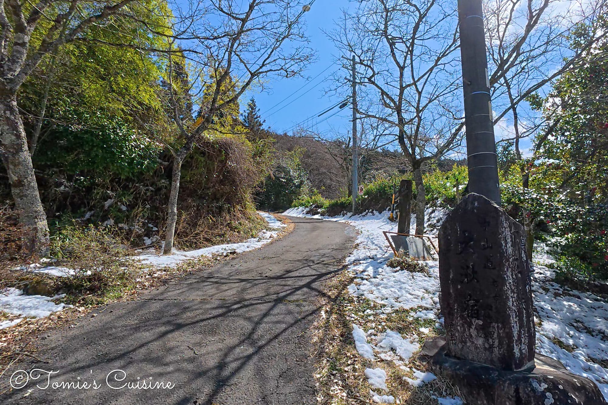
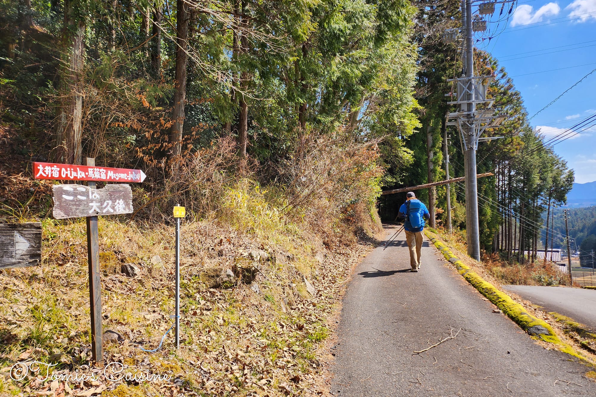
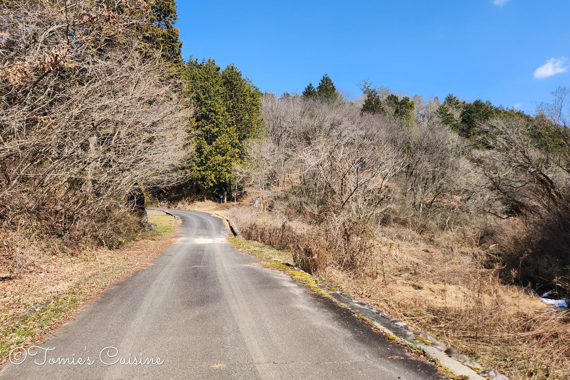
From here, we were mostly walking along the road itself, with only a narrow verge to keep to. There was some snow on the ground, and a few puddles were still slightly frozen. Fortunately, it wasn’t a busy road, though we did see quite a few racing cars go past. Apparently there’s a racing circuit nearby, and that’s where they were heading.
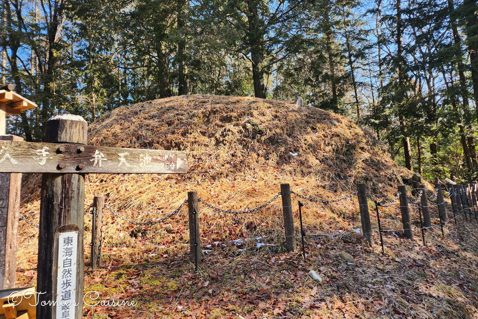
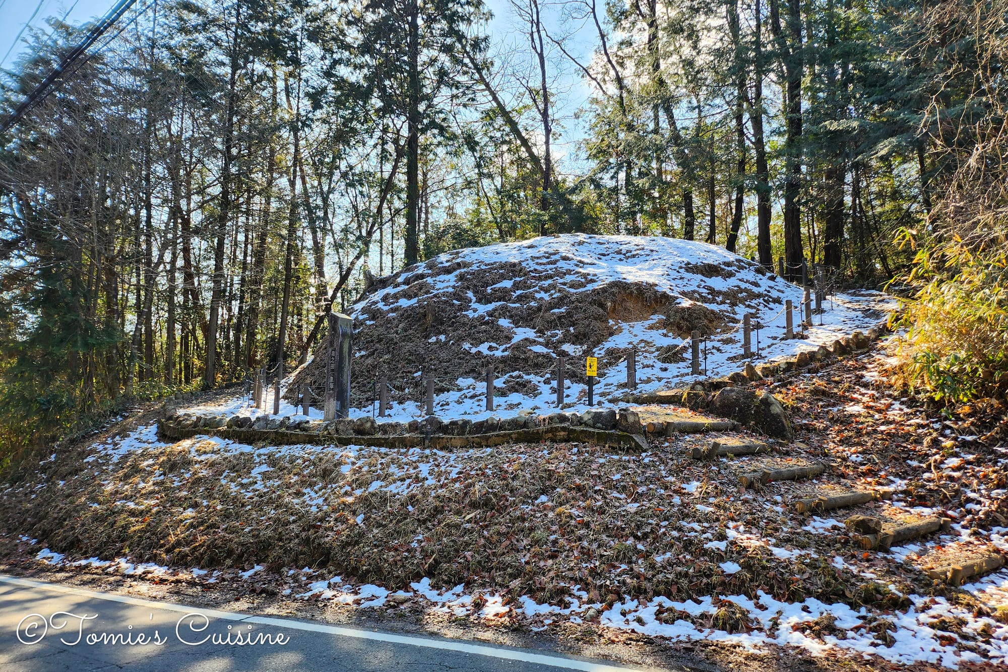
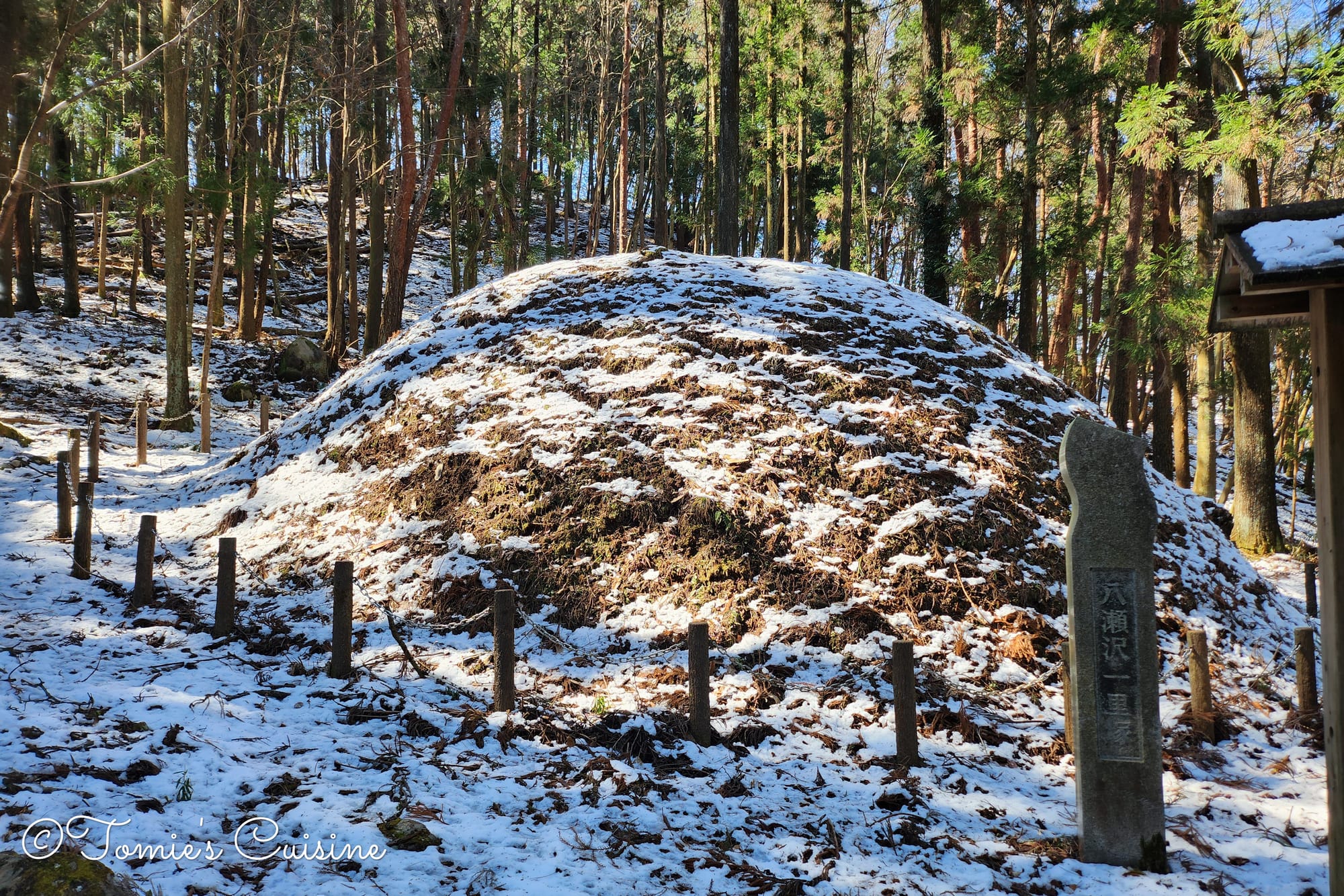
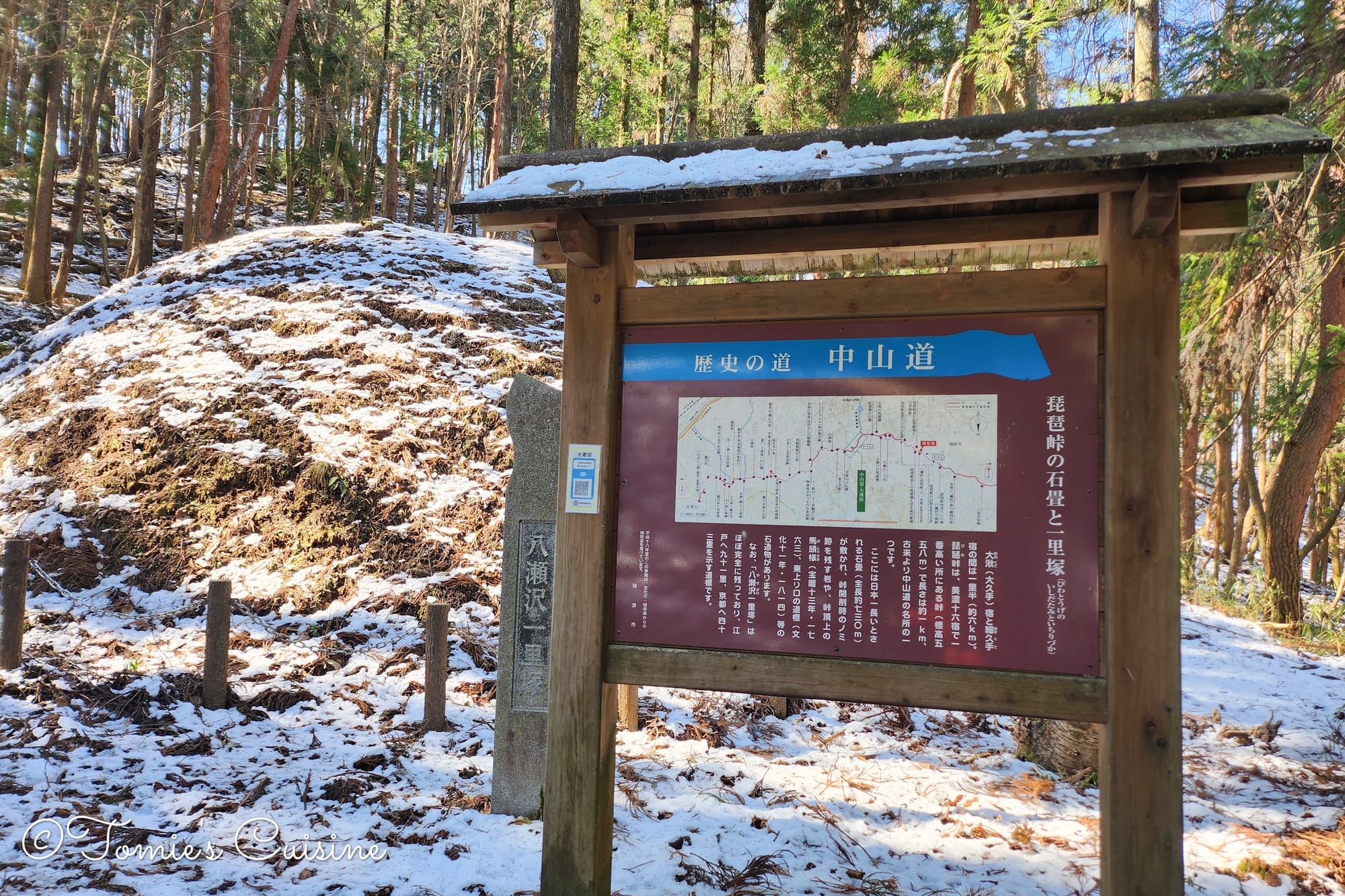
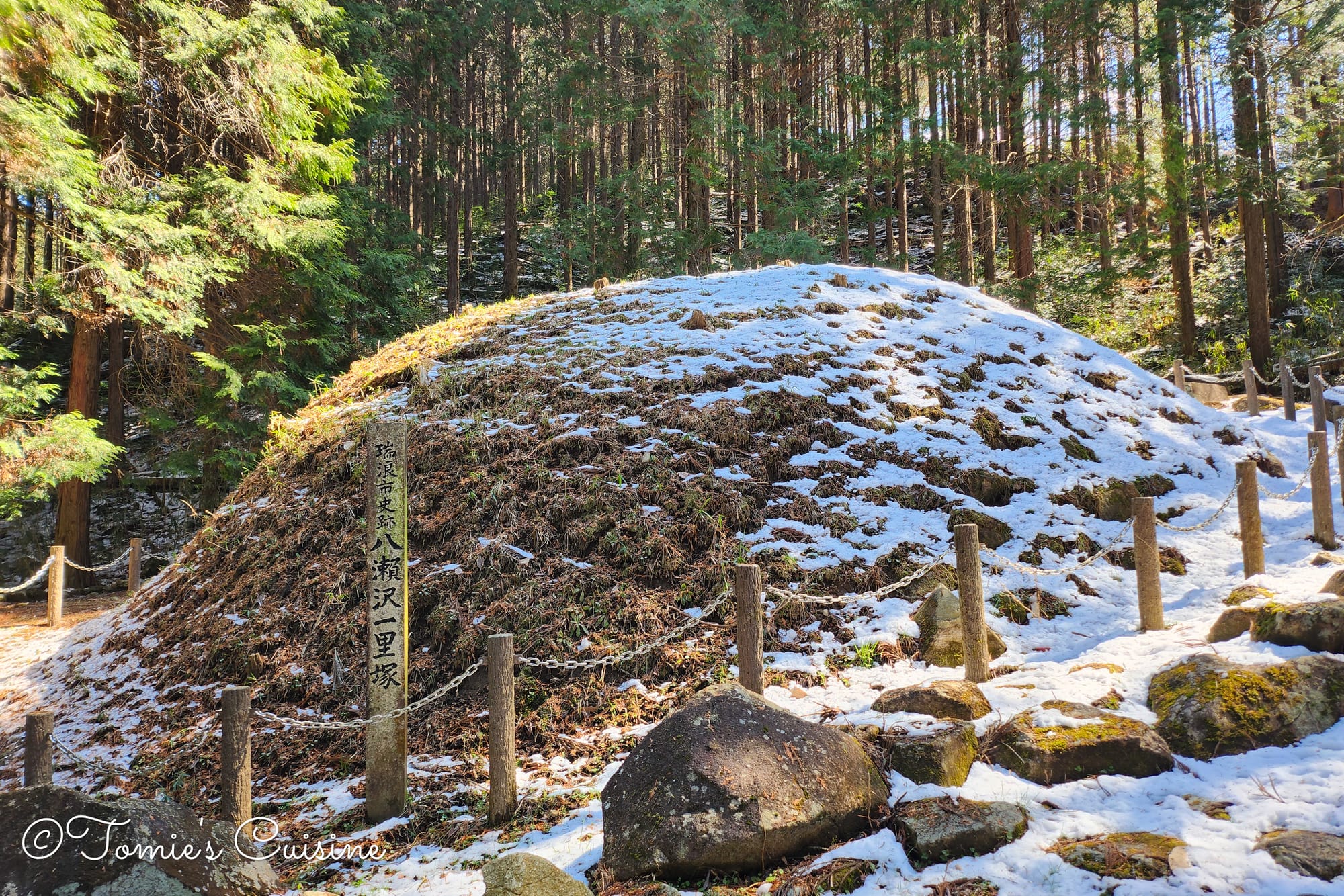
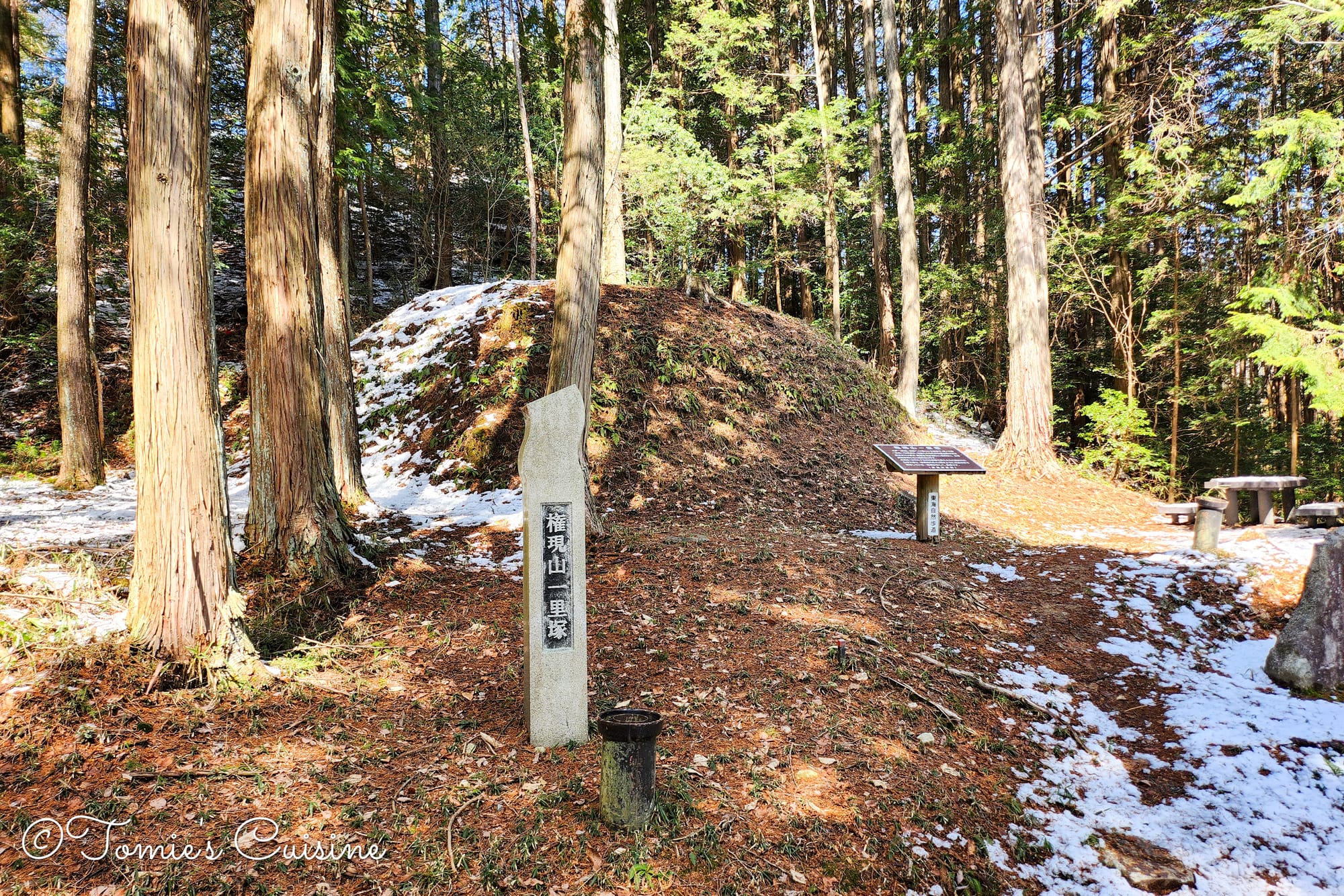
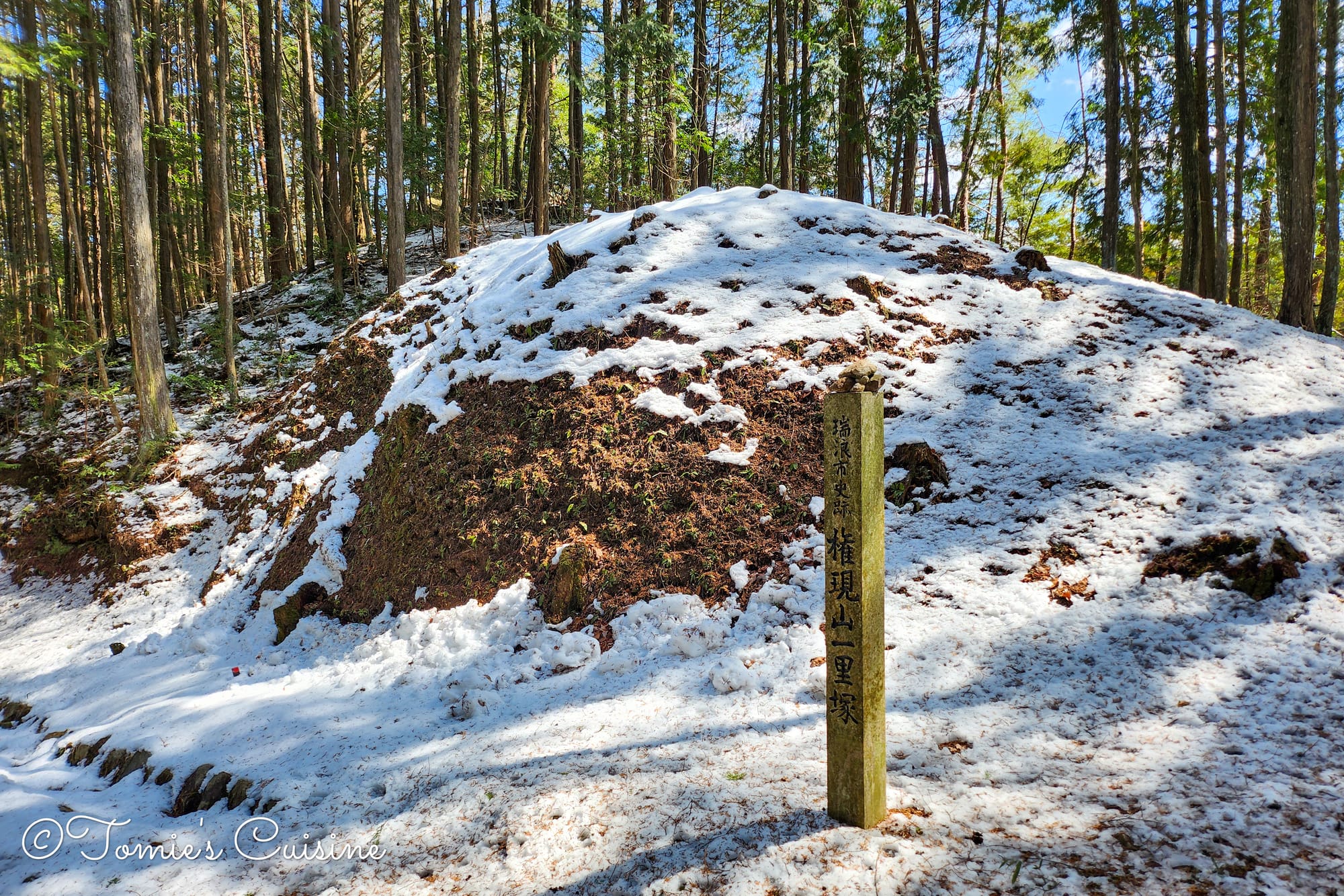
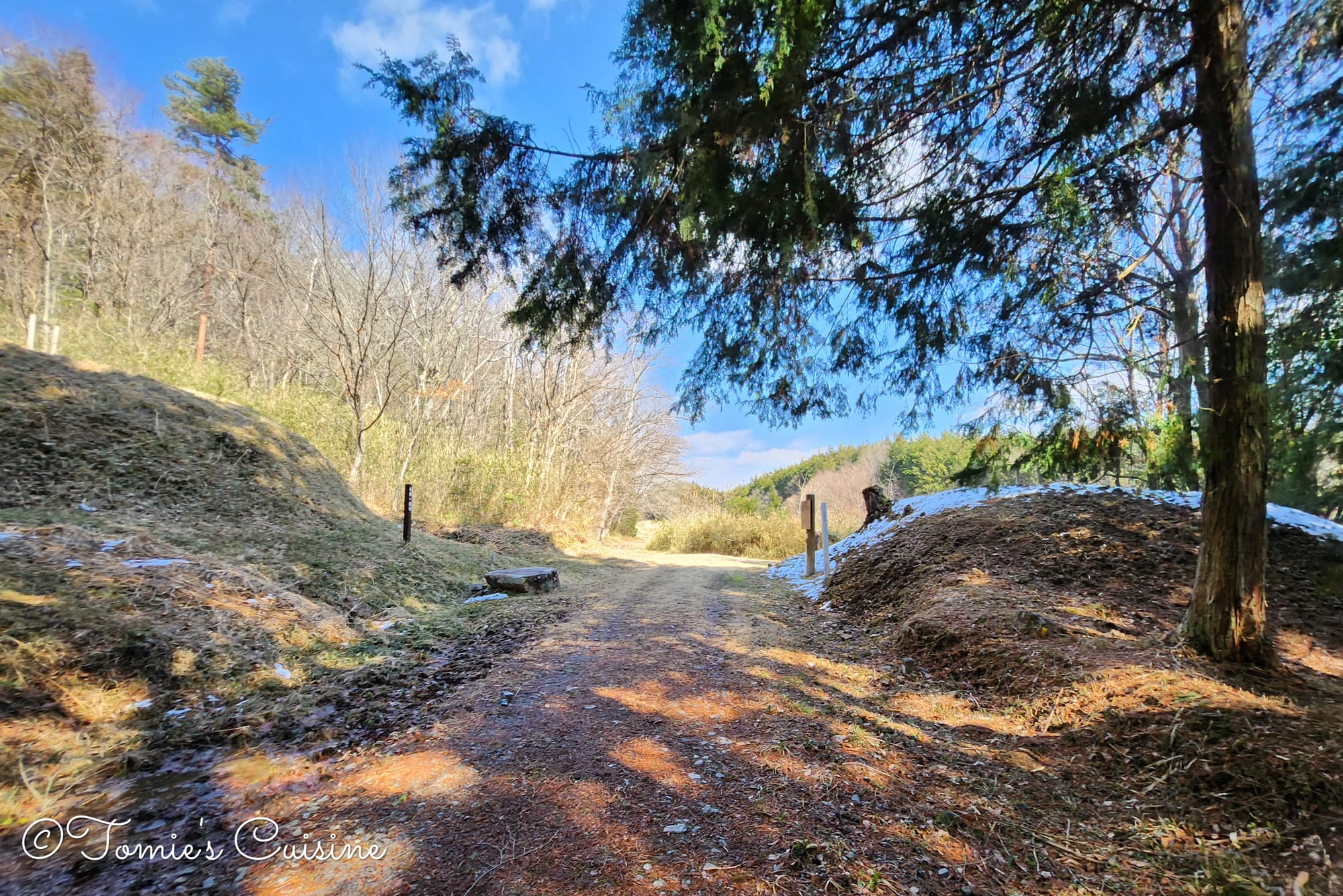
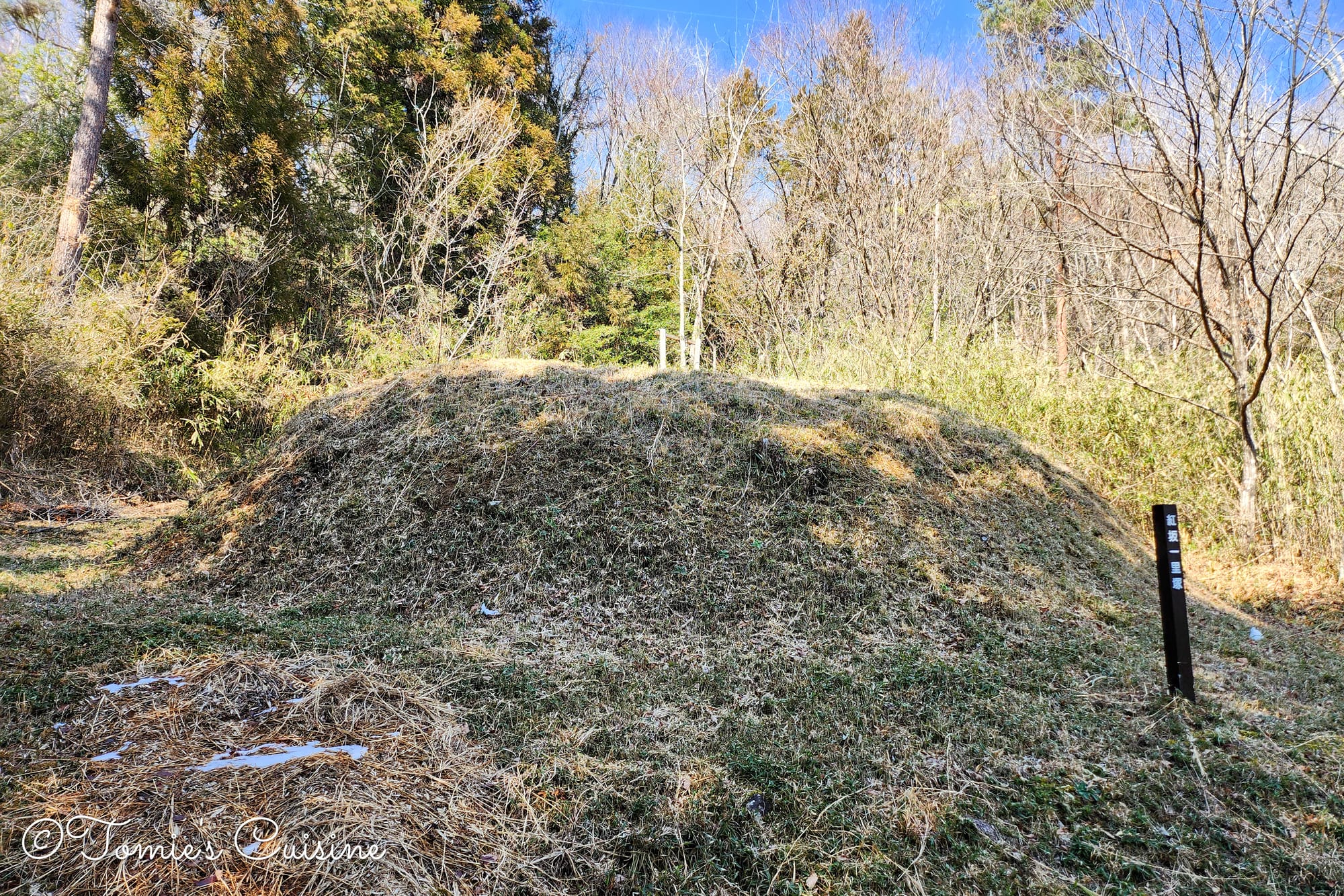
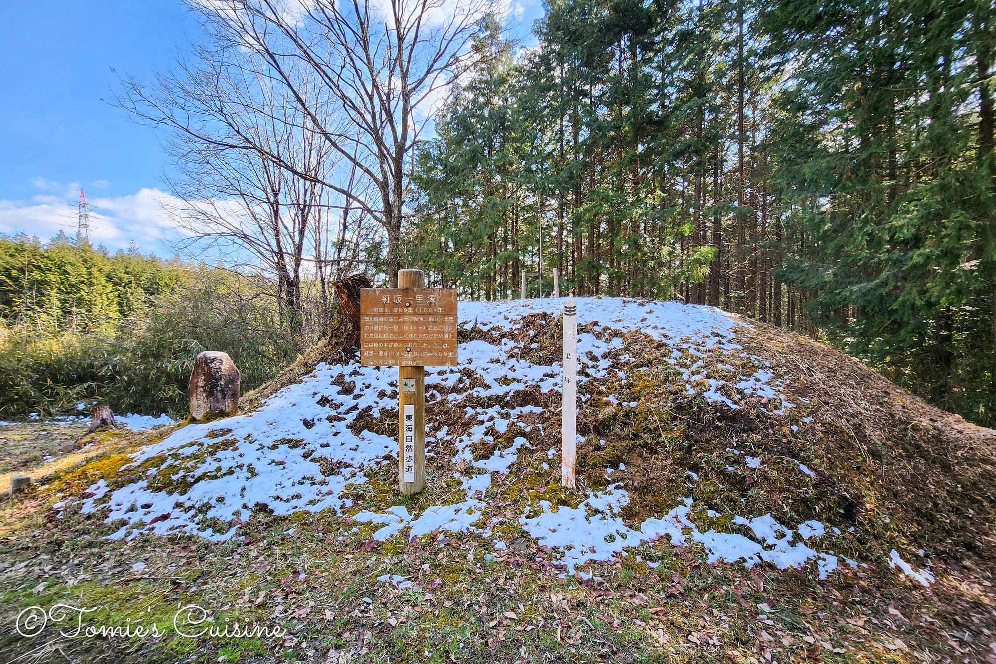
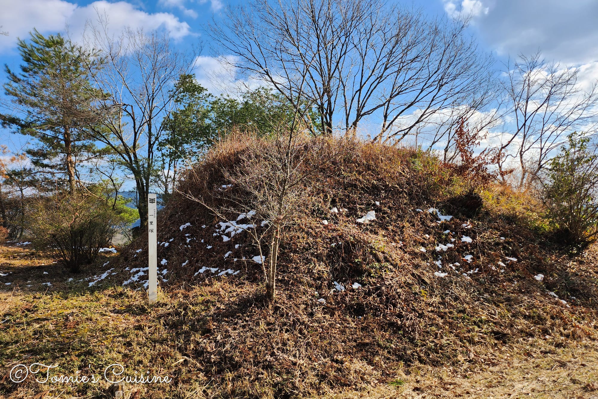
After a few minutes’ walk, we came across this Ichirizuka milestone, which still has a proper small dirt mound on both sides of the road. Neither mound had a tree on top, but it was clearly well kept, and the information board helped us understand its history.
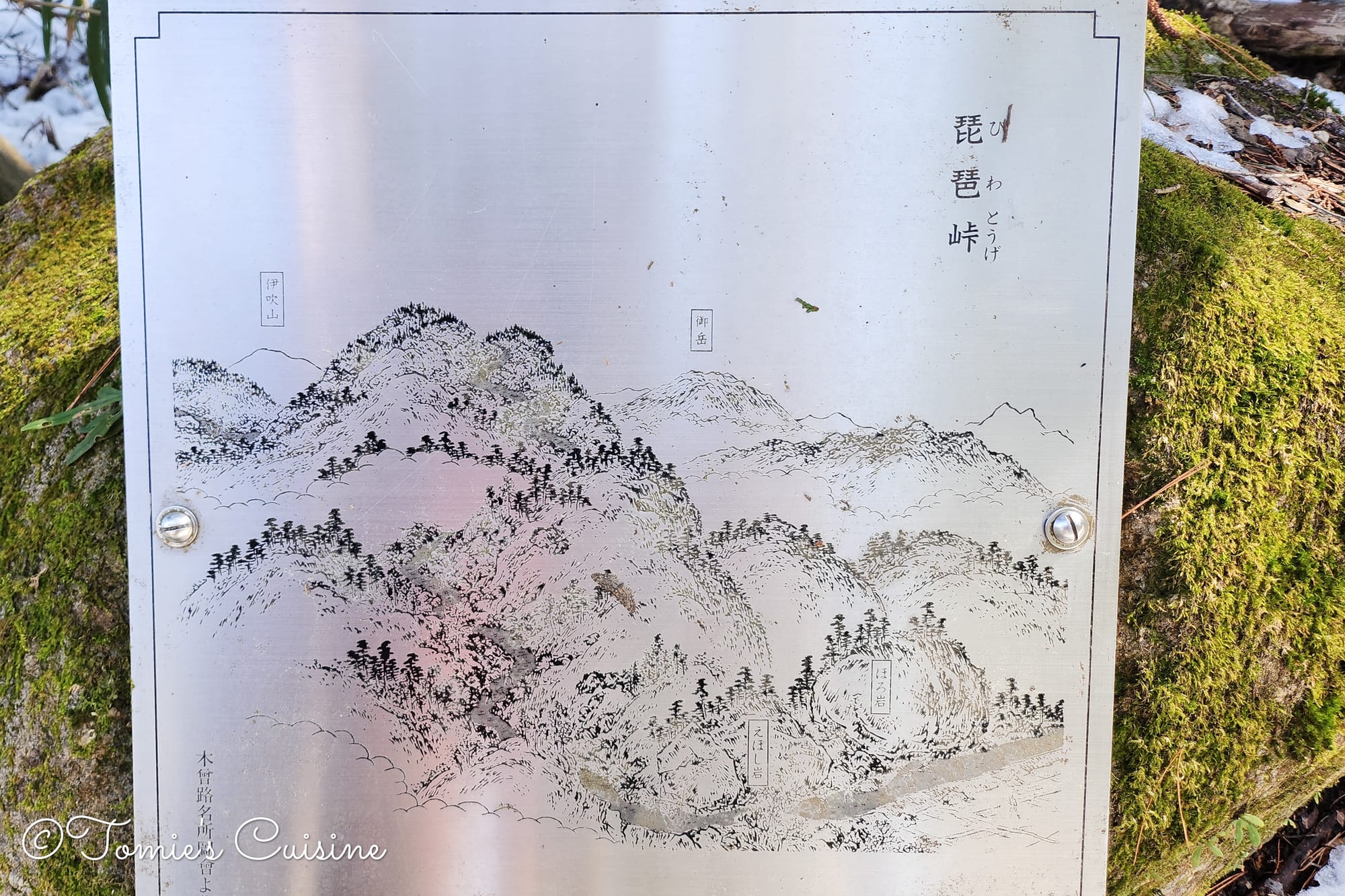
Historical drawing of Biwa Mountain Pass on the metal board on the rock.
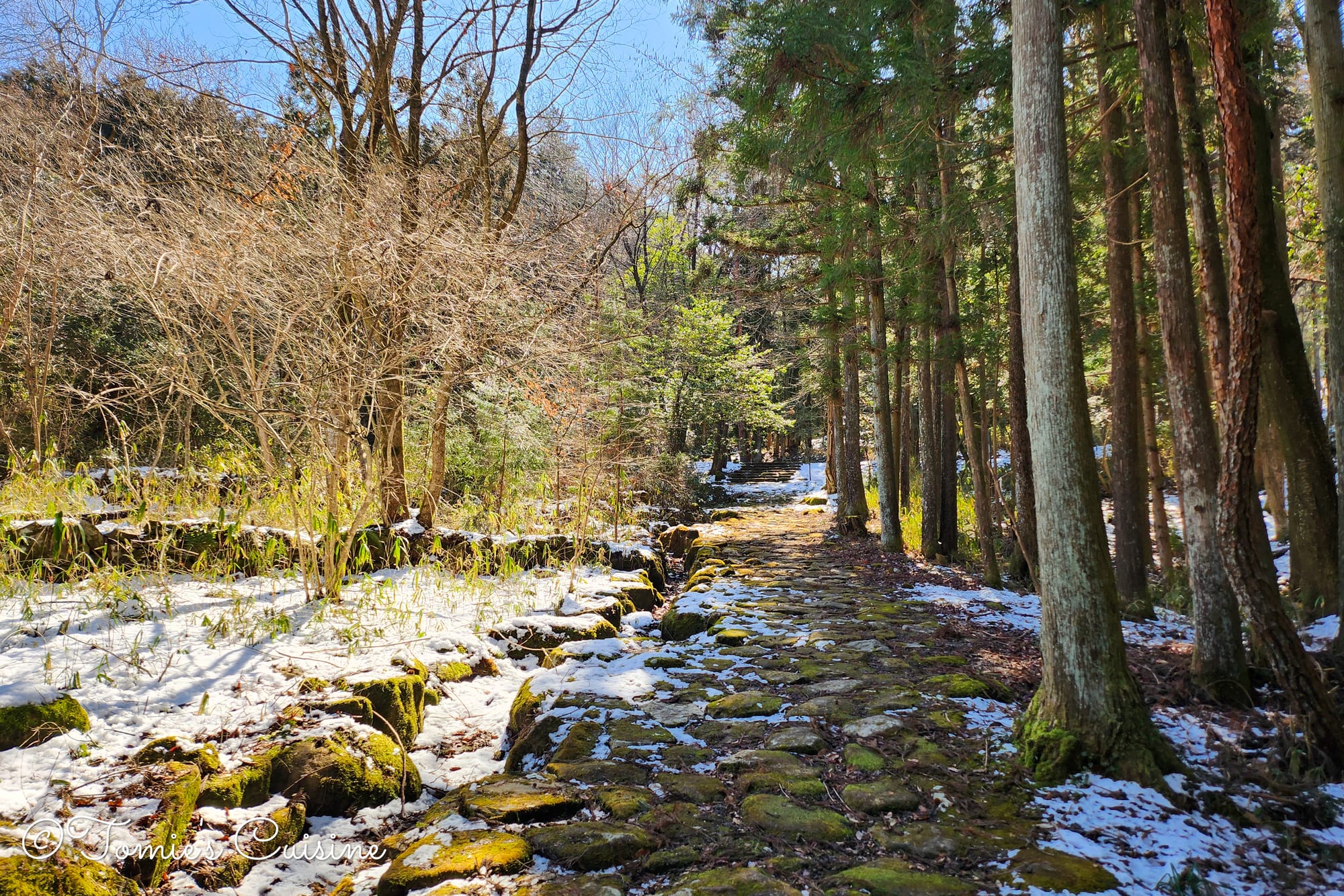
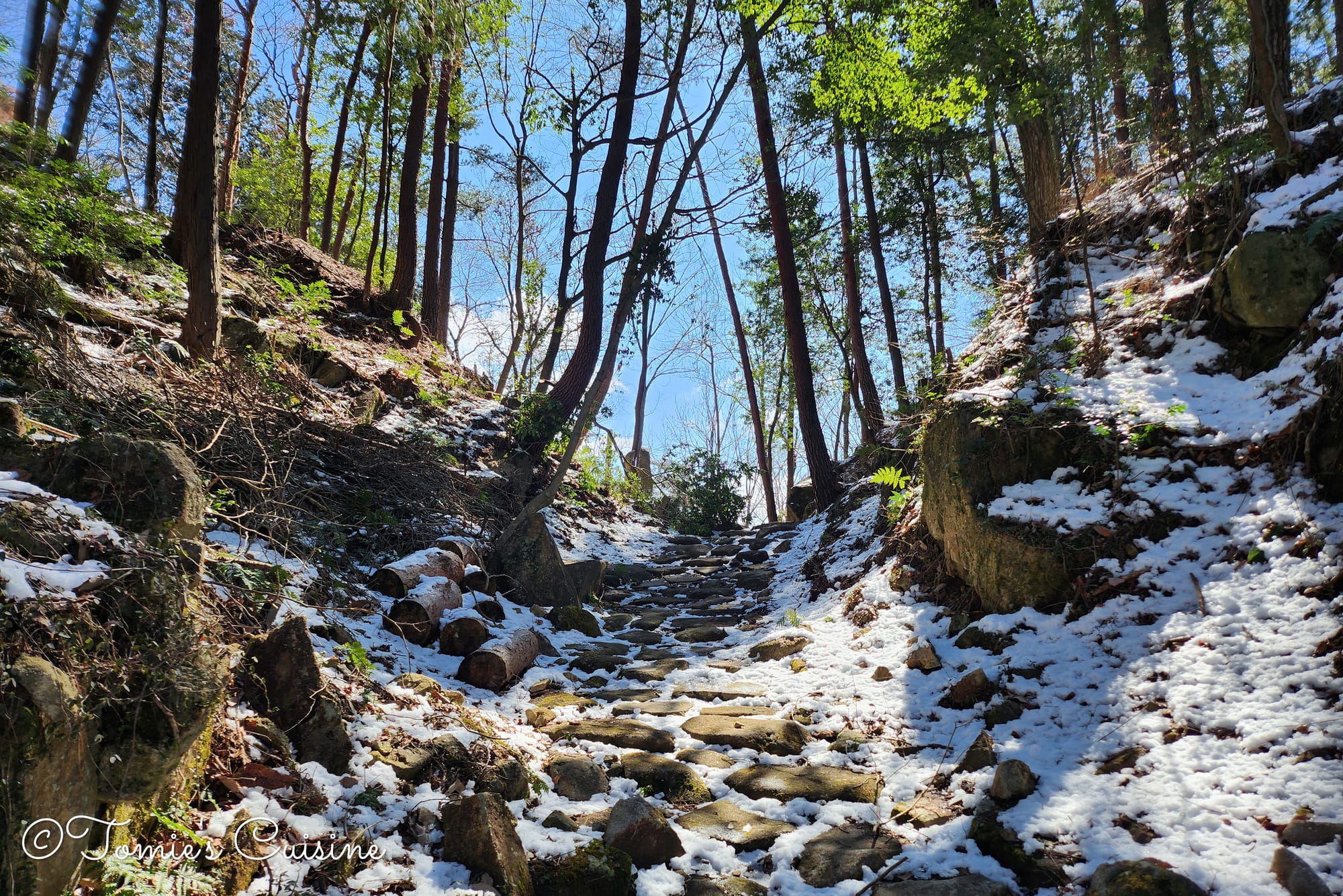
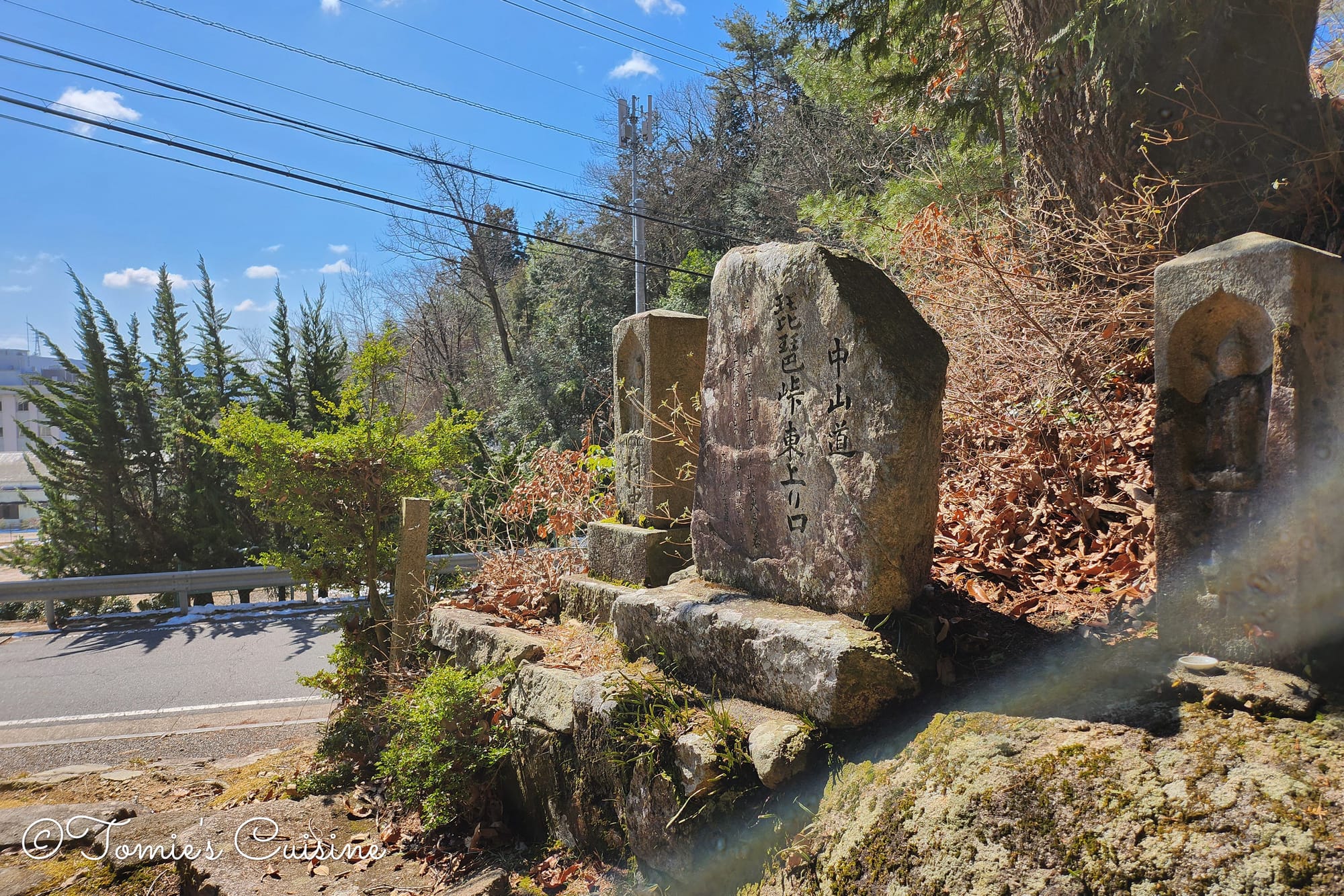
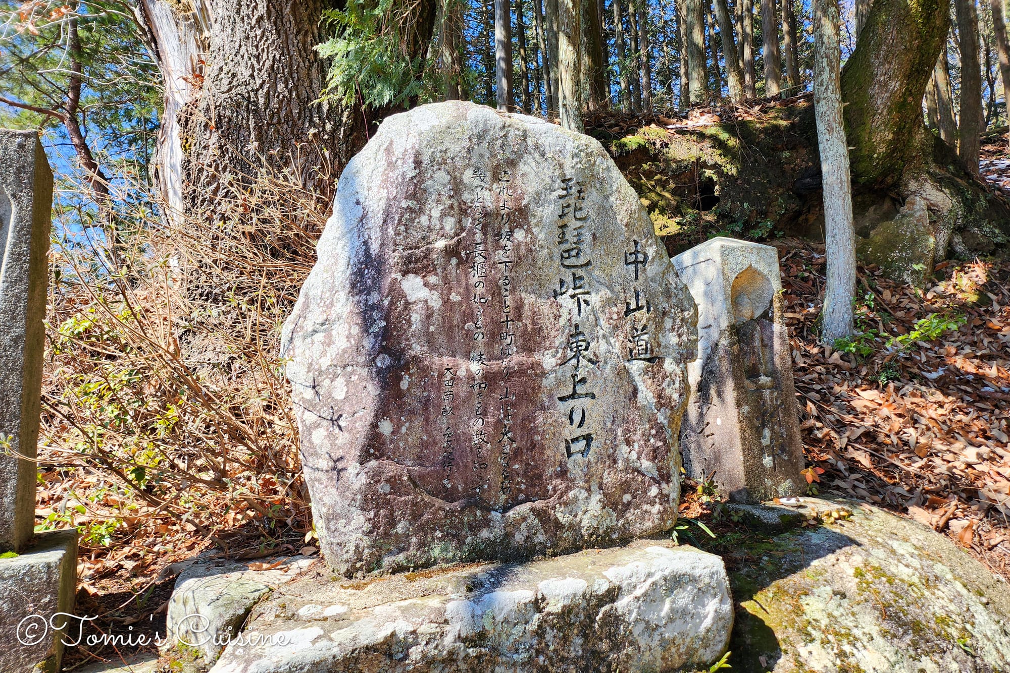
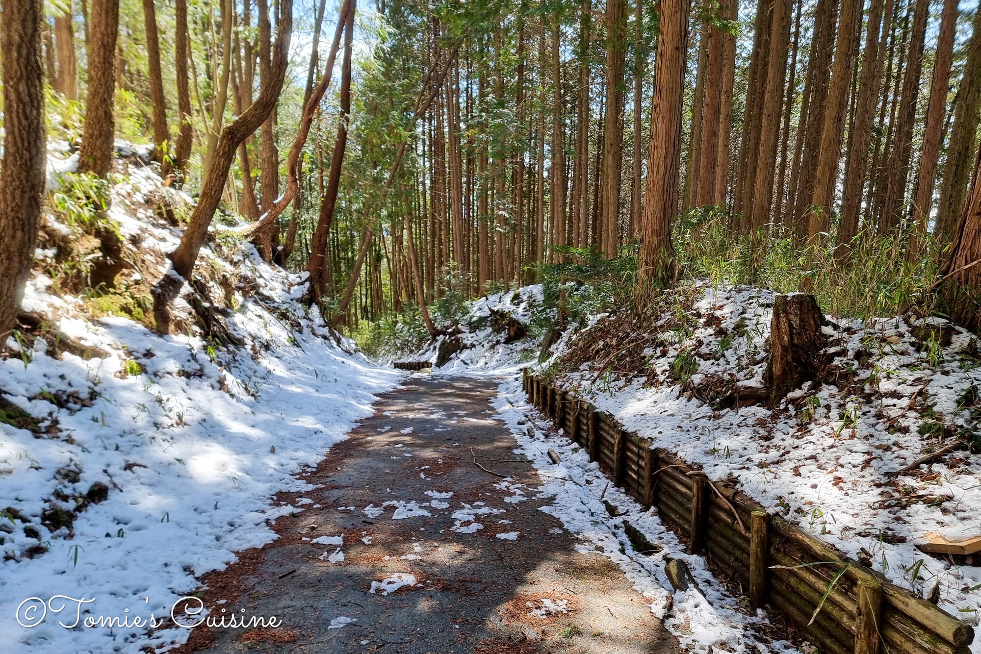
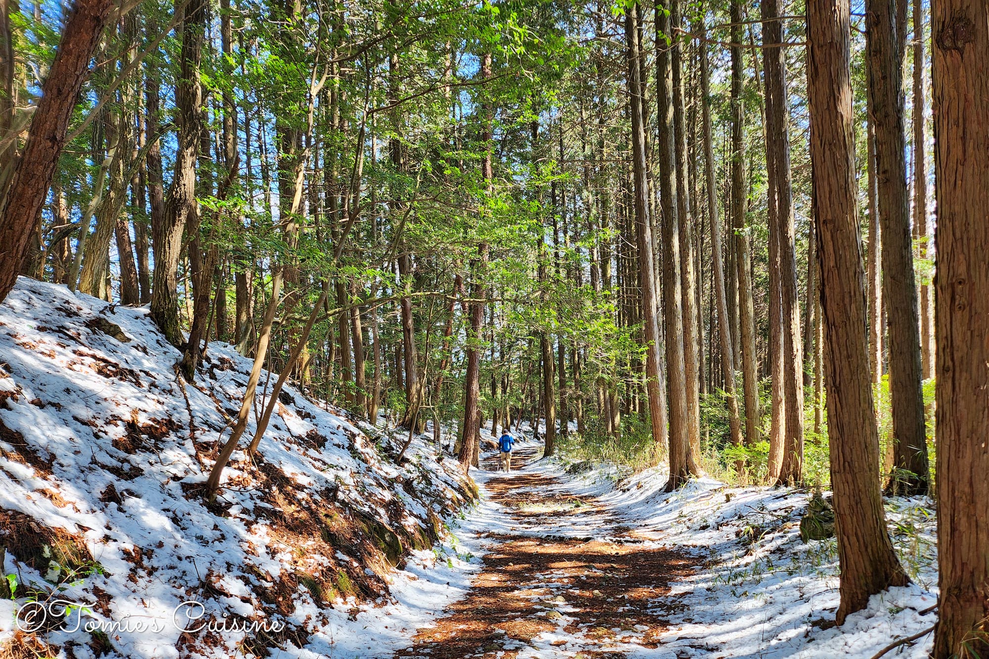
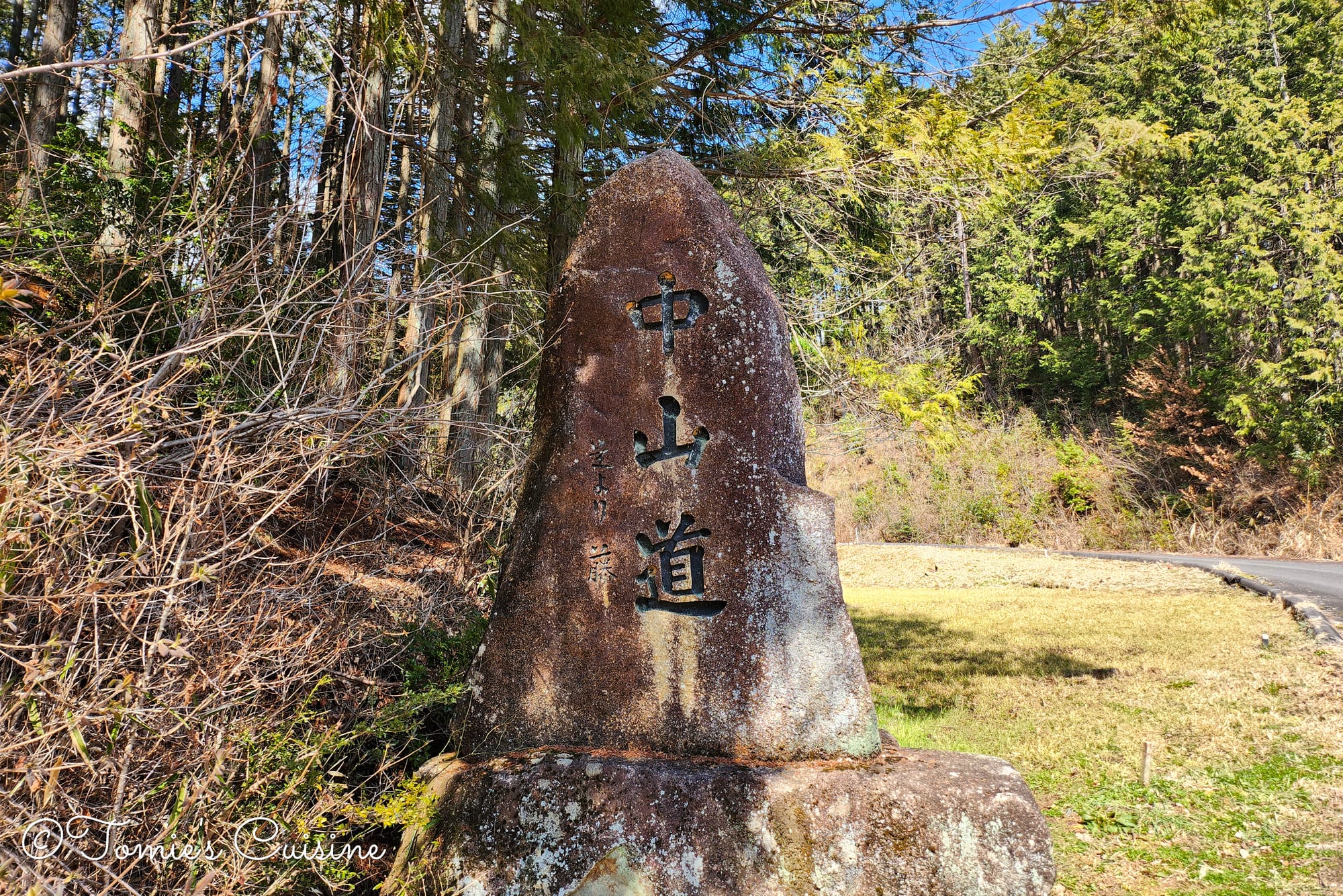
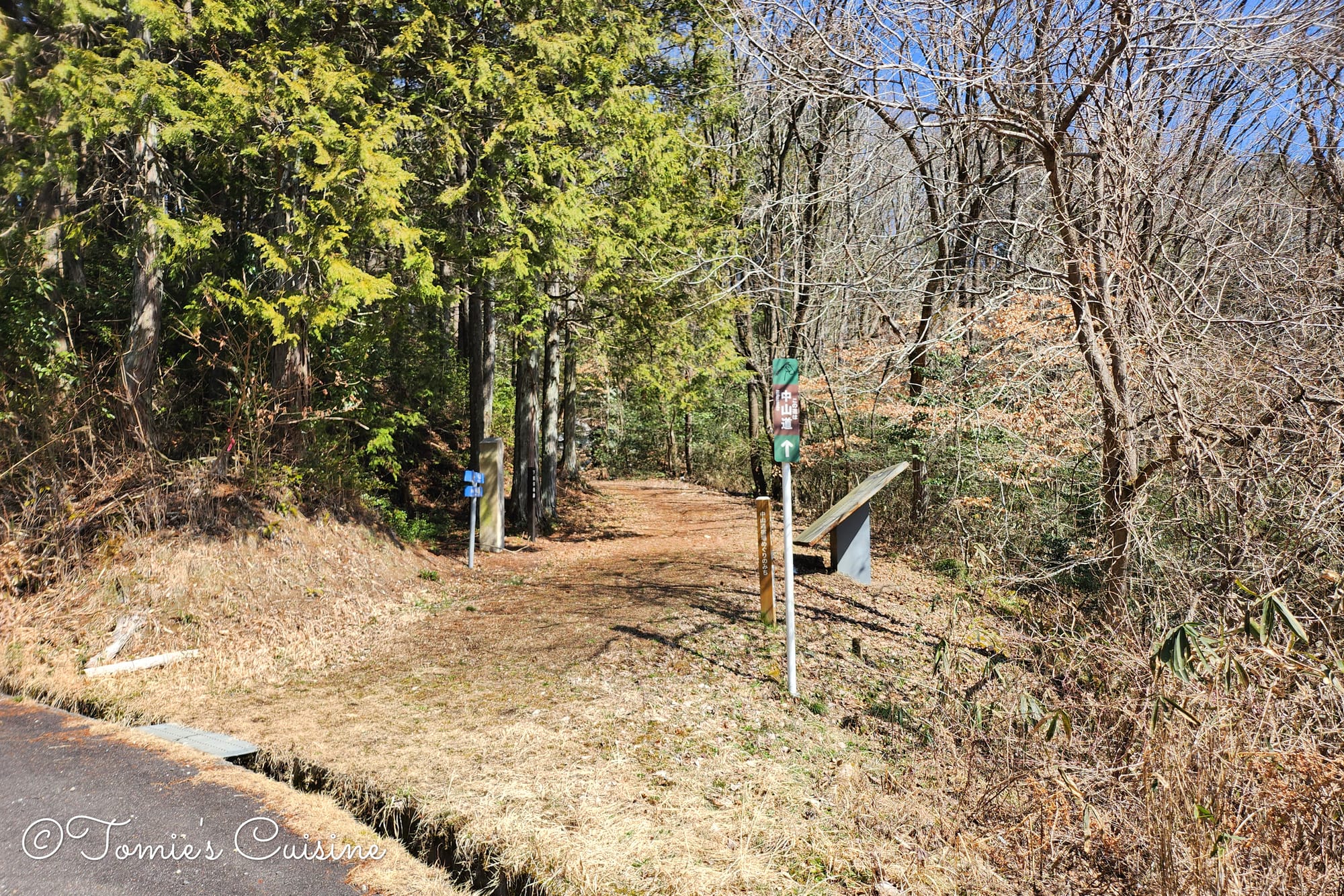
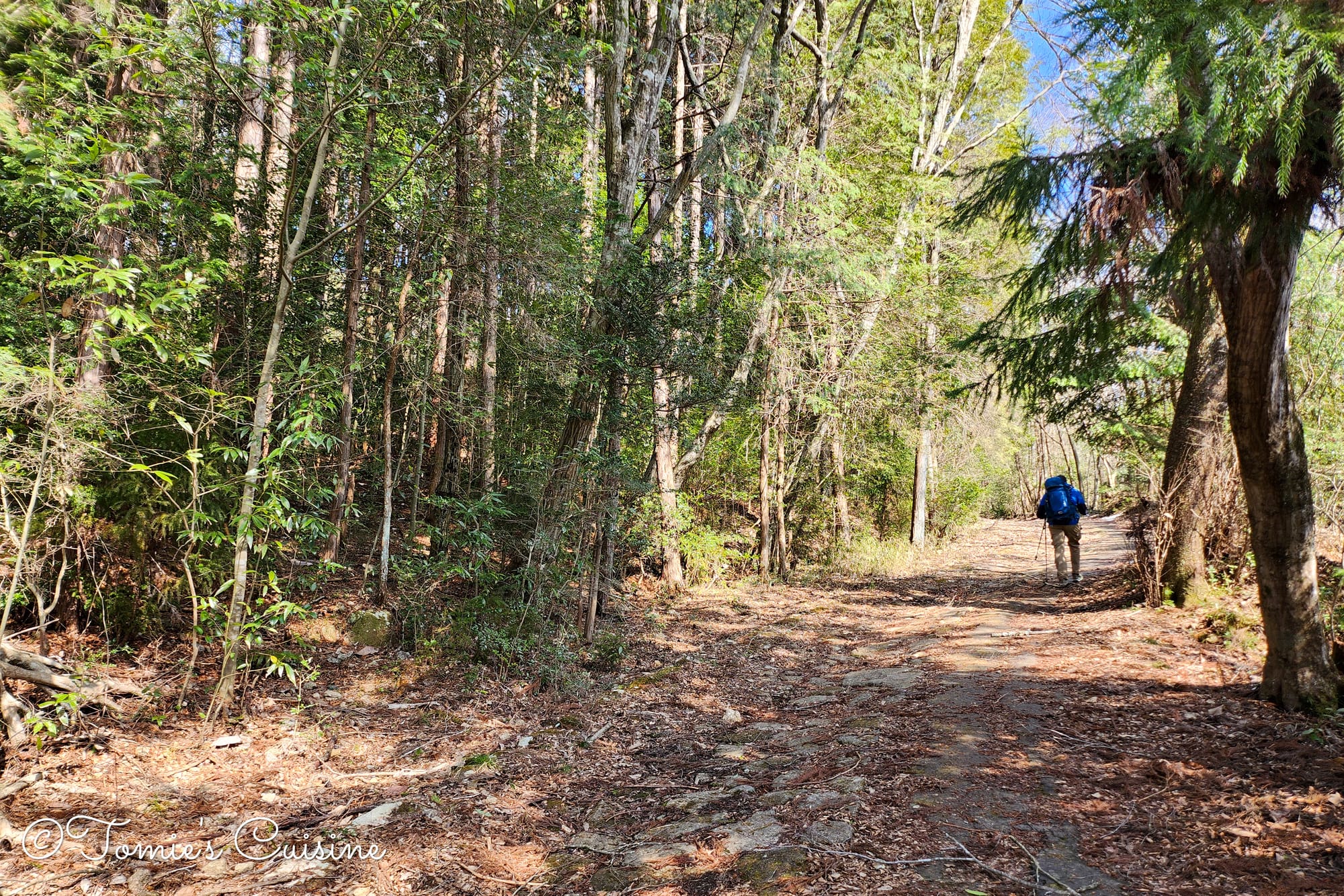
Biwa Mountain Pass is the highest point (557m) on the Nakasendo through the Mino area of Gifu Prefecture. It’s also home to one of Japan's longest stone pavements, running for around 730m. The stones were beautiful, dusted with moss and a little snow.
The beautiful stone pavement on the way to Biwa Mountain Pass.
According to the information board beside this Ichirizuka, the mounds here remain almost fully intact from when the Nakasendo was the main road between Kyoto and Edo.
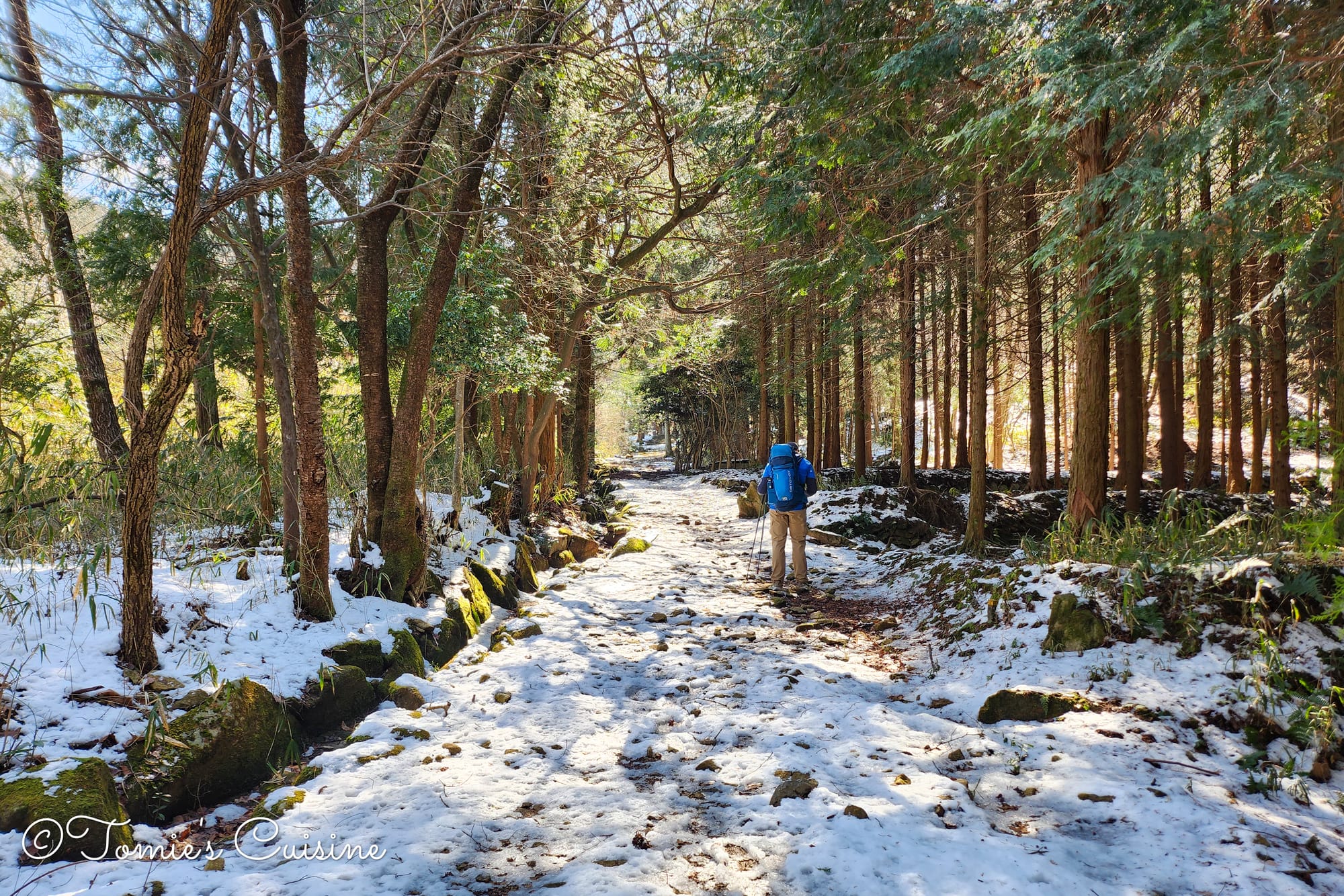
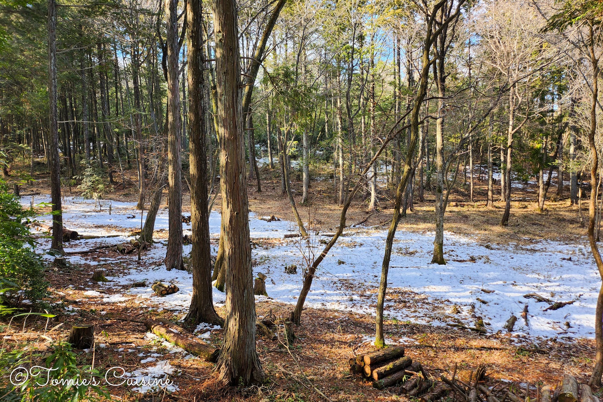
Back among the trees, we spotted more footprints in the snow and a small water channel running alongside the path.
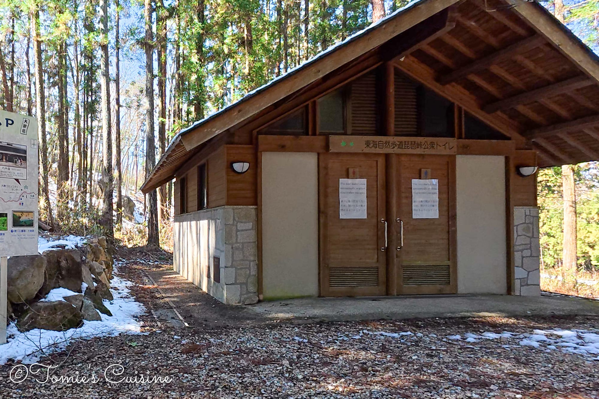
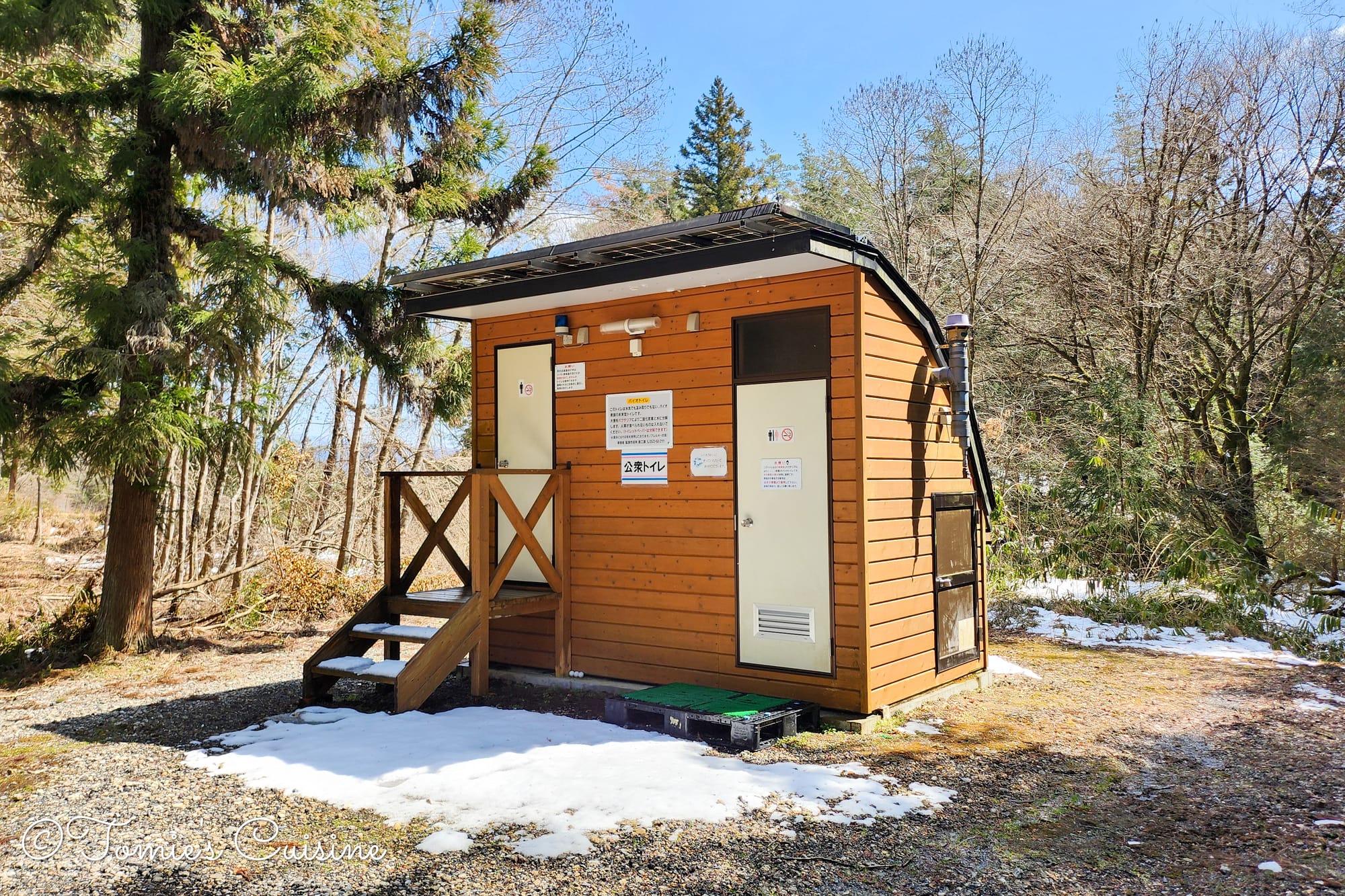
This is a popular hiking trail, so there’s a public toilet along the way. However, from around December to March or April, many are closed to stop the water supply freezing. We found quite a few closed for this reason, especially in Nagano, so if you’re travelling in winter, it’s worth checking the local authority’s website first.
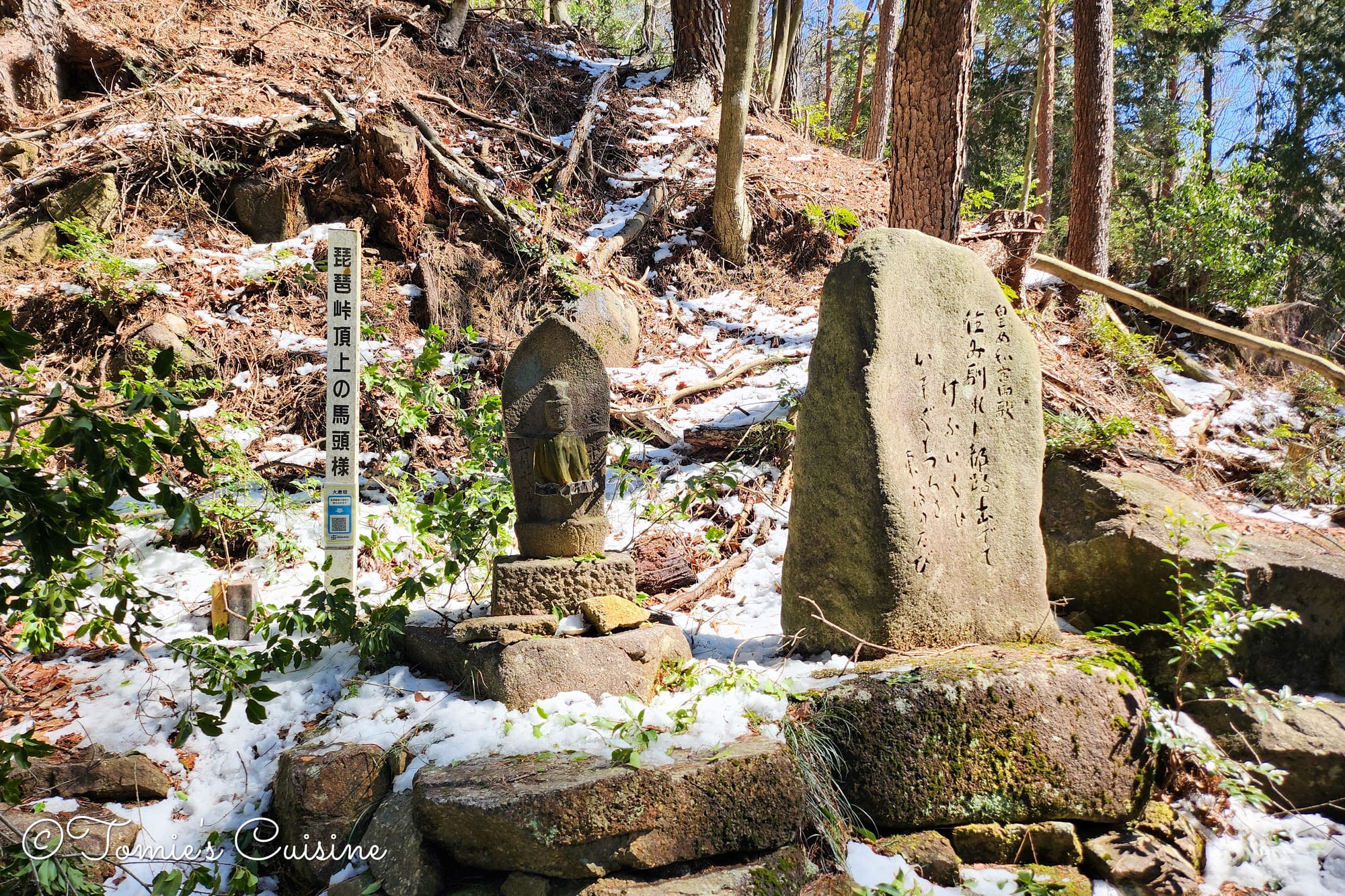
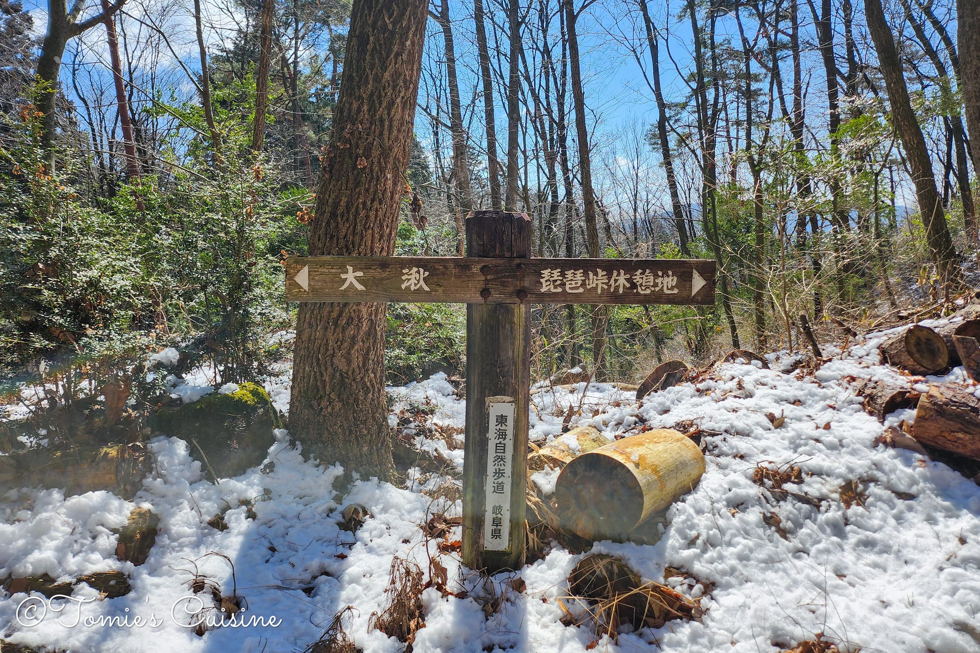
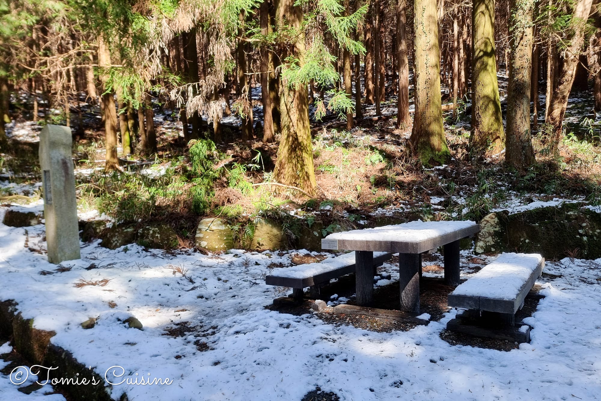
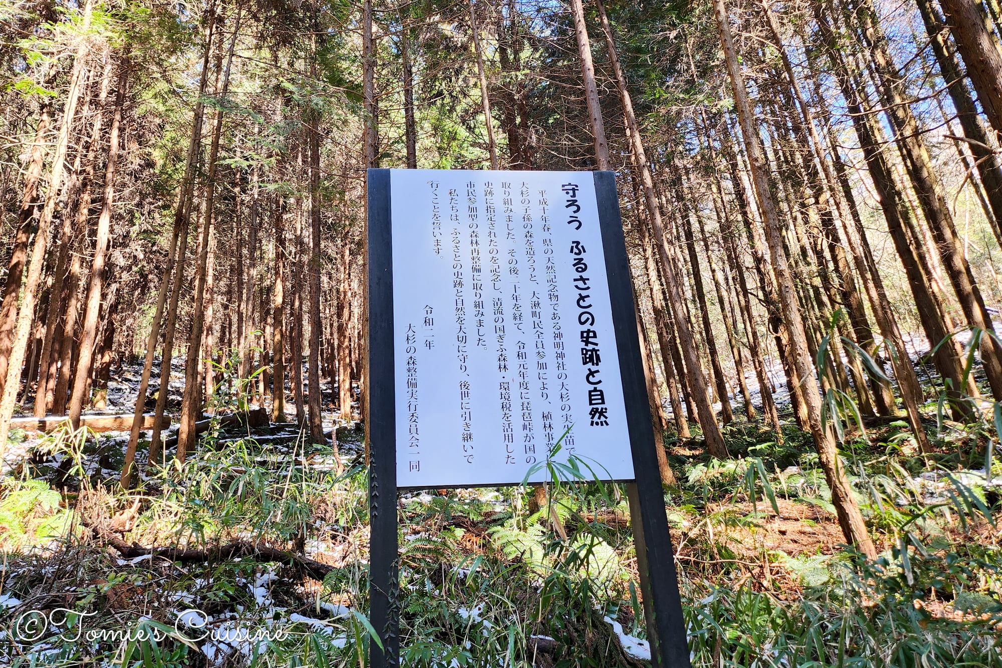
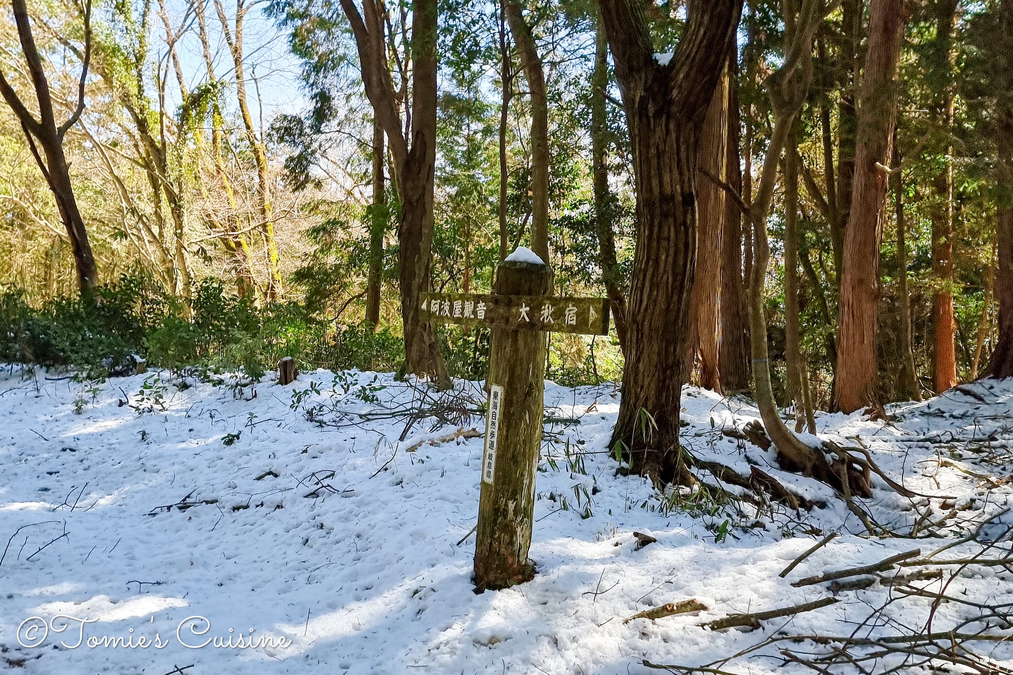
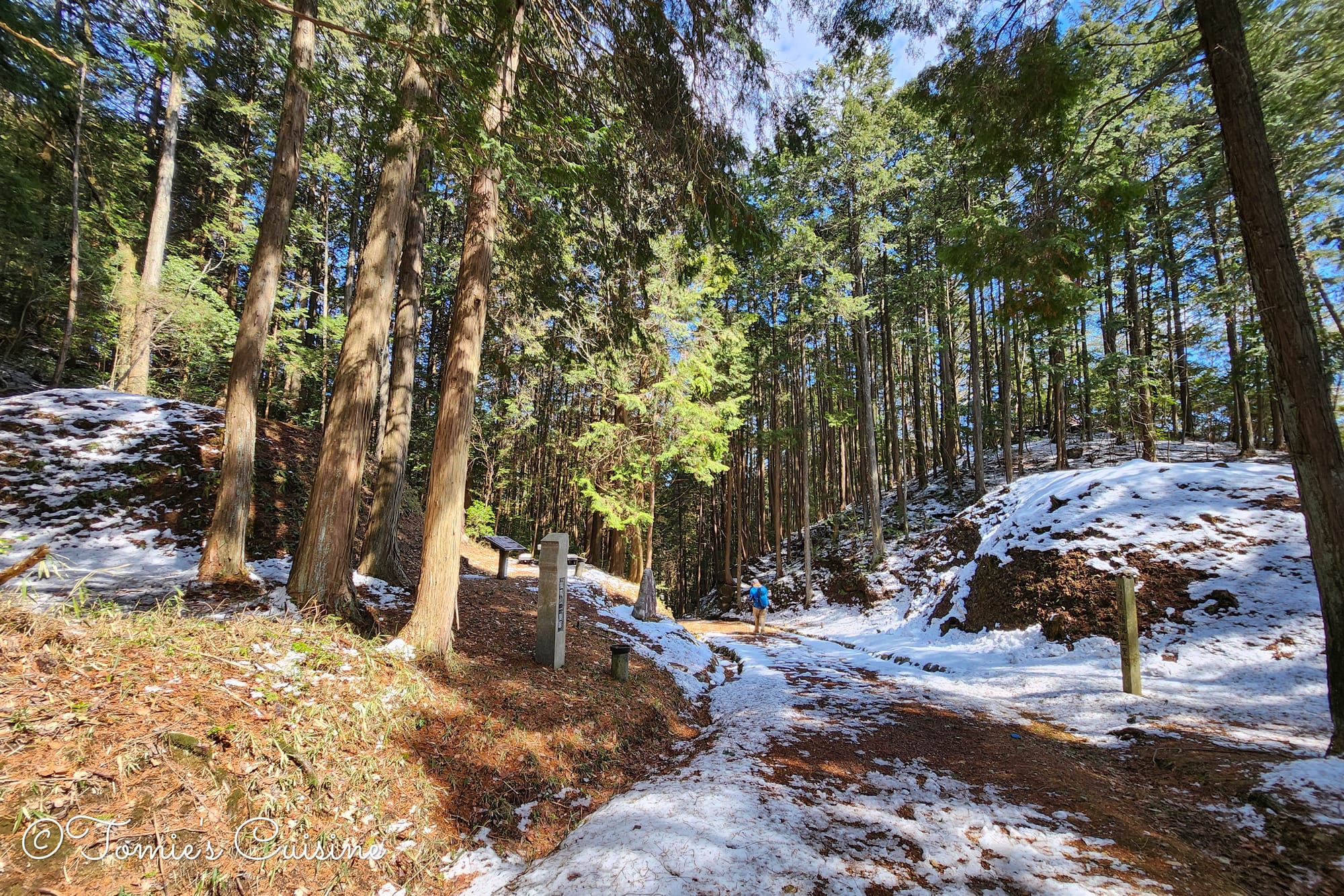
At the top of the mountain pass, Batoto-sama is watching over us.Okute is to the left!The picnic table was covered in snow.The board explains that the Okute locals are working on a project to protect the area's nature and historical sites. They planted cedar tree seedlings grown from the great cedar tree at Okute Shinmei Shrine. (You will see it in this article.)
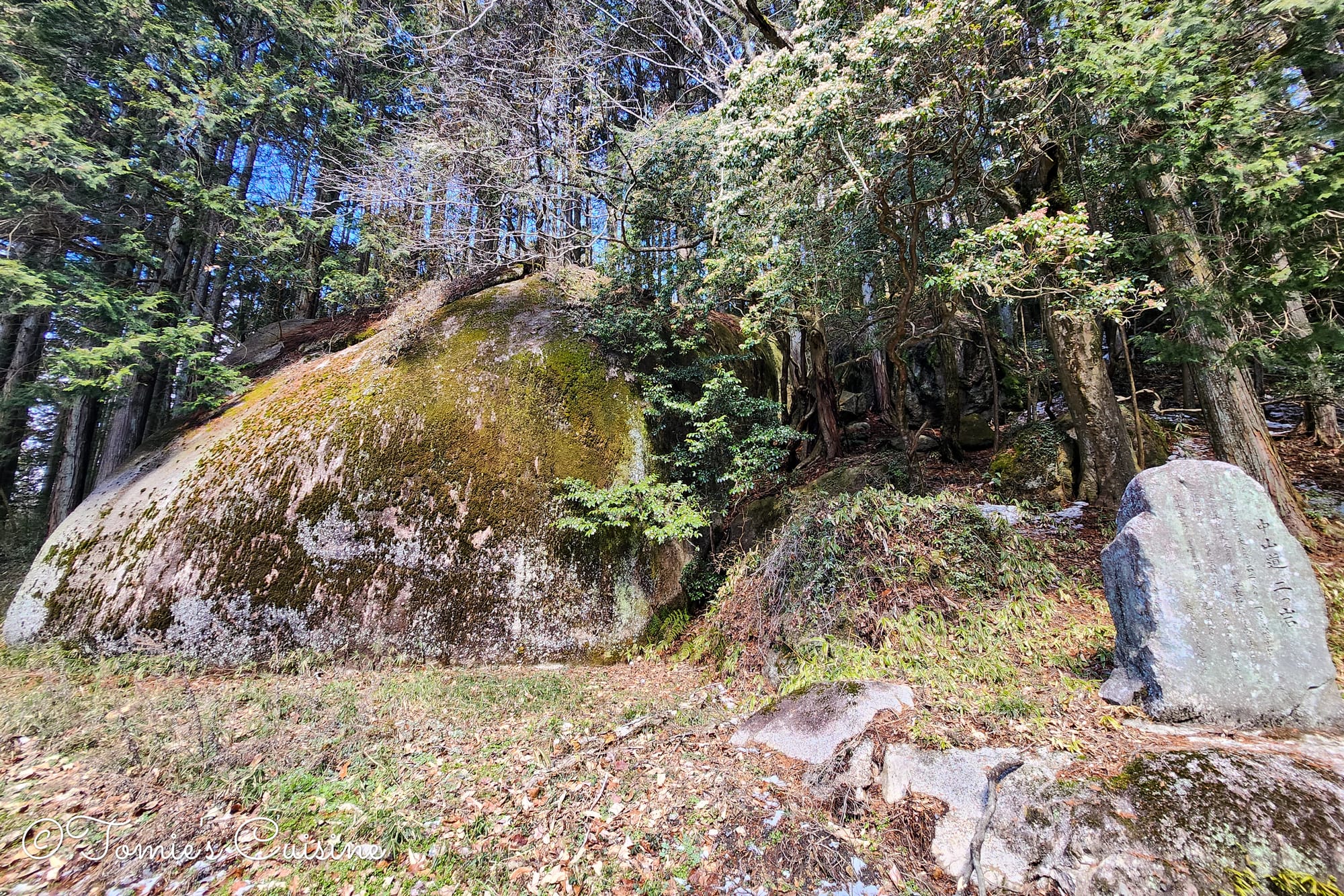
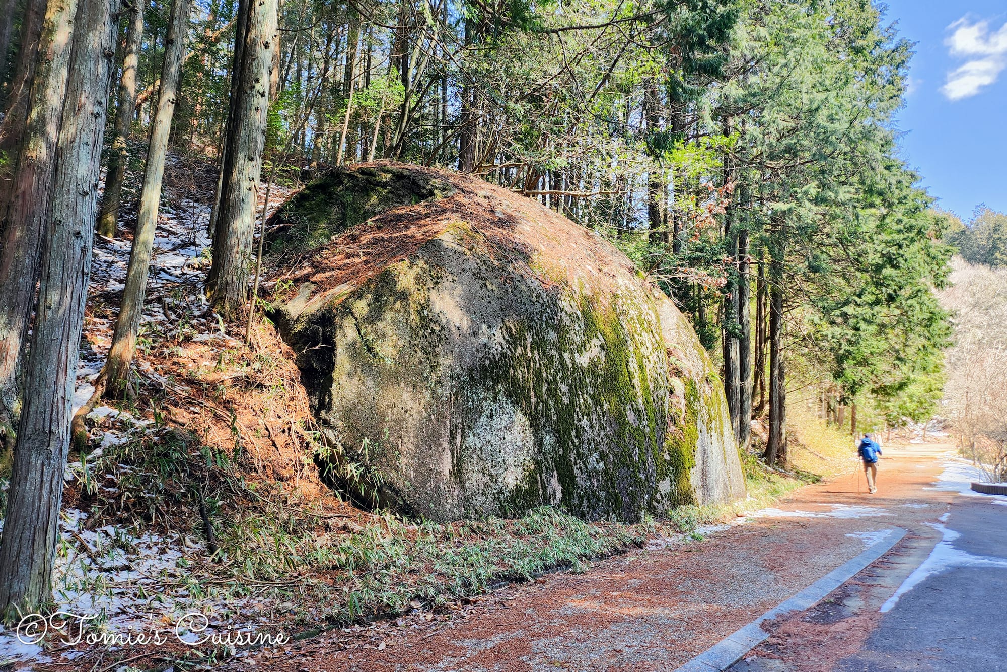
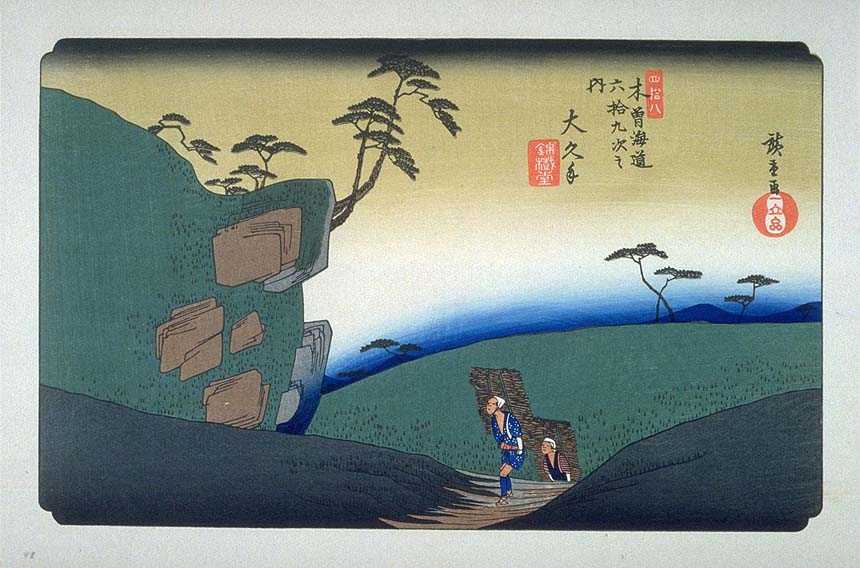
"Futatsuiwa" (means "two rocks") is a historical landmark located near Okute-juku on the Nakasendo trail. It consists of two massive boulders standing side by side, named "Eboshi-iwa (烏帽子岩)" and "Horo-iwa (母衣岩)". Legend has it that the famous powerful monk Benkei (弁慶) brought them here. This scenic spot was even depicted in a famous ukiyo-e print by Hiroshige.
歌川広重 Utagawa Hiroshige - 木曽街道六十九次 大久手 The Sixty-Nine Stations of the Kisokaido OkuteFirst sign for Okute post town.A short break with a doughnut from Mister Donut.
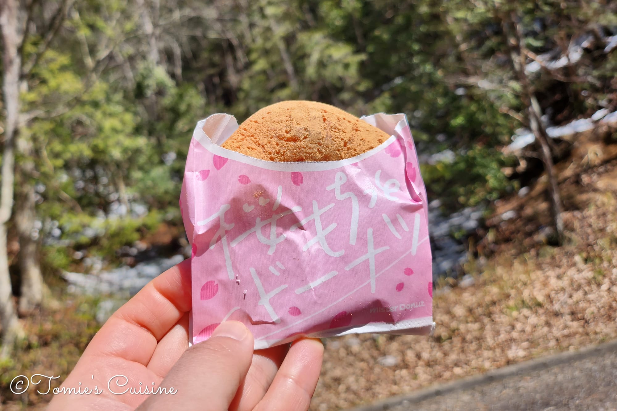
10:45 am We found a picnic table and bench, so we stopped for a quick break with the doughnuts we’d bought in Mizunami city centre.
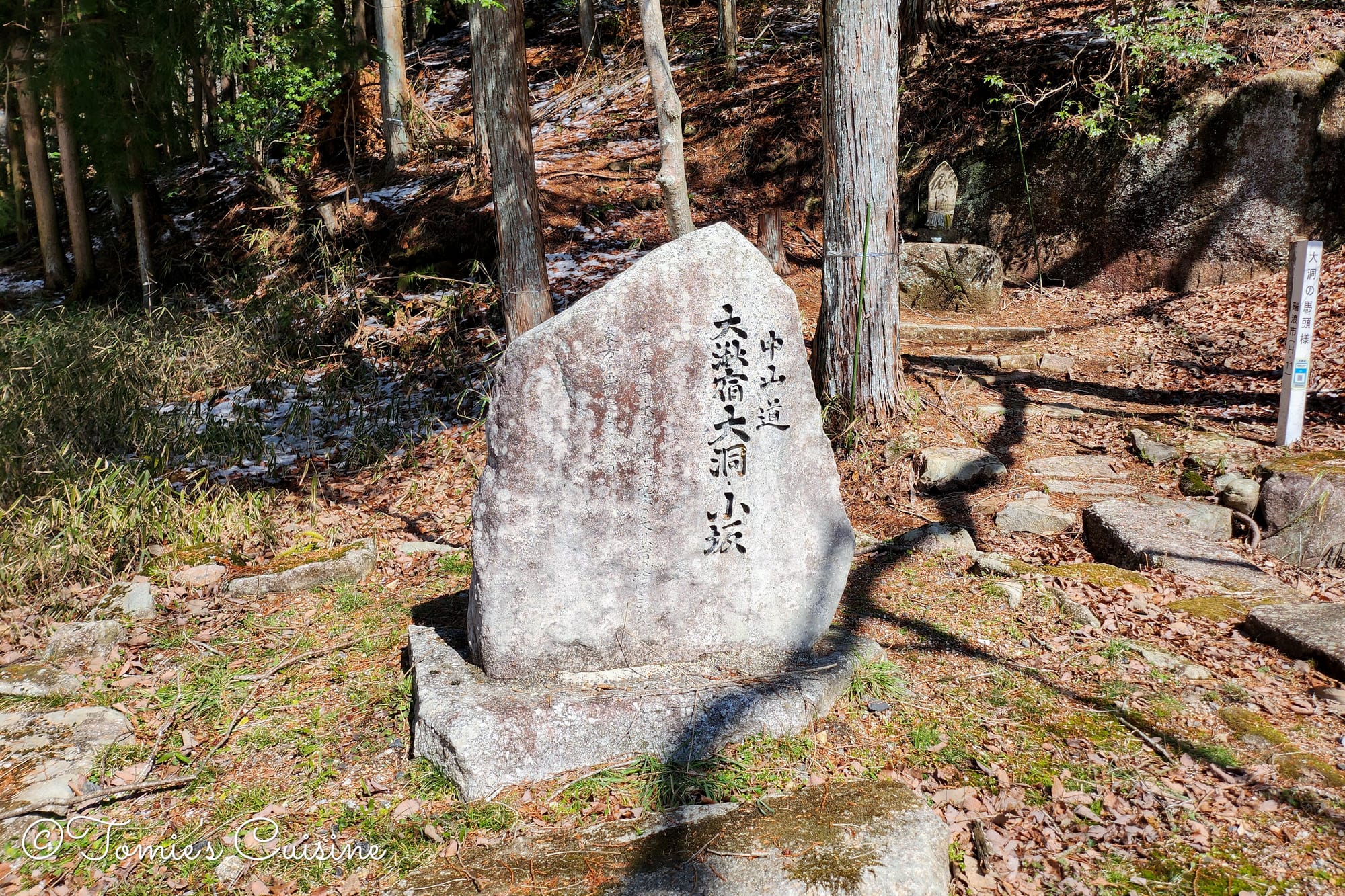
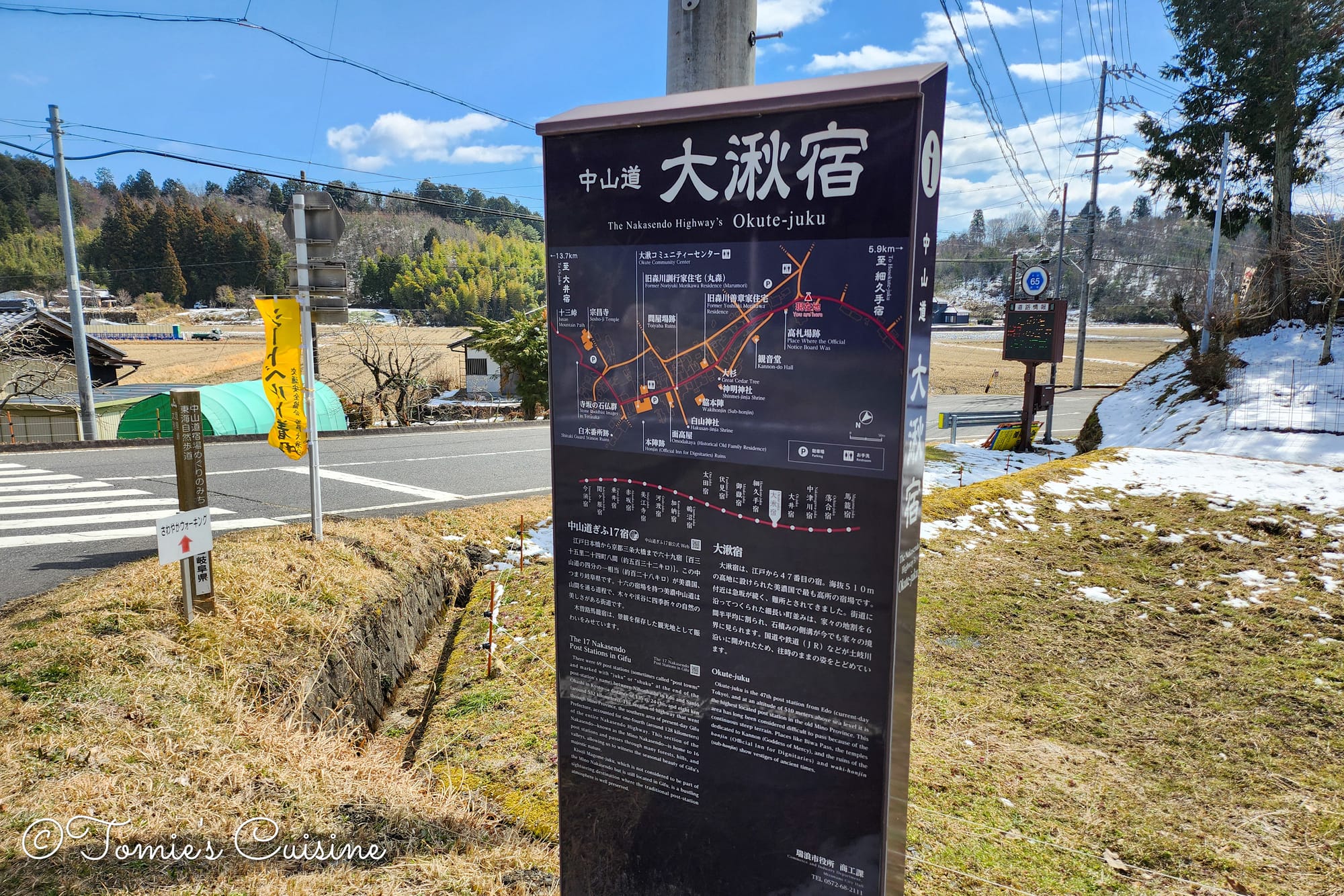
Here we were: our 23rd post town counting from Kyoto (47th from Tokyo), Okute post town!
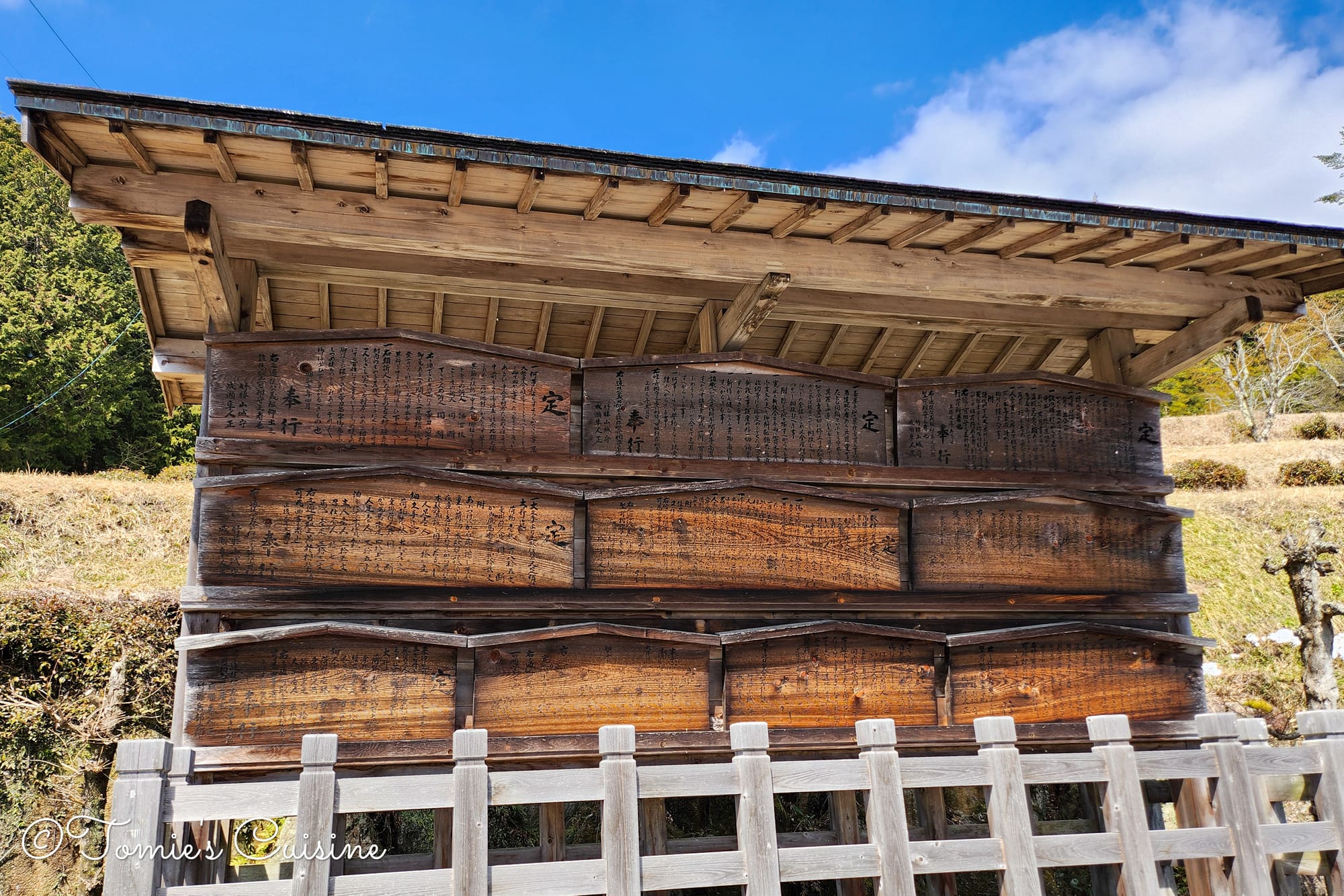
Right at the start of the town, we spotted the Kosatsuba, the old public notice board.
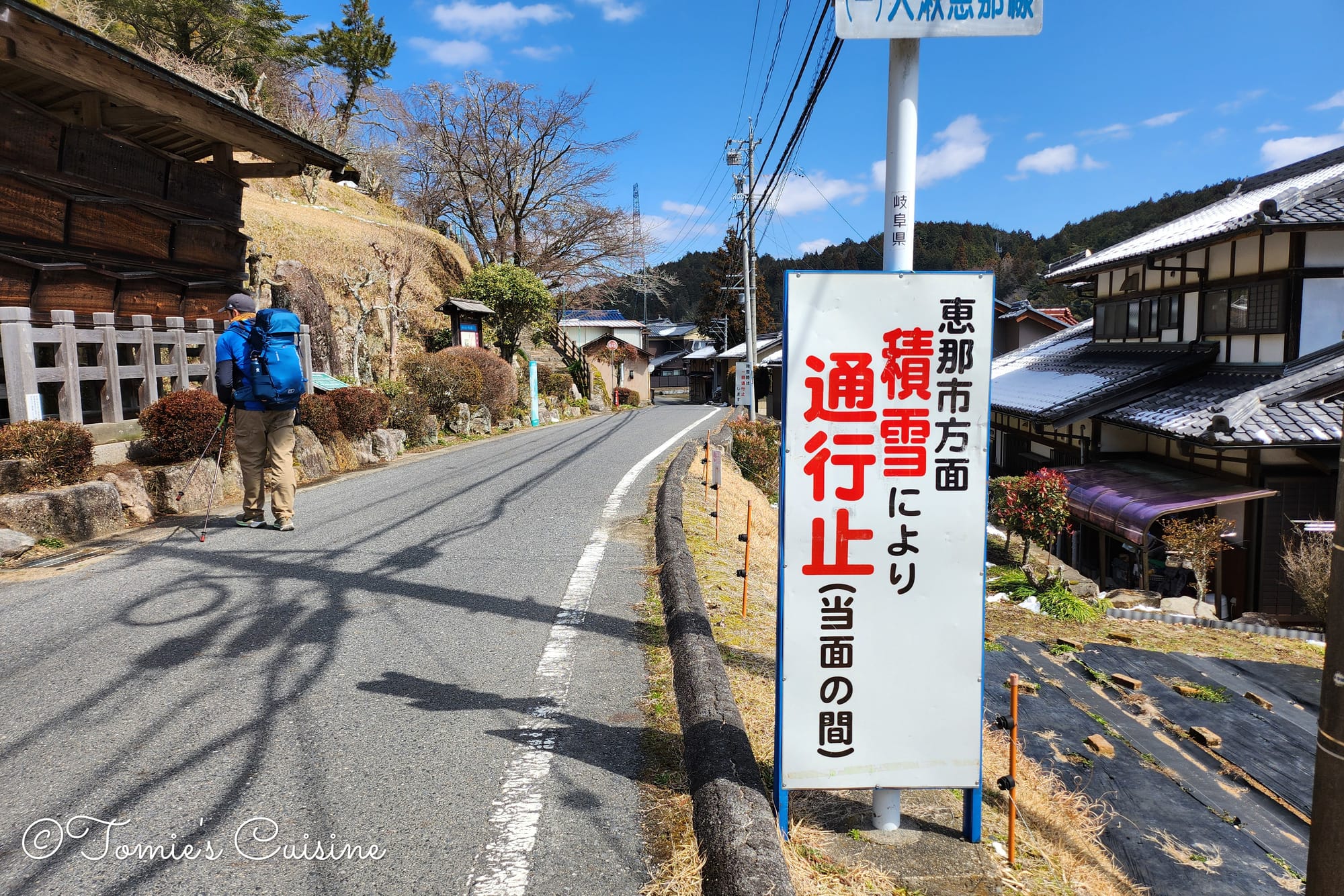
This sign gave us pause:
“Towards Ena City, road closed due to snow accumulation (until further notice).”
Since Ooi, our next post town, is in Ena City, we started worrying about whether we’d be able to reach it that day. We asked around at the tourist information centre, and were told the path was fine, so we decided to carry on.
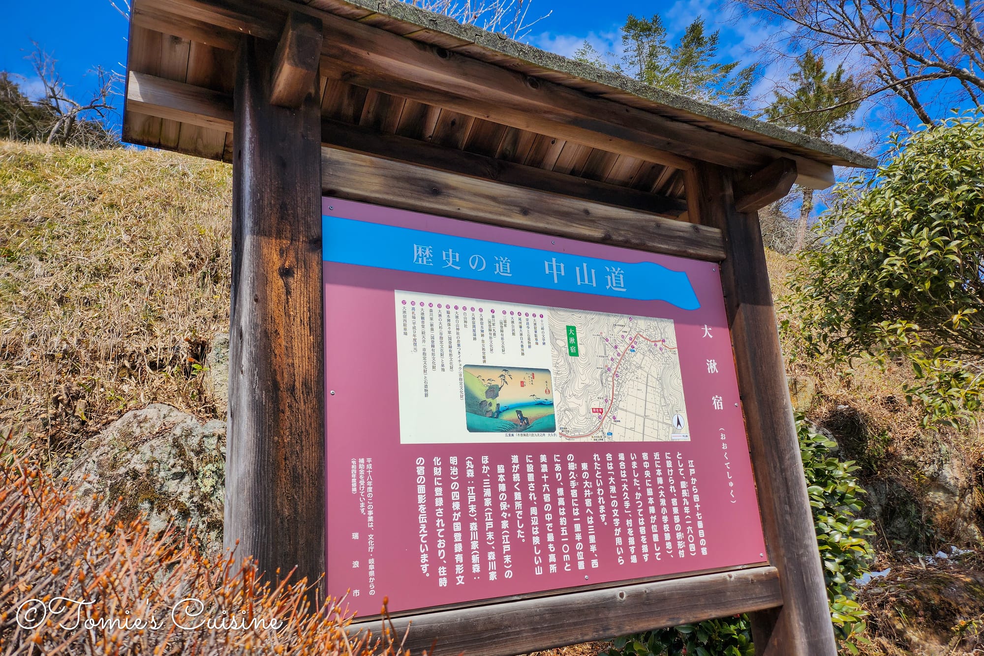
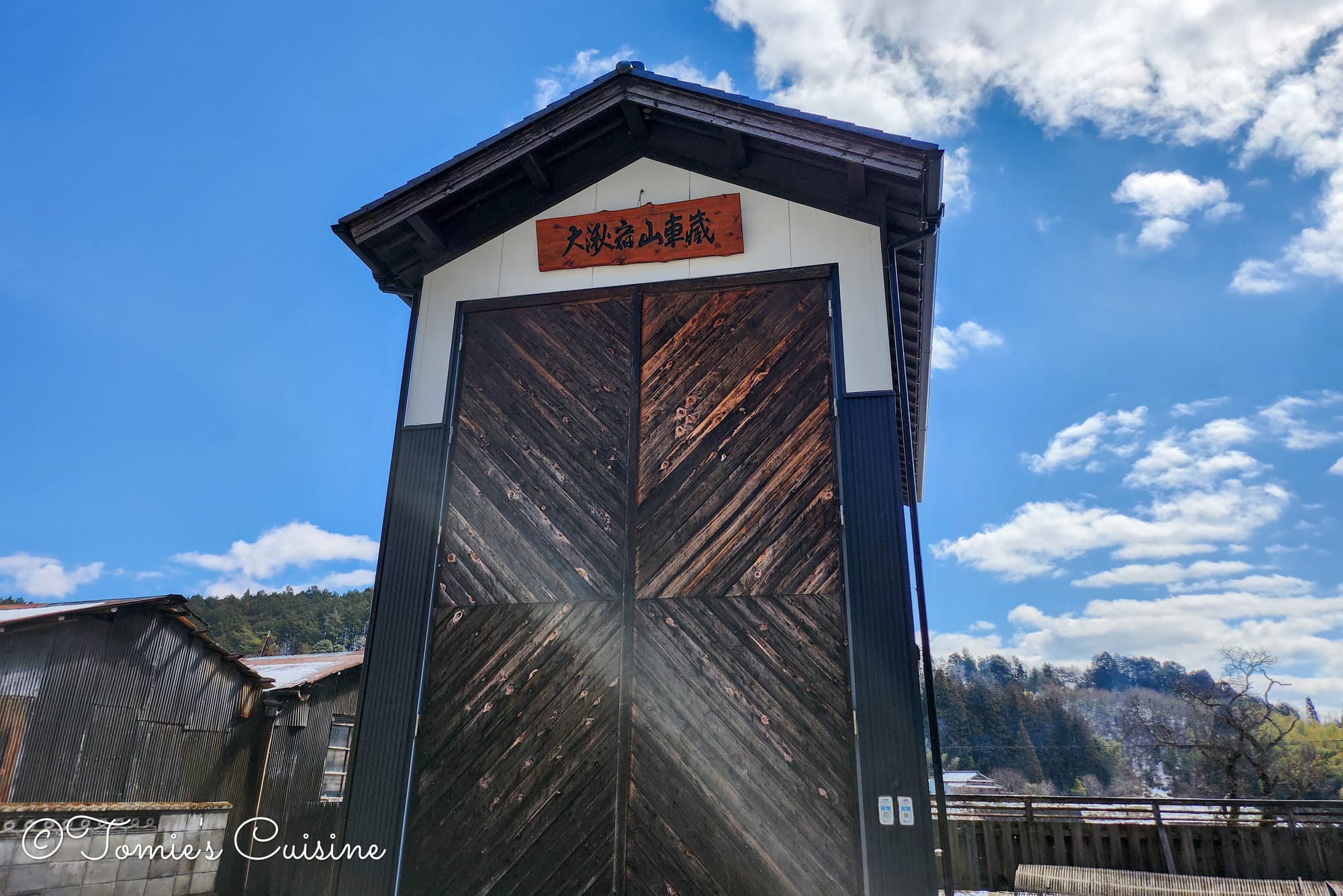
Information board about Okute post town.We saw the special storehouse where they keep the giant festival float they use every October.
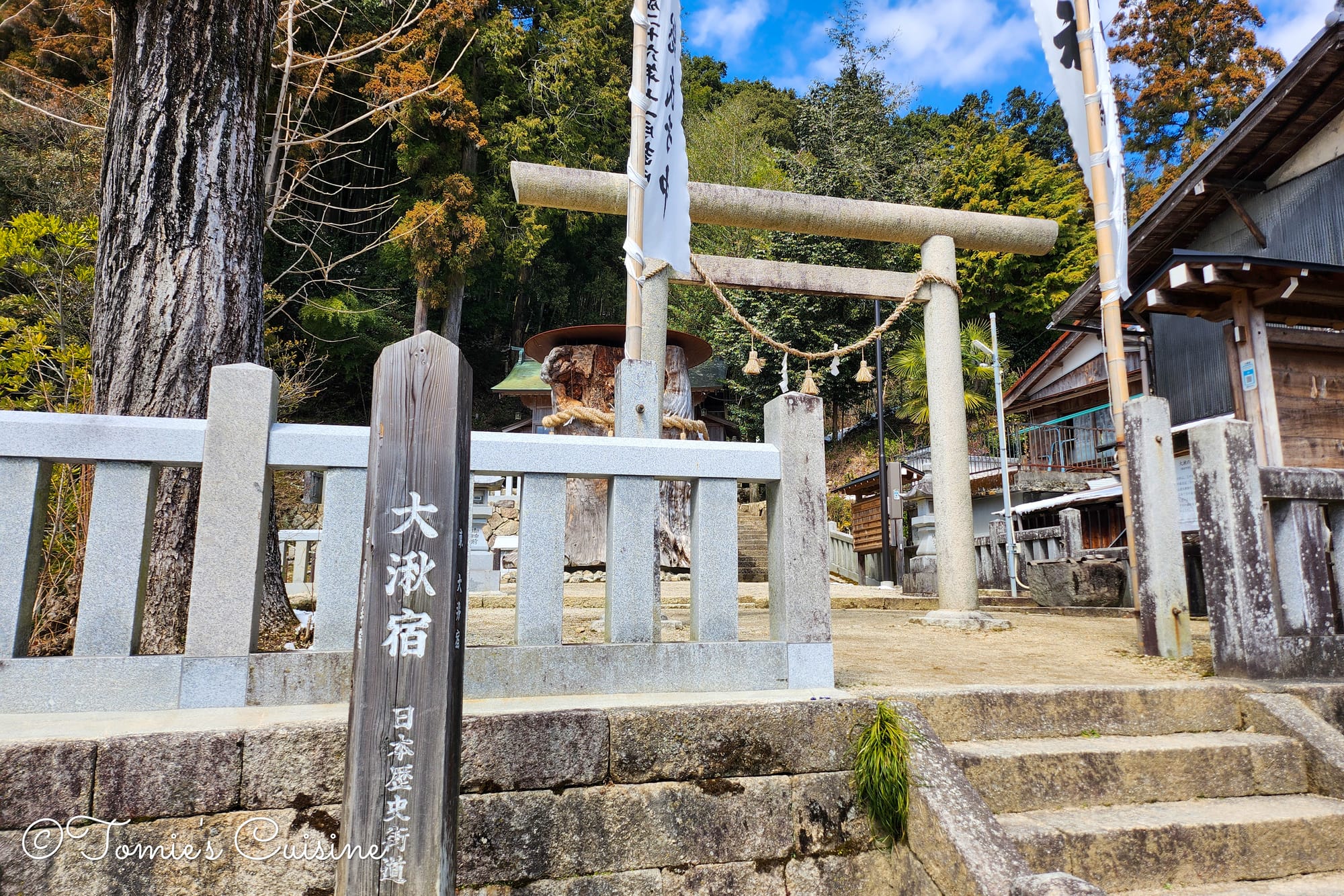
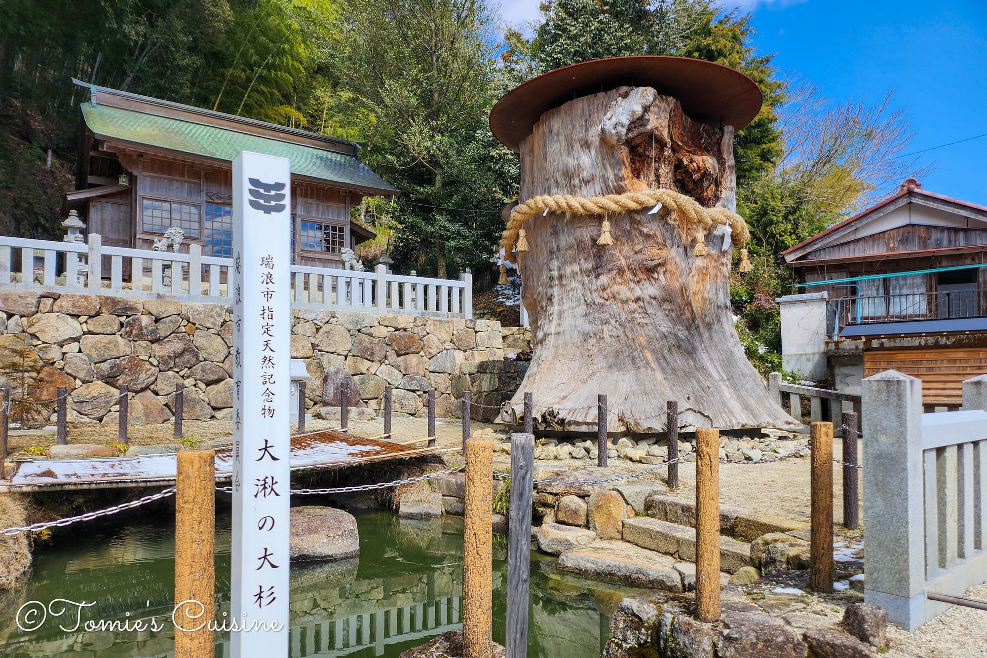
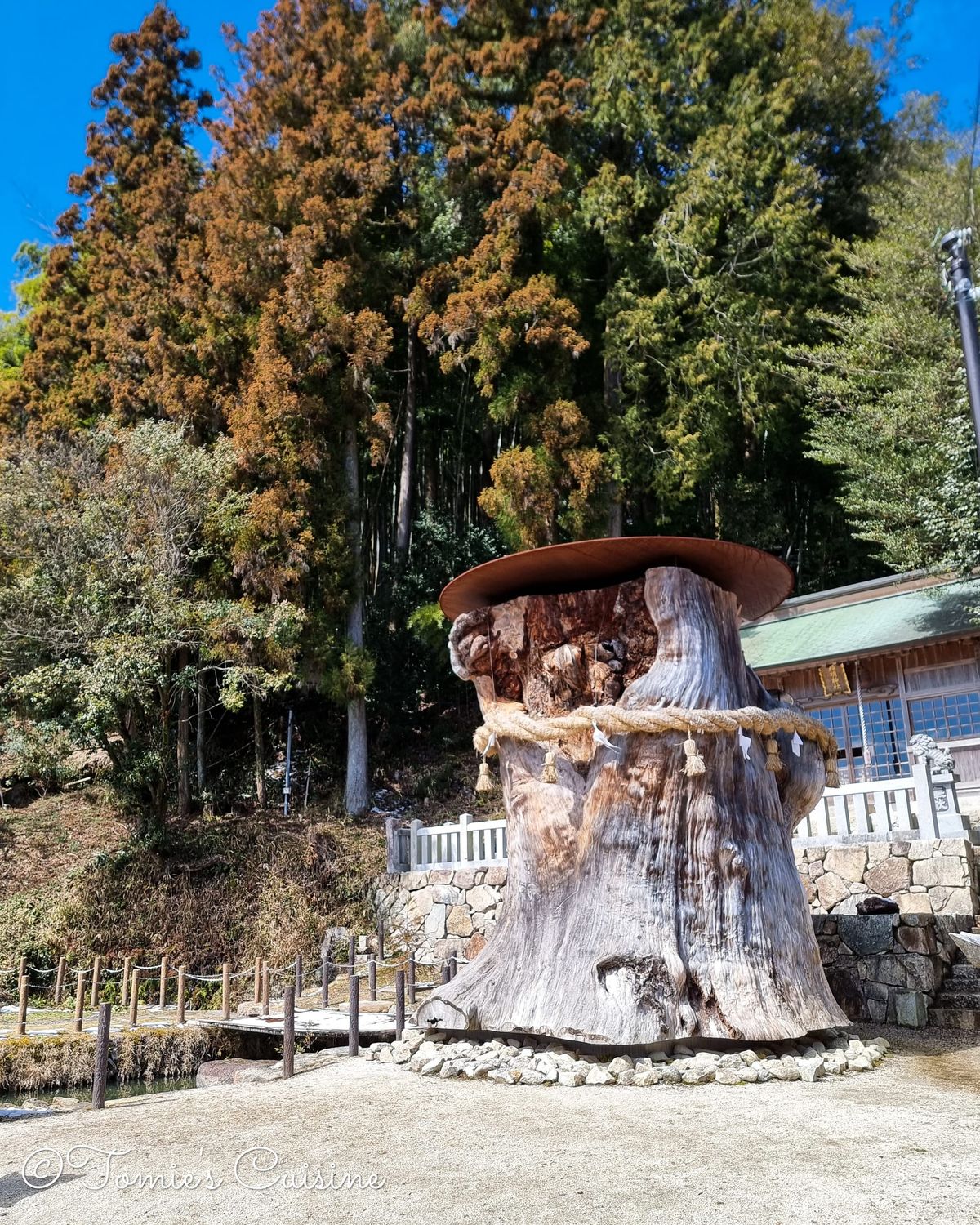
We were looking forward to seeing the old cedar tree here, but sadly it fell in a heavy storm in 2020. It had stood for over 1,300 years and had been a designated natural monument of Gifu Prefecture since 1956. Back when the Nakasendo was the main road between Tokyo and Kyoto, travellers used to enjoy the spring water that flowed from the base of the tree.
We could still see the trunk, and it’s enormous. It really shows just how long that tree had been there.
You can see the Great Cedar of Okute from 2014 in this YouTube video (around 3:00). He did the whole Nakasendo trip, so we watched it to plan our trip.
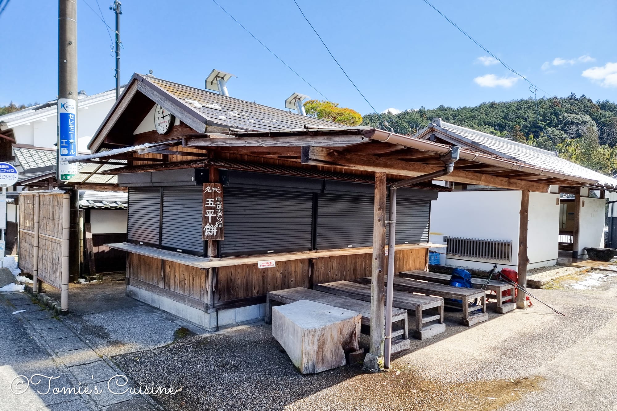
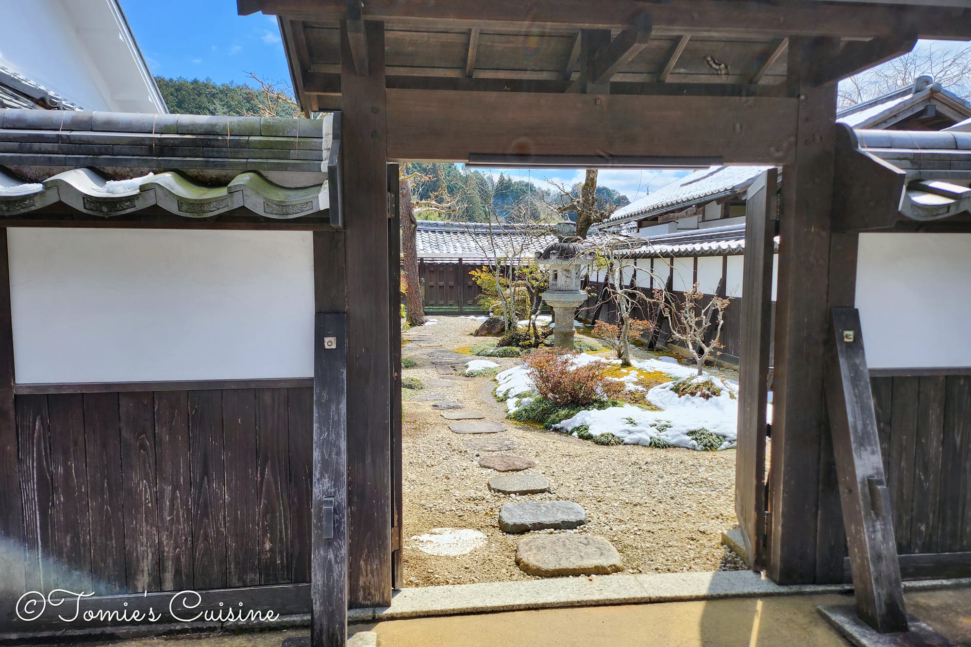
The food stand serving a local delicacy was closed on Thursday.The garden we could see from the street is located in the Marumori property(tourist information centre).
The information centre had an exhibition of Hina dolls.
We’d only planned to pop in for about five minutes, as we were keen to press on to Ooi in time for the Nakasendo Museum. But we ended up settling in with a friendly local lady who worked there, who told us about the post town and the exhibition inside. She invited us to sit by the heater and served us a cup of hot salted kelp tea. (Just writing about it now brings the moment back, and it still makes me smile.) In the end we stayed for ten or fifteen minutes, even though we kept trying to leave. We’ll definitely go back and take our time in this post town properly. It’s small, but there’s a lot to see, and the locals are wonderful to talk to.
Get prepared to go to Okute (or Hosokute) post town.
As we mentioned, Okute is beautiful but genuinely remote. Unless you’re driving, getting there takes a bit of planning. The nearest station is JR Kamado station, from which you can:
Walk around 4km uphill, or
Take a bus (on a very limited timetable)
You can also book the community taxi we used to reach Mizunami city centre from Hosokute, but that service only runs from Mizunami station, on a fixed and limited schedule. If your timing lines up with it, it’s the best option.
There are no shops in Okute either, just a café and a food stand that only open on weekends or around lunchtime. If you’re planning to stay overnight (there’s one guesthouse with a kitchen), bring enough food with you.
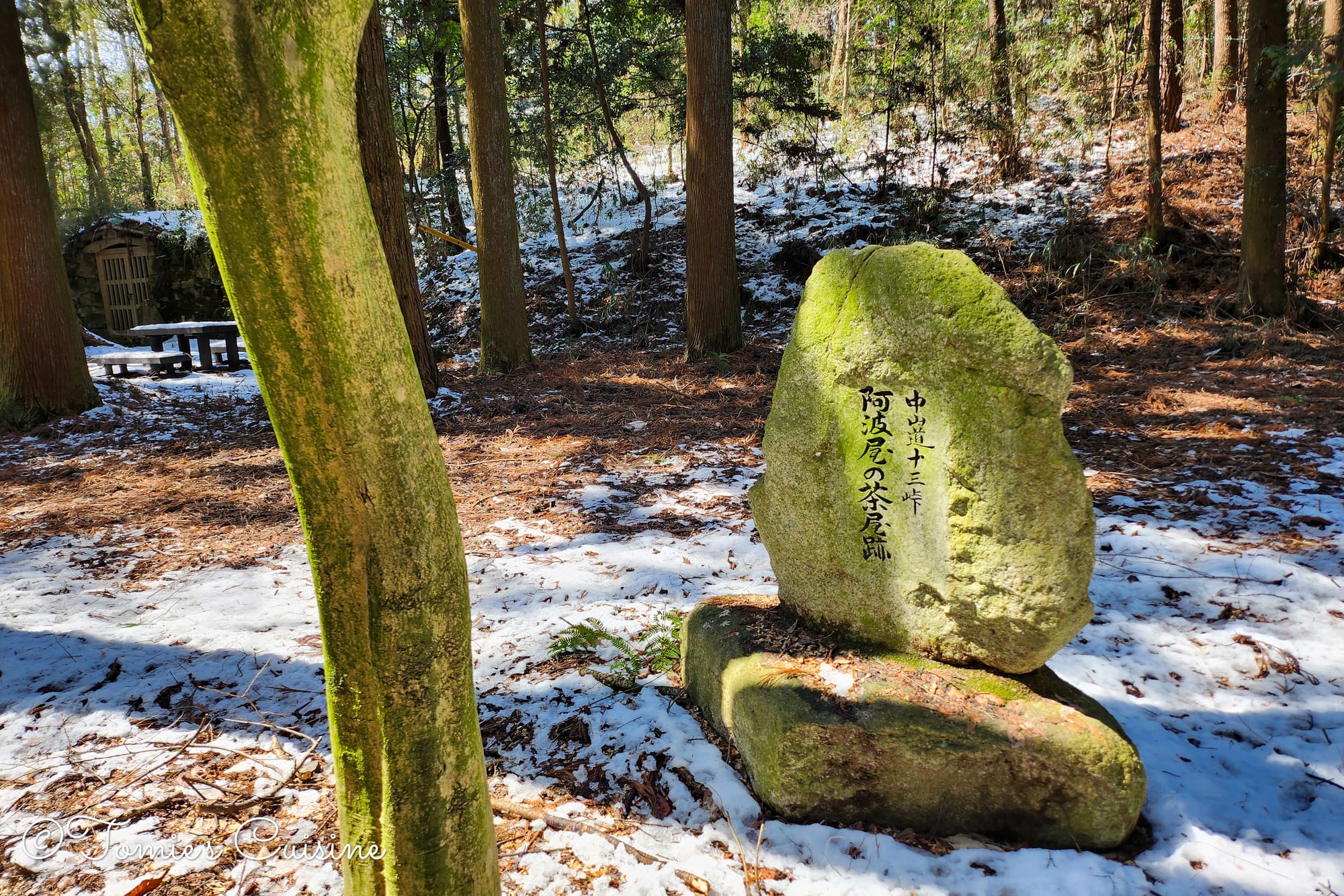
11:50 am The beginning of Jusan Mountain Pass 十三峠入り口
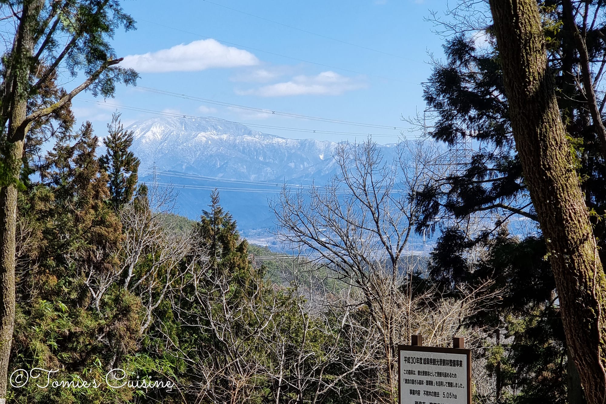
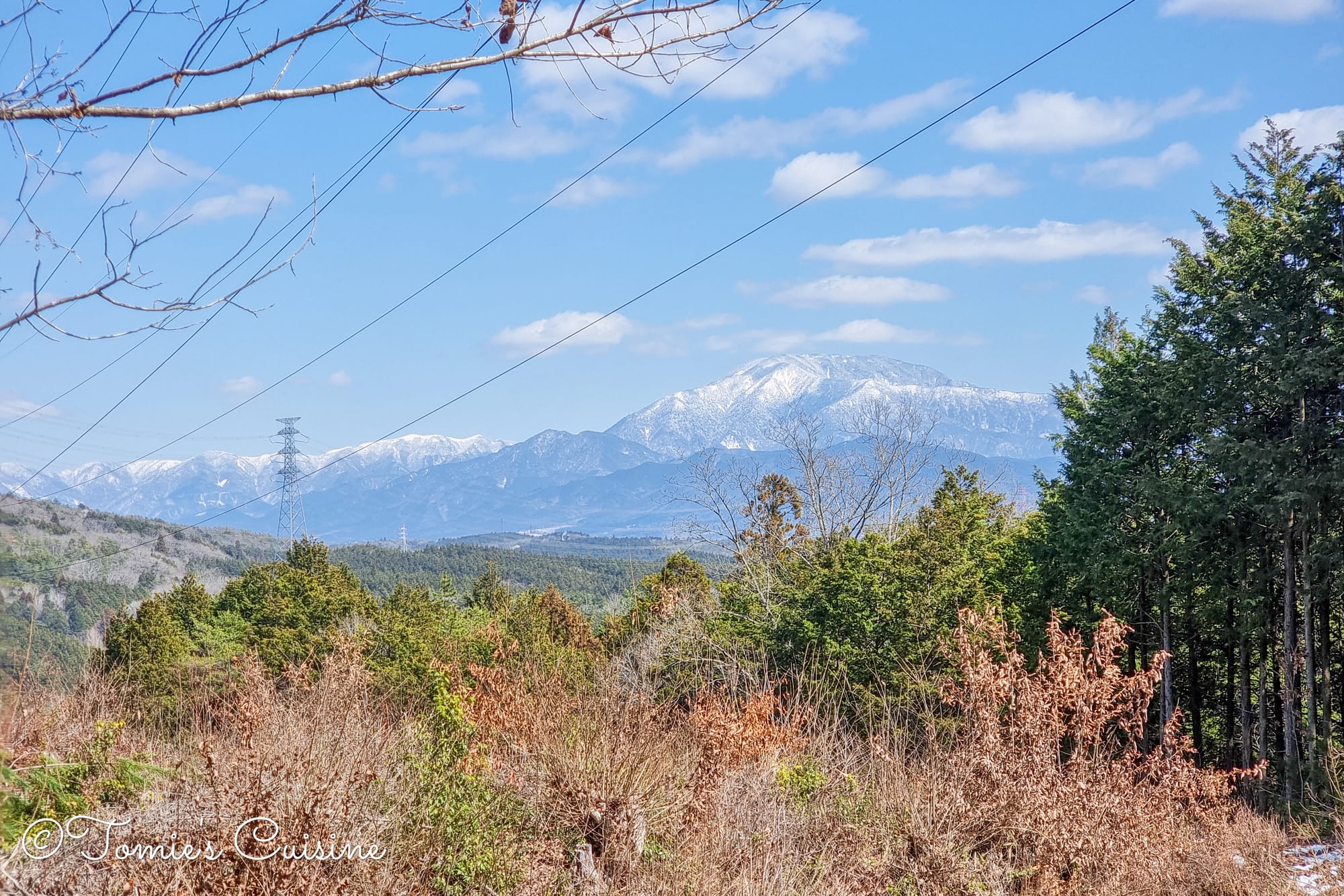
11:57 am We could see the beautiful view of Mount Ena from there.
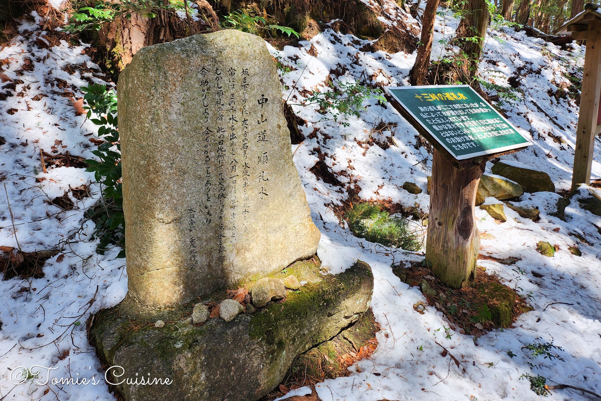
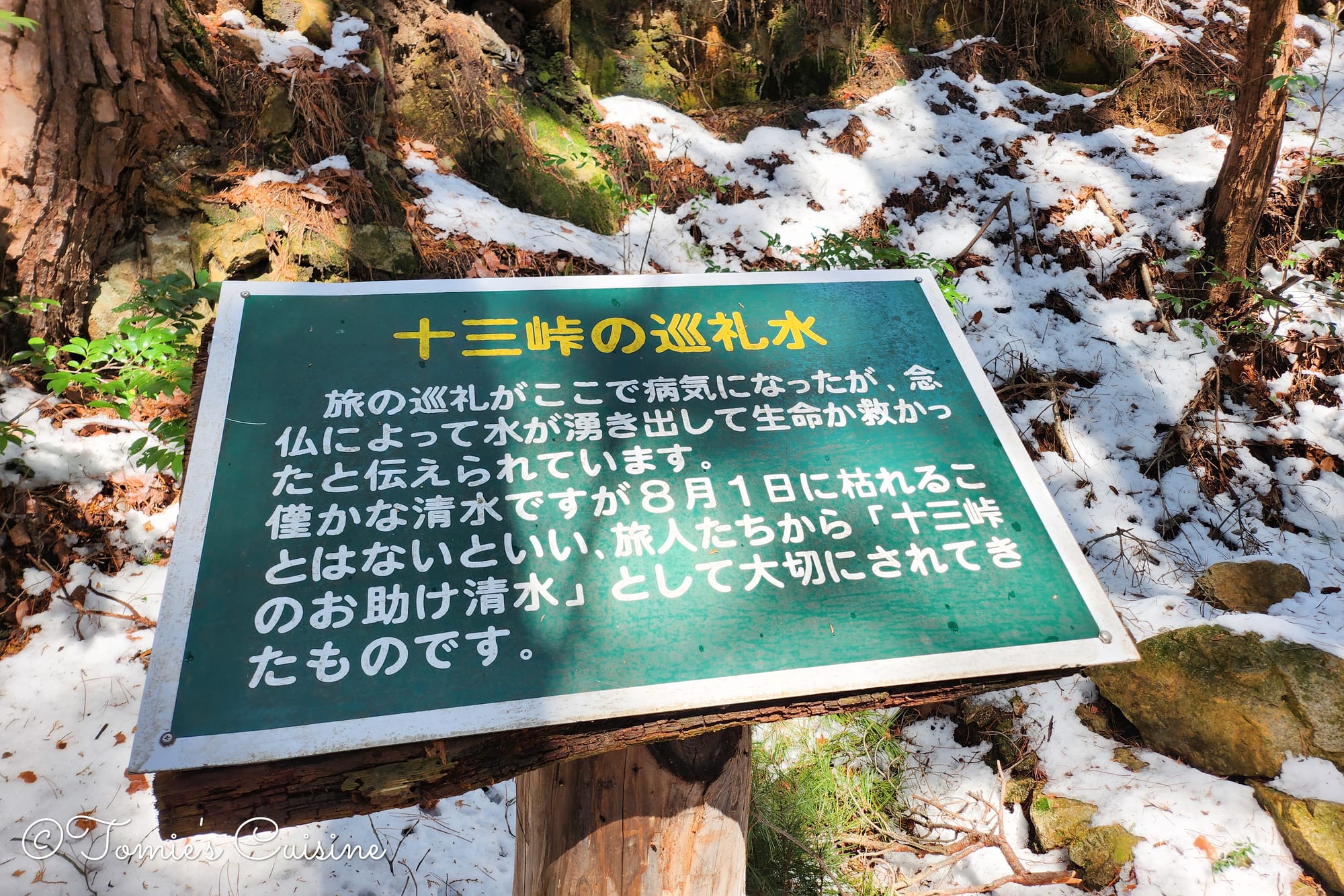
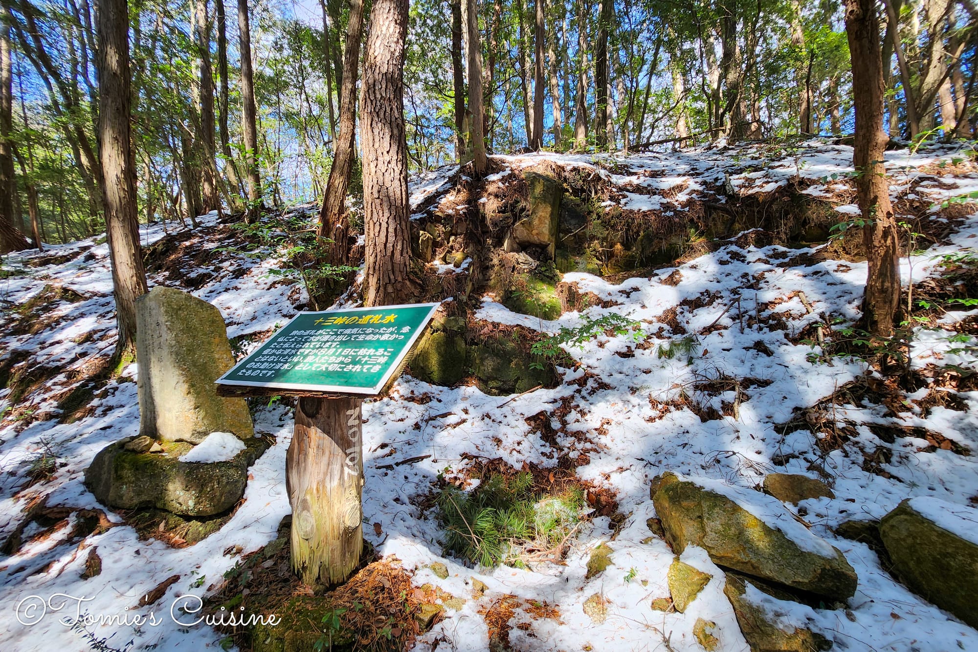
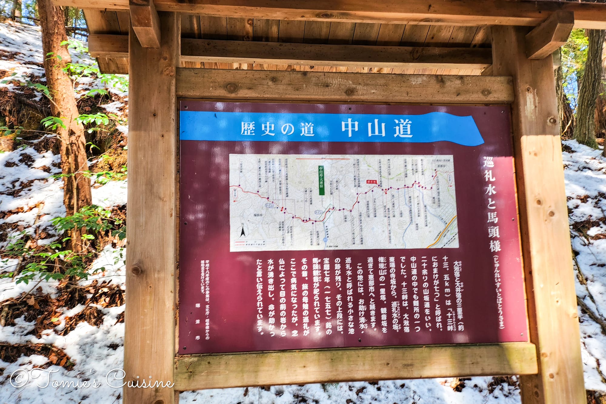
There’s a legend attached to this spot: a travelling family fell ill here, prayed, and water sprang from a rock in front of them, saving them. The spring has never dried up since, not even in summer, and travellers have protected it ever since as a “lifesaving spring”.
Fukagaya Tachiba has a table and benches, so we stopped for lunch. The one thing I clearly remember eating is the roasted sweet potato we’d bought at the supermarket in Mizunami the day before, along with a few other things we could carry at room temperature, like fish sausage and some Japanese sweets such as daifuku. It was a little chilly, so we treated ourselves to a hot coffee and a hot sweetcorn soup from the vending machine there. There’s also a clean public toilet, making it a perfect lunch stop.
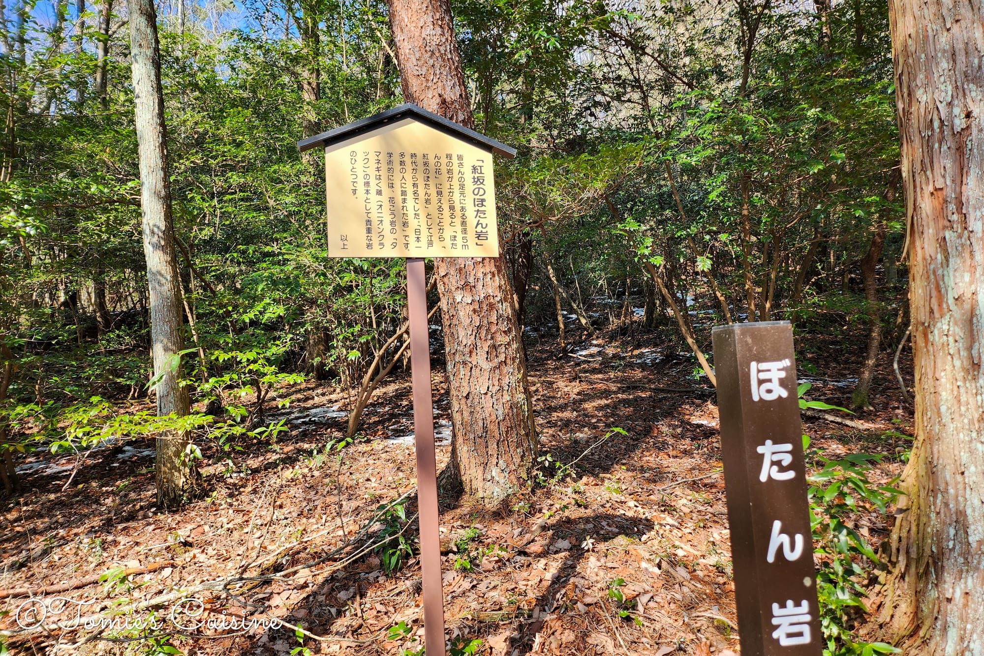
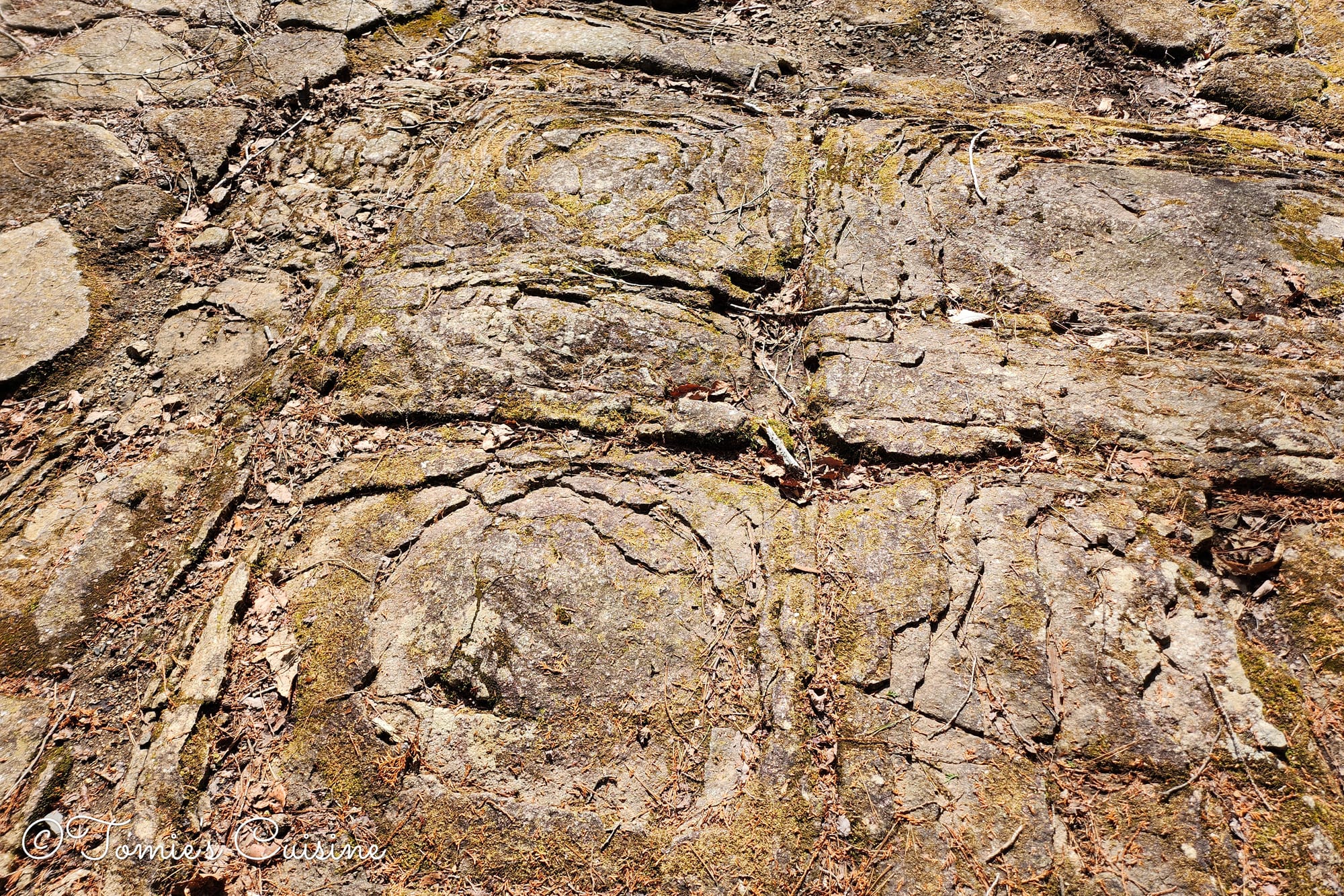
Look at this rock, doesn’t it look like a flower? It’s called “Botan Iwa”, meaning “peony rock”, because of its resemblance to a peony flower. Geologically, it’s known as an “onion crack” formation in granite. The rock has been famous since the Edo period, when samurai, merchants and travellers walked right over it for centuries. During that era especially, this trail was so busy that it may well be the most-stepped-on rock in Japan.
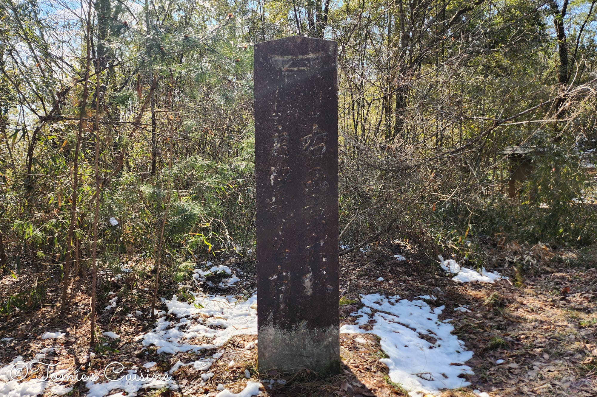
2:24 pm Benisaka ichirizuka. Another well-preserved Ichirizuka, with mounds on both sides.
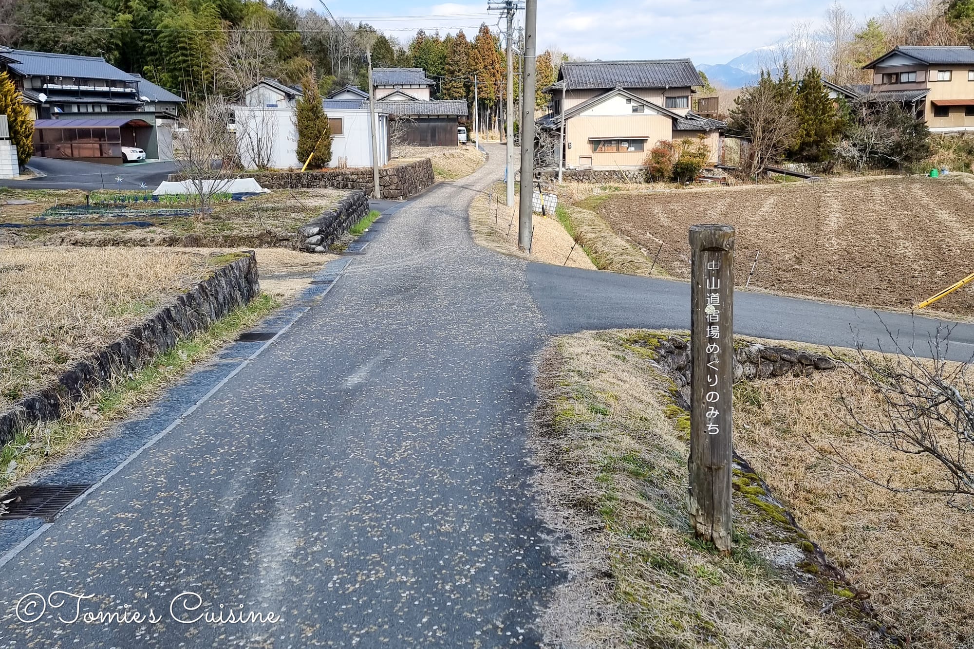
Back in the residential area, with a sign that read "Nakasendo post town trail".
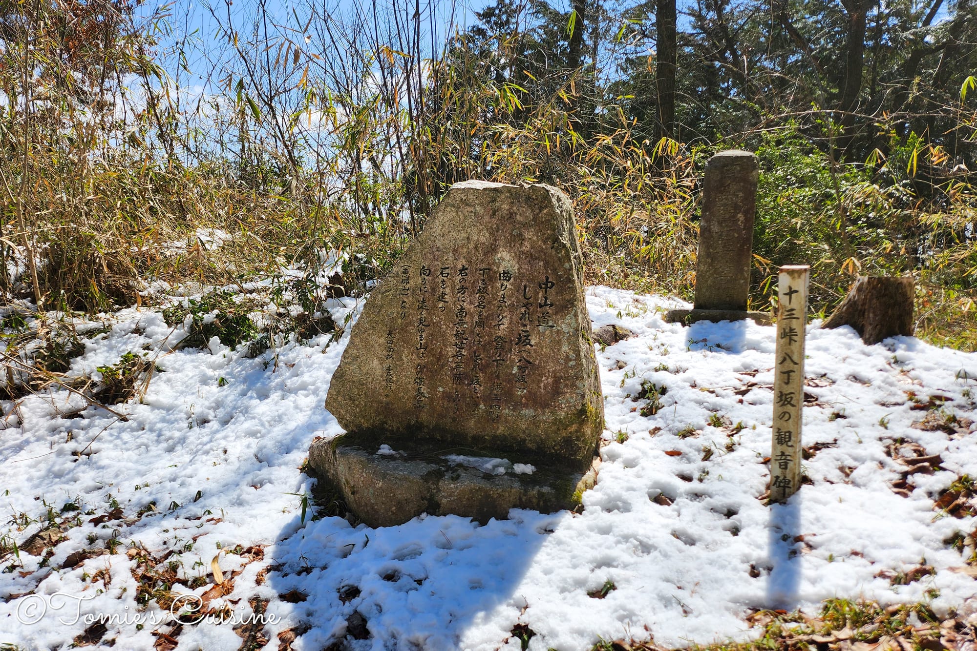
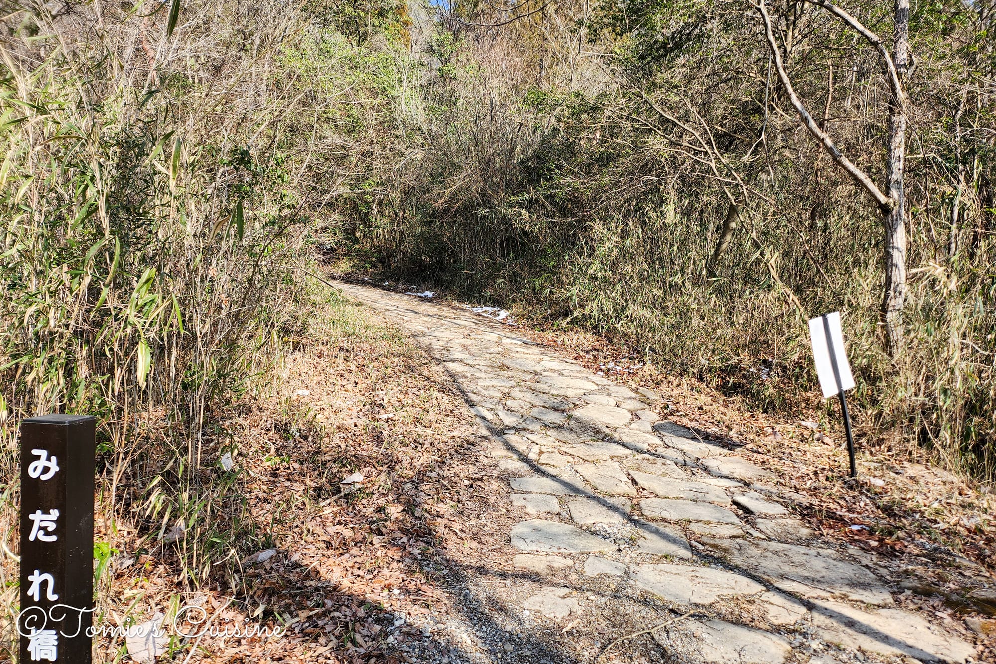
Back in the day, this slope was steep enough to break up a daimyo’s procession, catch travellers off guard, and leave the hems of their kimonos in disarray. In Japanese, this state of disorder is called “midareru” (乱れる), which gives the slope its name.
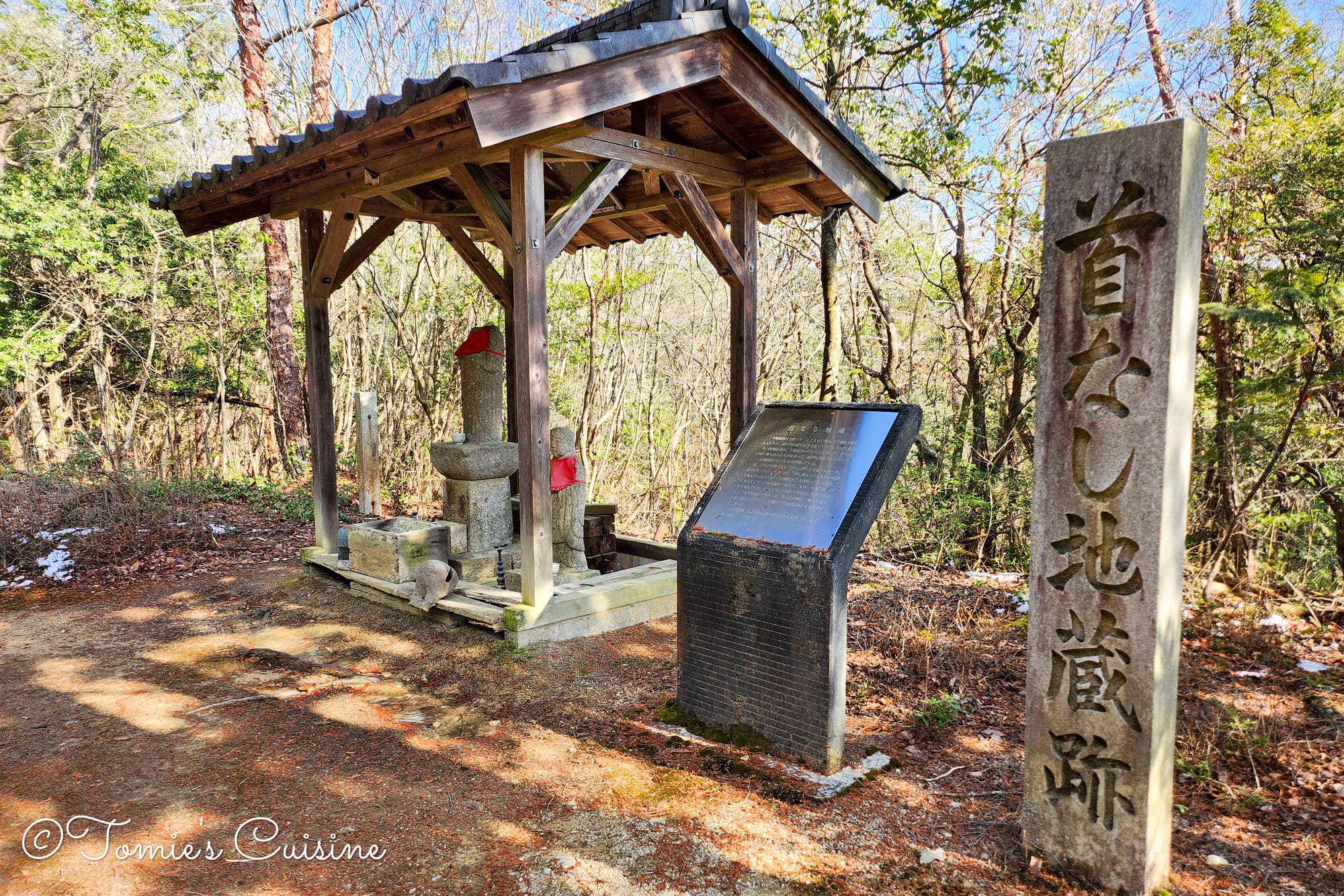
This jizo statue was built in 1756 to pray for travellers’ safety. It comes with a legend attached: one summer day, two travellers napped beside the statue. When one woke up, he found his companion’s head missing, with no one else in sight and no explanation. Furious that the jizo hadn’t protected his friend, he chopped the statue’s own head off in retaliation. It’s remained headless ever since attempts to reattach a head have never worked.
Walking the Nakasendo, we’ve been struck by how many of these unbelievable local legends turn up along the way (like the frog story from Day 6).
3:09 pm Shimo Kaido (下街道)
This secondary route, roughly 58km long, connected the castle town of Nagoya with the Nakasendo during the Edo period. It wasn’t an official government highway, but it thrived as an everyday route for commoners and as a pilgrimage path to Zenko-ji and Ise Grand Shrine.
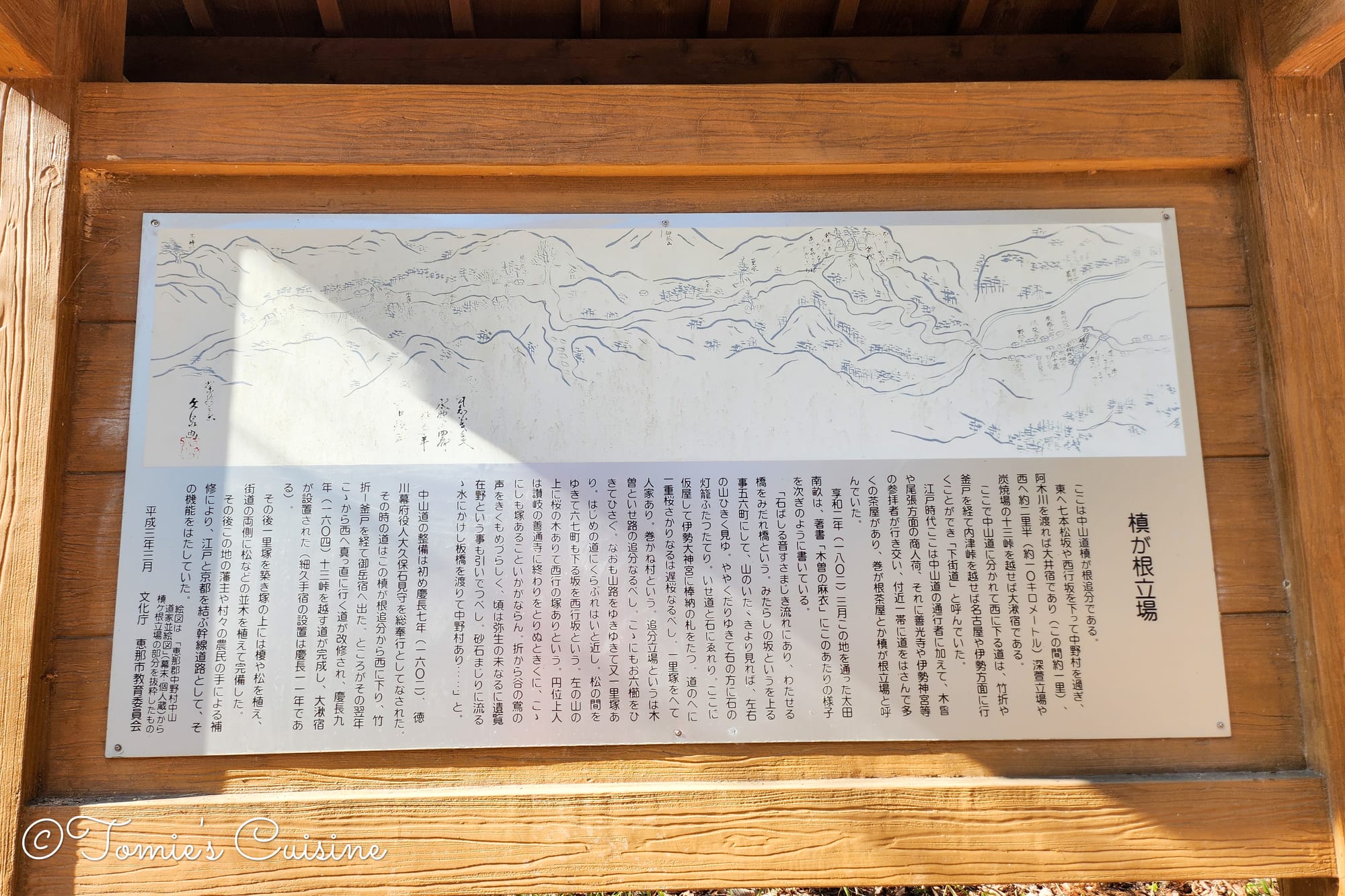
Makigane Tateba was a settlement of teahouses where travellers could rest, and a junction point, known as Makigane Oiwake, with the Shimo Kaido leading to Nagoya.
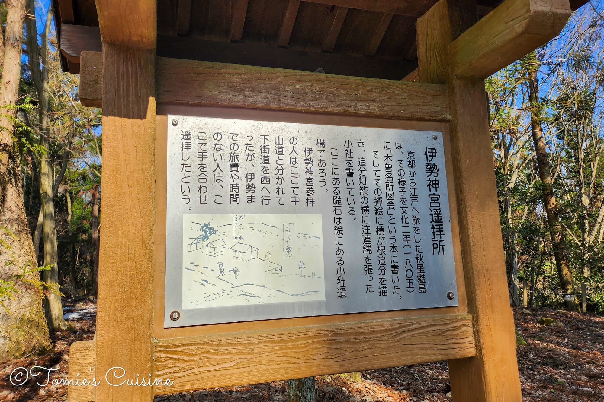
An Ise Jingu “yohaijo” (remote worship site) is a place or structure built to allow people to pay their respects and offer prayers towards Ise Jingu in Mie Prefecture from a distance.
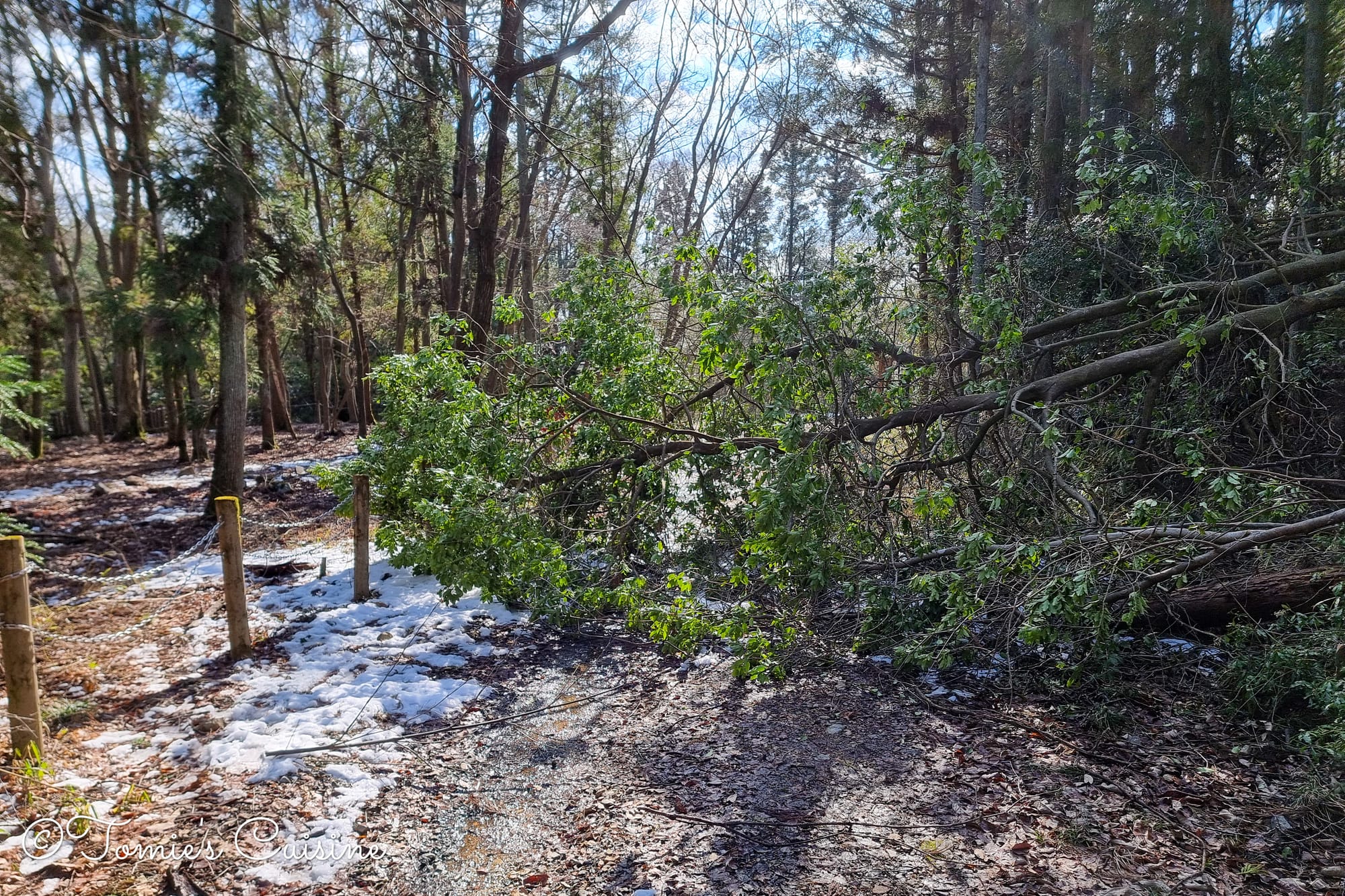
The tree blocked our way, but we managed to get through. This was caused by the wind and snowfall two days ago.
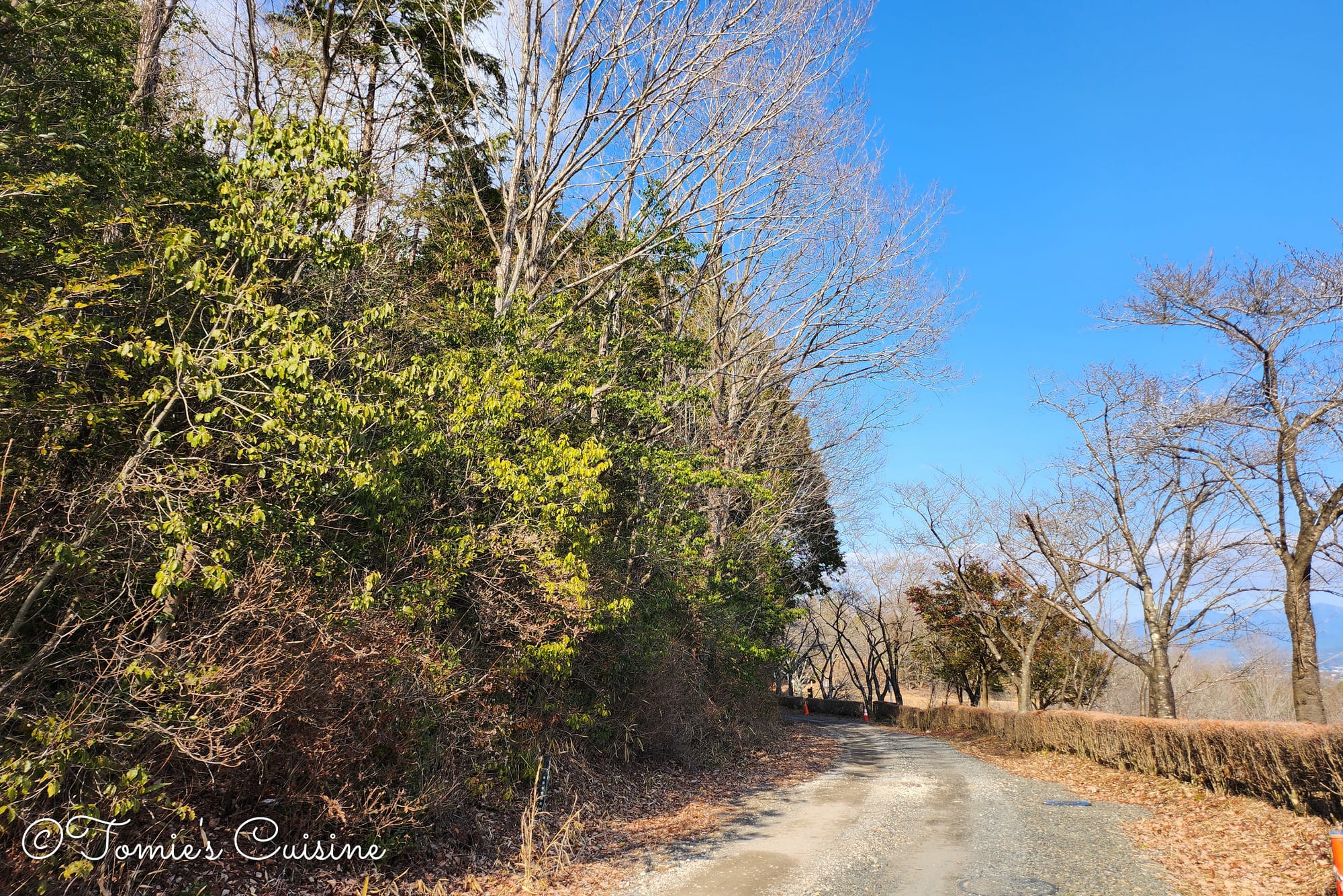
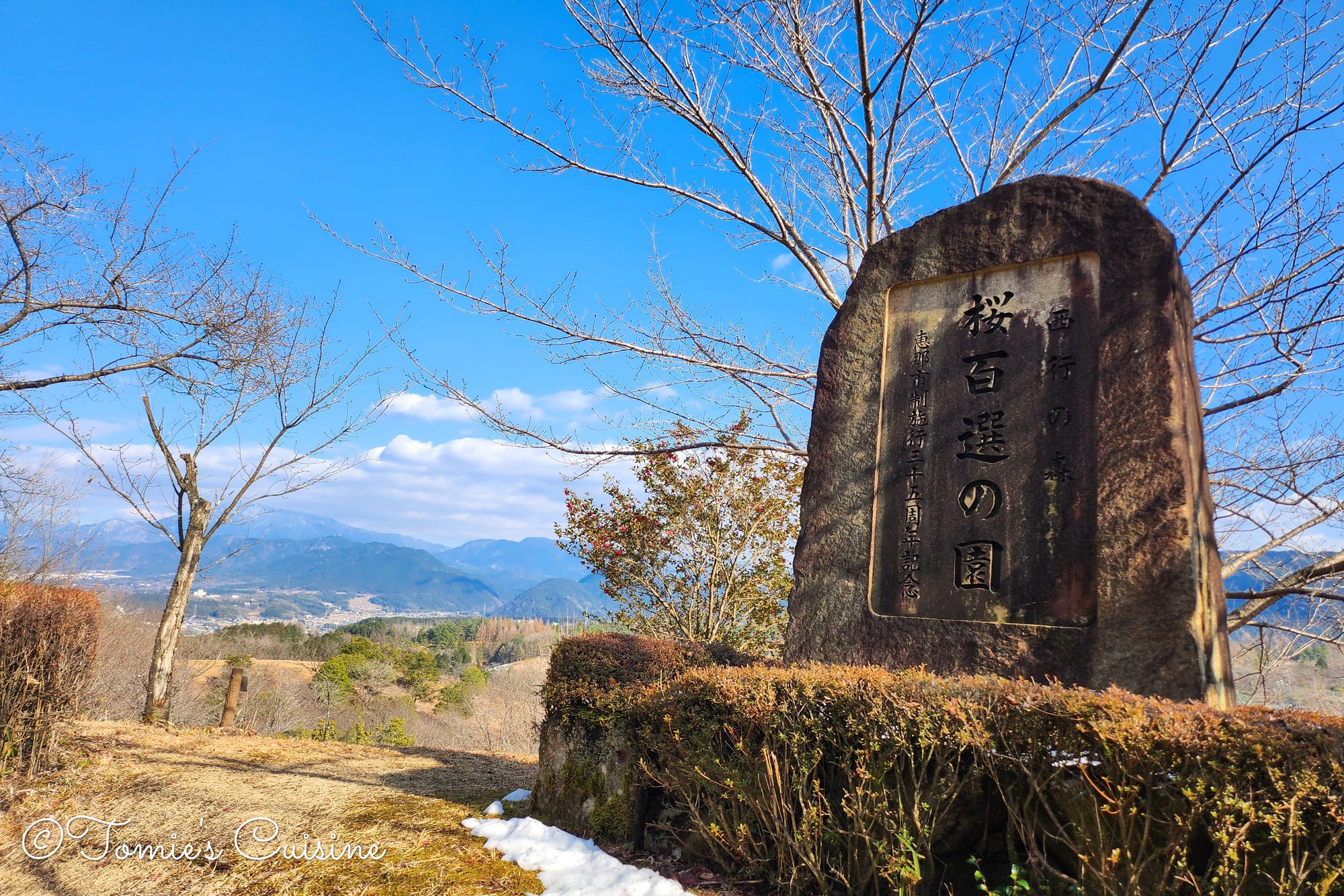
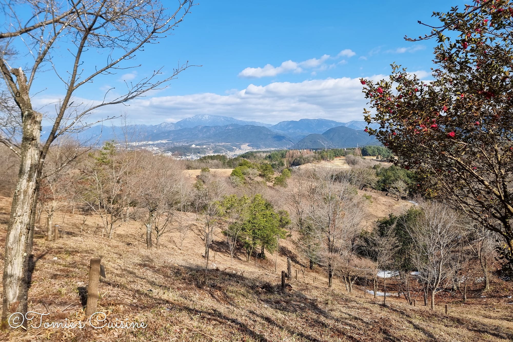
The view of the cherry blossom park and an ichirizuka milestone.
This 14.8-hectare park is known for around 136 cherry trees across 100 varieties. We were a little too early for the blossom.
We met a lovely local
When we reached the park’s car park, we met a lady waiting by her car. We said hello, and she came over for a chat. We explained what we were doing, and she told us her friend was running the entire Nakasendo trail and that she was waiting for him to arrive (we can’t recall exactly where he’d started from). She was so warm and kind, and gave us some sweets to keep our energy up.
3:40 Jusan Toge east entrance
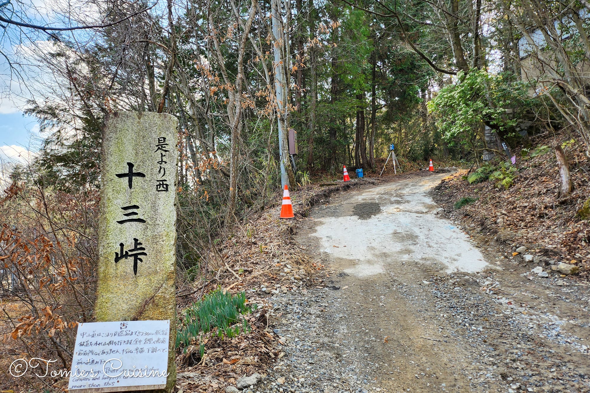
Jusan Toge Mountain Pass stone sign with a handwritten caution board saying there are no shops or accommodations until Mitake Post Town.Getting closer to the Ena city centre.
3:58 pm Ooi post town 大井宿
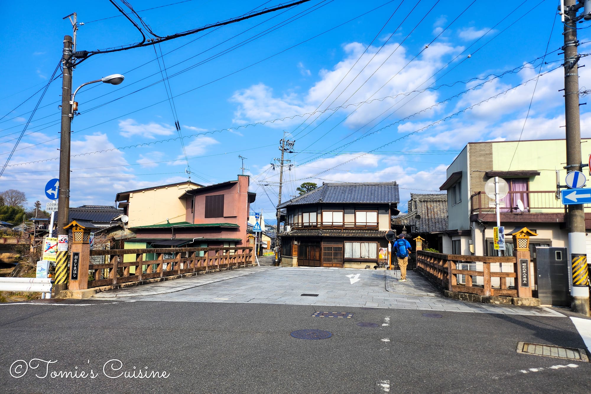
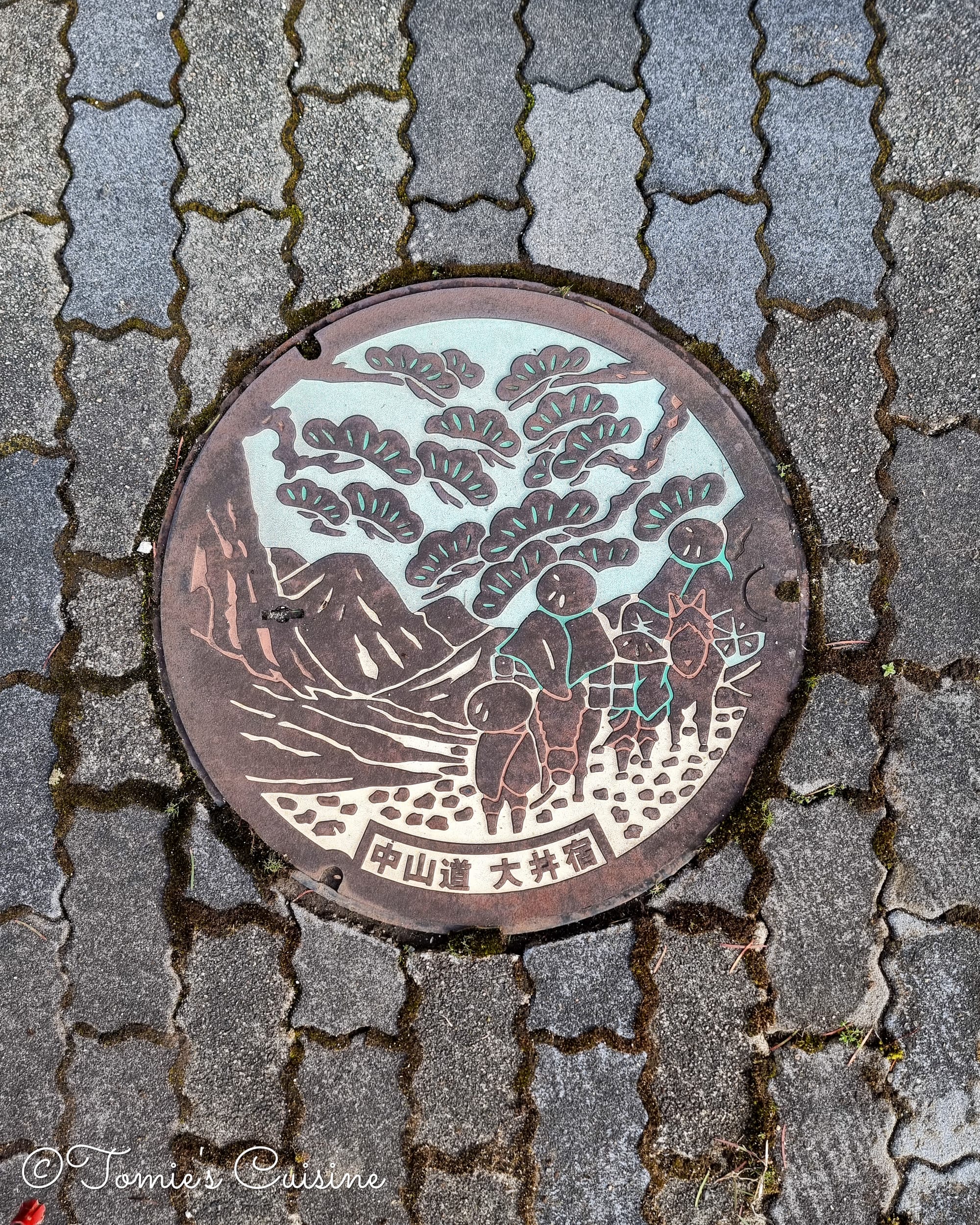
Crossing a bridge over Nagata River (left), and an Ooi post town’s decorative utility hole cover (right).
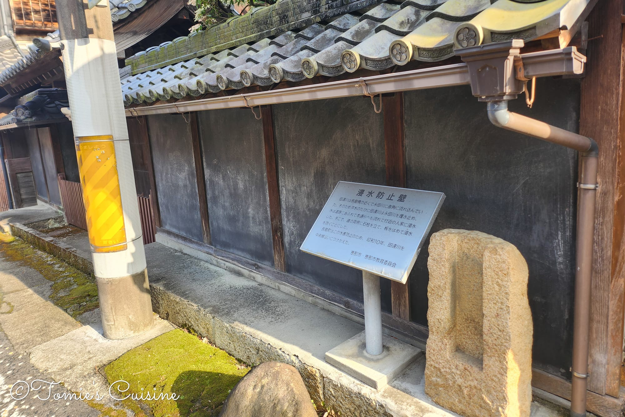
3:59 pm Historical flood-prevention walls 浸水防止壁
Traces remain in Ooi post town of old flood-prevention walls, grooves for inserting boards, and stone pillars installed along the houses after past flood damage. Historically, the Tagai River, which once ran nearby, joined the Nagata River at a right angle, so whenever flooding hit, water would overflow onto the road and cause serious damage.
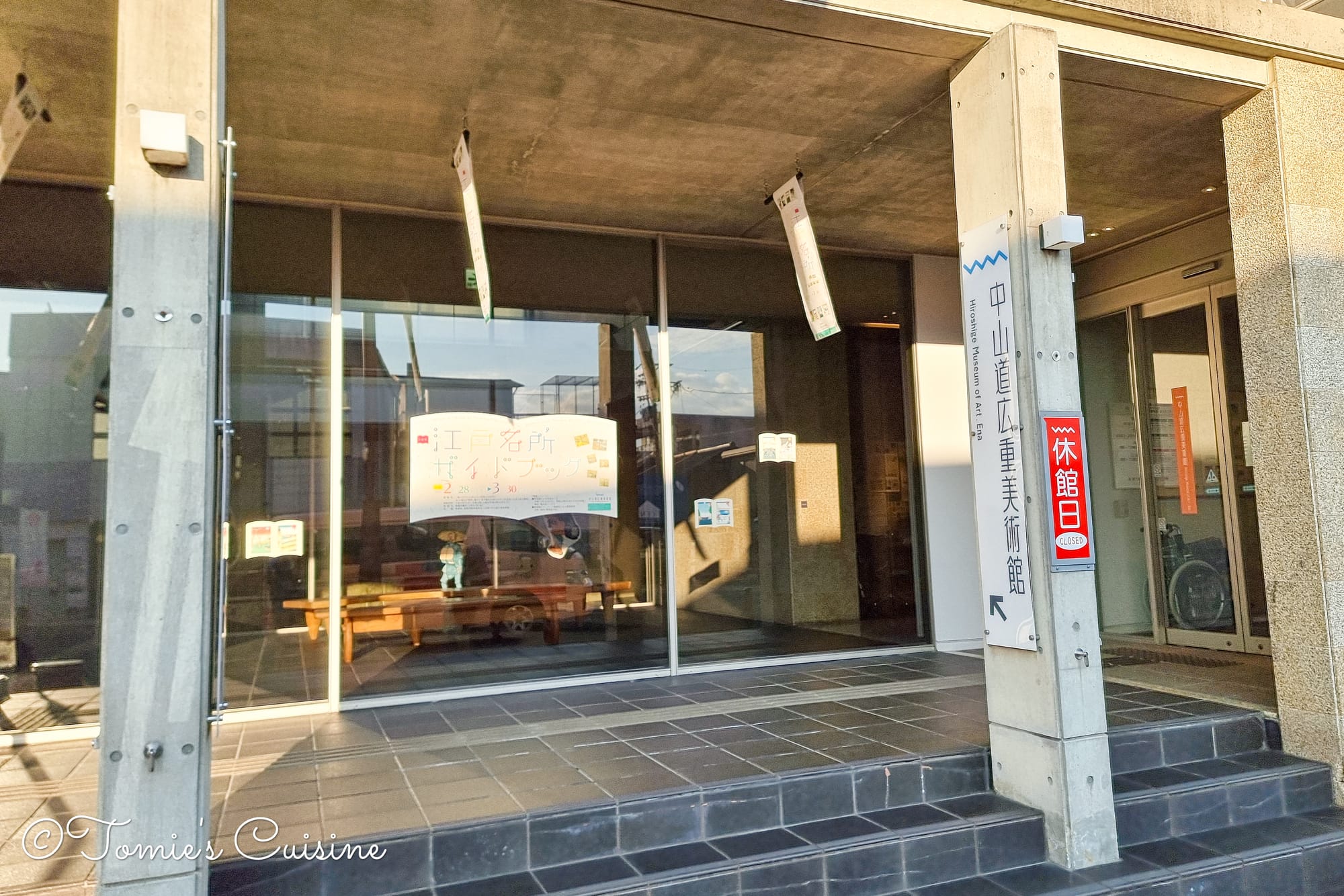
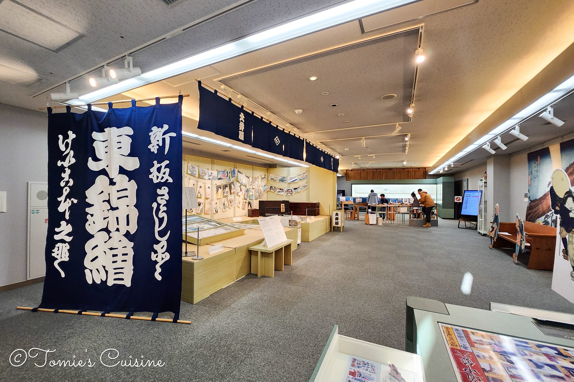
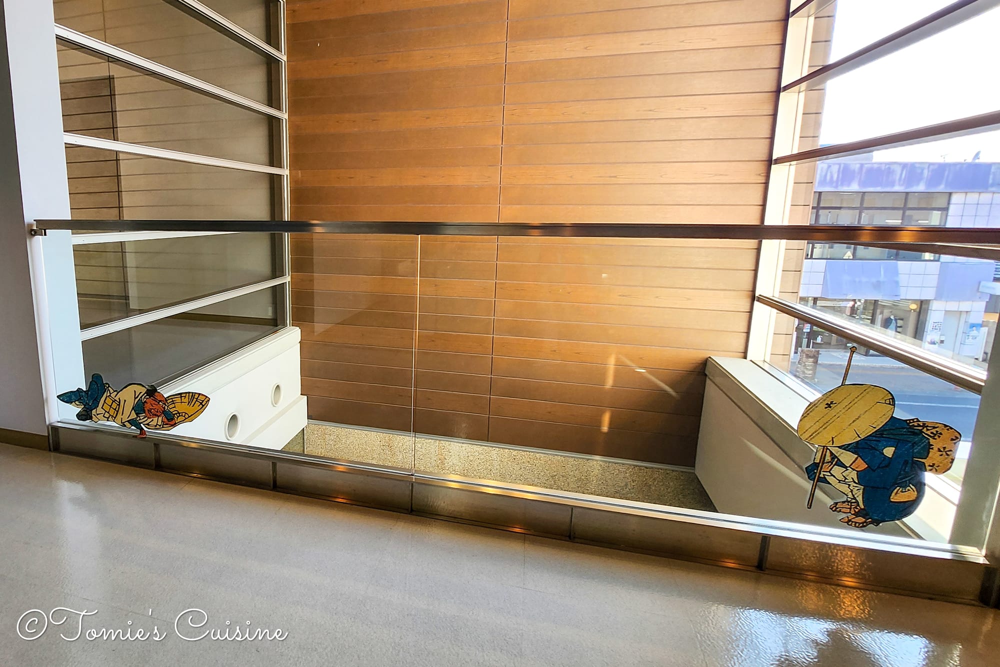
This publicly run museum is dedicated to ukiyo-e, holding around 1,500 works including Utagawa Hiroshige’s “The Sixty-nine Stations of the Kisokaido Road”, with pieces rotated almost monthly. We’d been hoping to visit, and arrived with about 30 minutes to spare before closing. We were still carrying our backpacks, so we asked the receptionist if we could leave them, and she showed us where. The ground floor has a souvenir shop, and upstairs holds the exhibition space along with videos on ukiyo-e and an ukiyo-e-making experience, similar to the one we’d tried in Kusatsu post town on Day 2.
Entry was 520 JPY per adult (free on Wednesdays and Fridays!). It’s not a large museum, so we managed to see everything in around 30 minutes, though we’d happily have stayed longer.
5:09 pm Arrived at the hotel
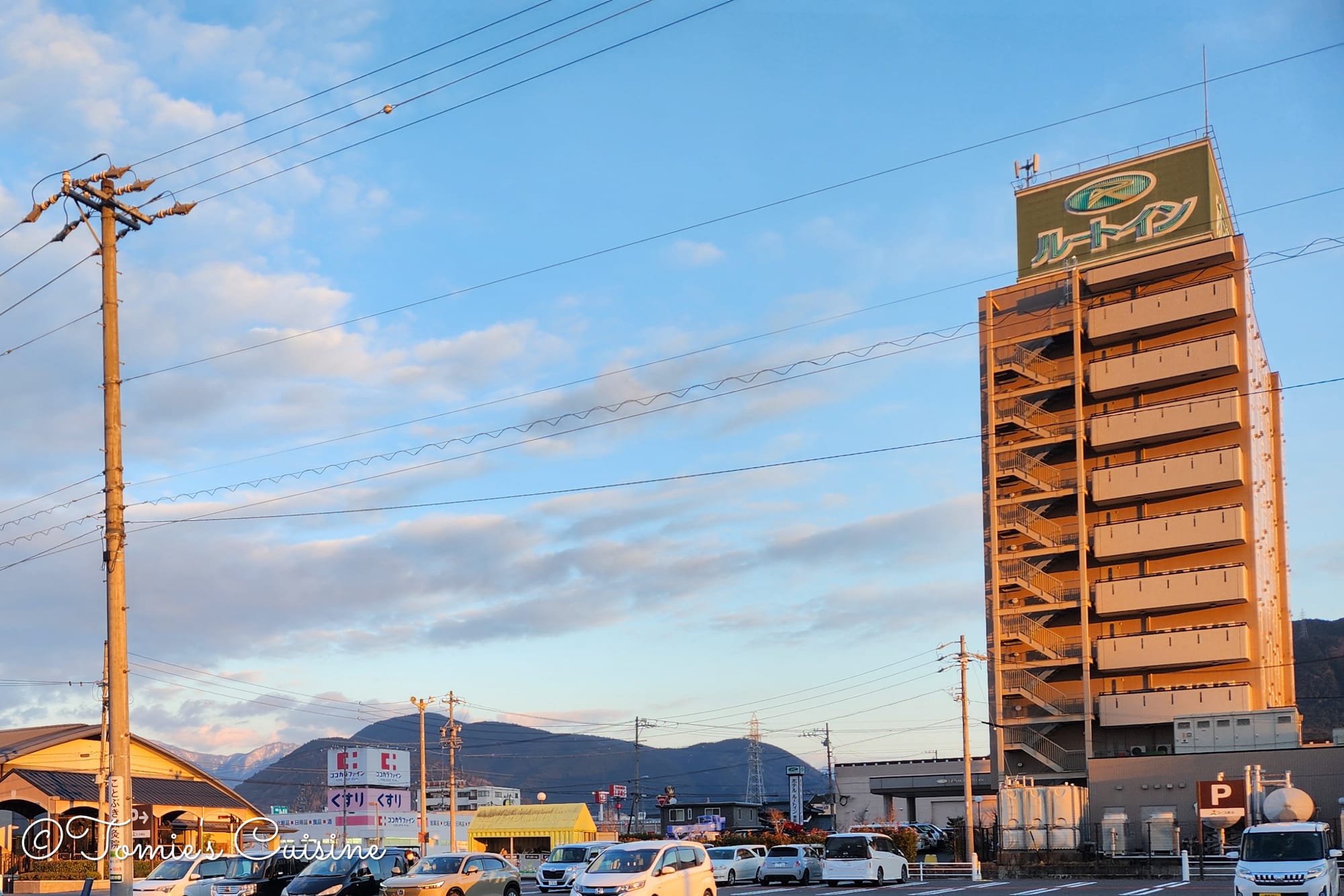
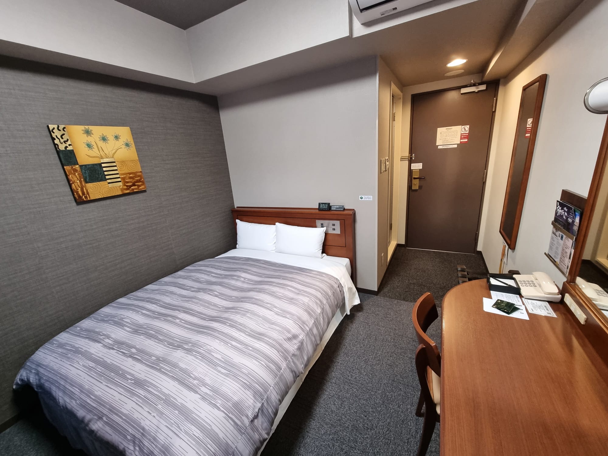
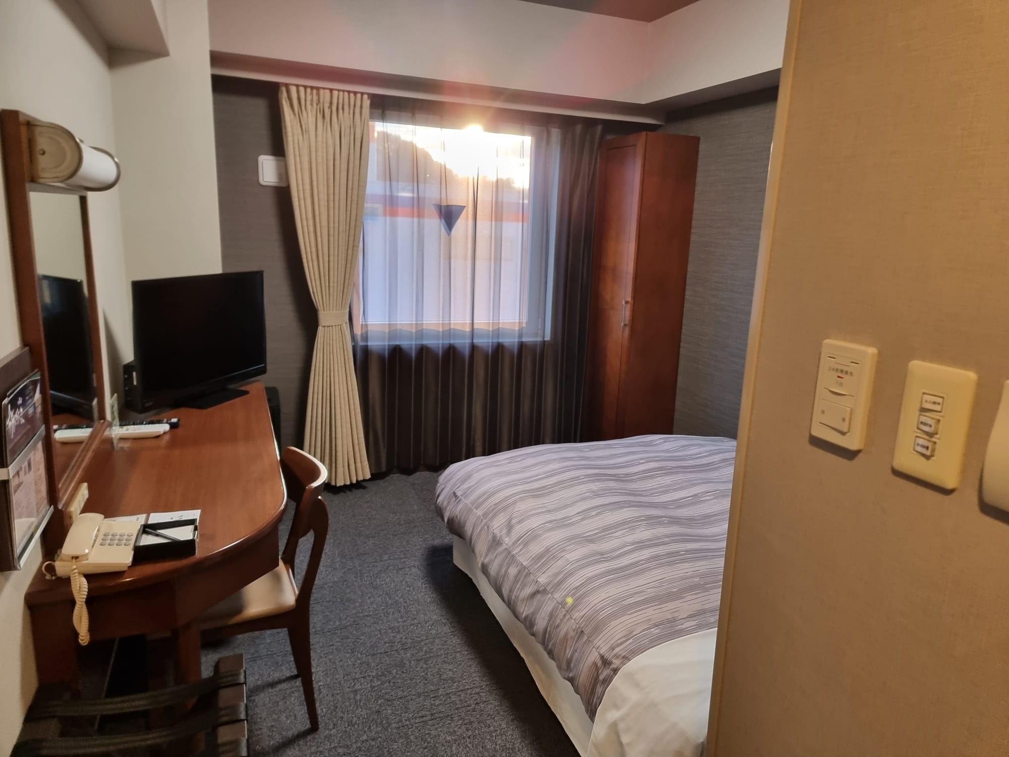
We stayed at Hotel Route Inn Ena on Day 8, a short but comfortable walk from Ooi post town. On arrival, we were told there was no record of our booking, despite having a confirmation email and proof of payment; it seems the booking platform had either failed to pass on our details or the hotel hadn’t received them. We spent just over half an hour at reception sorting it out, forwarding our booking receipt and writing our details down on paper, before finally getting a room. It was stressful after a full day of walking, and worth bearing in mind if you book through a third party.
The room was clean, and the price included a buffet breakfast, which turned out to be excellent. There’s a bathroom in the room, and the hotel also has a public artificial hot spring. Afterwards, we went to a nearby supermarket for dinner and supplies to carry with us. The hotel has a microwave on the ground floor, so we were able to reheat our food.
💡
Hotel Route Inn Ena is one of the 19 hotels reviewed in full in our Nakasendo field guide — along with how to avoid the booking mix-up we ran into here.
Closing words
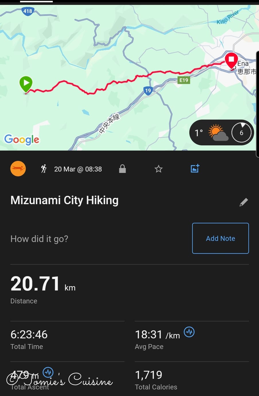
On Day 8, we walked 20.71km in 6 hours and 23 minutes. The path from Hosokute to Ooi post town was full of nature, the sun was out, we met some lovely locals, and we even made it to the art museum. We’d been worried about the road closure between Okute and Ooi, but were relieved to find no problems on the path. We’ll be back to walk this stretch again, to enjoy each post town a little more slowly.
Subscribe to our free newsletter, and you'll get Day 9 the moment it's live, plus a free offline GPX track covering the entire Nakasendo, so you know exactly where to go if you visit Japan.
If you have any questions or would like to see early photos of Nakasendo, feel free to visit our Instagram, Pinterest, or Facebook page. We’re happy to answer any inquiries!
This post is for subscribers only
Sign up now to read the post and get access to the full library of posts for subscribers only.